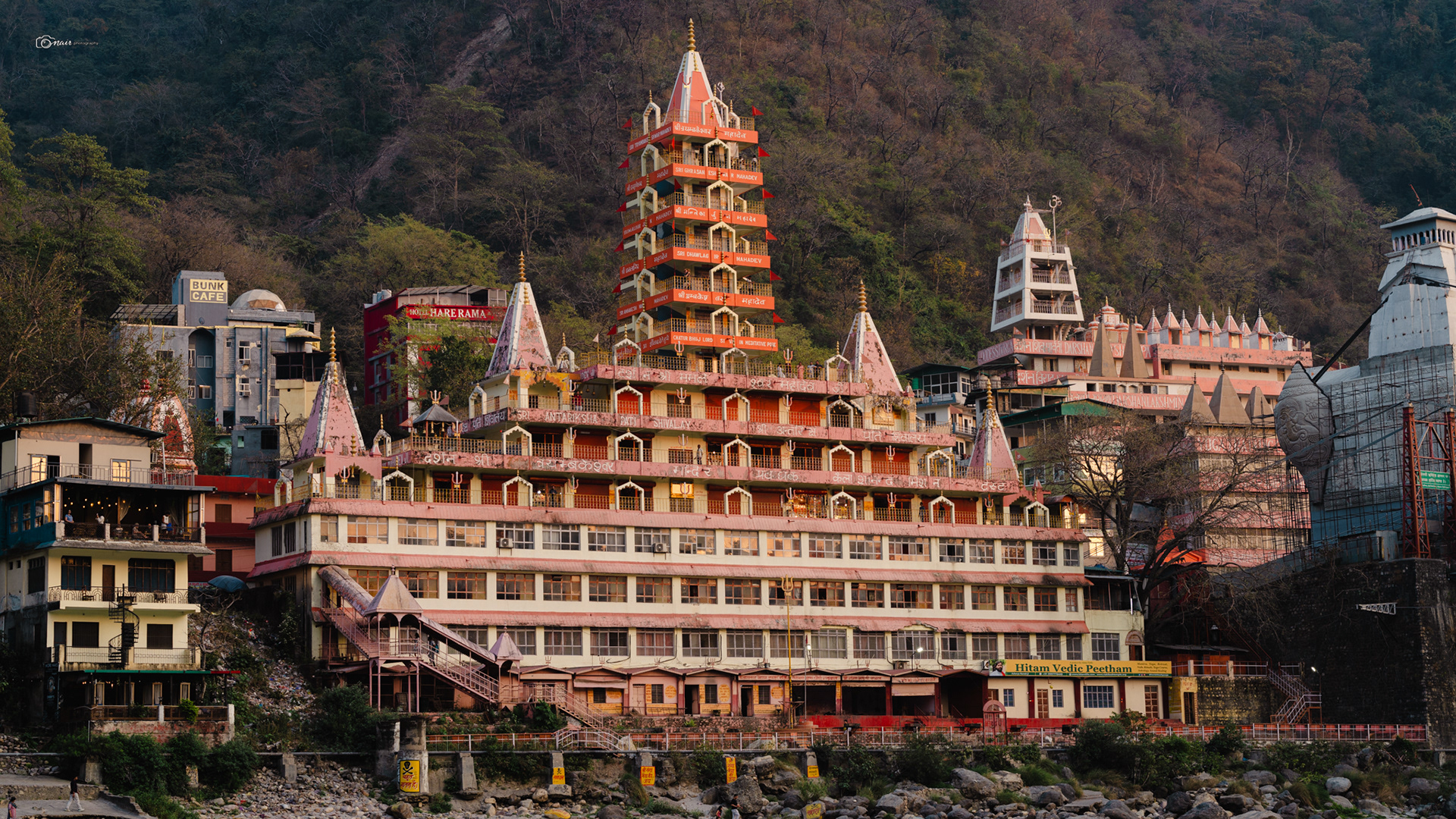
Let me start this journey from where every adventure in the hills begins. Rishikesh.
Sitting right at the foothills of the mighty Himalayas, this little city has been the starting point for almost every major route heading deeper into Uttarakhand for centuries.
Whether you are heading to the sacred Char Dham temples, the snow covered peaks of Kedarnath, or the quiet valleys of the Garhwal hills, you will pass through Rishikesh first.
It is where the plains end and the mountains begin, literally. The mighty Ganga flows through this town fresh from the glaciers above, and ancient ashrams line its banks where sages have meditated for thousands of years. The Beatles once came here looking for peace and put it on the world map, but long before them, pilgrims and wanderers already knew this truth.
Every road into the divine hills of Uttarakhand starts right here. So naturally, this is where our story begins too. Come, let me take you with me.
Now before we go any further, there is something you need to know about this place. Uttarakhand is not just any mountain state.
People call it Dev Bhoomi, which simply means the Land of Gods. And it earned that name honestly. Almost every river, every peak, every forest here has a story tied to Lord Shiva or the Pandavas from the Mahabharata.
Shiva is believed to have chosen these very mountains as his home, meditating in the high glaciers of Kailash and Kedarnath. The Pandavas, after the great war of Kurukshetra, are said to have walked through these exact hills on their final journey to the heavens. Locals will tell you that the temples here were not built by kings or architects but by the Pandavas themselves during that last walk.
People call it Dev Bhoomi, which simply means the Land of Gods. And it earned that name honestly. Almost every river, every peak, every forest here has a story tied to Lord Shiva or the Pandavas from the Mahabharata.
Shiva is believed to have chosen these very mountains as his home, meditating in the high glaciers of Kailash and Kedarnath. The Pandavas, after the great war of Kurukshetra, are said to have walked through these exact hills on their final journey to the heavens. Locals will tell you that the temples here were not built by kings or architects but by the Pandavas themselves during that last walk.
Every village has a tale, every trail has a legend. Keep this in the back of your mind as we go deeper into these mountains, because trust me, these stories are going to show up again and again on this journey.
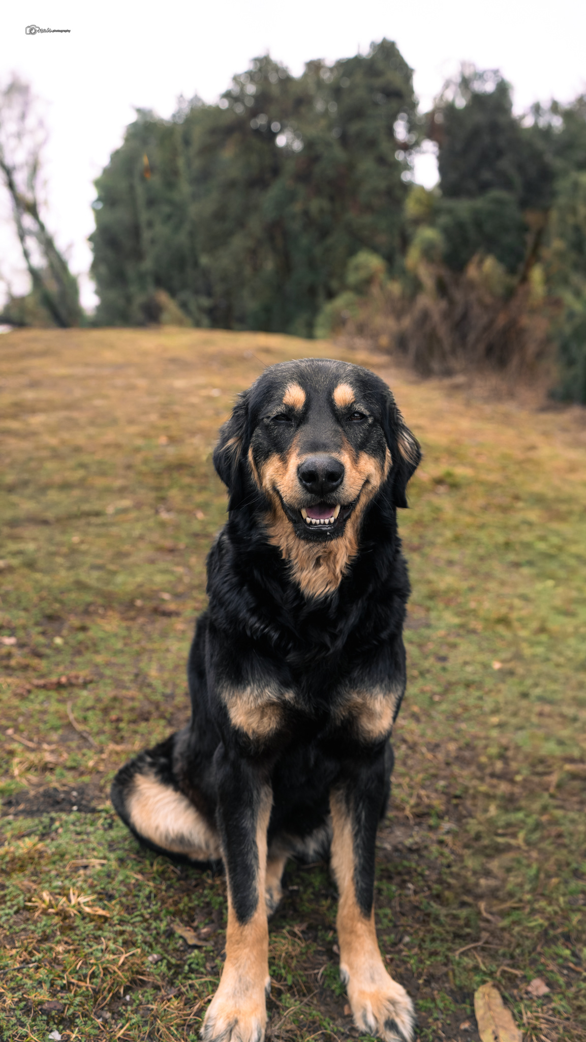
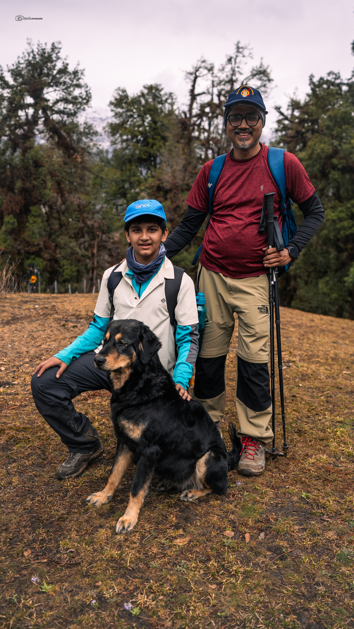
Now here is something nobody tells you before your first mountain trip, but you will notice it almost immediately. Dogs. Somewhere along the trail, a dog will quietly appear beside you and just start walking with you. No reason. No invitation. They just show up and stay. In the Himalayan villages, people do not find this strange at all. In fact, they see it as a blessing. There is an old belief among the mountain communities that these dogs are guardians of travellers, sent by the mountains themselves to watch over you on your path. Some locals in Nepal, Tibet, and Himachal say these dogs are messengers of the gods, spirit guides in fur coats making sure you do not lose your way.
There is even a saying you will hear if you spend enough time in these hills. "If a dog walks with you, the mountain blesses your path." And if you remember what I told you about Uttarakhand being the land of gods, this starts making a lot more sense. So when a furry friend joins you on the trail, do not shoo them away. The mountains might just be looking out for you.
There is even a saying you will hear if you spend enough time in these hills. "If a dog walks with you, the mountain blesses your path." And if you remember what I told you about Uttarakhand being the land of gods, this starts making a lot more sense. So when a furry friend joins you on the trail, do not shoo them away. The mountains might just be looking out for you.
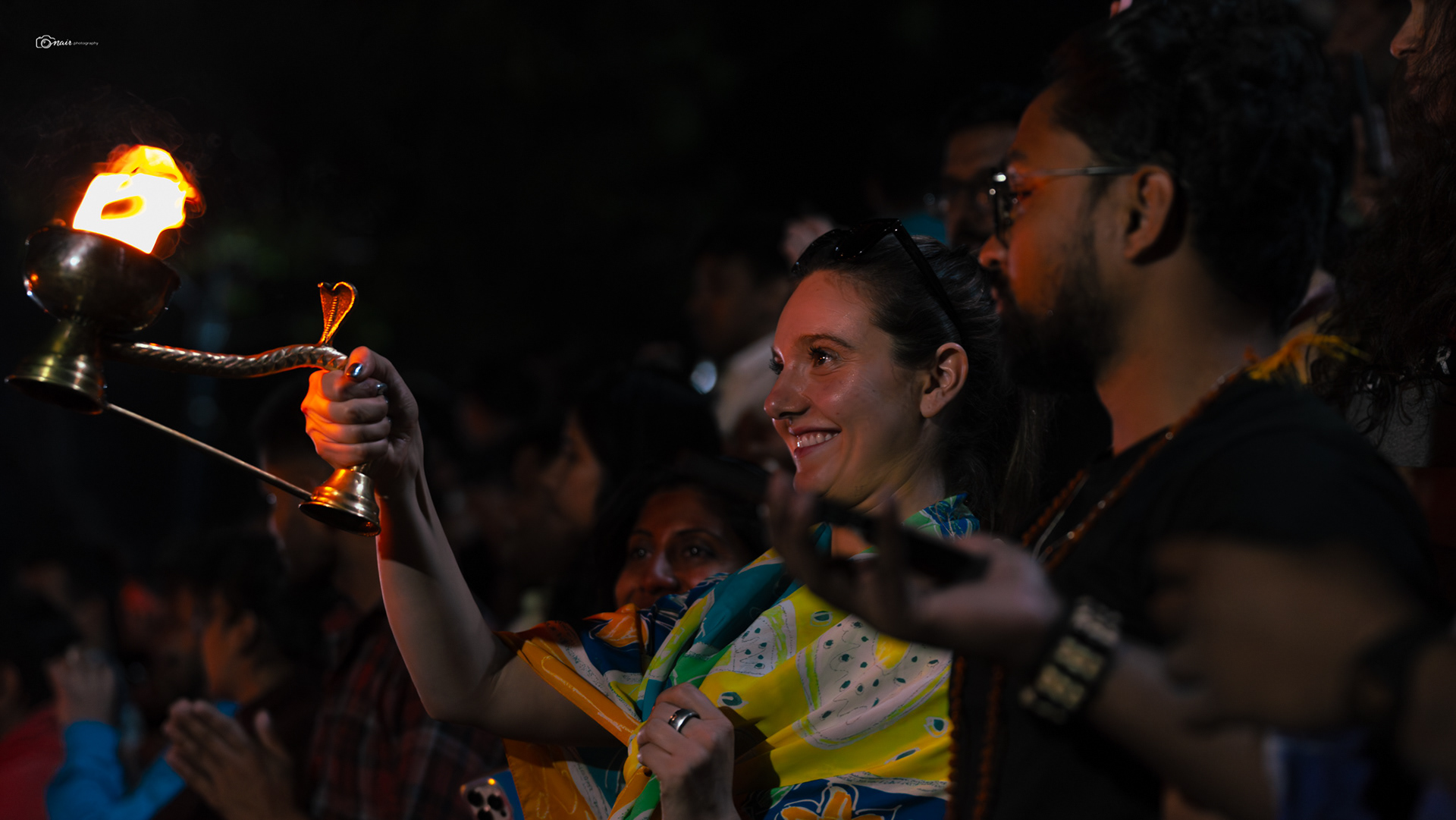
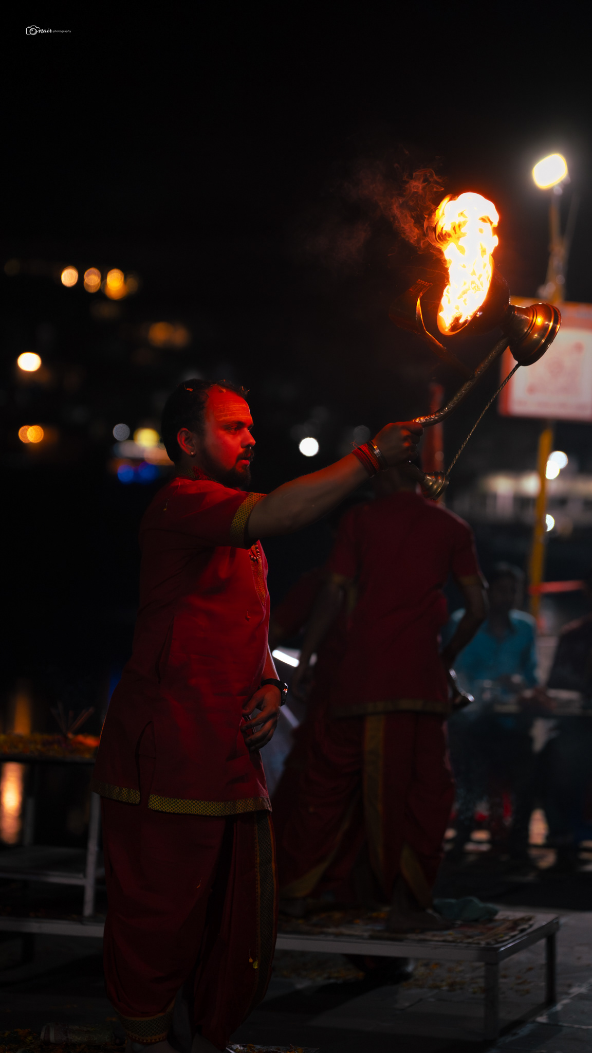
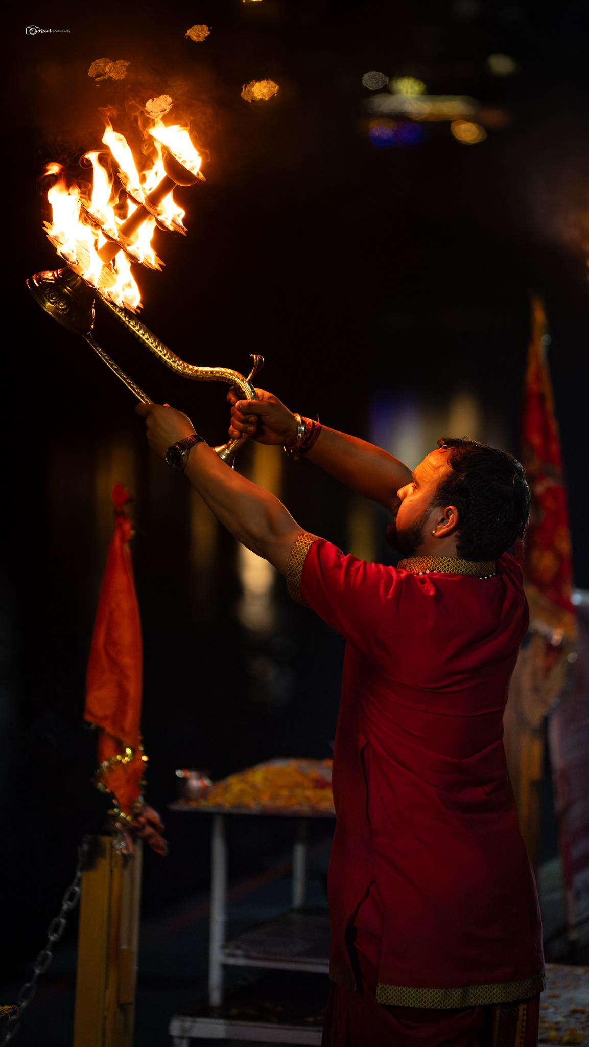
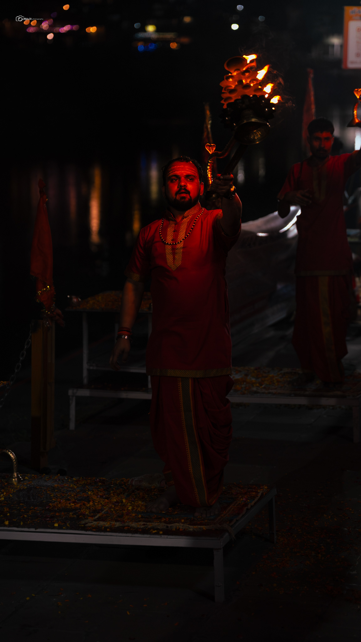
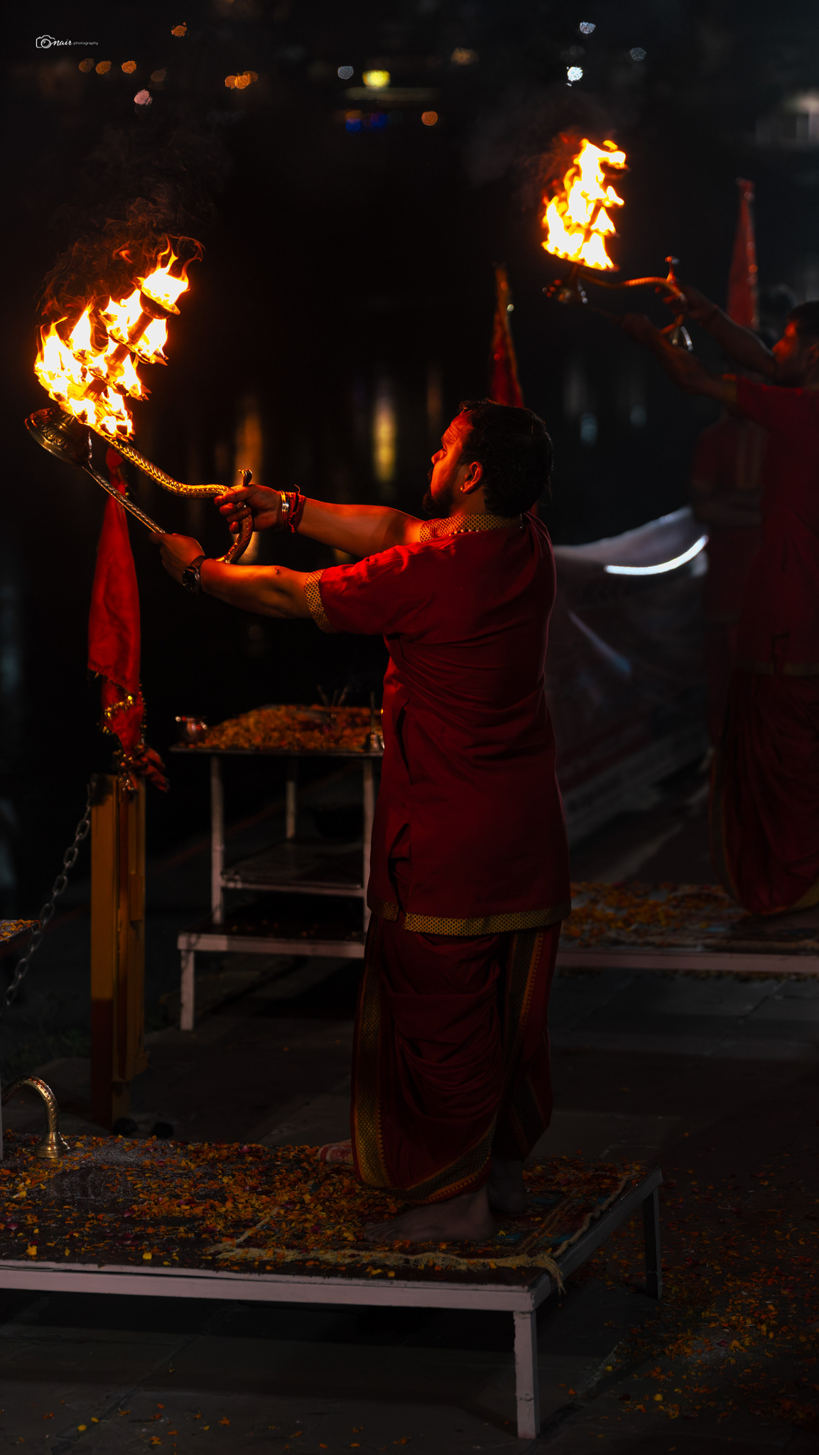
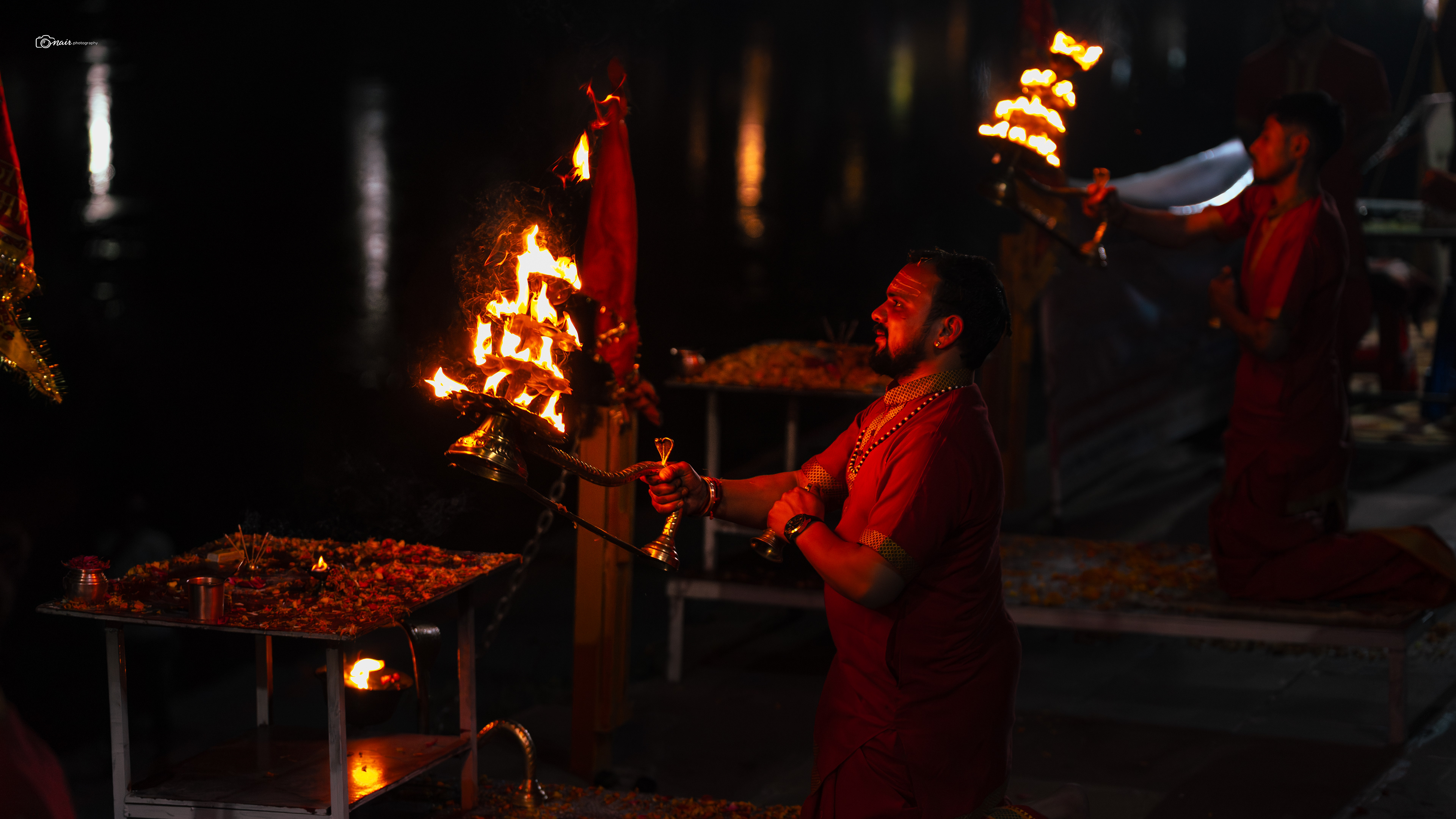
Before we leave Rishikesh, there is one thing you absolutely cannot miss. Every single evening, as the sun dips behind the mountains, the banks of the Ganga come alive with fire, chants, and the sound of temple bells. This is the Ganga Aarti, and it has been happening here every day without a break for as long as anyone can remember.
But why every single day? To understand that, you need to know who Ganga really is. And trust me, there is not just one story. There are many. In one telling, Ganga is the daughter of Lord Brahma himself, born from his kamandala when he was washing the feet of Vamana, the dwarf incarnation of Lord Vishnu. In the Valmiki Ramayana, she is the daughter of King Himavat and Queen Menaka, and the sister of Parvati, Lord Shiva's own consort. The Vishnu Purana says she was created from the sweat of Lord Vishnu's feet. Every scripture has its own version, but they all agree on one thing. Ganga is divine. She is not just a river. She is a goddess.

Now among all these stories, the most famous one comes from the Ramayana Bal Kand, narrated by Brahma Rishi Vishwamitra himself. It goes like this. King Sagar, the ruler of Ayodhya and an ancestor of Lord Rama, decided to perform the Ashwamedha Yagna, a great horse sacrifice, to prove his power. This made Indra, the king of the gods, jealous. So Indra stole the horse and tied it near the ashram of Sage Kapila deep in the forest. King Sagar sent his 60,000 sons to find it. When they found the horse near the meditating sage, they assumed he had stolen it and began insulting him, disturbing his deep meditation. The furious sage opened his eyes and with the yogic fire in his gaze, burnt all 60,000 princes to ash in an instant. When King Sagar's grandson Anshuman finally found the heap of ash and the sage, he fell to his knees and begged for forgiveness. Sage Kapila, pleased by his humility, told him there was only one way to free the souls of the fallen princes. Bring the holy Ganga down from the heavens, for only her waters could wash away their sins and grant them salvation. Anshuman tried. His son Dilip tried after him. Both failed. It was Dilip's son Bhagiratha who finally performed such intense and dedicated penance that Lord Brahma himself was moved and granted Ganga permission to descend to earth.
But Ganga, feeling insulted at being sent down, decided to come crashing with her full force, ready to sweep away everything in her path. Bhagiratha knew the earth could not survive that. So he prayed to Lord Shiva, who calmly caught the mighty river in his matted locks and released her gently onto the land. That is how Ganga came to earth. That is why Shiva is called Gangadhar, the one who holds Ganga.
That sacrifice, that divine journey from heaven to earth, is what the aarti honors every single evening. And it is not just Rishikesh. In 1997, the tradition of a grand daily Ganga Aarti began at Dashashwamedh Ghat in Varanasi, one of the most ancient and magnificent ghats on the banks of the Ganga. A ghat, by the way, is simply a flight of steps leading down to a river. Dashashwamedh literally means the sacrifice of ten horses, because according to legend, Lord Brahma himself organized a great Yagna at this very spot to recall Lord Shiva from exile. So whether it is Rishikesh or Varanasi, every evening when the flames rise and the chants fill the air, it is the same ancient thank you being offered to the river that chose to leave heaven and flow among us. Standing there on the ghats, watching the flames dance on the water while hundreds of voices chant together, trust me, even if you are not religious, something inside you goes still. I stood there that evening and honestly, leaving felt harder than I expected.
Now since we are talking about the Ganga, let me tell you something beautiful about how she is actually born. The Ganga as you see her in Rishikesh is not just one river. She is the coming together of two rivers called Alaknanda and Bhagirathi.
The Bhagirathi starts from the Gaumukh glacier up at the snout of the Gangotri glacier, while the Alaknanda begins from the Satopanth glacier near Badrinath.
These two rivers travel hundreds of kilometers through deep valleys and narrow gorges, and they finally meet at a place called Devprayag. That is where the Ganga officially gets her name. But here is the really fascinating part. Before reaching Devprayag, the Alaknanda collects four other sacred rivers along the way, and each of these meeting points is called a Prayag.
Together they are known as the Panch Prayag, the five sacred confluences of Uttarakhand. It starts with Vishnuprayag where the Alaknanda meets the Dhauliganga, then Nandprayag where she meets the Nandakini, followed by Karnaprayag where the Pindar river joins in, then Rudraprayag where the mighty Mandakini flowing down from Kedarnath merges with her, and finally Devprayag where the Bhagirathi and Alaknanda become one and the Ganga is born.
If you ever get the chance to stand at any of these confluences, you will actually see two different colored waters merging into each other right before your eyes. It is one of those sights that stays with you long after you leave. Every drop of Ganga water that touched your feet in Rishikesh has traveled through all five of these sacred meetings. Think about that for a moment.
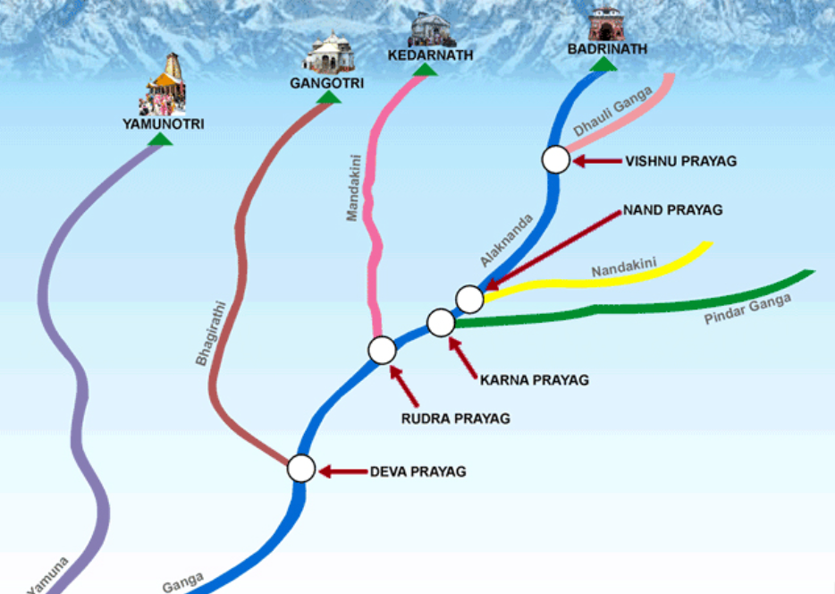
Source : www.faossb.com
Now that is the mythological side of things. By modern geography, the Ganga's actual source is the Gangotri glacier up at around 13,000 feet(specifically at Gaumukh), where the Bhagirathi begins her journey. She only officially earns the name Ganga much further down at Devprayag, where the Bhagirathi and Alaknanda finally come together.
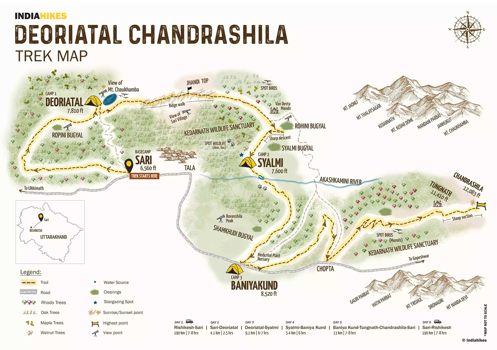
Before we begin, let me give you a quick overview of what the next 6 days looked like. I have mapped out the entire trail so you can see exactly where we walked, climbed, camped, and pushed our limits. Here is the full route from start to finish. Take a look
Day 1
But leave I did, because the mountains were calling. From Rishikesh, I began the long winding drive towards a tiny village called Sari, tucked away in the Rudraprayag district about 200 kilometers into the hills. The drive took about six hours through some of the most winding roads you will ever see, but the views along the way made every sharp turn worth it. Remember the Panch Prayag I told you about earlier? I got to witness two of them with my own eyes on this drive. First came Devprayag, the sacred spot where the Alaknanda and Bhagirathi rivers merge and the Ganga officially gets her name. Watching two rivers of different colors become one right in front of you is something that hits differently in person. Further along the road came Rudraprayag, where the Mandakini flowing down from the holy Kedarnath temple meets the Alaknanda. Both confluences were breathtaking, but I will be honest with you, there was a sadness to it too. The rivers were flowing at their lowest capacity. These are rivers that once roared through these valleys without ever running dry, and now they looked tired, almost fragile. Our local guide pointed at the bare brown mountains around us and said something that stuck with me. He said there used to be a time when this entire valley would be covered in snow at this time of the year, but now it is bone dry. The glaciers are receding, the snowfall is less every year, and the rivers are paying the price. Standing there looking at those thinning waters, I could not help but worry about what these mountains will look like twenty years from now. It is a thought that stayed heavy in my chest for the rest of the drive.
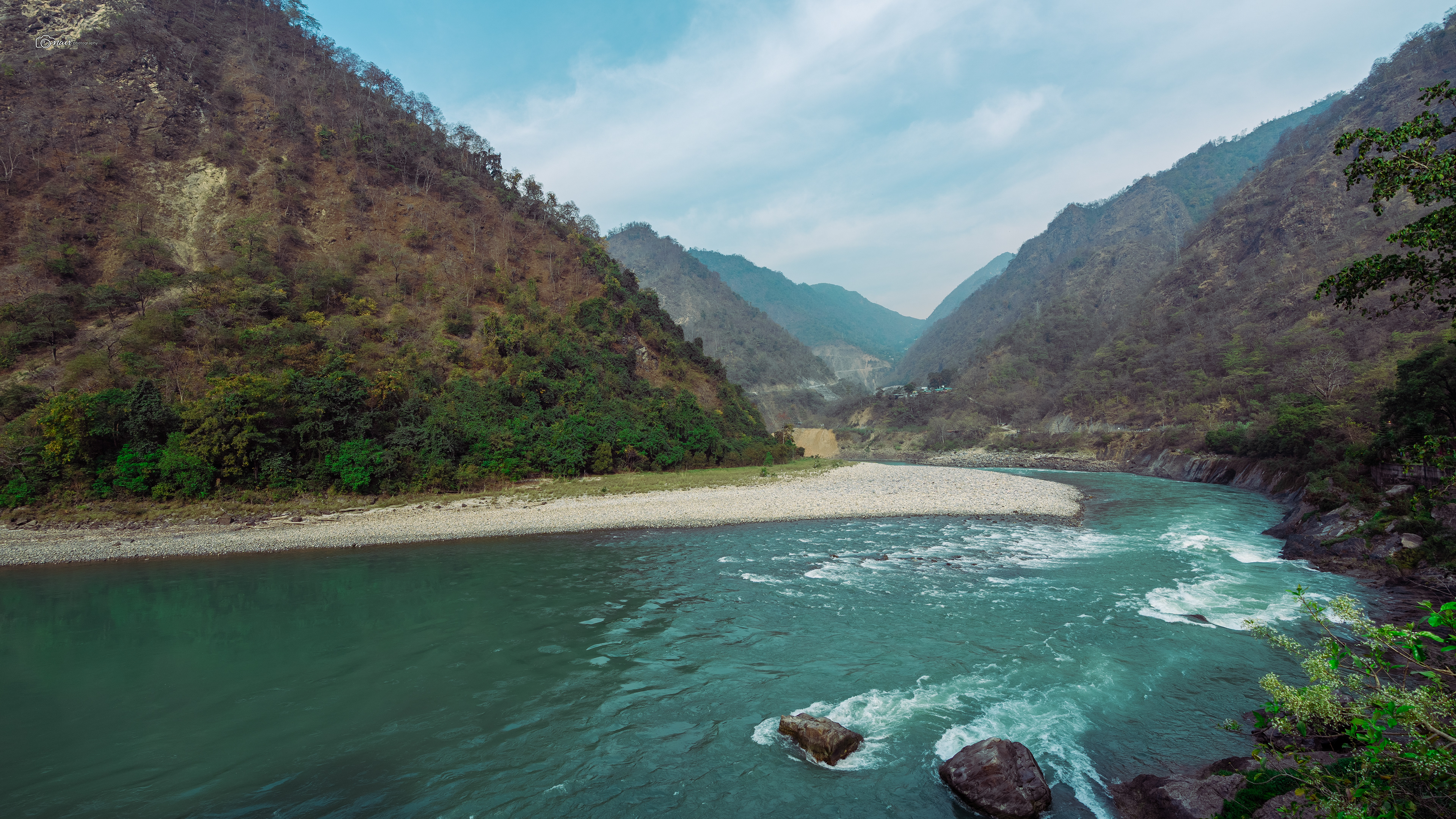
Ganga
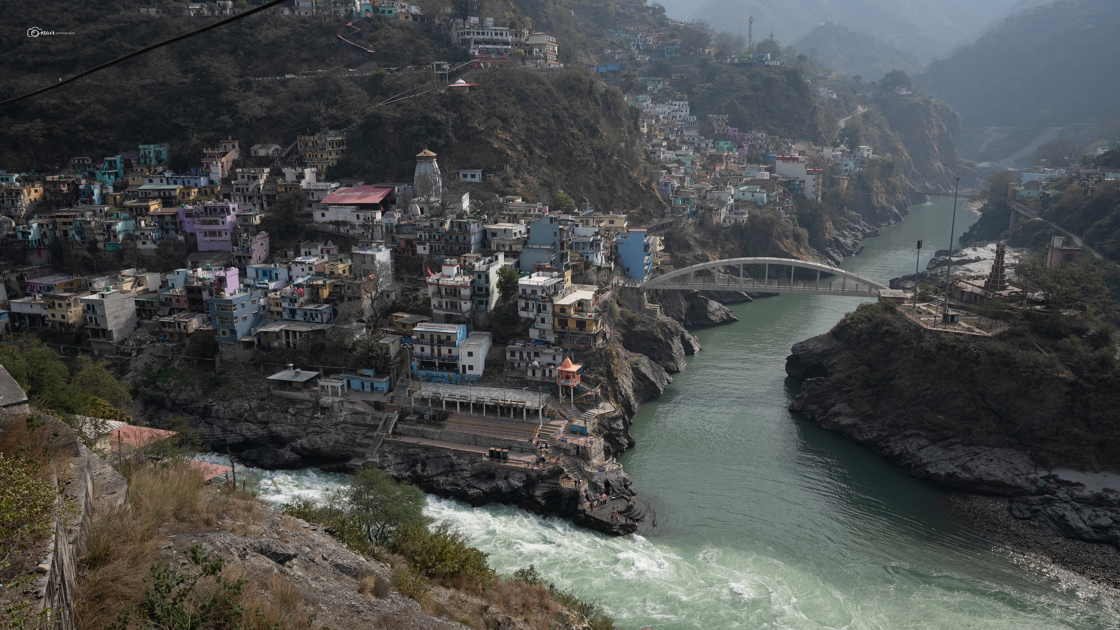
Devprayag: Origin of ganga
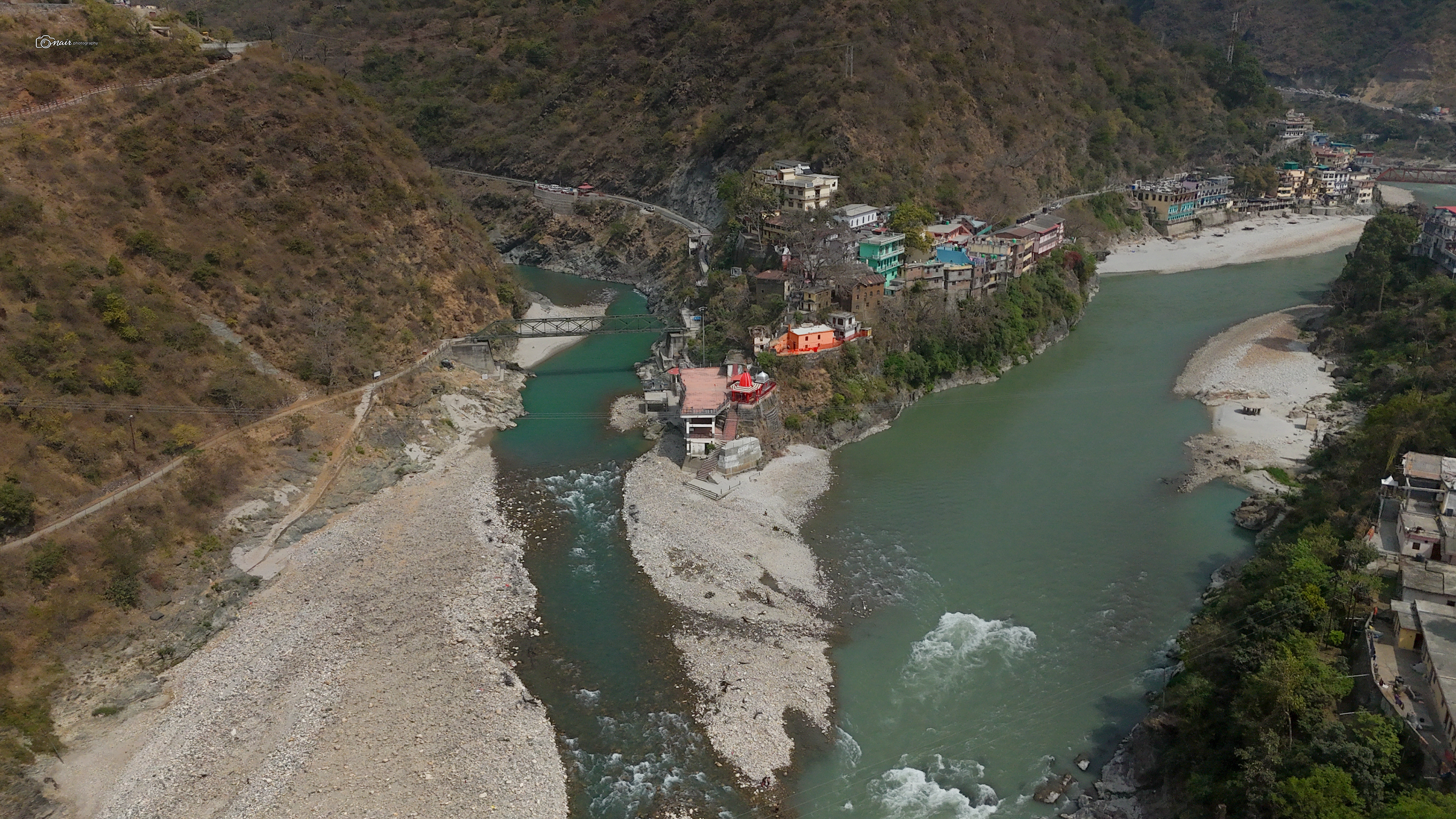
Rudraprayag: Origin of Mandakini
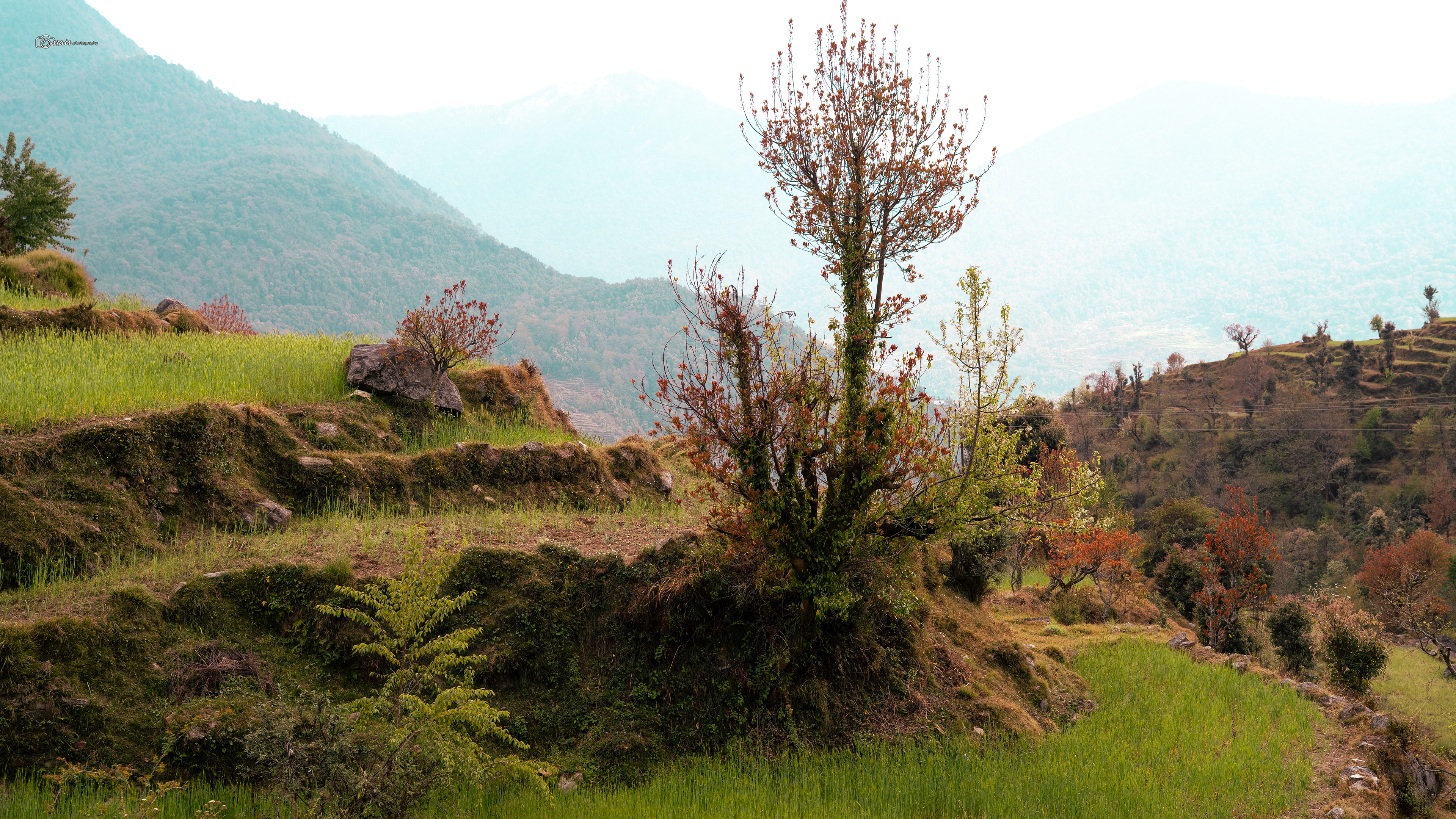
But then we arrived at Sari, and the heaviness lifted a little. Sari is a 400 year old village sitting at around 6,500 feet, right in the heart of Uttarakhand. The name Sari comes from the Hindi word meaning everywhere, because no matter which direction you look, all you see are fields. Wheat fields, paddy terraces, apple and peach orchards, all prettily laid out across the hillside as if someone arranged them just for you to admire. The boundaries of these fields are lined with bright colored rhododendrons and oak trees, giving you a taste of what is waiting for you on the trek ahead. There are about 150 houses here, mostly cemented with many doors and windows, and if you look carefully you will even spot a few abandoned rock houses that are over a hundred years old. Ask any local about them and they will happily tell you how the houses have changed over the years. If you reach Sari while the sun is still out, do yourself a favor and walk around the village a bit. The views are gorgeous and you even get your very first glimpse of the Chandrashila summit from here. But do not expect shops or markets. Sari is quiet, quaint, completely uncommercialized, and the villagers simply go about their daily lives of farming and rearing livestock. If you have forgotten any trekking gear, there is nowhere to buy it here. So come prepared. This is not a tourist town. This is a village that has been living at its own gentle pace for four centuries, and honestly, after that long emotional drive through the thinning rivers and bare mountains, that slow pace is exactly the kind of medicine you need.
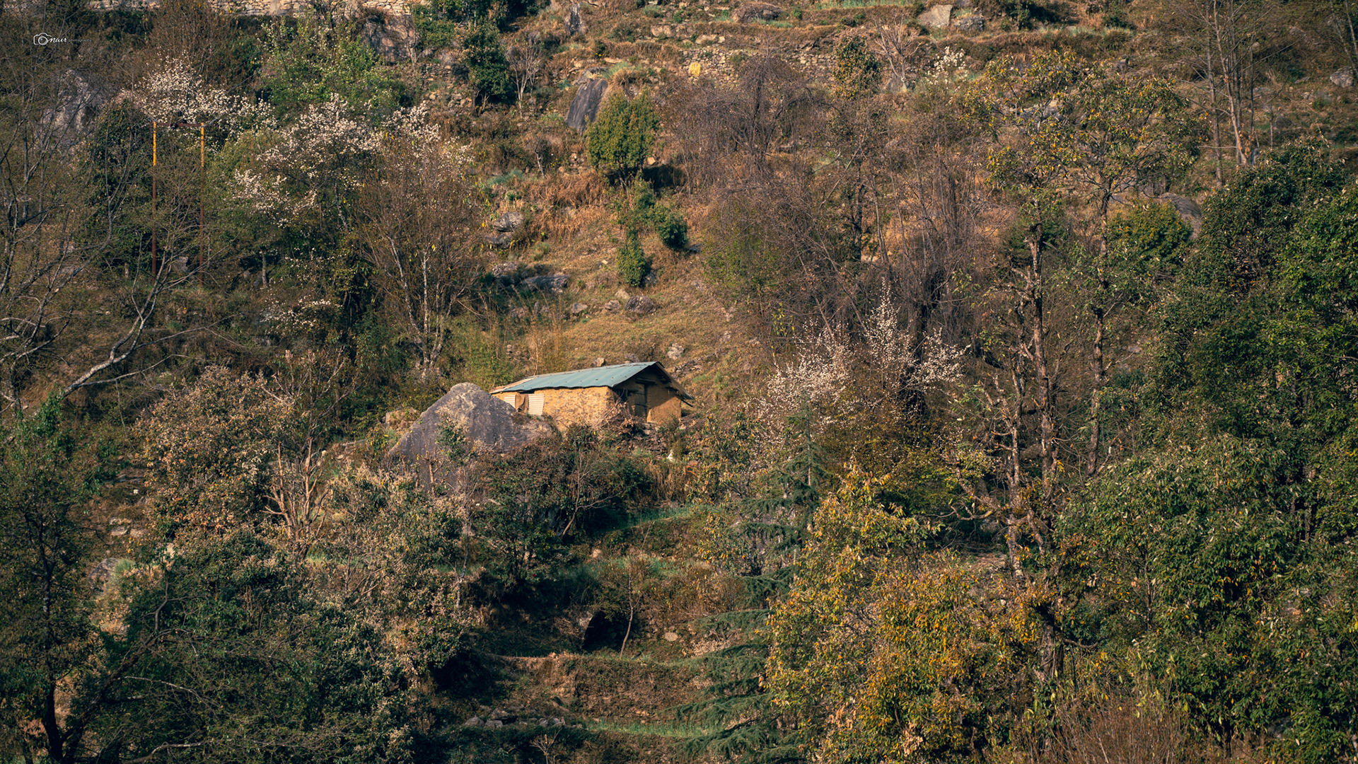
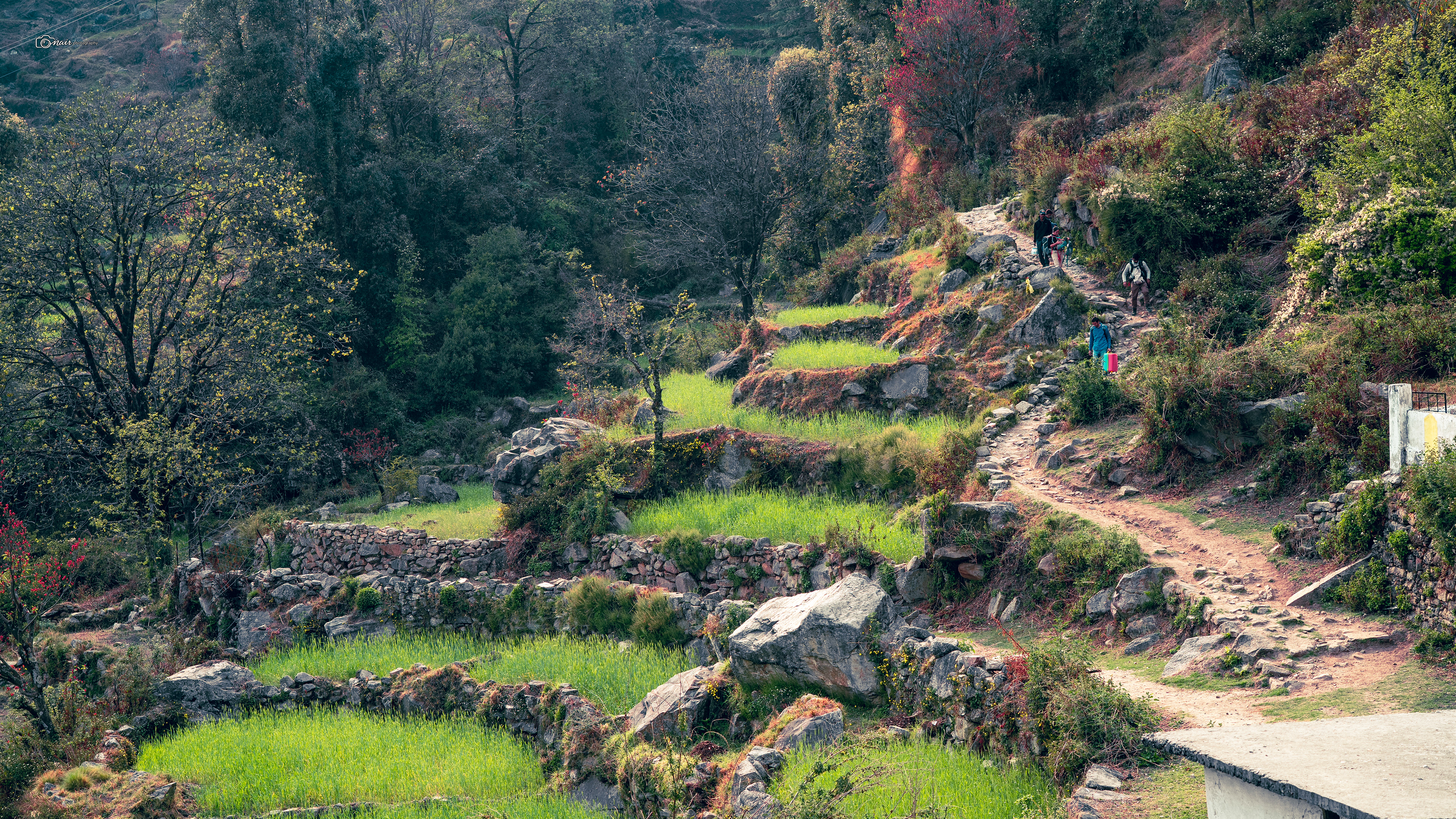
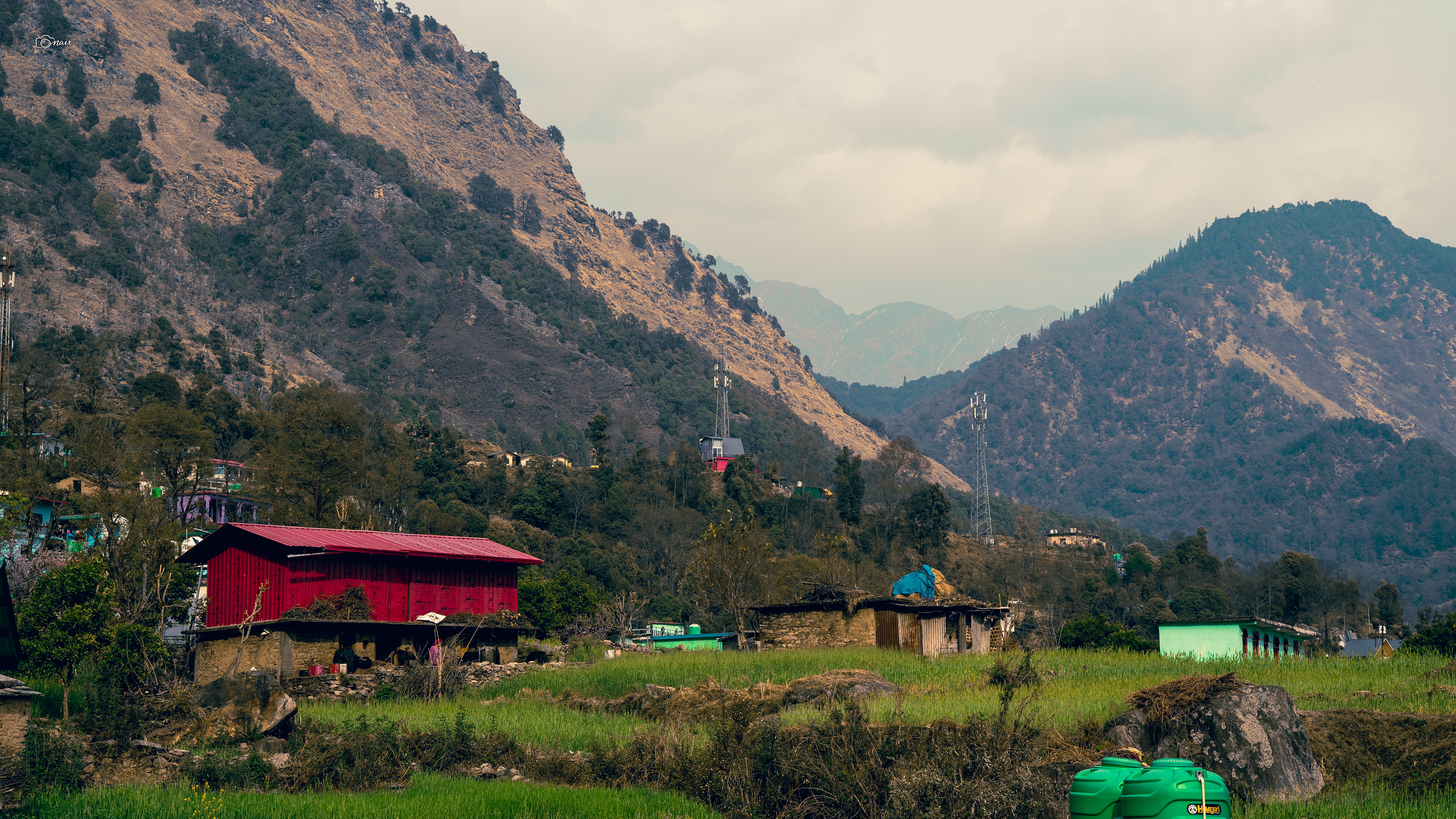
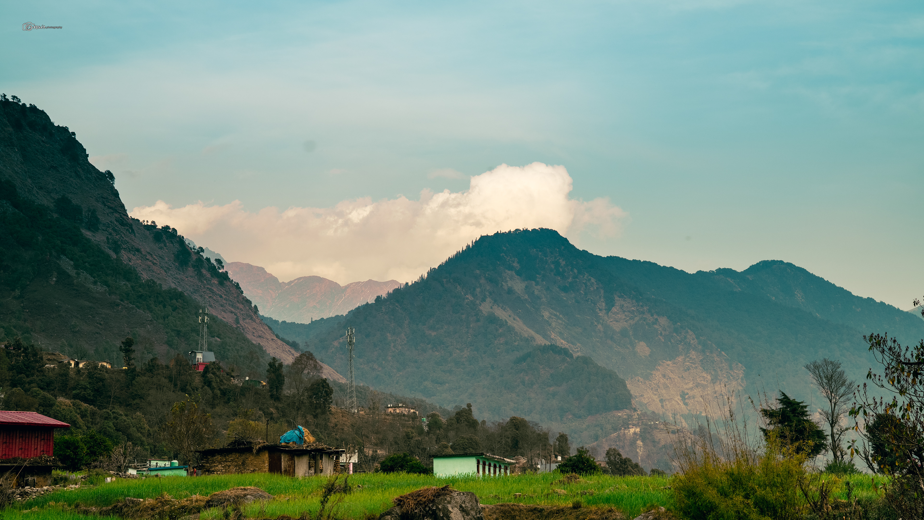
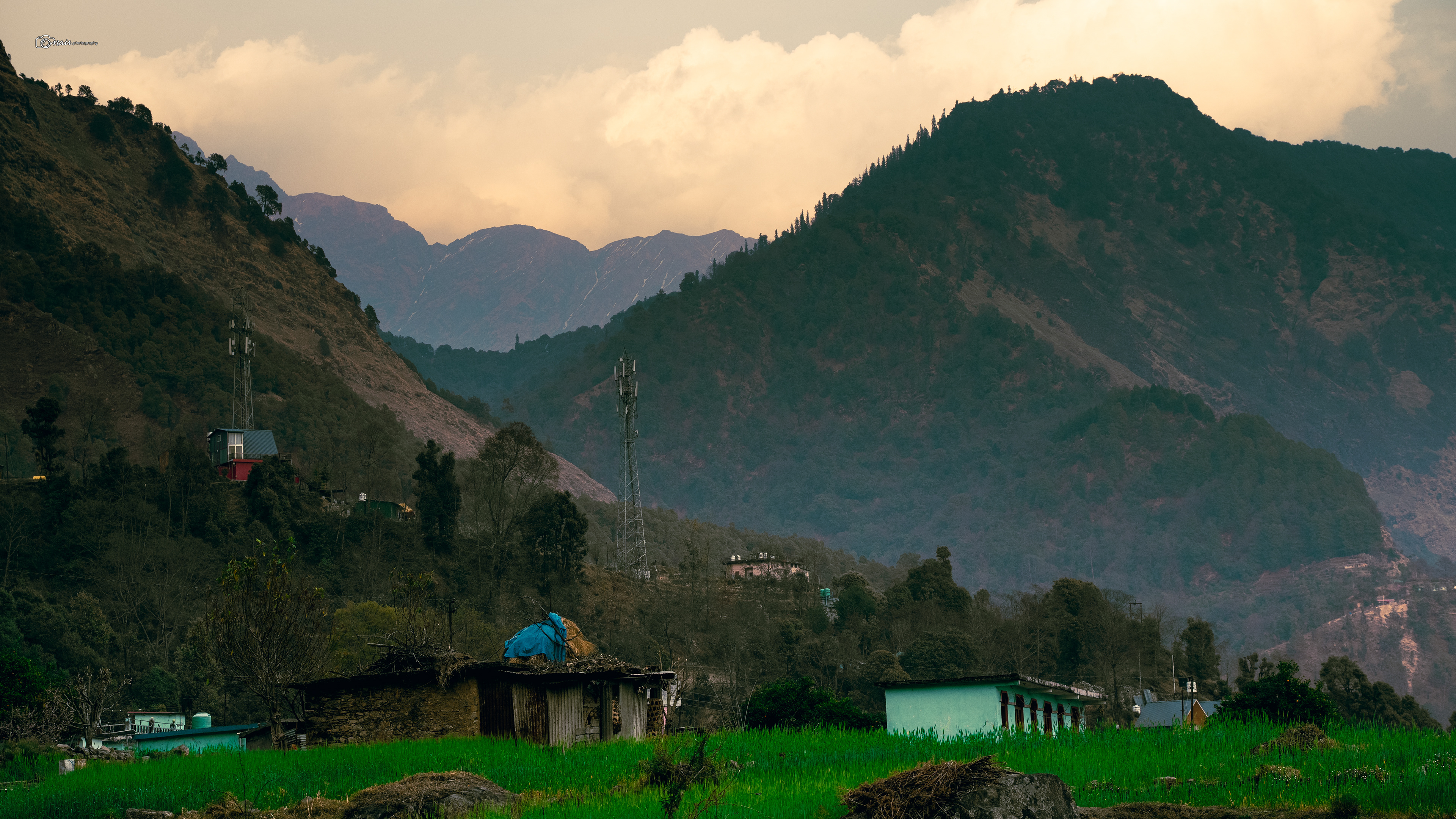
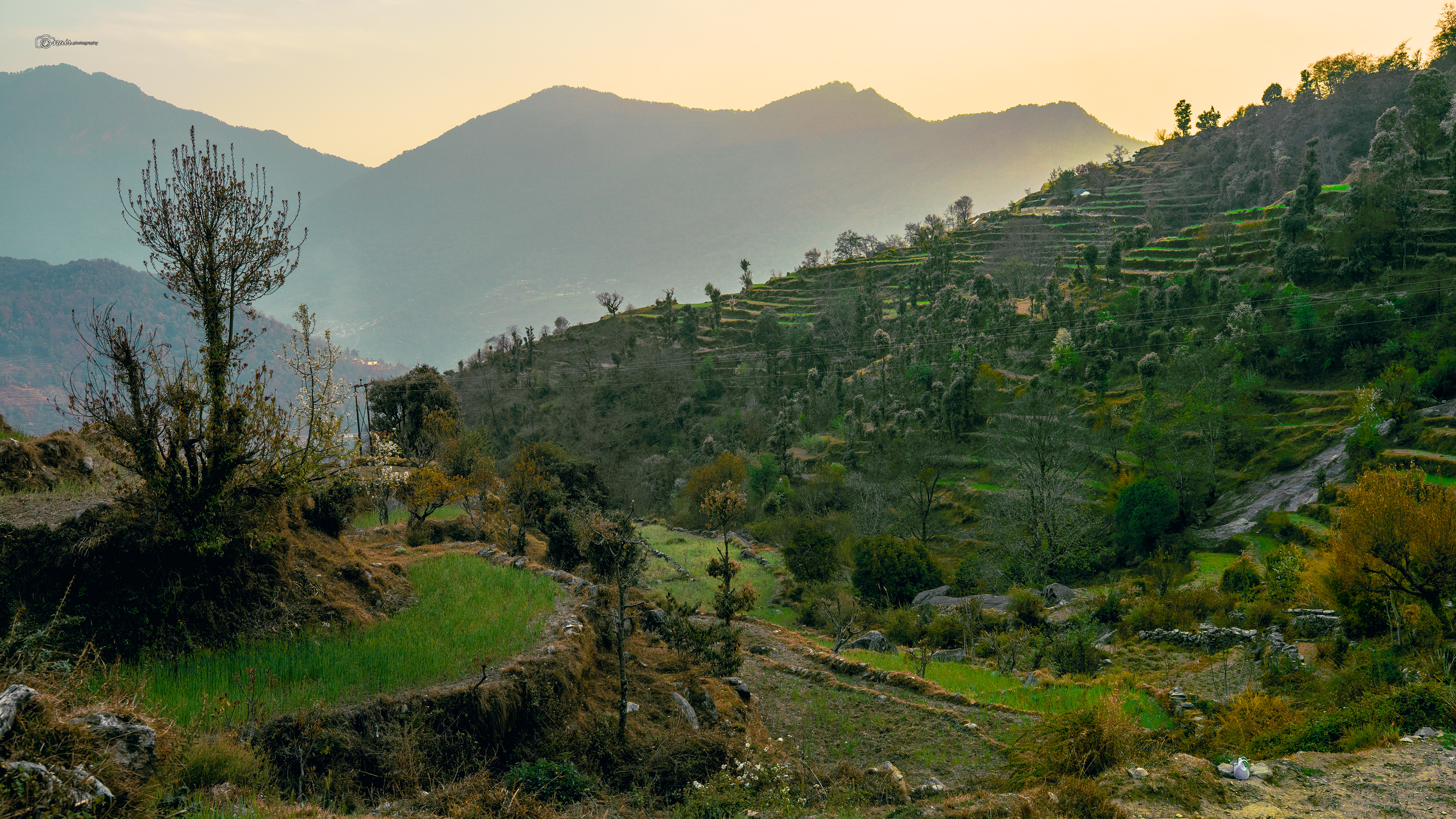
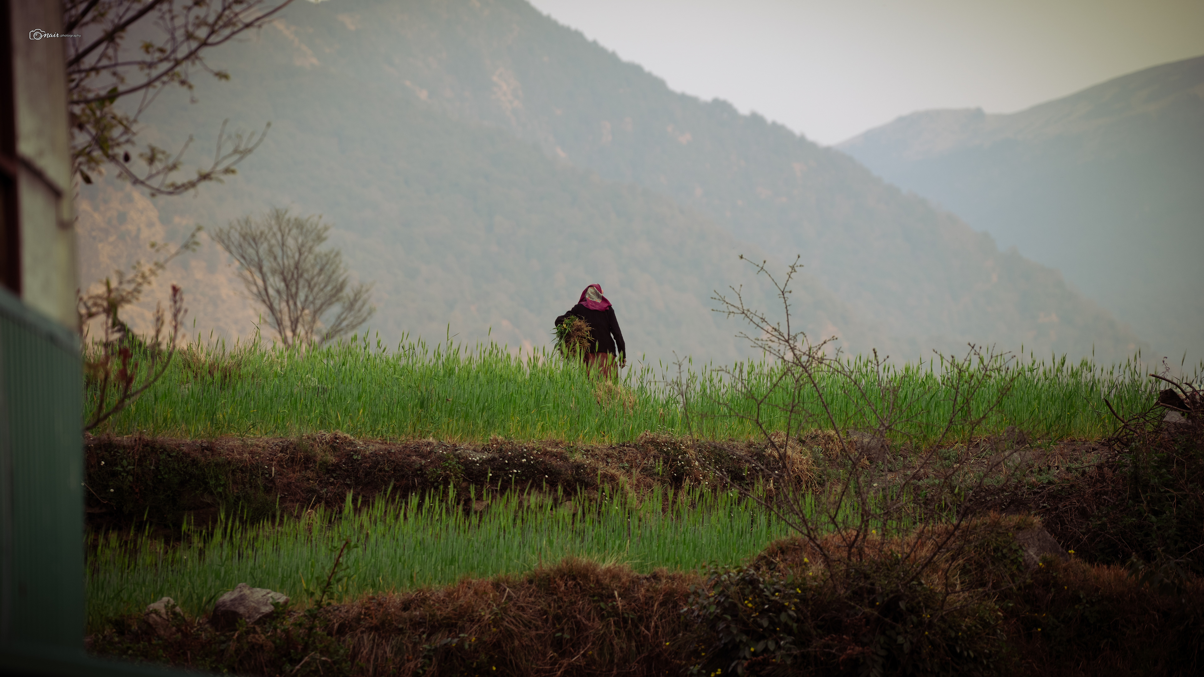
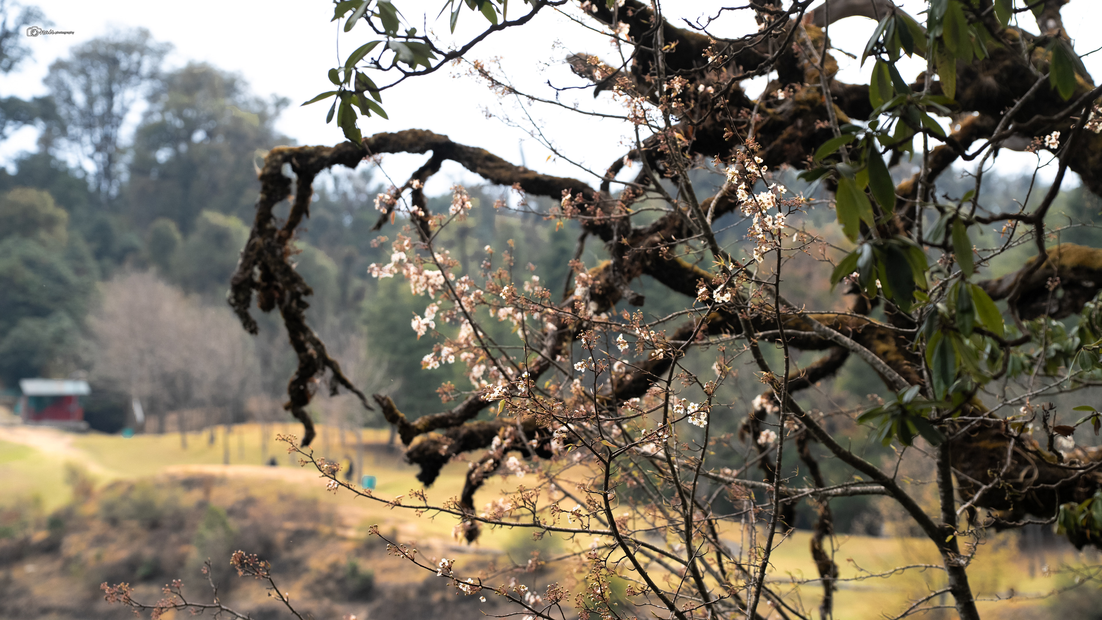
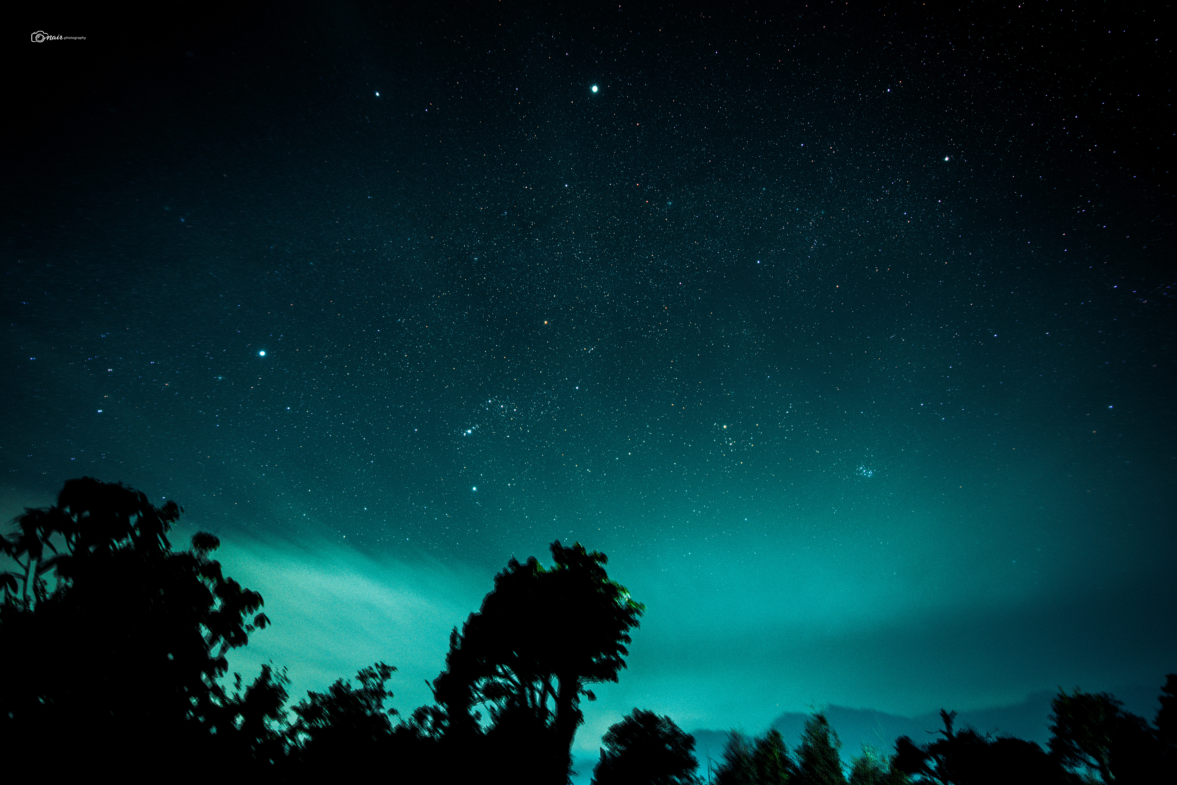
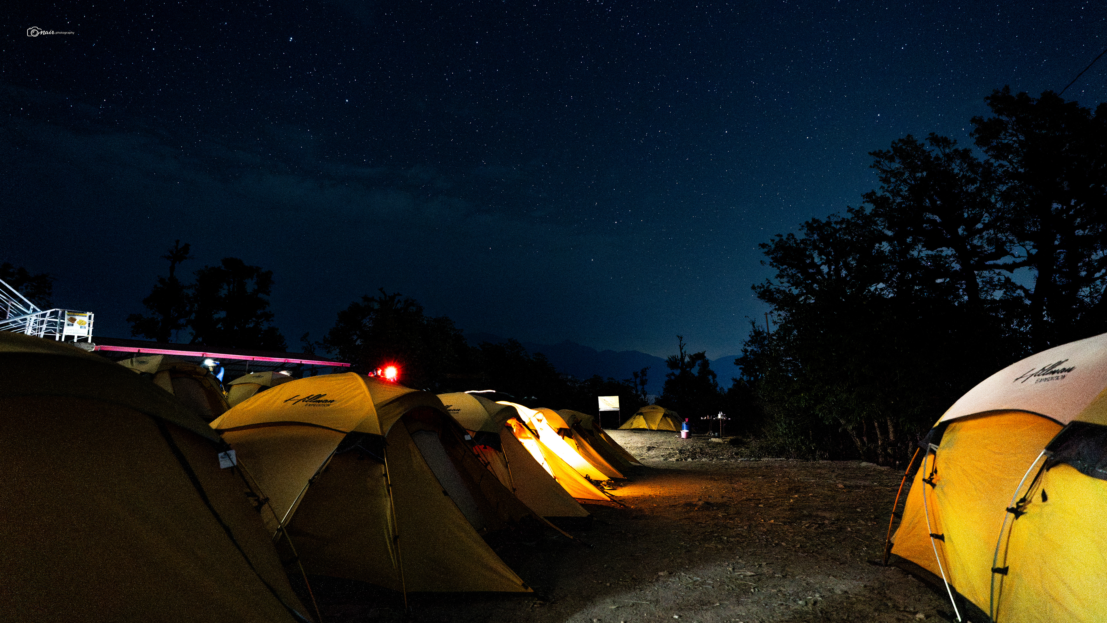
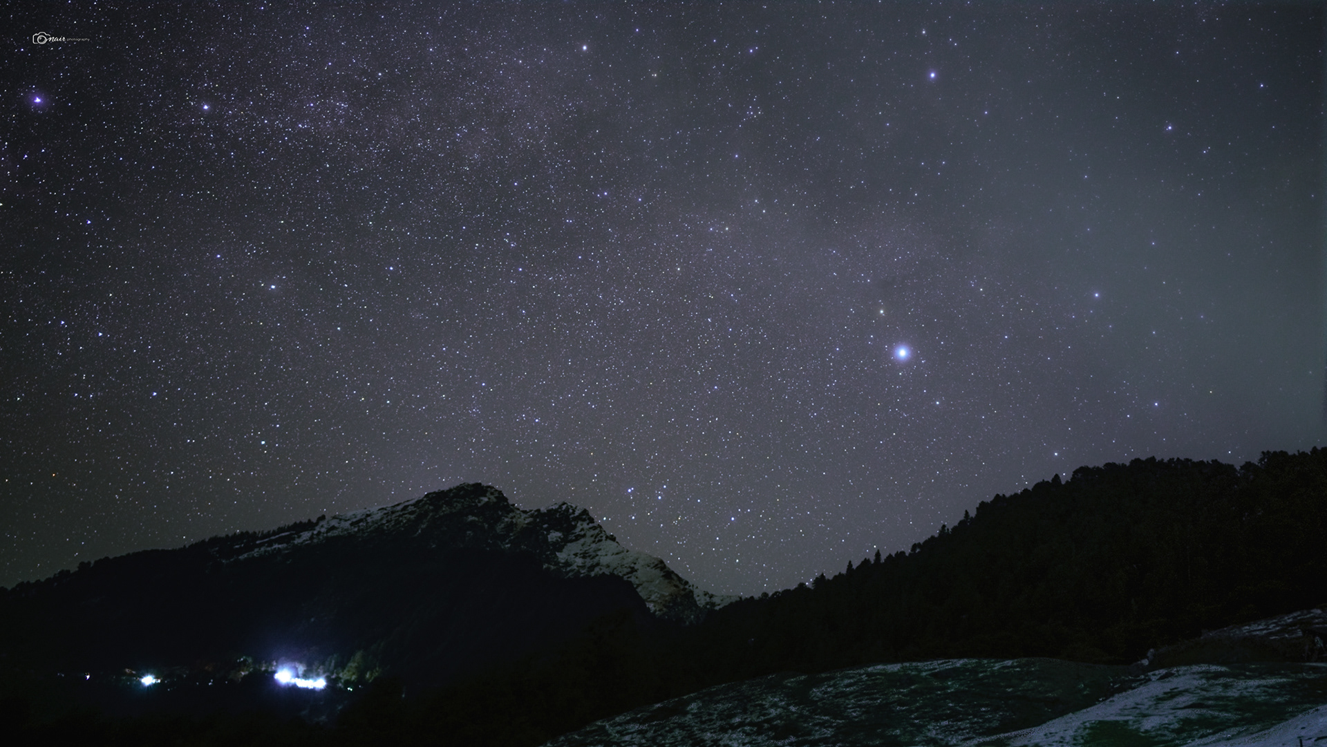
Oh and one more thing before we move on. Sari has one of the least light polluted skies you will ever find. With no city glow for miles and a new moon hiding in the darkness, the night sky here puts on a show that will leave you speechless. If you are into astrophotography, this place is an absolute paradise. Every star, every constellation, the milky way itself, all of it just pours across the sky like someone spilled a jar of glitter over the mountains. We will see some of my clicks from that night soon, but for now just imagine lying on a cold mountain night, looking straight up, and seeing more stars than you ever thought existed. This one is from Sari, and trust me, the sky did not disappoint.

Now before we start walking, let me tell you what we are actually here to do.
You see, most people who want to reach Chandrashila take the easy route. They drive straight to Chopta and do a quick 4 hour trek up and back in a single day.
But as our guide put it perfectly, we are not tourists, we are trekkers. So we took the 6 day route. Day one was the long drive from Rishikesh to Sari.
Day two, we trek from Sari to Deoriatal.
Day three takes us from Deoriatal to Syalmi via Rohini Bugyal.
Day four, we push from Syalmi to Baniya Kund.
Day five is the big one, Baniya Kund all the way up to Chandrashila summit at 12,083 feet via the sacred Tungnath temple, and then a drive back down from Chopta to Sari.
Day six, the drive back to Rishikesh.
Six days through forests, meadows, ancient temples, and some of the highest peaks you will ever stand on. That is the plan.
So now that you know where we are headed, lace up your boots because this is where the real adventure begins. The trek starts right from the heart of Sari village. You climb a few stone stairs, wave goodbye to the village life behind you, and step onto a well defined rocky trail that starts climbing almost immediately.
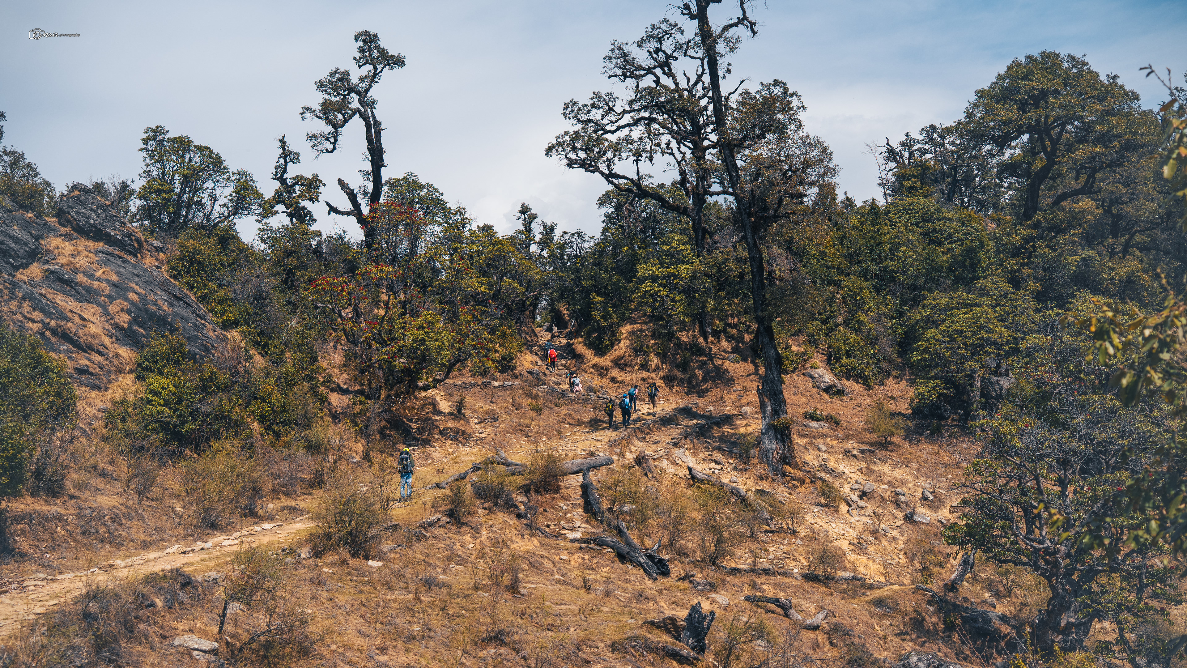
It is steep, I will not lie, but the views make up for every heavy breath. As you look back, the vast farmlands of Sari spread out below you like a green patchwork quilt. About 45 minutes in, the trail eases up a bit and the forest opens. This is where things get exciting because if you look across the valley, you can actually spot the summit of Chandrashila and sitting just below it, the holy Tungnath temple. You might need binoculars to catch it, but knowing it is right there watching over you is something else.
Day 2
Trek Distance: 4.1 km | Trek Duration: 2.5 hours | Altitude Gain: 6,560 ft to 7,810 ft
The trail then winds up along a mountain ridge and after about 20 to 30 minutes of steady climbing, you reach a beautiful open meadow called Ropini Bugyal. Stop here. Breathe. Turn around. Because standing right behind you is the magnificent Mt Chaukhamba in all its glory. This is your first real face to face moment with the high Himalayas on this trek, and trust me, no photo can do it justice. From Ropini, the trail dips into a gorgeous forest of rhododendron and maple trees. If you are here in the right season, these trees are on fire with red and pink blooms. Ten more minutes of walking brings you to a second viewpoint at around 7,434 feet where Sari has completely disappeared behind you and the Ukhimath valley opens up on the other side.
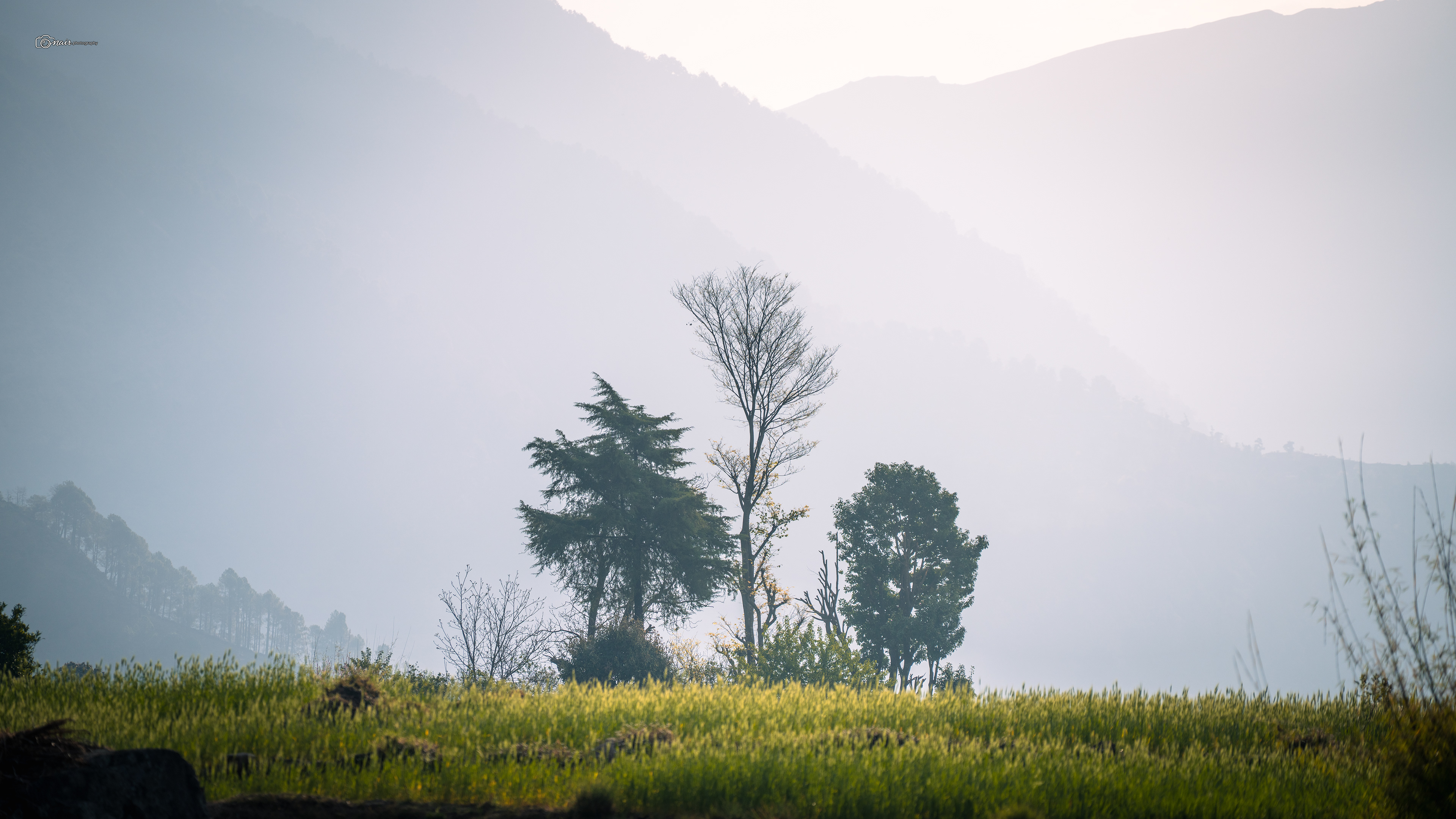
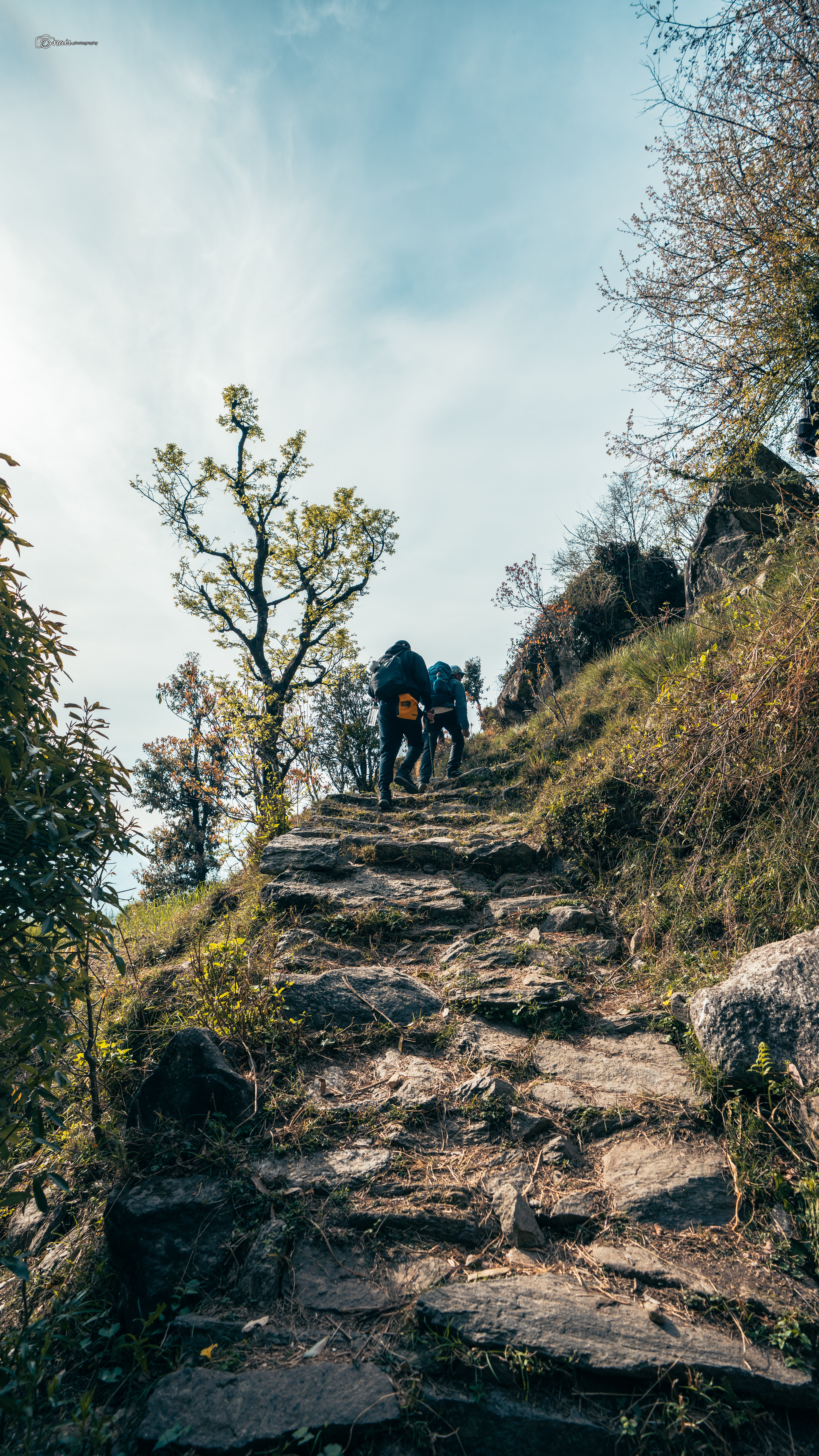
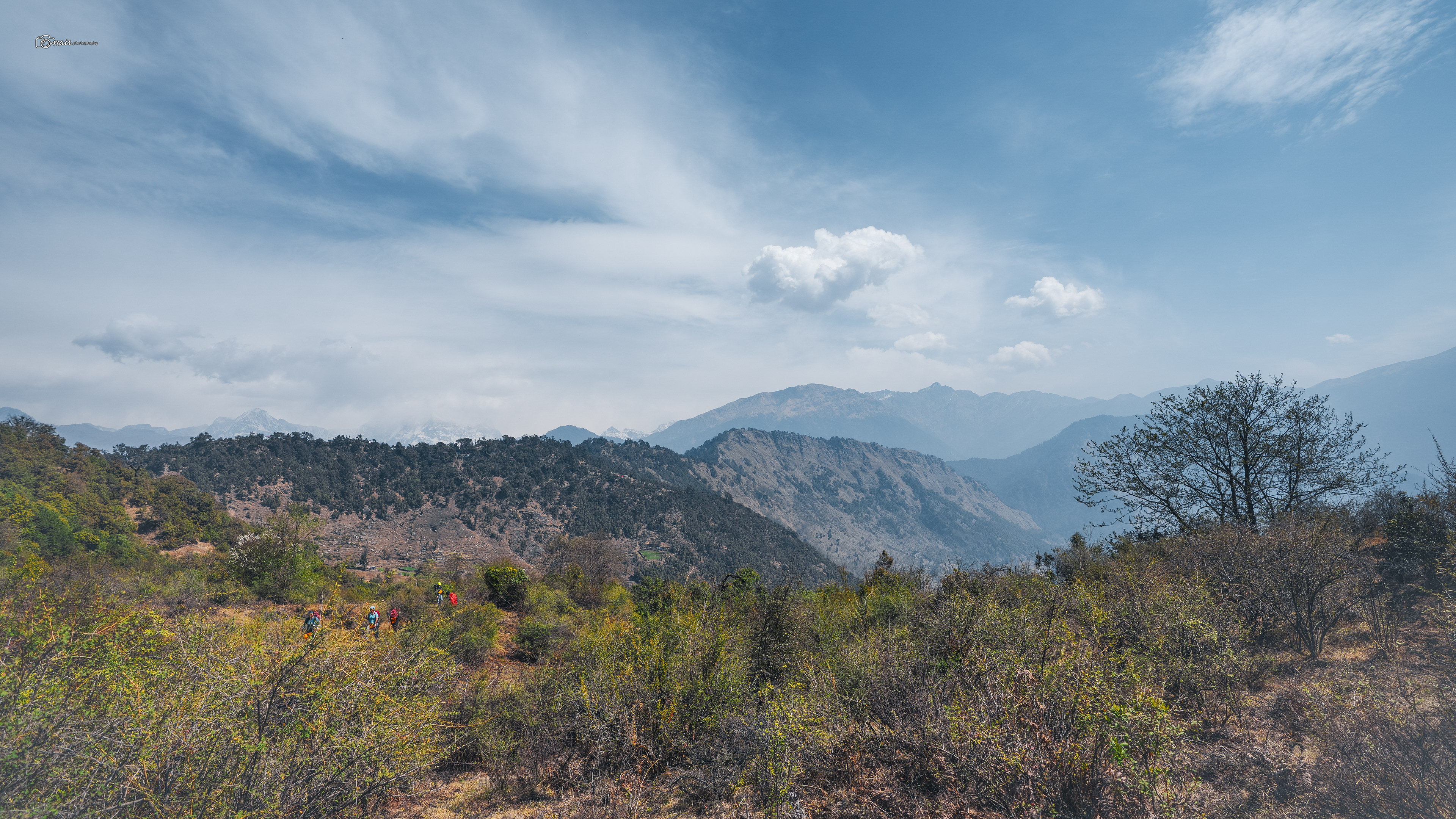
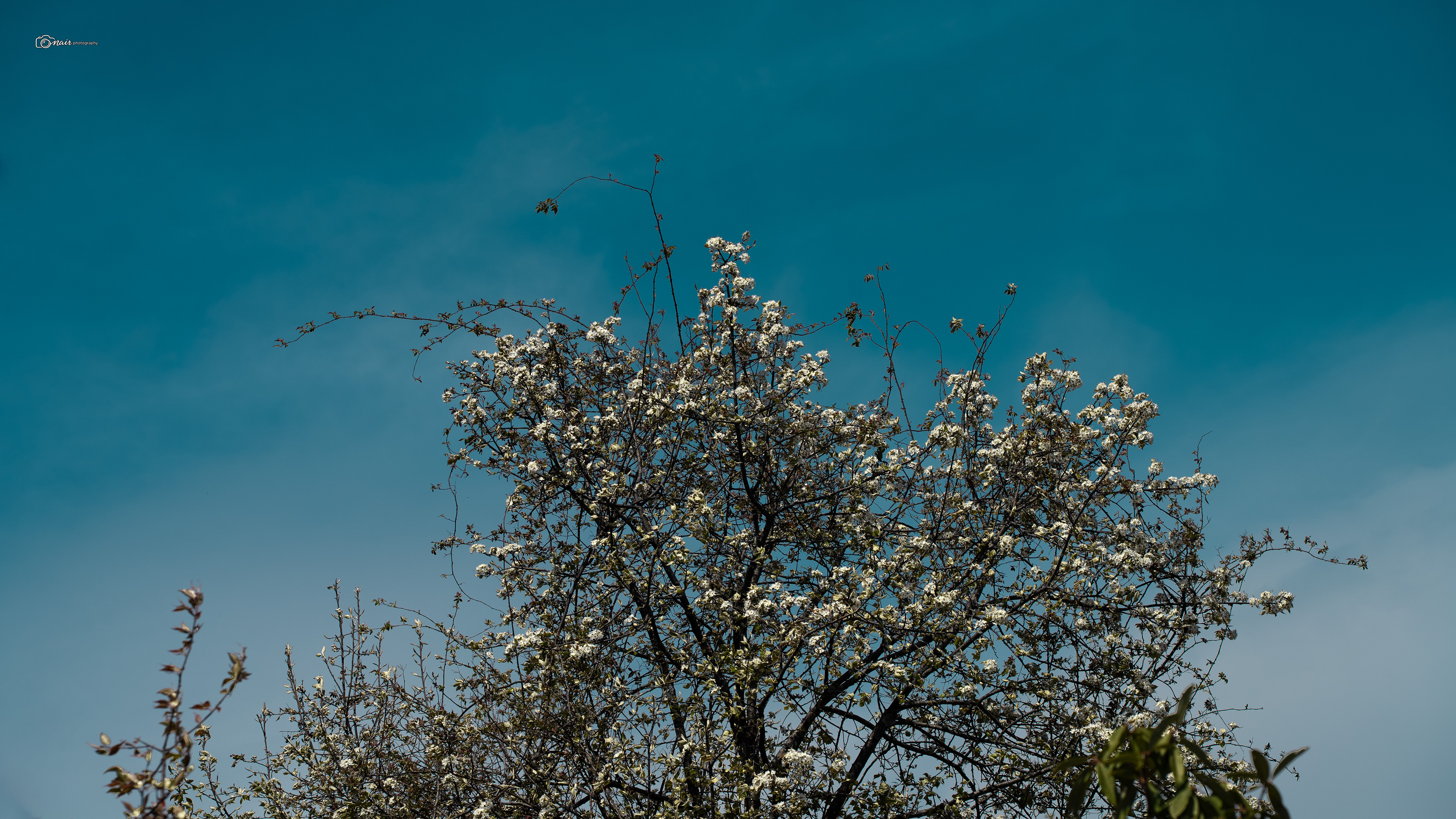
After a small rest at a mini barren meadow, we started our ascent again towards camp one. And this is where I learned a lesson that stuck with me long after the trek ended. Our guides Mohit and Naveen kept repeating one word. Matu Matu. In the local tongue, it simply means take it slow, go gently. Do not rush the mountains, they said. Take one step at a time. Do not ever race to be the first one up there. As long as you maintain your own pace, that is all the mountain asks of you. One step at a time. And you know what, in this busy world where everyone is rushing to get somewhere, it felt really good to be slow for once.
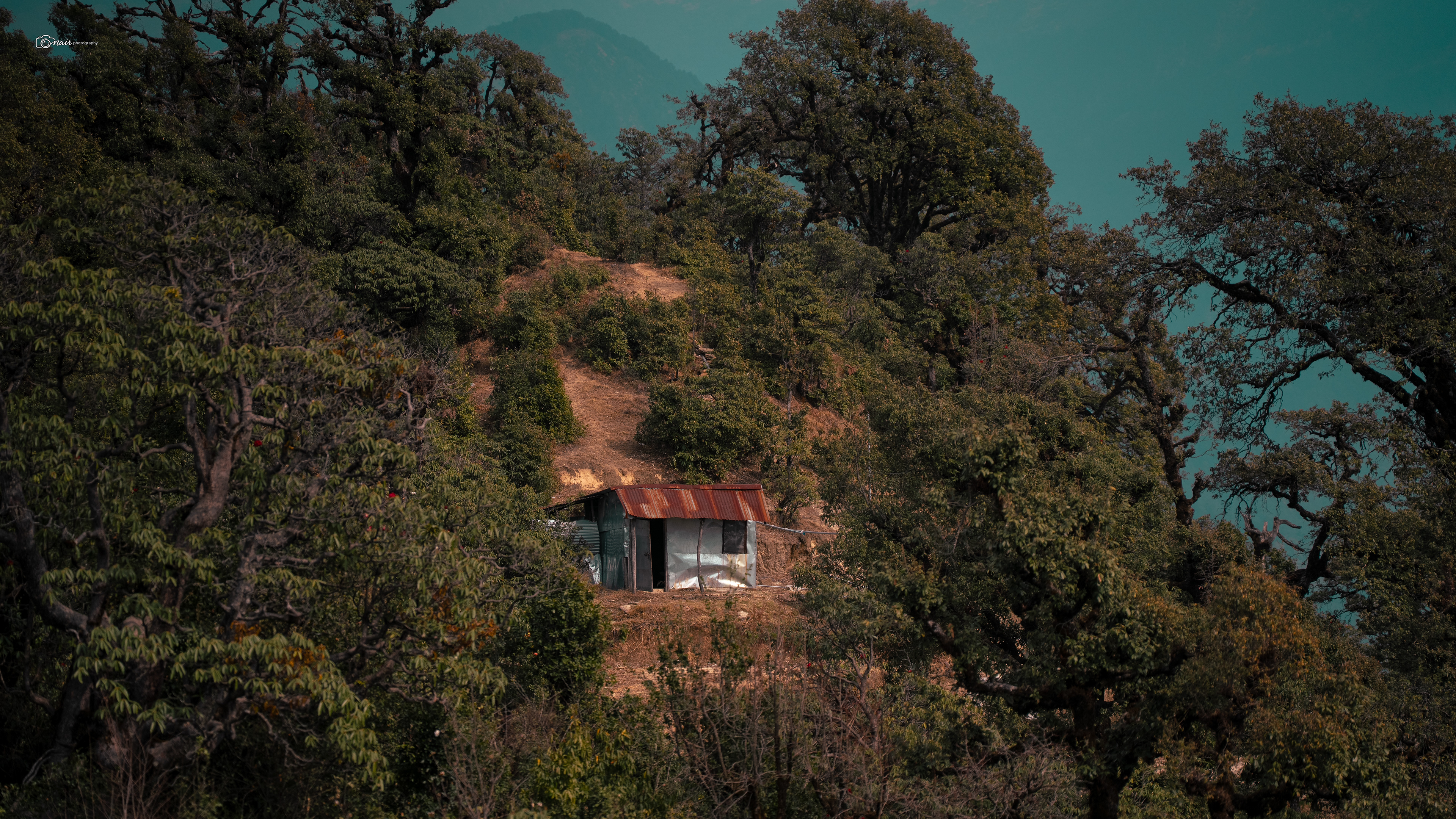
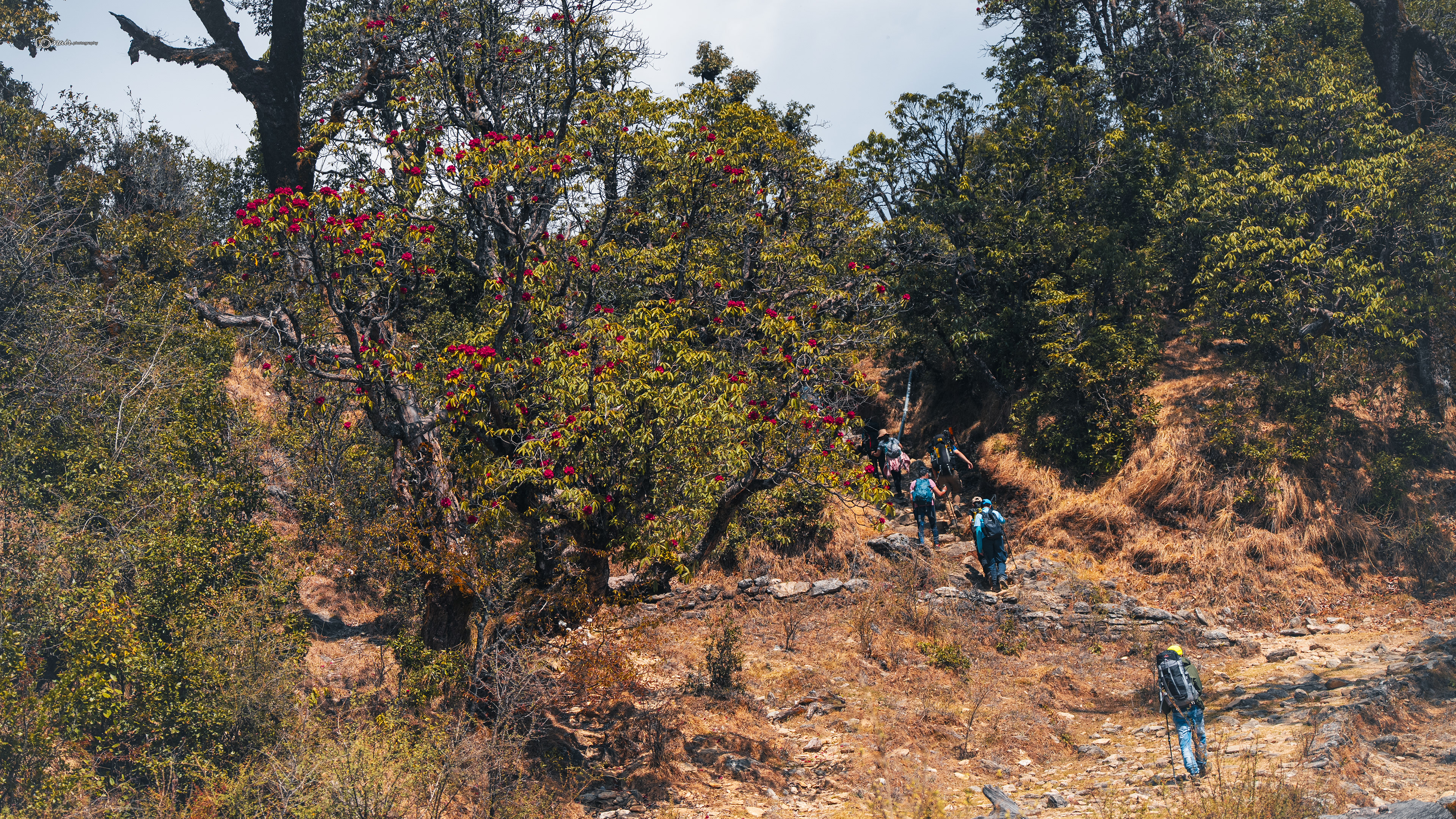
And then, just when your legs start to question your life choices, the trail dips slightly downhill and the trees begin to part ways.
My eyes were glued to the ground at this point, tired, watching every step, just trying not to trip. But then something shimmered in the distance. I looked up. And there it was.
Deoriatal.
A crystal clear blue lake sitting quietly in the middle of a dense forest meadow, surrounded by tall tree lines on every side like a painting that someone forgot to frame. My breath stopped for a second. And then my eyes lifted just slightly above the lake and I saw it. The mighty Chaukhamba massif, all four peaks, perfectly reflected on the still water like a mirror placed there by the gods themselves. Every bit of body pain, every heavy breath, every moment I questioned why I signed up for this, all of it just washed away in an instant. The world outside was still moving, people were rushing, phones were buzzing, deadlines were piling up somewhere. But I was just sitting there. Speechless. Silent. Watching the peaks turn gold as the sun began to set behind them, and the lake caught every last drop of that golden light. I do not know how long I sat there. I did not care. Something shifted inside me at that moment.
The trek completely changed from that point. This was no longer just a walk in the mountains.
This was something else entirely.
This is where we camp tonight, and honestly, you will not want to be anywhere else in the world.
This was something else entirely.
This is where we camp tonight, and honestly, you will not want to be anywhere else in the world.
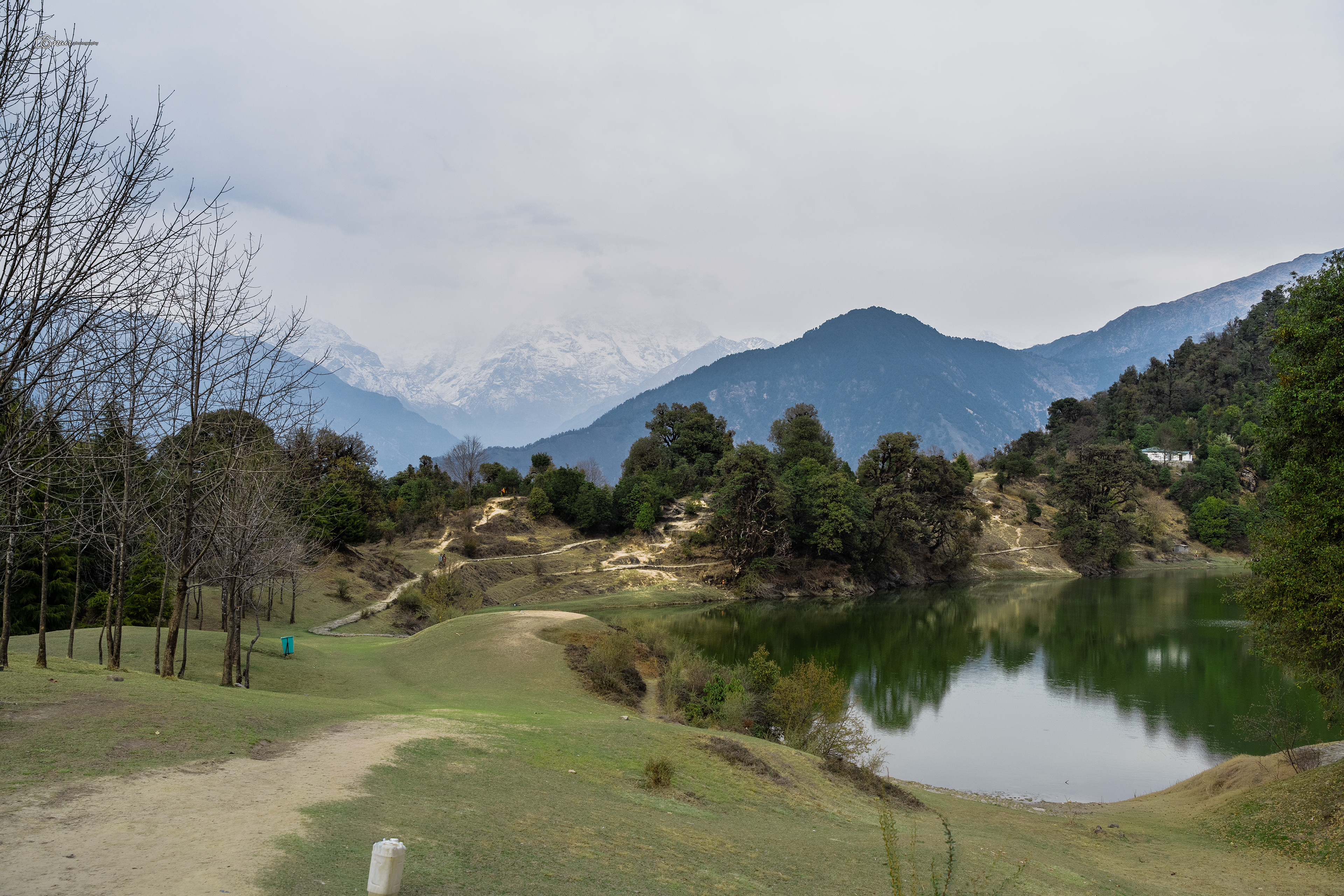
Mount Chaukhamba, Deoriatal Lake
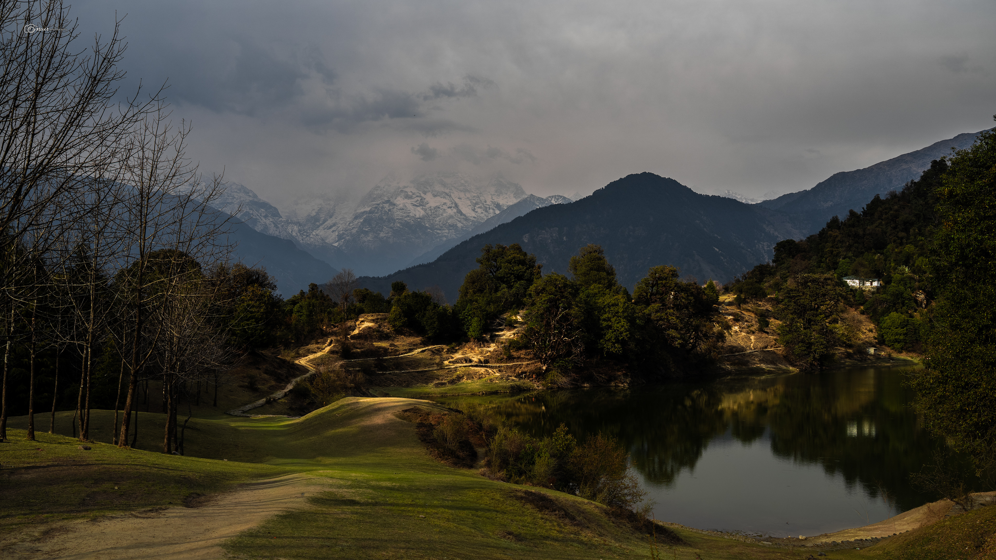
Mount Chaukhamba, Deoriatal Lake
Now that you are standing at the edge of this beautiful emerald lake, let me tell you why this place is far more than just a pretty view. Remember when I told you that every corner of Uttarakhand has a story tied to the Pandavas? Well, here it is. After the great war of Kurukshetra, the five Pandava brothers and Draupadi were wandering through these very mountains during their exile.
The story goes that Draupadi was so thirsty she refused to move another inch until someone brought her water. Yudhishthira sent his brothers one by one to find some. They found this very lake, but the moment they tried to drink from it, a Yaksha disguised as a crane stopped them and said, "This water will turn to poison if you drink it without answering my questions." One by one, each brother ignored the warning, drank the water, and dropped dead on the spot. When Yudhishthira finally arrived and saw his brothers lying lifeless, he was furious. But unlike his brothers, he chose patience. He agreed to face the Yaksha. And if you have grown up watching the Mahabharata being aired on Doordarshan or read the book, you probably remember what came next.
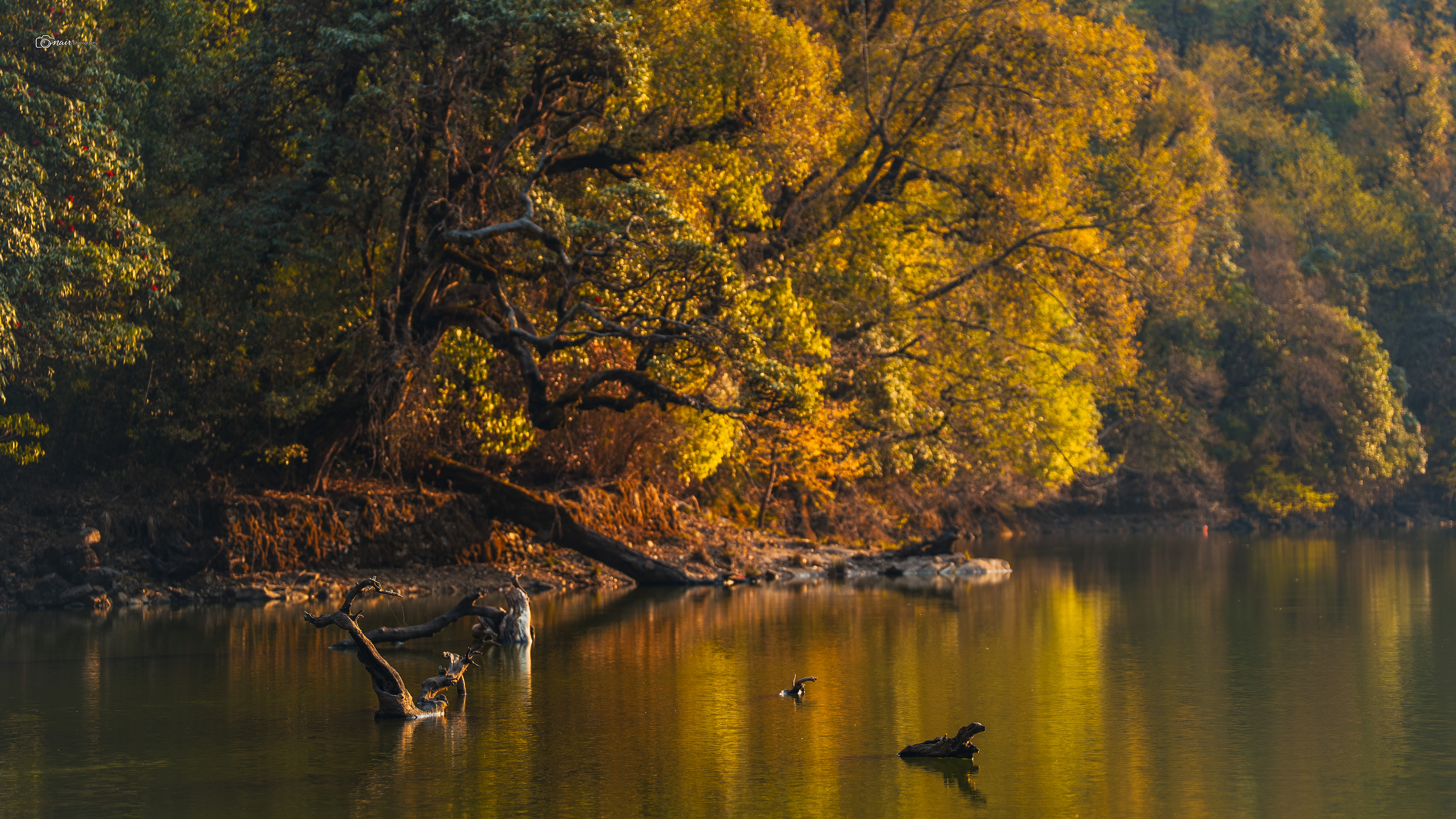
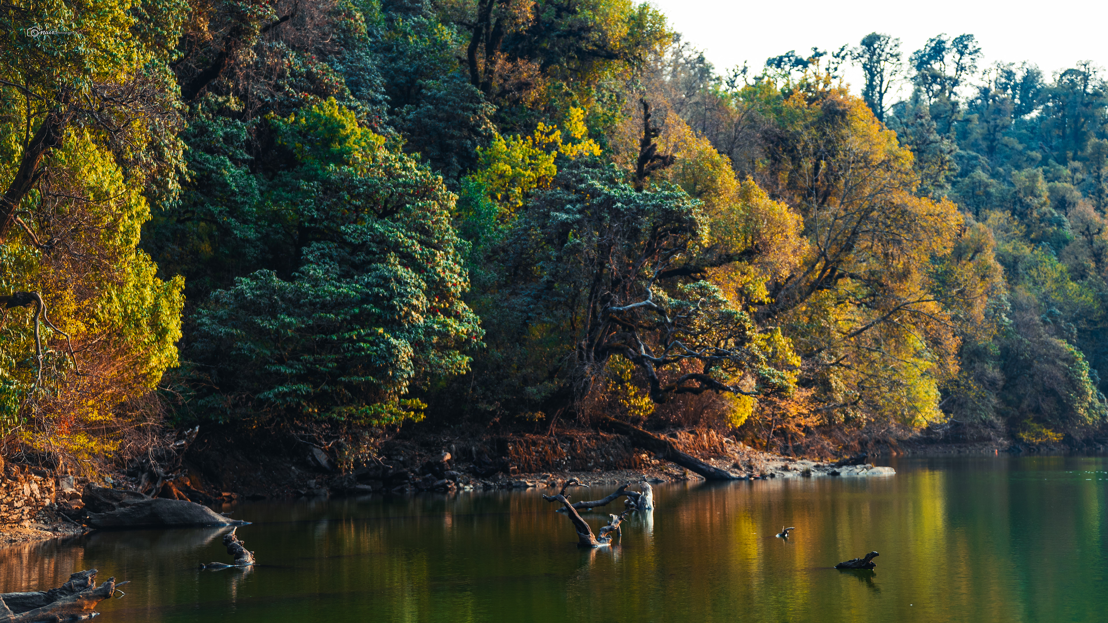
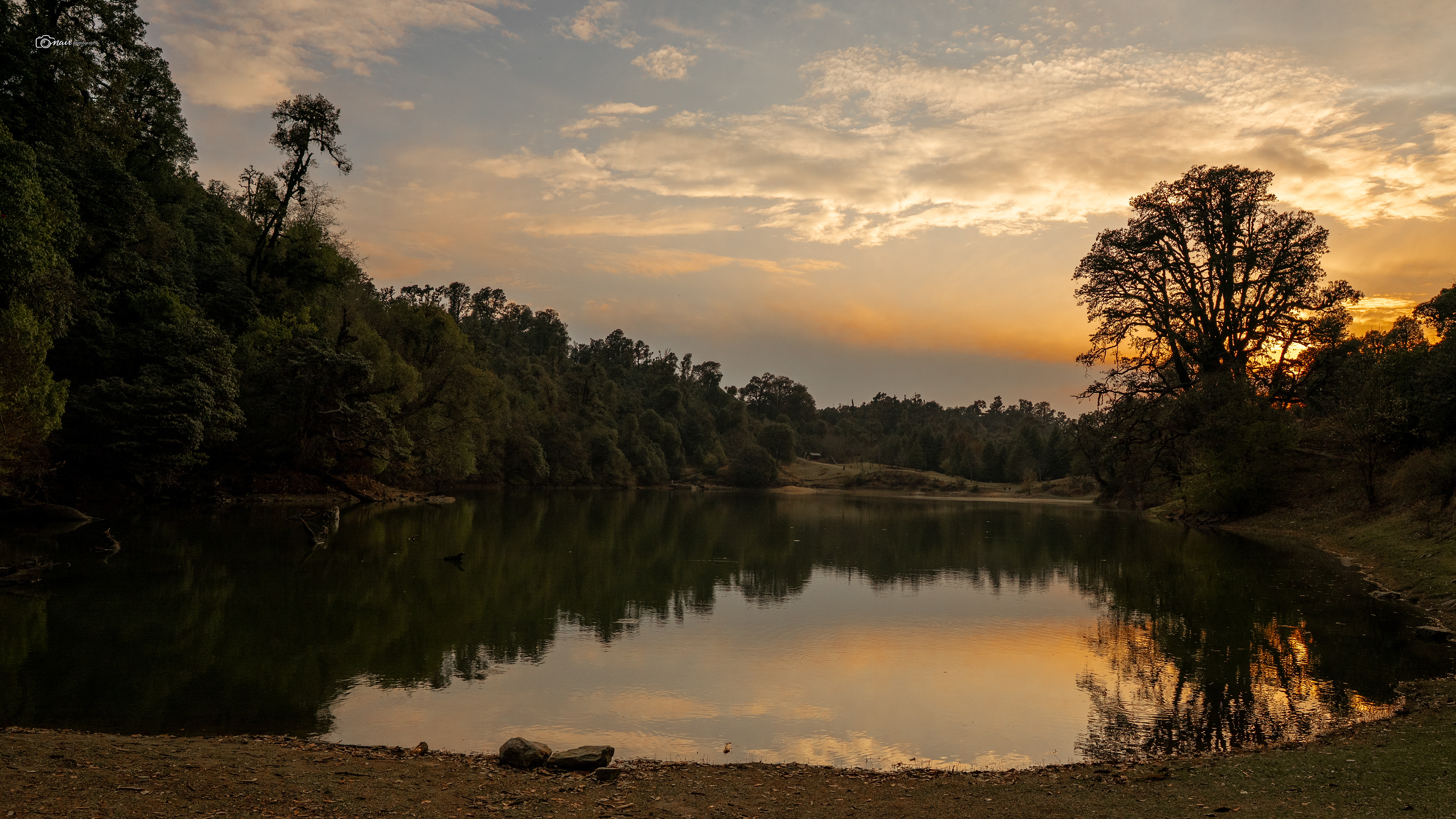
The Yaksha threw 124 questions at Yudhishthira. Questions about dharma, about life, about truth. And Yudhishthira answered every single one. Pleased, the Yaksha offered to revive just one brother. Now think about this. You have four dead brothers and you can only save one. Most people would pick their strongest ally. But Yudhishthira chose Nakula. Why? Because Yudhishthira himself was a son of Kunti, and he wanted a son of his father's second wife Madri to also live. He chose fairness over personal need. He chose justice over survival. That answer moved the Yaksha so deeply that he revealed his true form. He was Yama, the god of death and dharma himself, and he was also Yudhishthira's father. Yama revived all the brothers right there on the banks of this lake. Even today, elderly priests in the nearby villages will point to five large stones on the eastern bank and tell you those are the seats where the five Pandavas once sat. You are literally standing on a page of the Mahabharata.
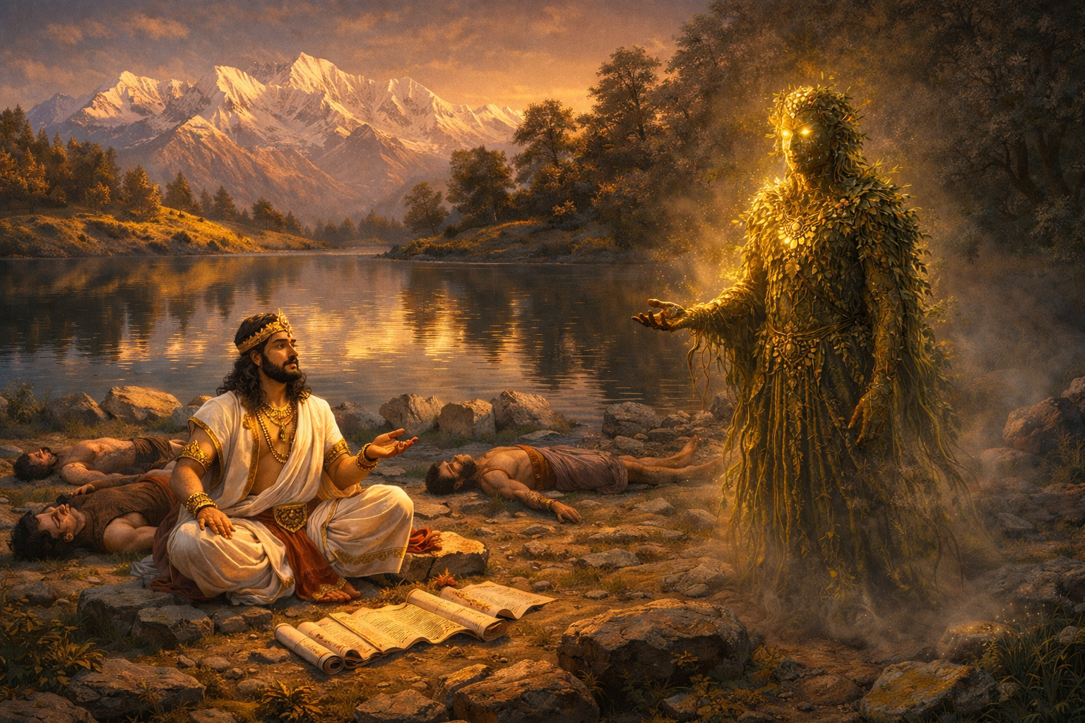
AI Generated
But the Mahabharata is not the only story this lake holds. There is an old tale from the colonial days about a British forest officer named Captain H. R. Hutchinson who camped at Deoriatal in 1923 while surveying timber lines. The locals warned him not to light a campfire after sunset. They told him the devtas do not like smoke near their mirror. The captain laughed, lit a huge bonfire, and even pulled out his new Leica camera to photograph the reflections on the lake. That night, his Garhwali guide woke up to find the captain missing from his tent. They found his body the next morning near the water's edge, eyes wide open, staring into the lake with an expression of absolute terror frozen on his face. His camera was perfectly intact but every single negative was completely black, as if light itself had refused to be captured. And since then, many campers over the years have reported seeing a man in khaki shorts and a pith helmet walking along the lake at 3 in the morning, always stopping at the exact spot where Captain Hutchinson died, staring silently into the water. Now here is the thing you need to understand. In these mountains, the locals do not use the word ghost. That word does not exist in their world. If something moves in the dark, if something feels strange, they simply say the devtas are here, let us not disturb them. For them, the mountains, the lake, the trees, all of it is sacred. All of it is alive. They protect nature by calling it god. And they believe with all their heart that if you disturb nature, nature punishes you back. That is a story worth remembering long after you leave this place.
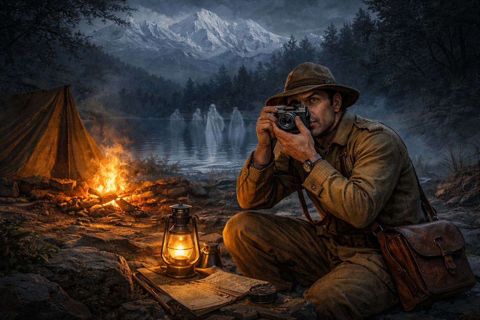
AI Generated
So as you sit by Deoriatal and watch the Chaukhamba peaks turn gold in the last light of the day, remember one thing the locals always say. Take nothing but photographs, leave nothing but footprints, and never ever throw a stone into the lake to see the ripples.
The devtas are watching.
And if you wake up early enough and sit by the water at dawn when the world is perfectly still, listen carefully.
You might just hear Yudhishthira answering the Yaksha, or the faint echo of a story that this lake has been holding safe for thousands of years.
And if you wake up early enough and sit by the water at dawn when the world is perfectly still, listen carefully.
You might just hear Yudhishthira answering the Yaksha, or the faint echo of a story that this lake has been holding safe for thousands of years.
Deoriatal keeps its stories alive.
Always has. Always will.
Always has. Always will.
Day 3
The morning started at the banks of Deoriatal. One last look at that mirror lake and we turned our backs to it, heading southeast towards Jhandi Top. This was going to be the longest day of the trek, close to 12 kilometers of constant ascent and descent. The trail began through a dense reserved forest, and within minutes the air changed. There was a thick musky smell hanging in the trees. Our guide told us this was musk deer territory, and we were walking right through their home. The forest was alive with sounds and shadows. Now and then, small shrines with bright yellow flags tied to them appeared along the trail, placed by locals and trekkers as landmarks to make sure you are on the right path. And here is something our guides made very clear. Keep your eyes open and stay alert, because this forest is home to foxes and leopards. We were guests here, not the other way around. As we kept climbing along the ridge of the mountain, the dense green forest slowly began to thin out and turn dry. On our left, thick forest rich with flora and fauna. On our right, a straight 500 meter drop into the valley below. One wrong step and down you go. That kind of trail keeps you honest.
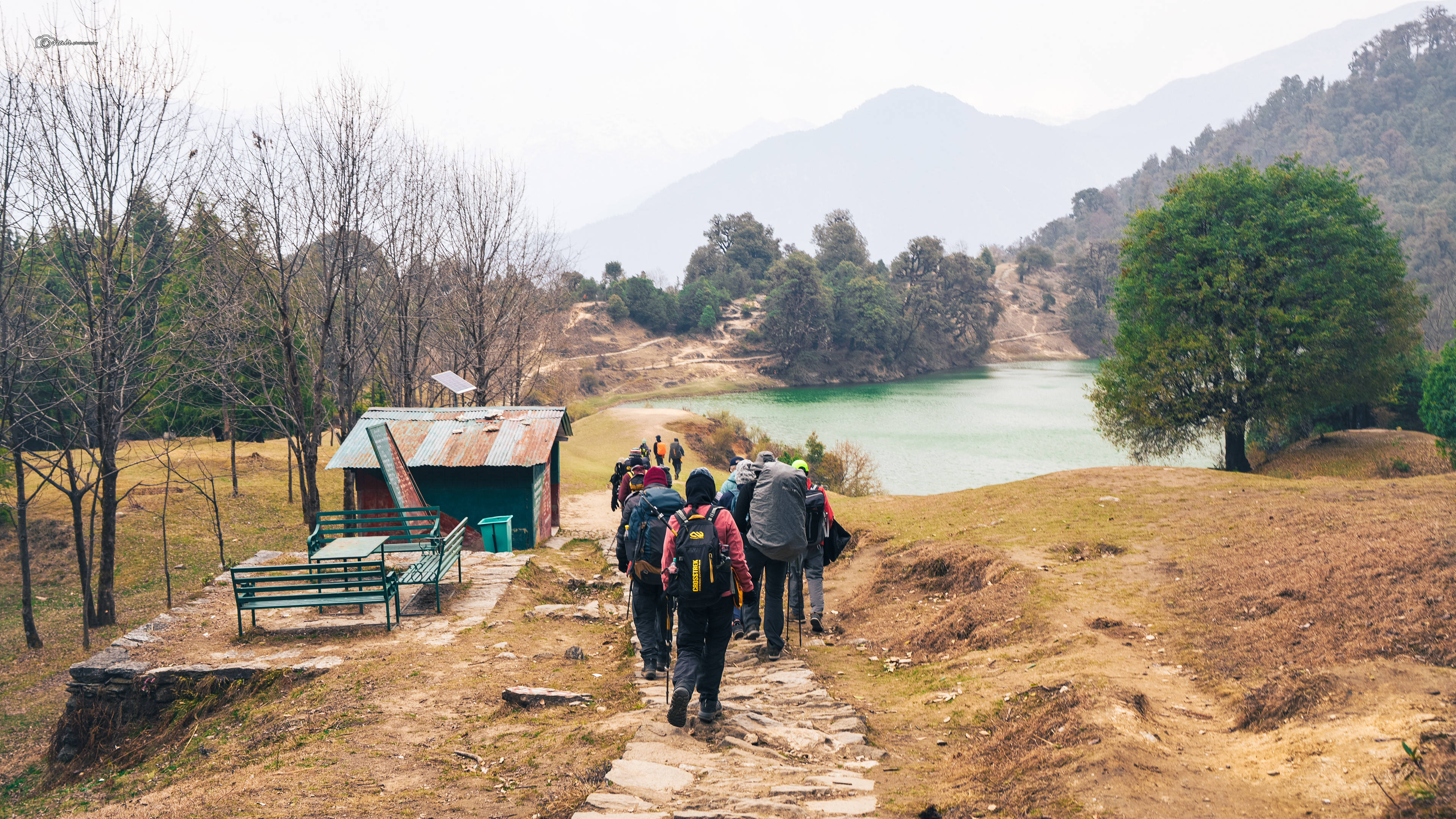
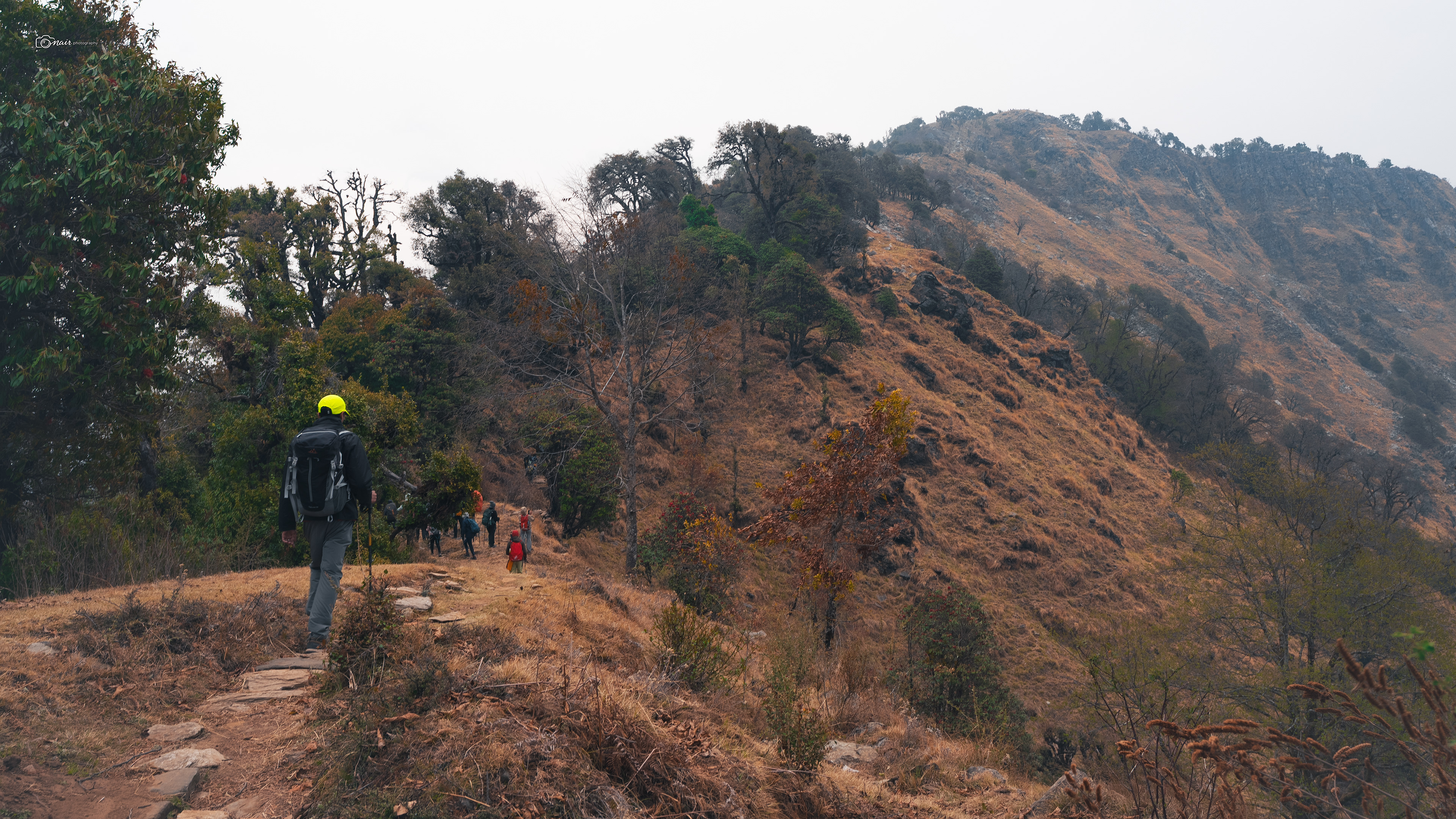
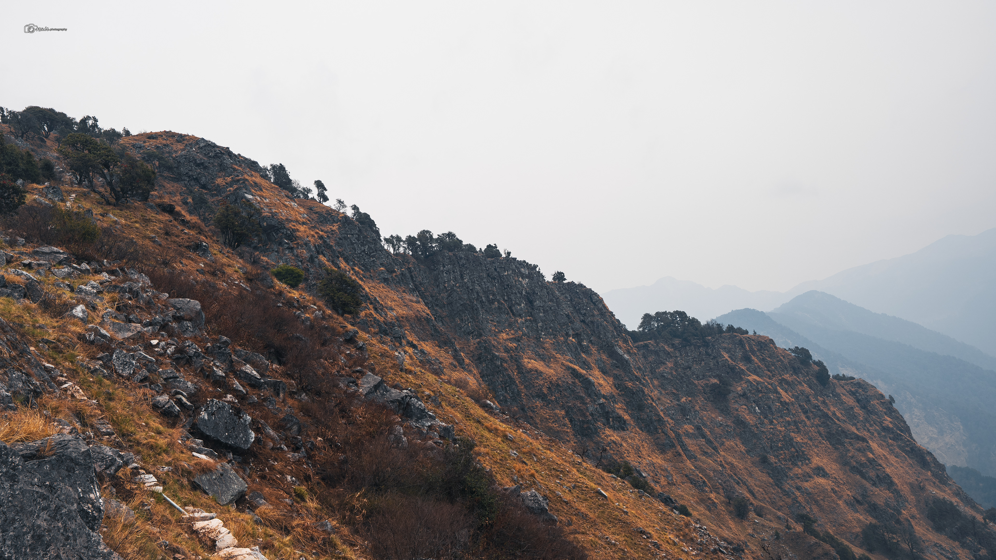
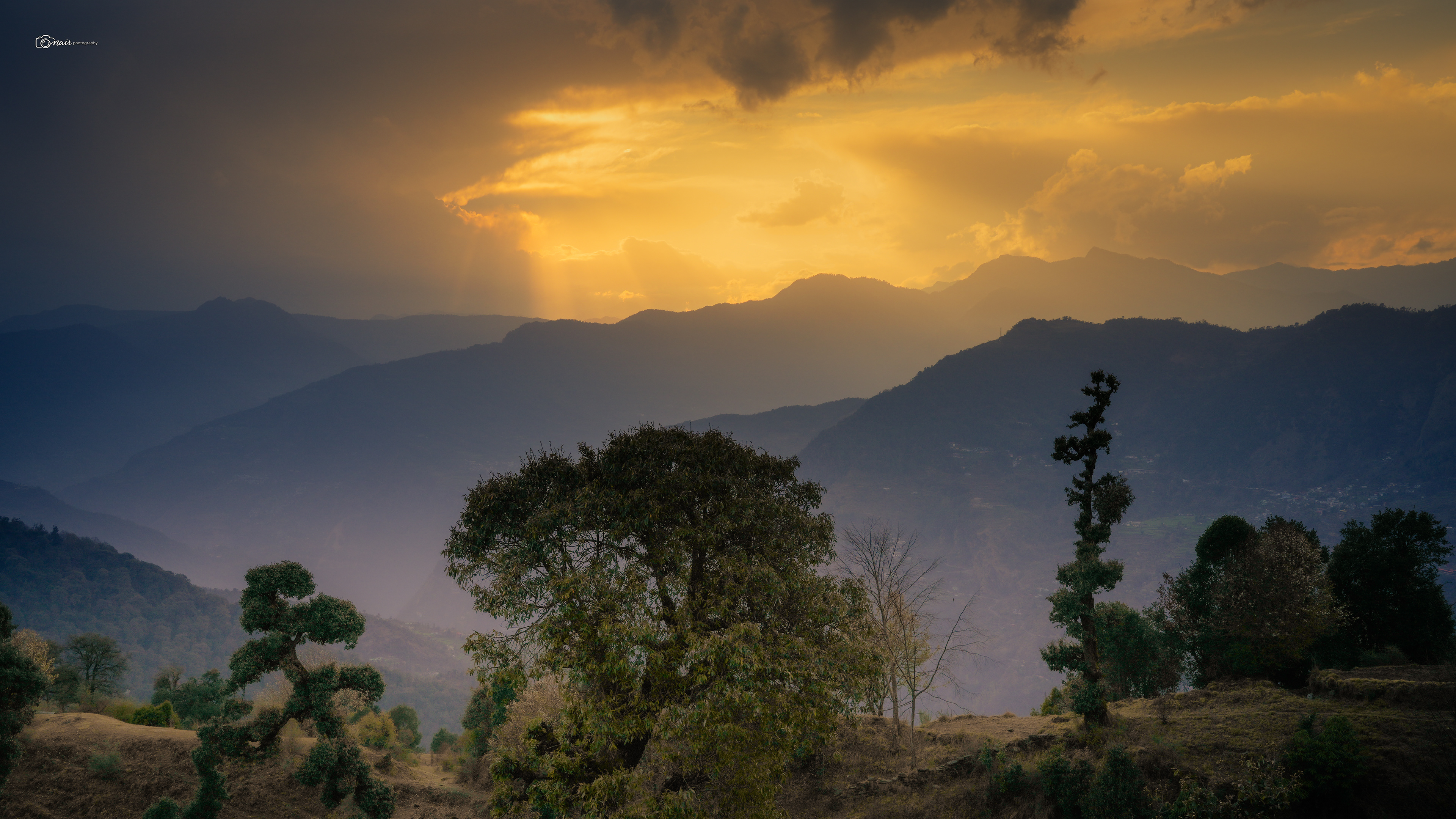
Now here is something nobody warns you about in the mountains. You cannot trust the weather. Not even for five minutes. Since the height was increasing and the tree lines were getting thinner, every small change hit hard. One gust of wind could turn the whole path ice cold, and the very next moment the sun would break through and make you sweat. This was the day we experienced every possible weather the mountains had to offer. It started windy at the lake, turned cold as we climbed the ridge, and then just as we thought we had settled into a rhythm, it started to rain.
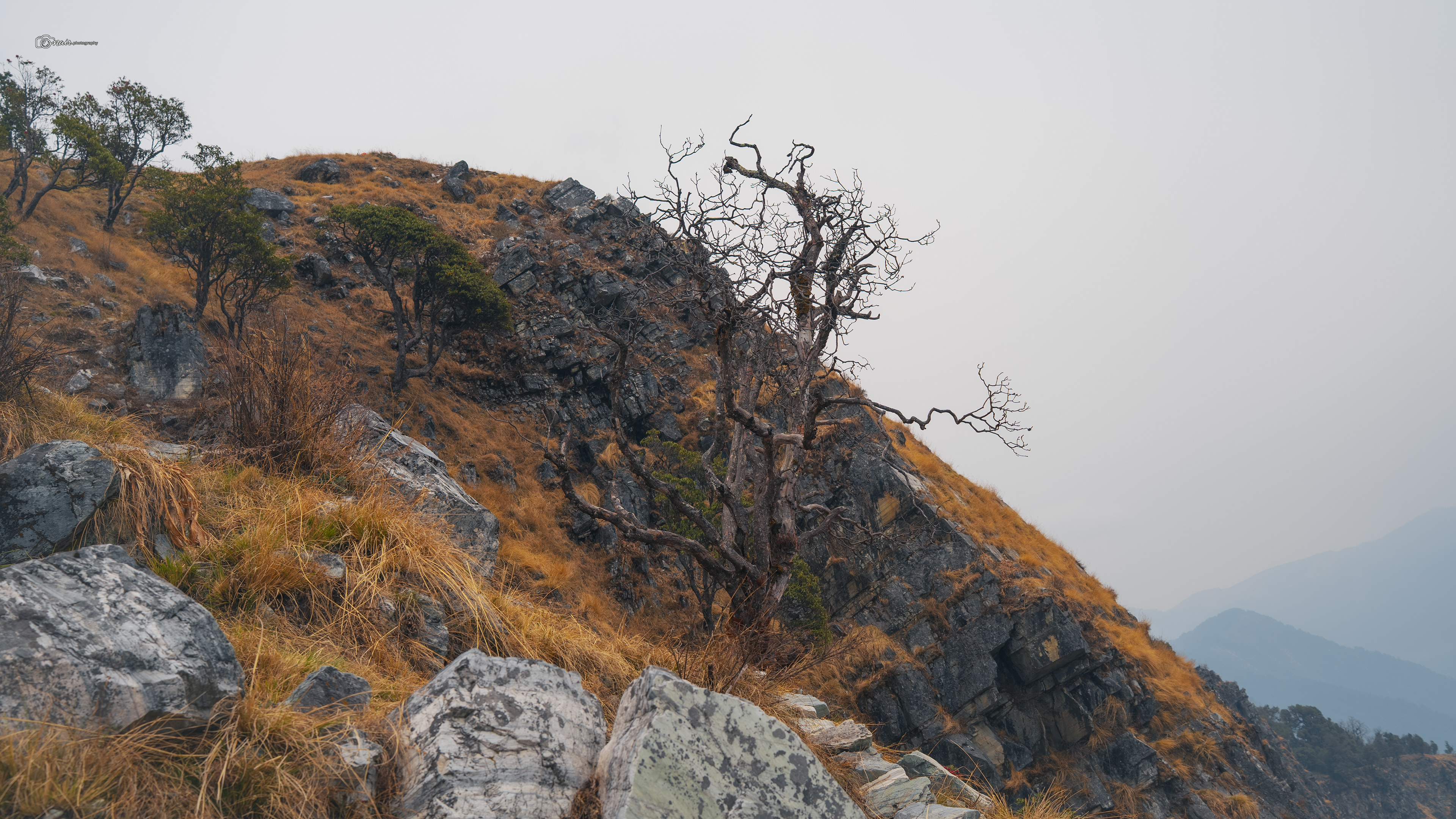
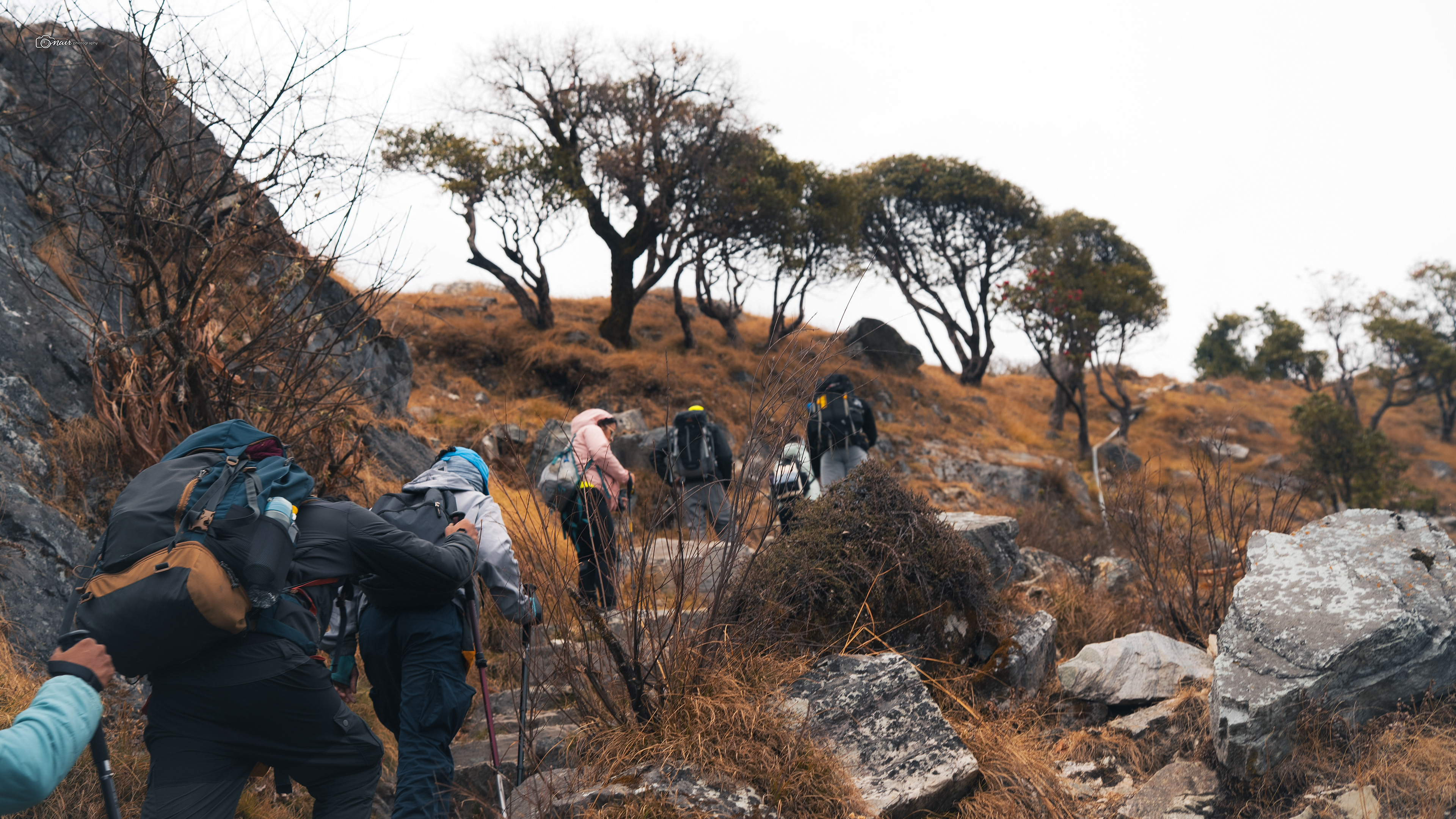
We pulled out our raincoats, and I have never been more grateful for packing mine. Pushing forward with 6 plus kilograms of camera gear on my back in the rain was no joke. I could barely take any photos this day. The mountain had other plans for us.
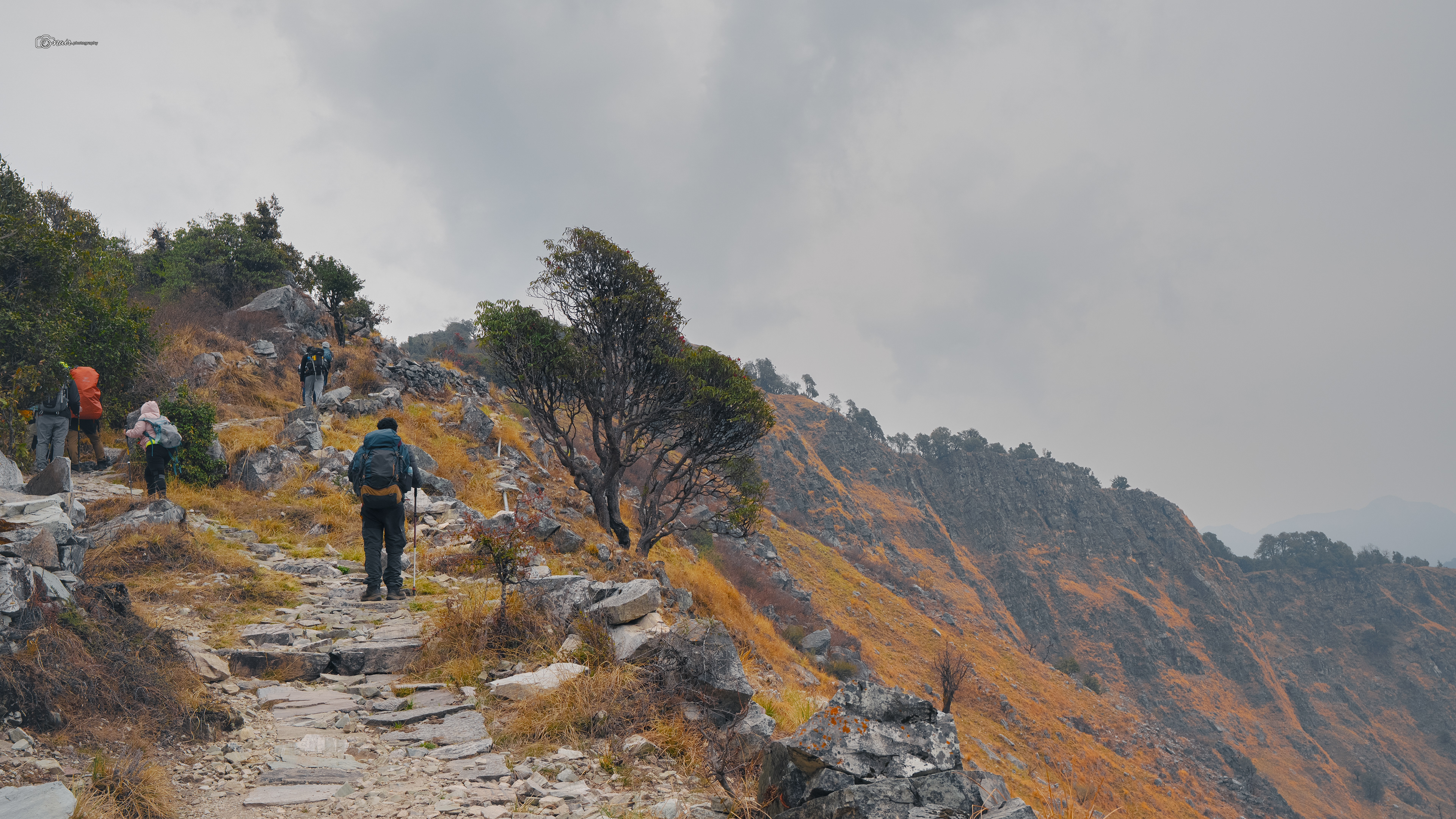
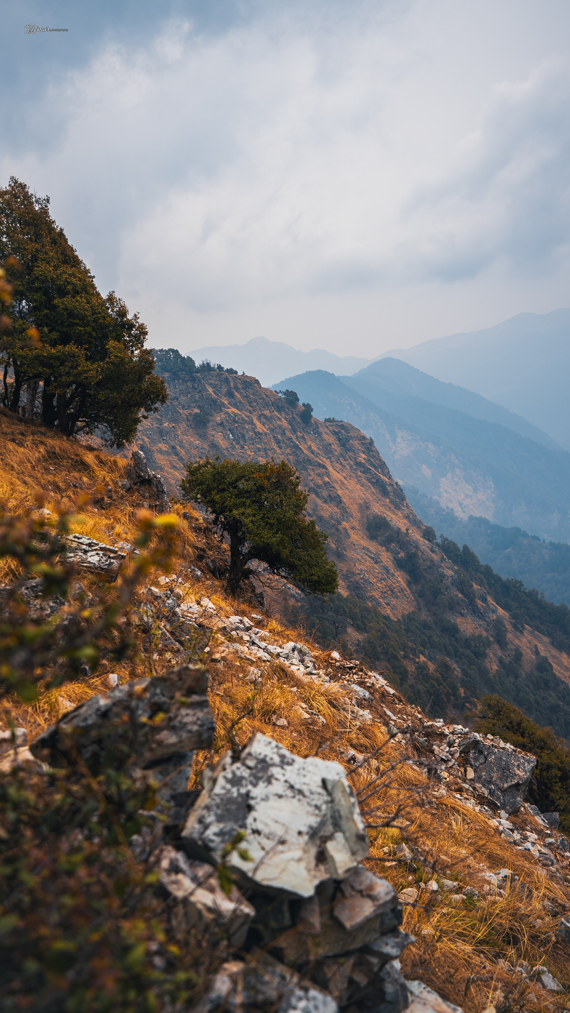
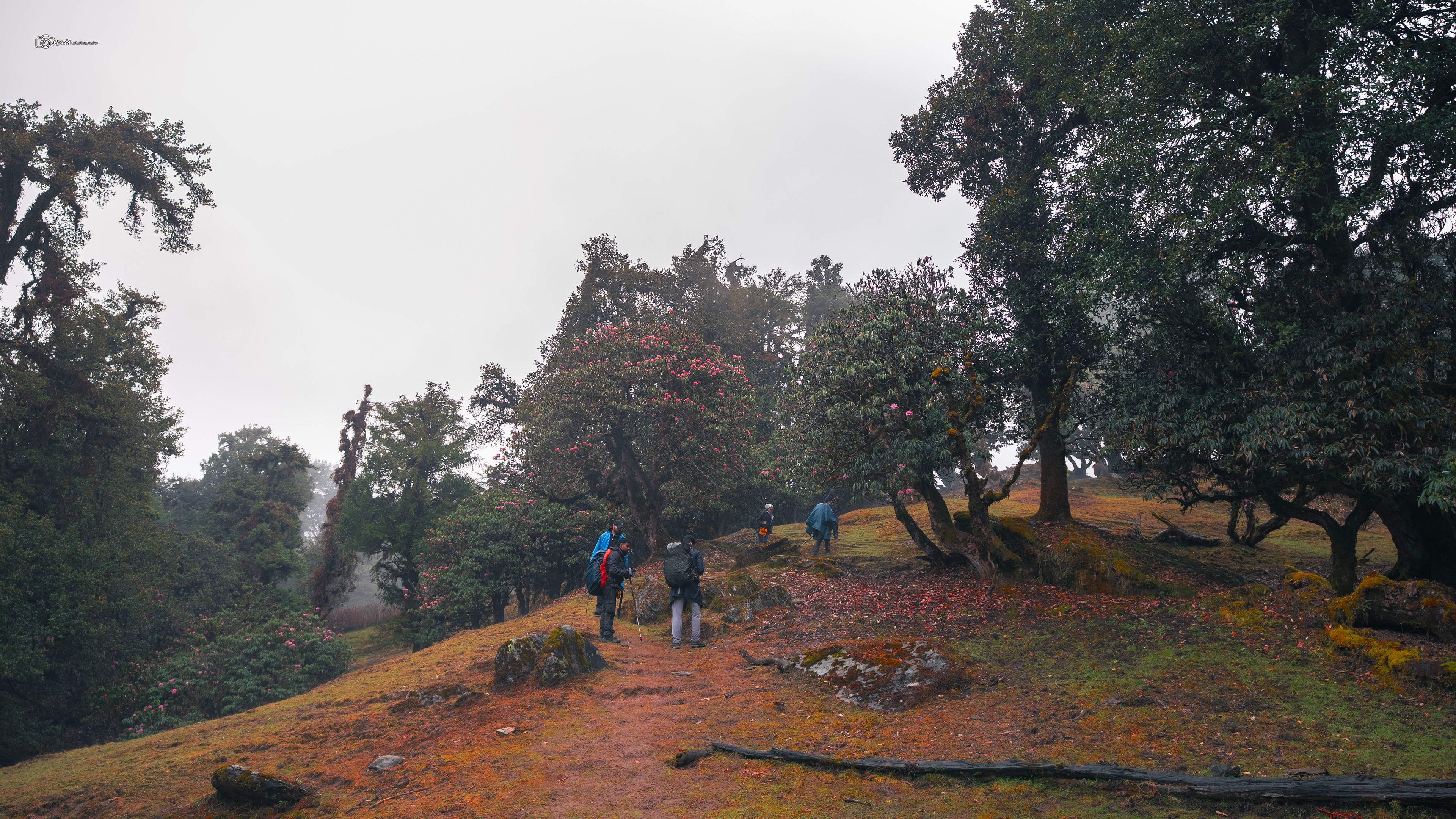
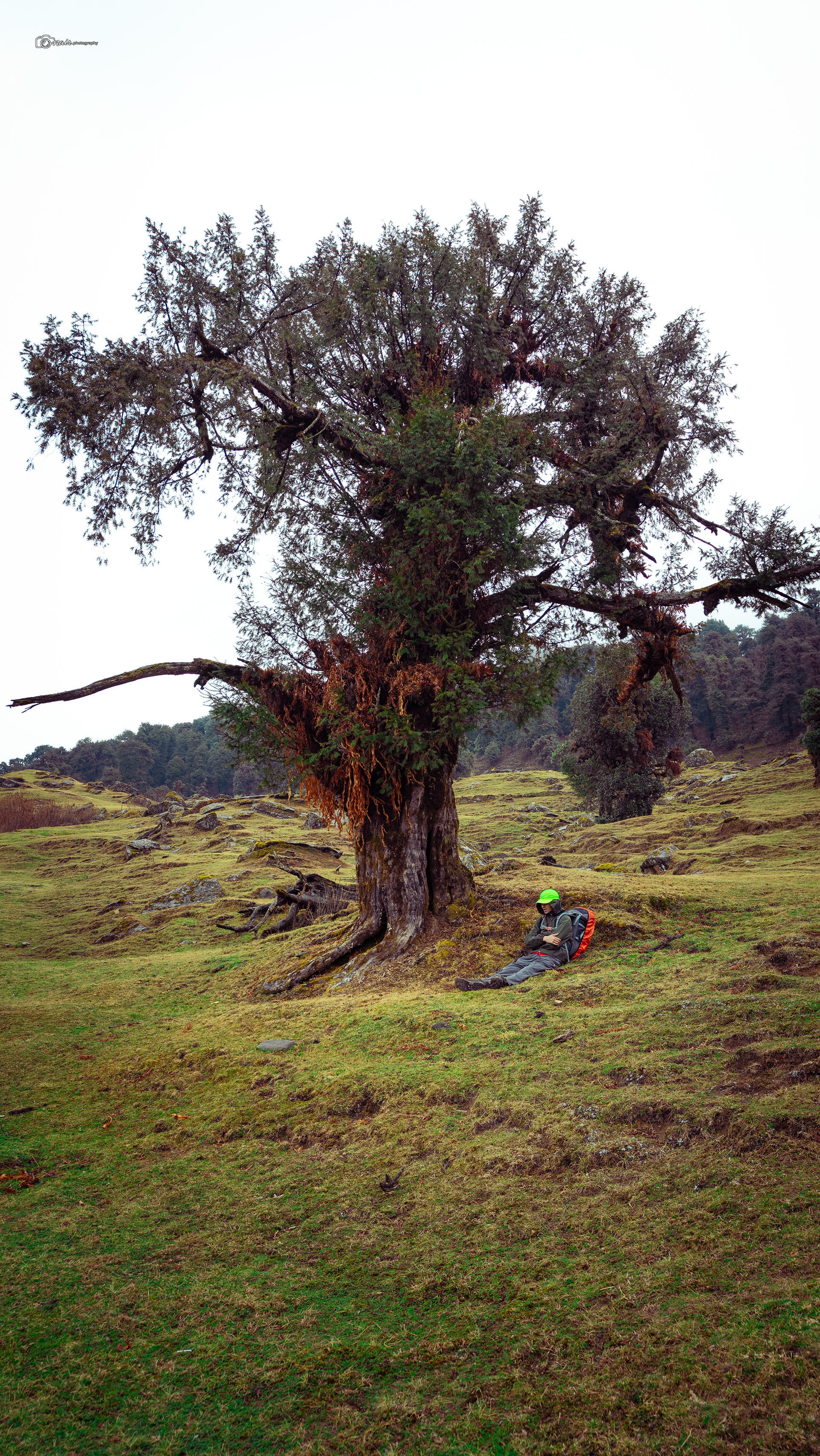
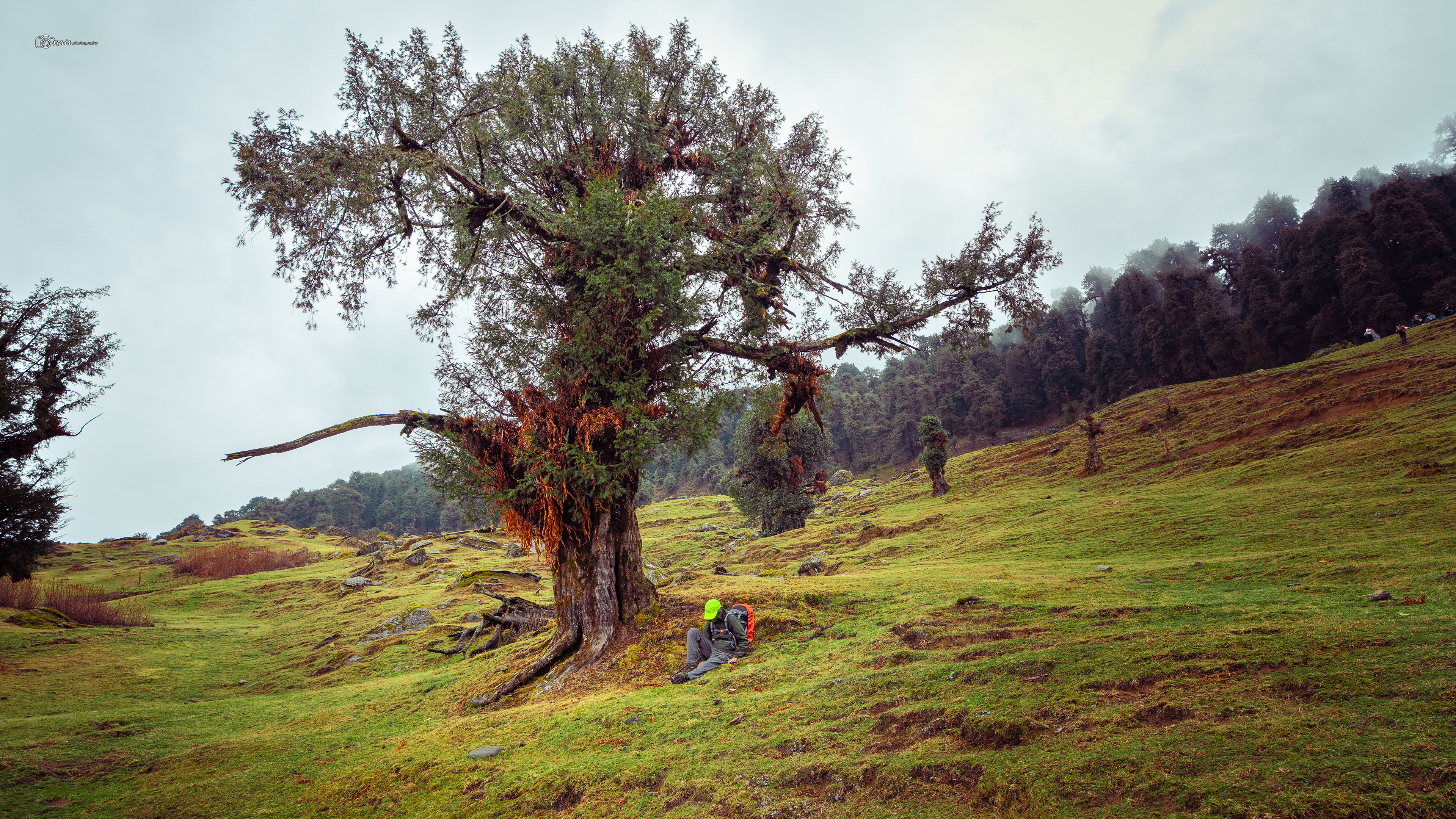
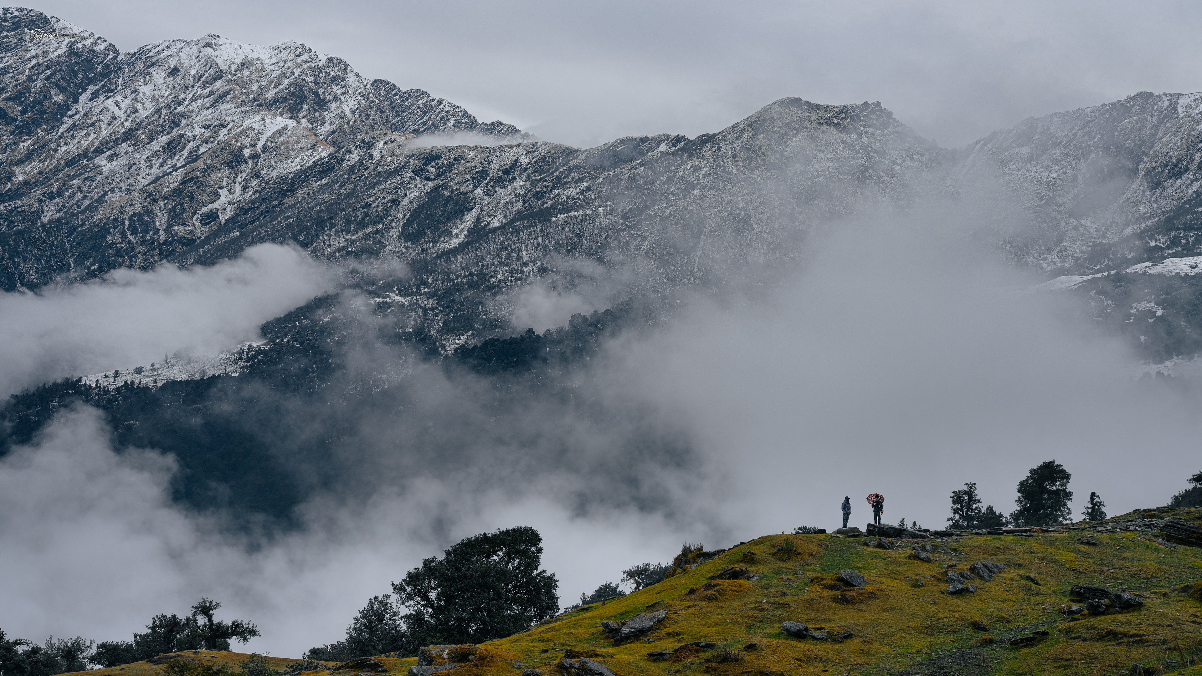
But then we reached Rohini Bugyal, and everything changed. Now before I describe it, let me tell you what a bugyal actually is. It is not just any meadow. A bugyal is a specific type of high altitude alpine meadow found only in the Himalayas, sitting between 3,300 and 4,000 meters above sea level, with its own unique flora that you will not find anywhere else. Rohini Bugyal was nothing like any ordinary bugyal though. Picture this. Clumps of rhododendron trees in full bloom, red and pink flowers blazing against the grey sky, with lush green meadows spread between them like nature's own garden. Flowering trees, then green clearings, then more flowering trees, all set in the middle of a dense forest. And then you look up from this paradise and right there on the opposite side, staring back at you, are the Kedar Dome and Kala Parvat peaks.
A bugyal sitting on the tip of a mountain with giants watching over it. After a short ascent through a forest section beyond Rohini, we hit the highest point of the day.
A bugyal sitting on the tip of a mountain with giants watching over it. After a short ascent through a forest section beyond Rohini, we hit the highest point of the day.
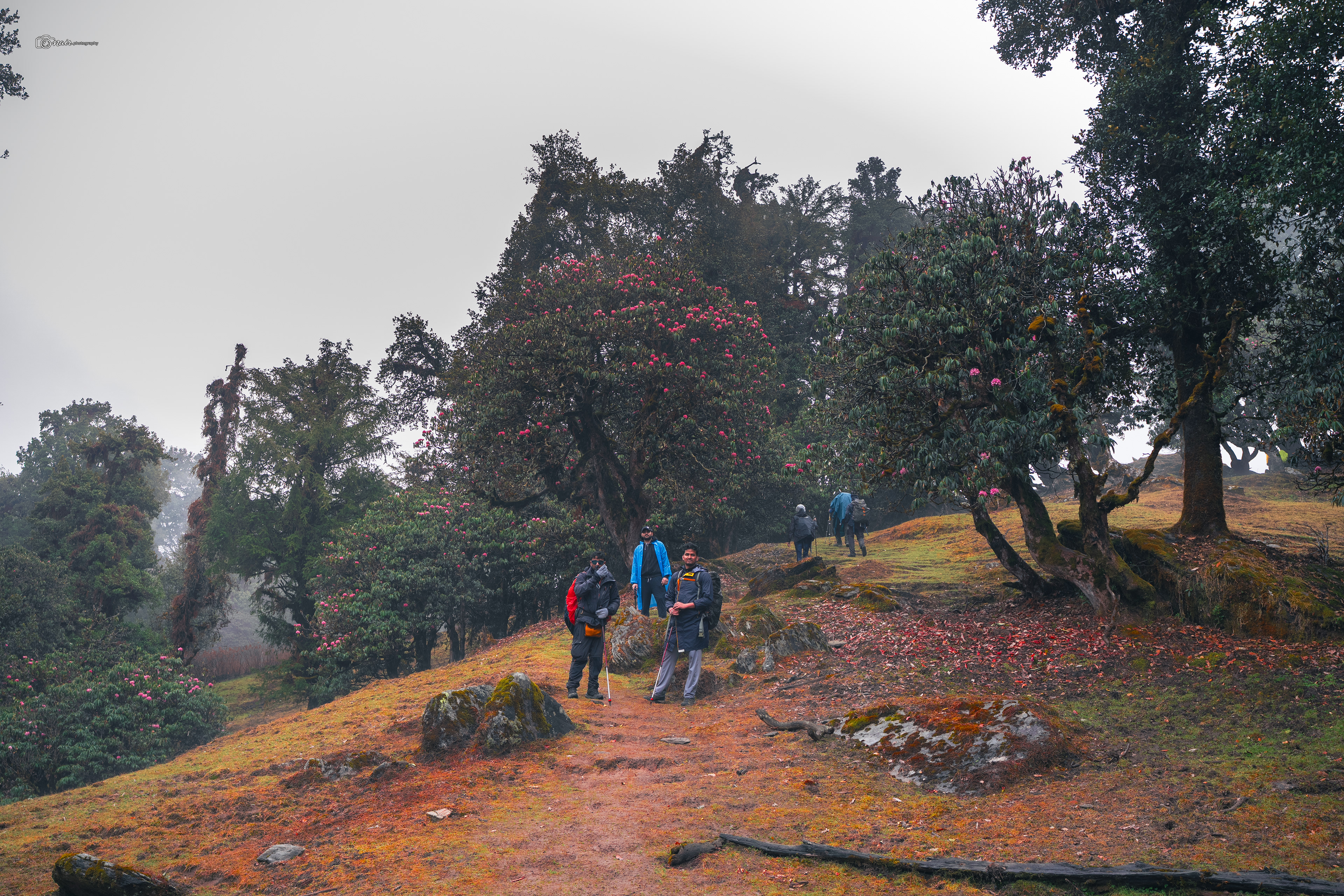
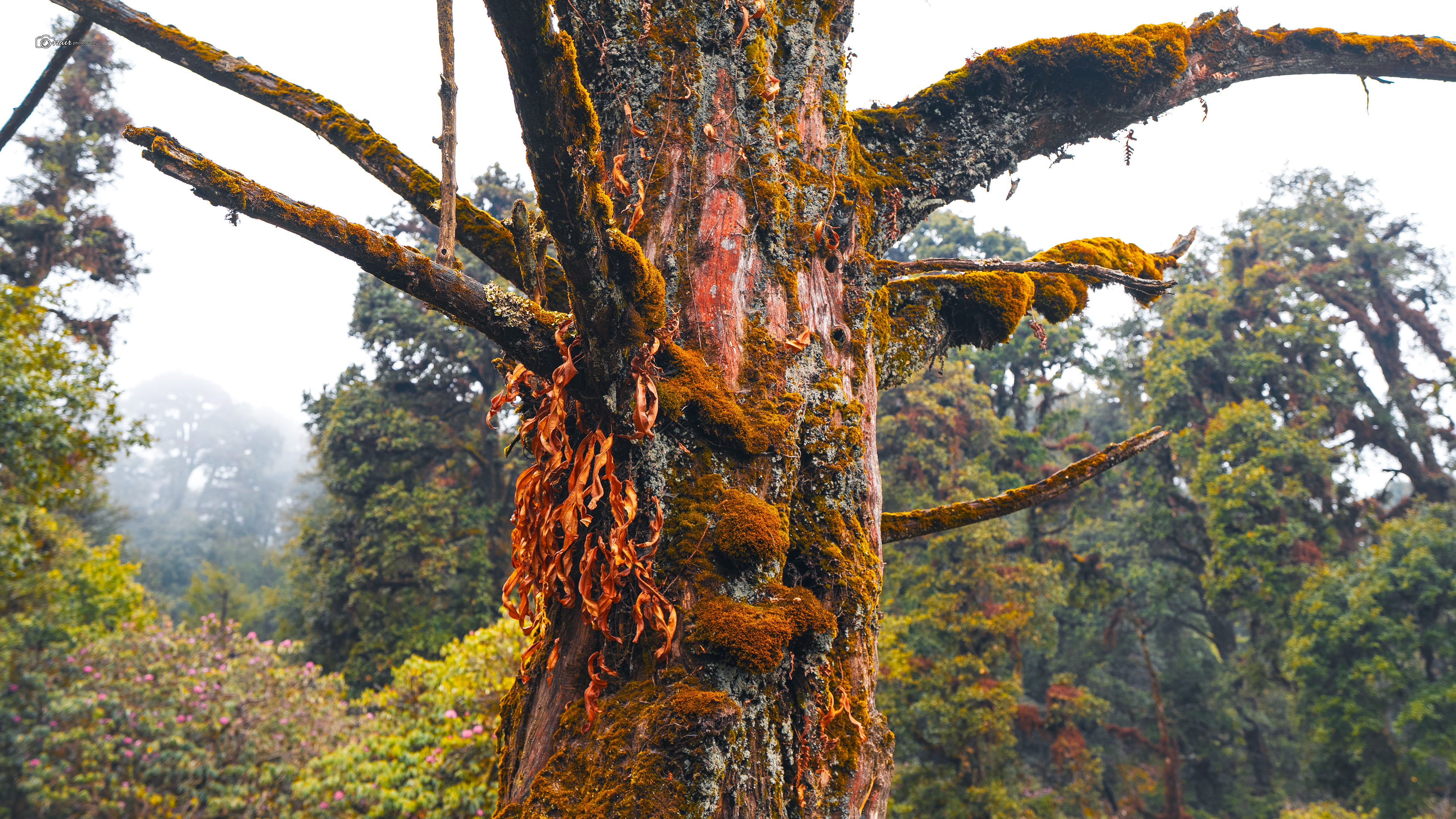
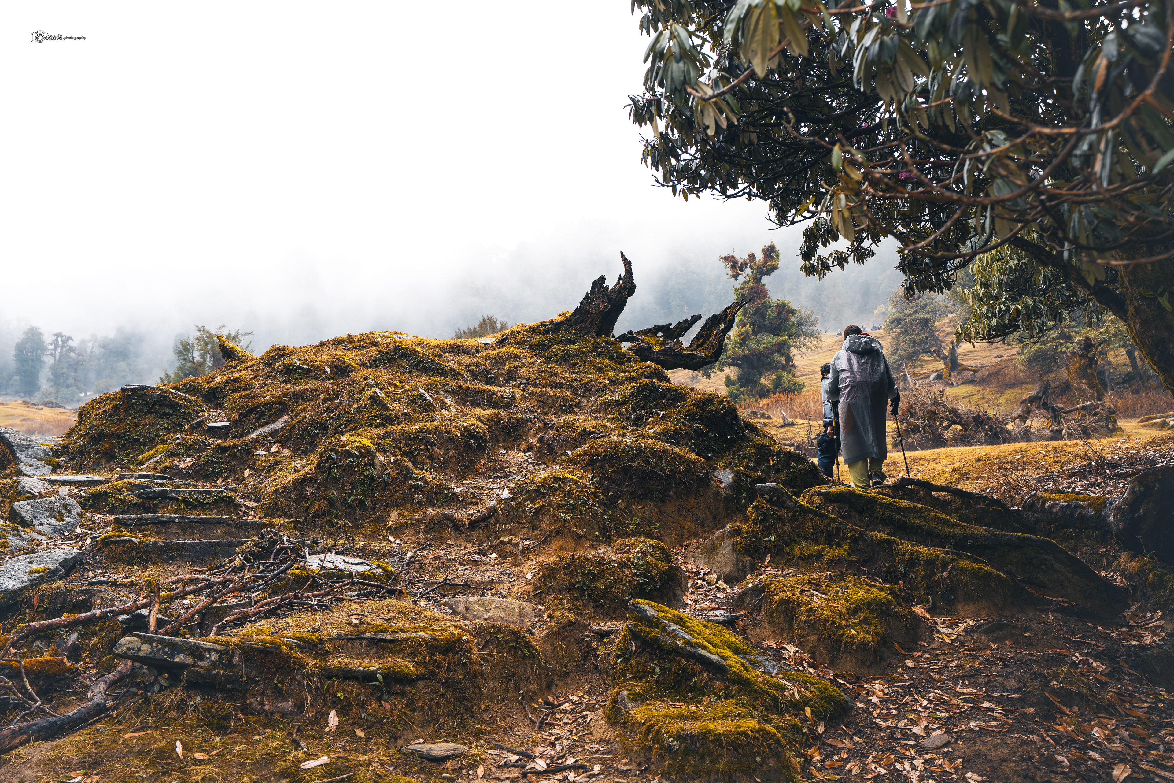
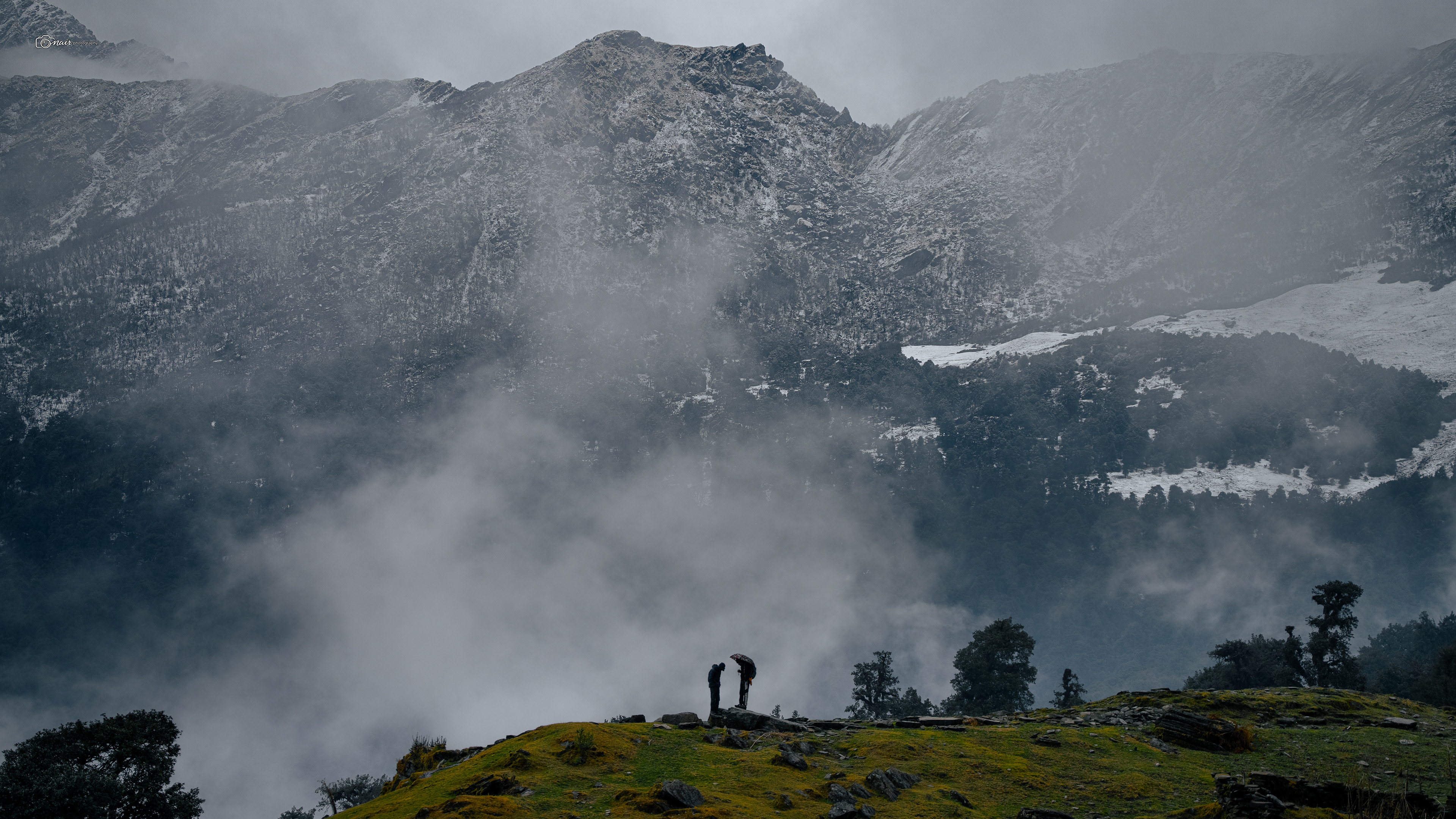
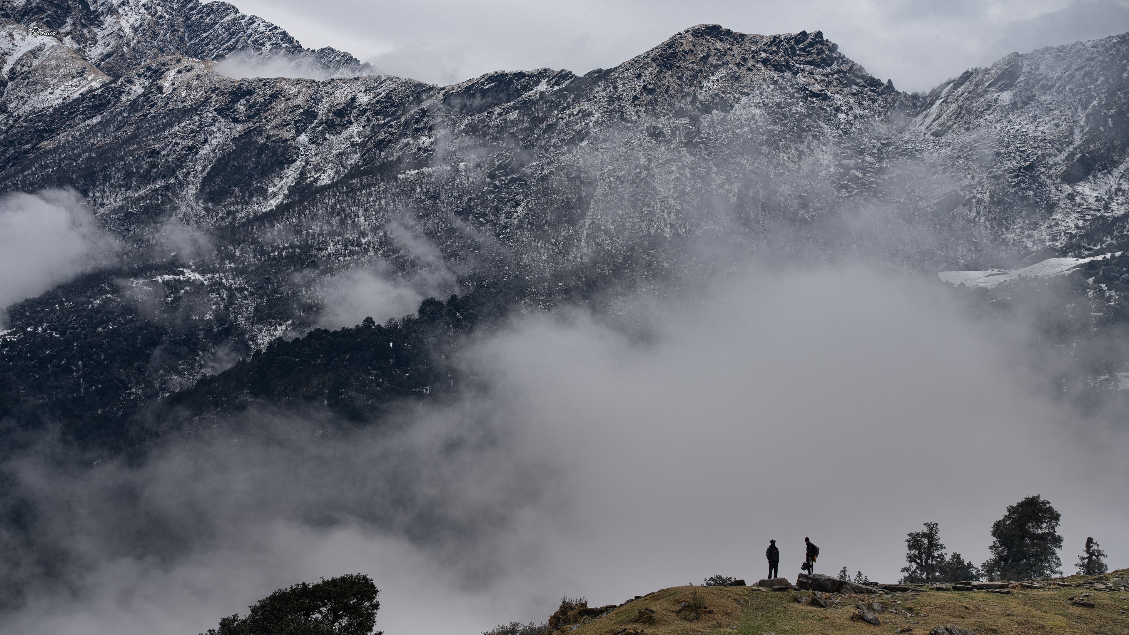
And then it started. The biggest descent of the trek so far.
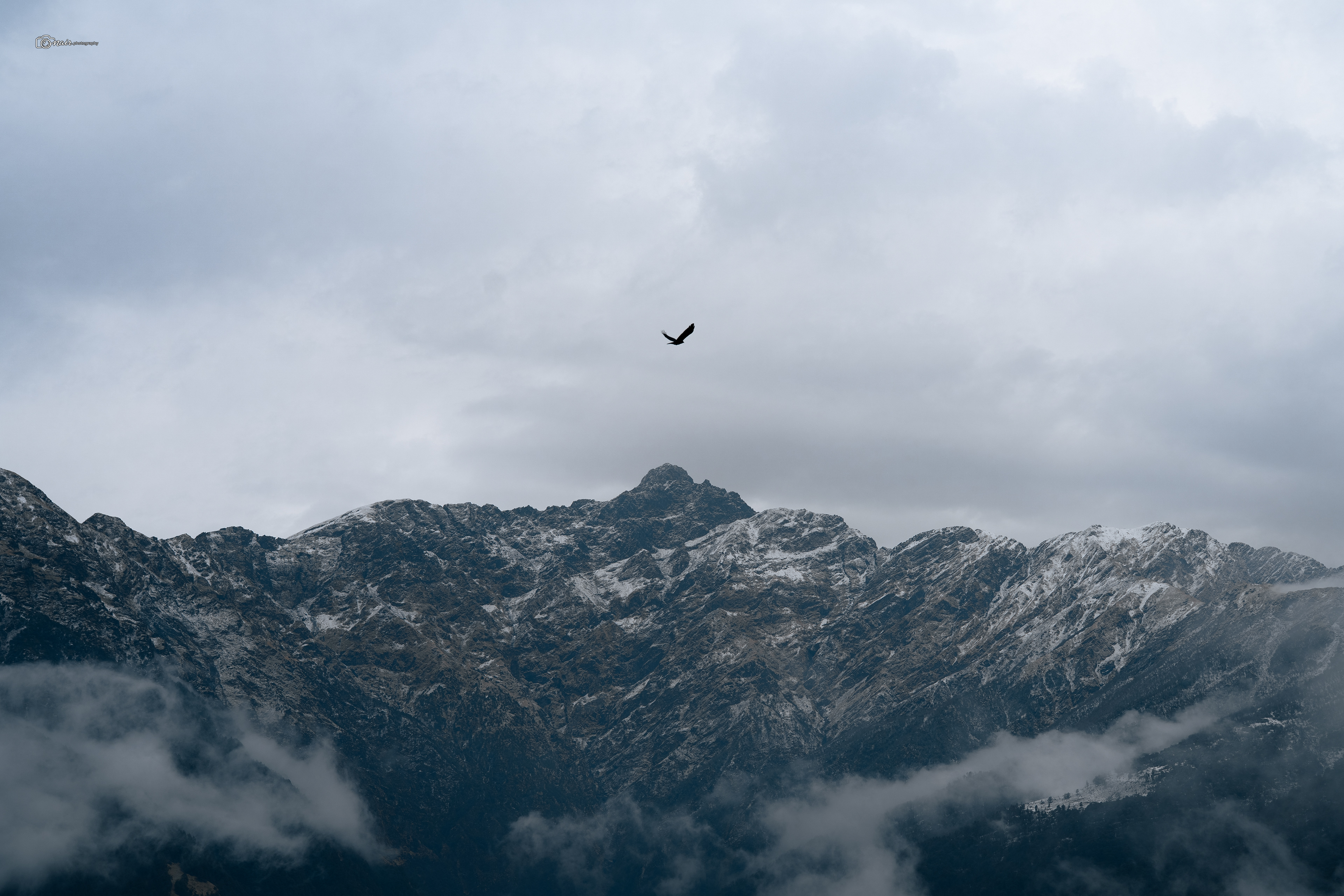
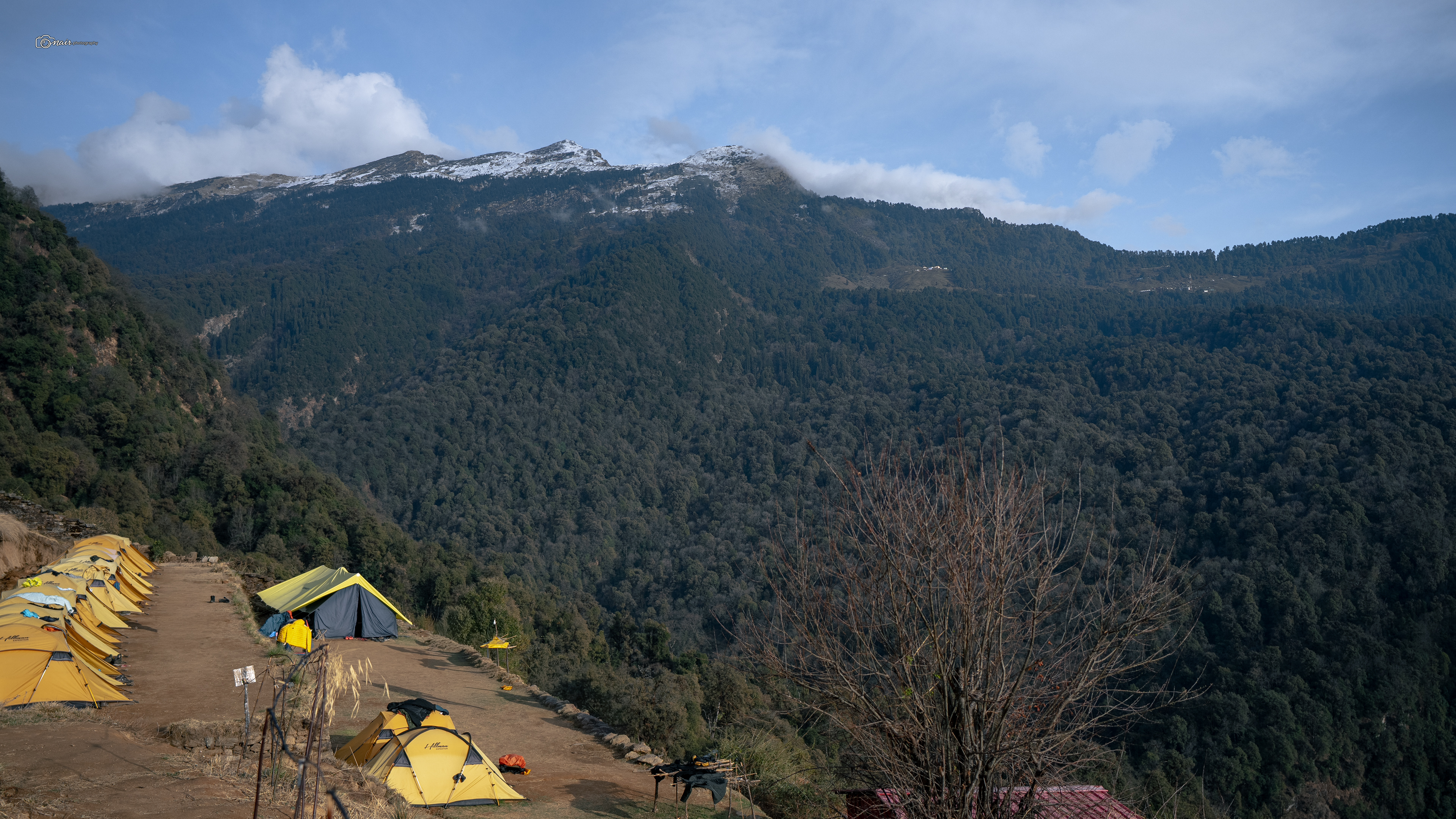
Steep does not even begin to describe it. The trail dropped sharply towards the Syalmi base camp, and the rain had made every rock and root slippery. Our trek leaders Anil, Naveen, and Mohit, fit as mountain goats, probably could cover it in 20 minutes. The rest of us? About an hour and a half of carefully placing one foot in front of the other, praying we would not slip. This stretch was also a wildlife hotspot. Foxes, snakes, griffon vultures circling above, all reminders that we were deep in their world now. Through the dense forest we moved, step by careful step, until finally the trees opened up and a beautiful open meadow appeared about 200 to 300 meters from camp. The Syalmi meadow. And right there, sitting calmly on the branches like they owned the place, I spotted a troop of Himalayan langurs watching us arrive. We had made it to the Syalmi campsite. Exhausted, drenched, but grinning like idiots.
Steep does not even begin to describe it. The trail dropped sharply towards the Syalmi base camp, and the rain had made every rock and root slippery. Our trek leaders Anil, Naveen, and Mohit, fit as mountain goats, probably could cover it in 20 minutes. The rest of us? About an hour and a half of carefully placing one foot in front of the other, praying we would not slip. This stretch was also a wildlife hotspot. Foxes, snakes, griffon vultures circling above, all reminders that we were deep in their world now. Through the dense forest we moved, step by careful step, until finally the trees opened up and a beautiful open meadow appeared about 200 to 300 meters from camp. The Syalmi meadow. And right there, sitting calmly on the branches like they owned the place, I spotted a troop of Himalayan langurs watching us arrive. We had made it to the Syalmi campsite. Exhausted, drenched, but grinning like idiots.
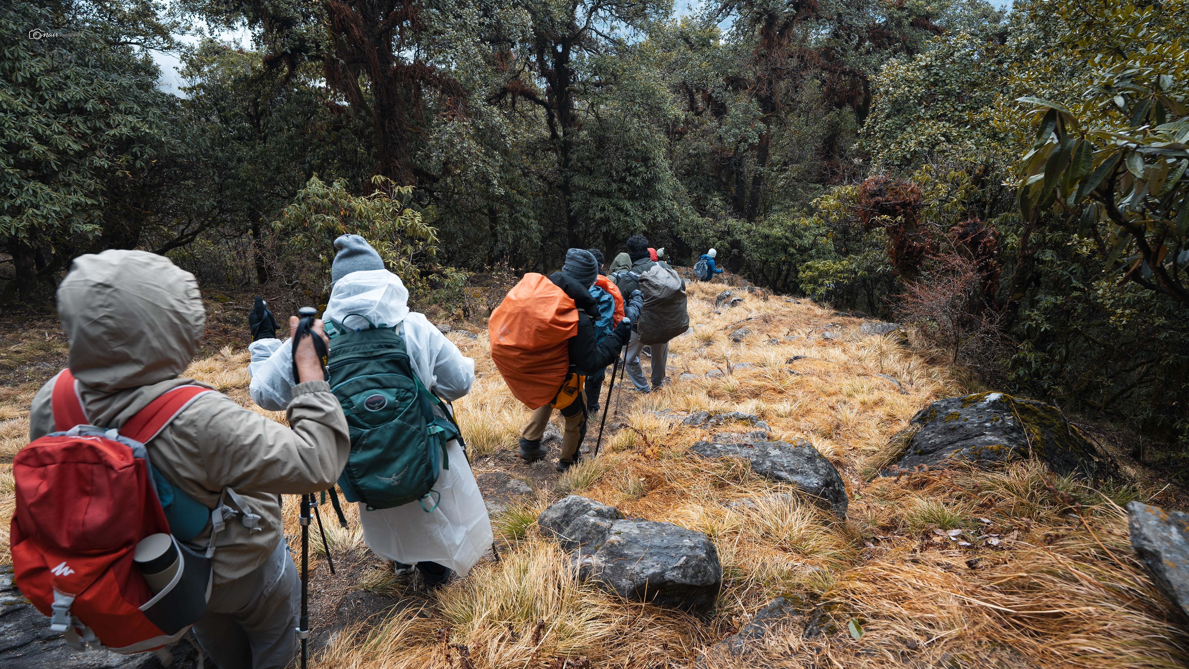
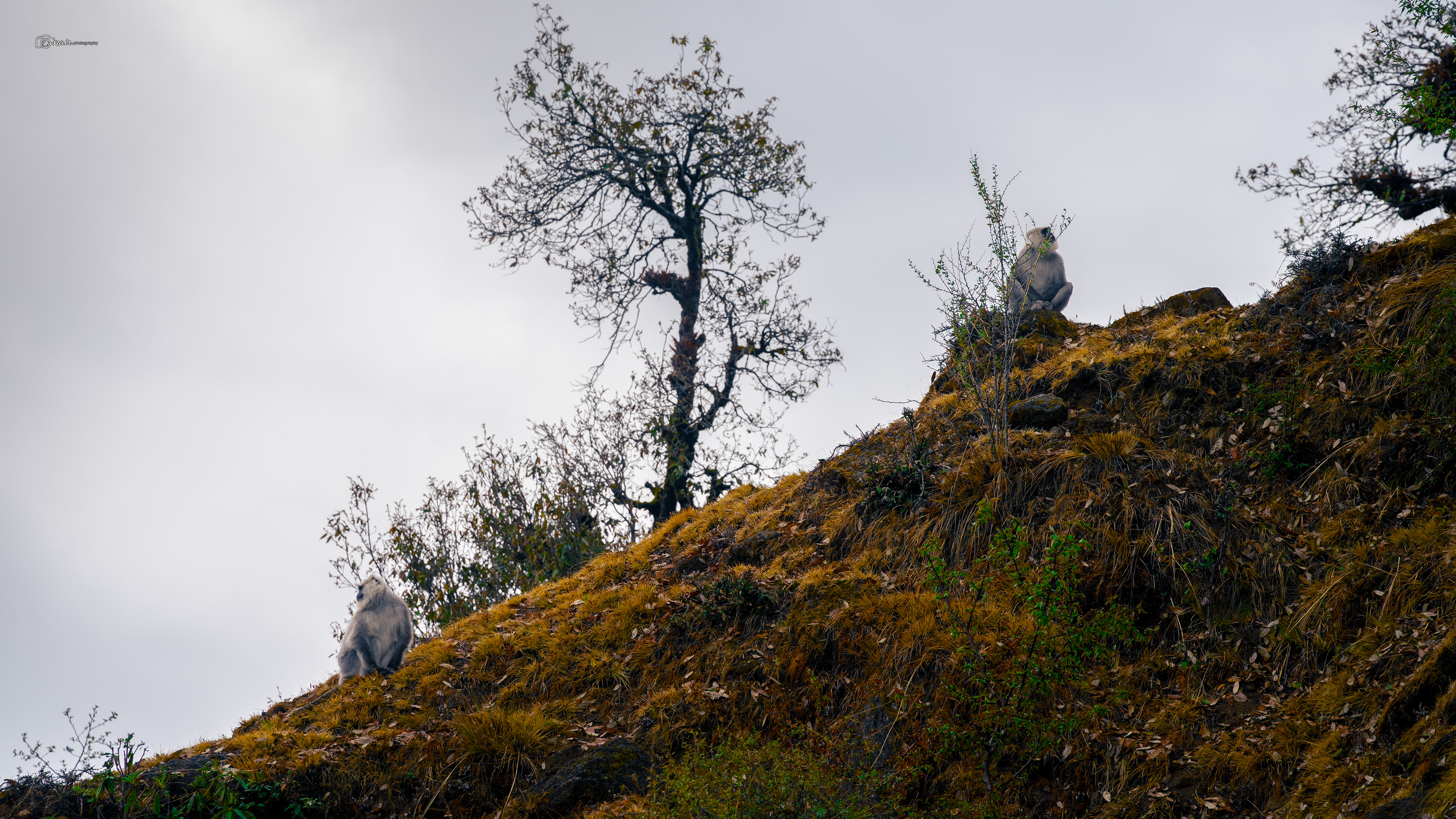
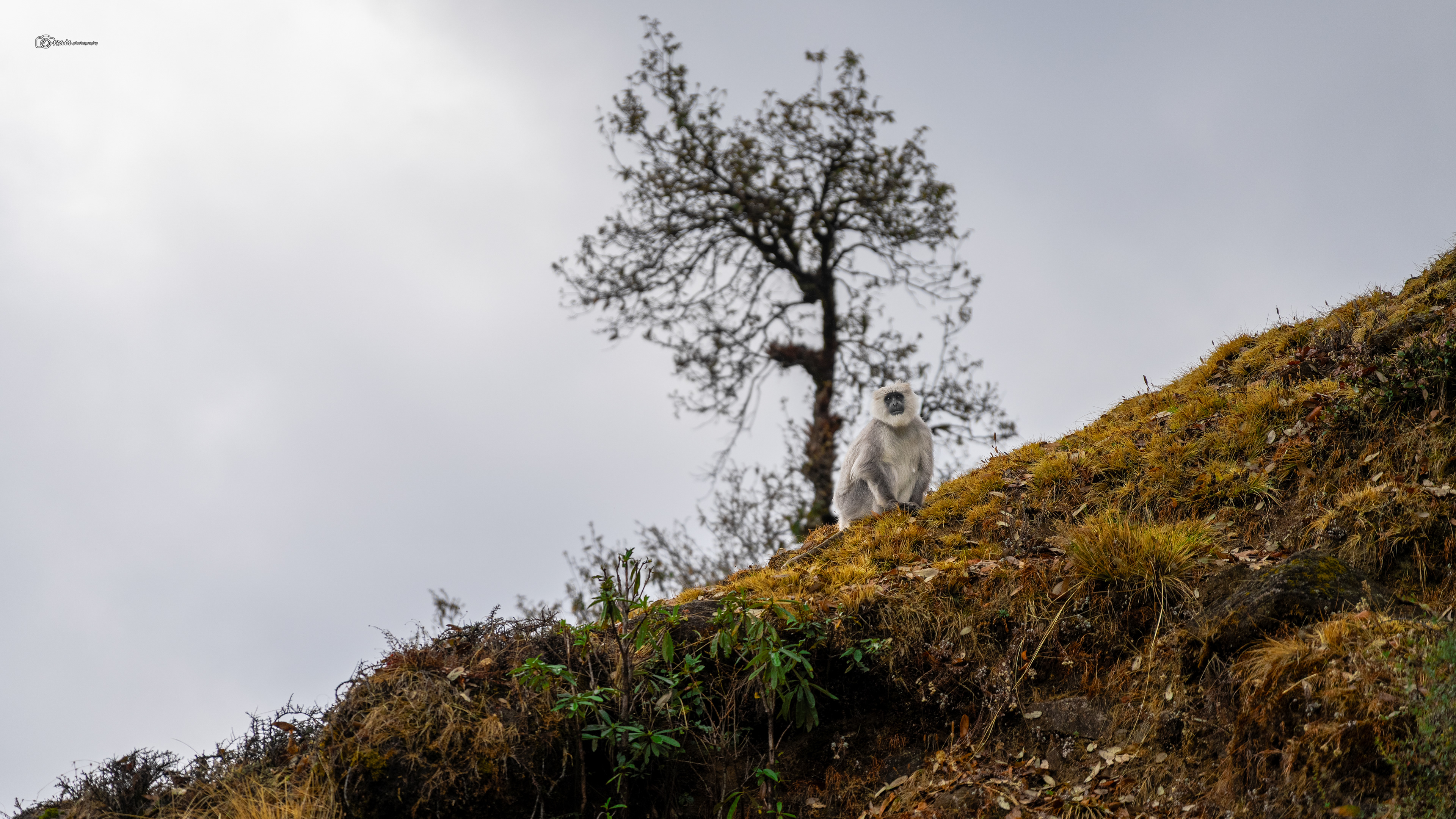
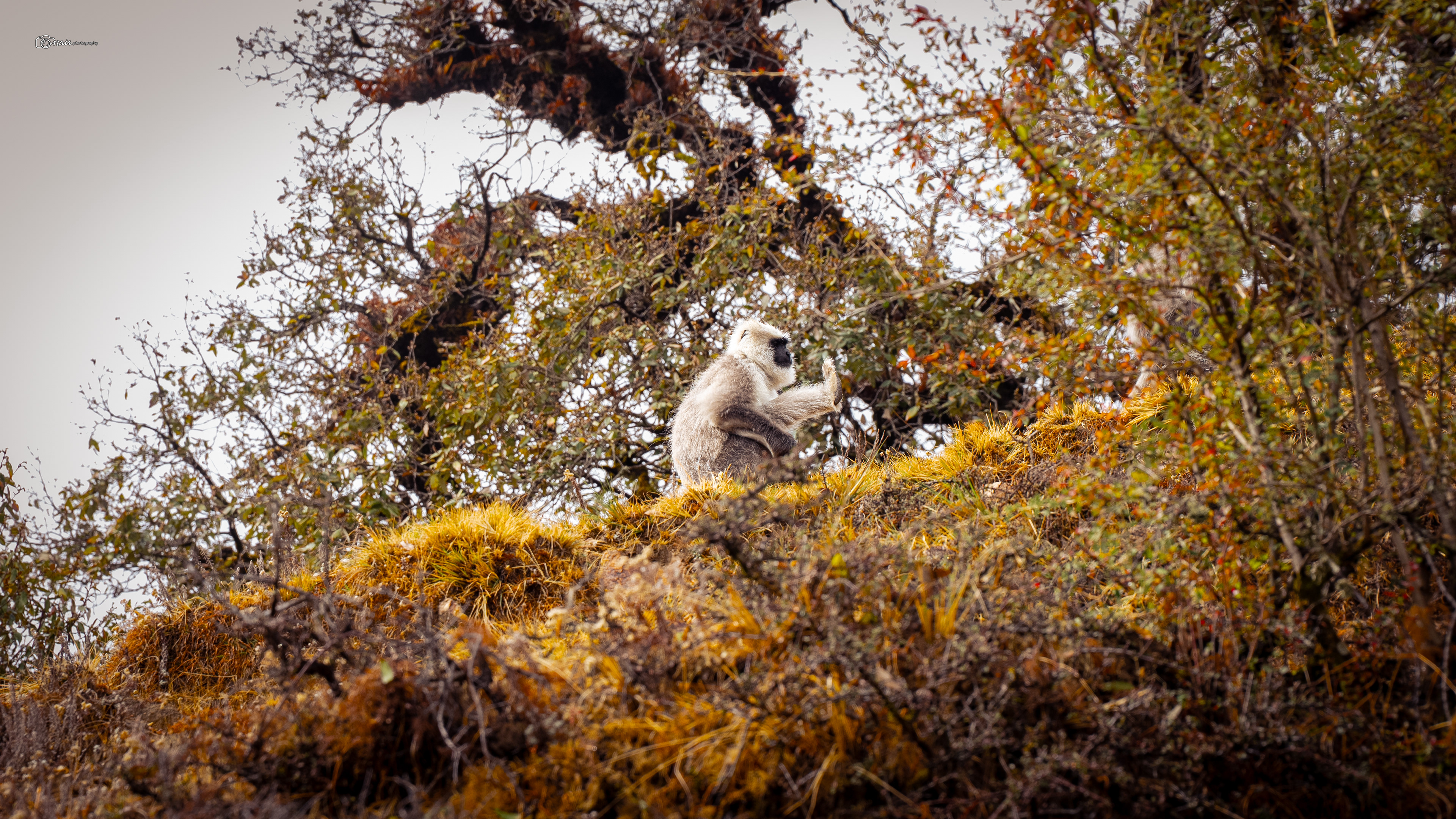
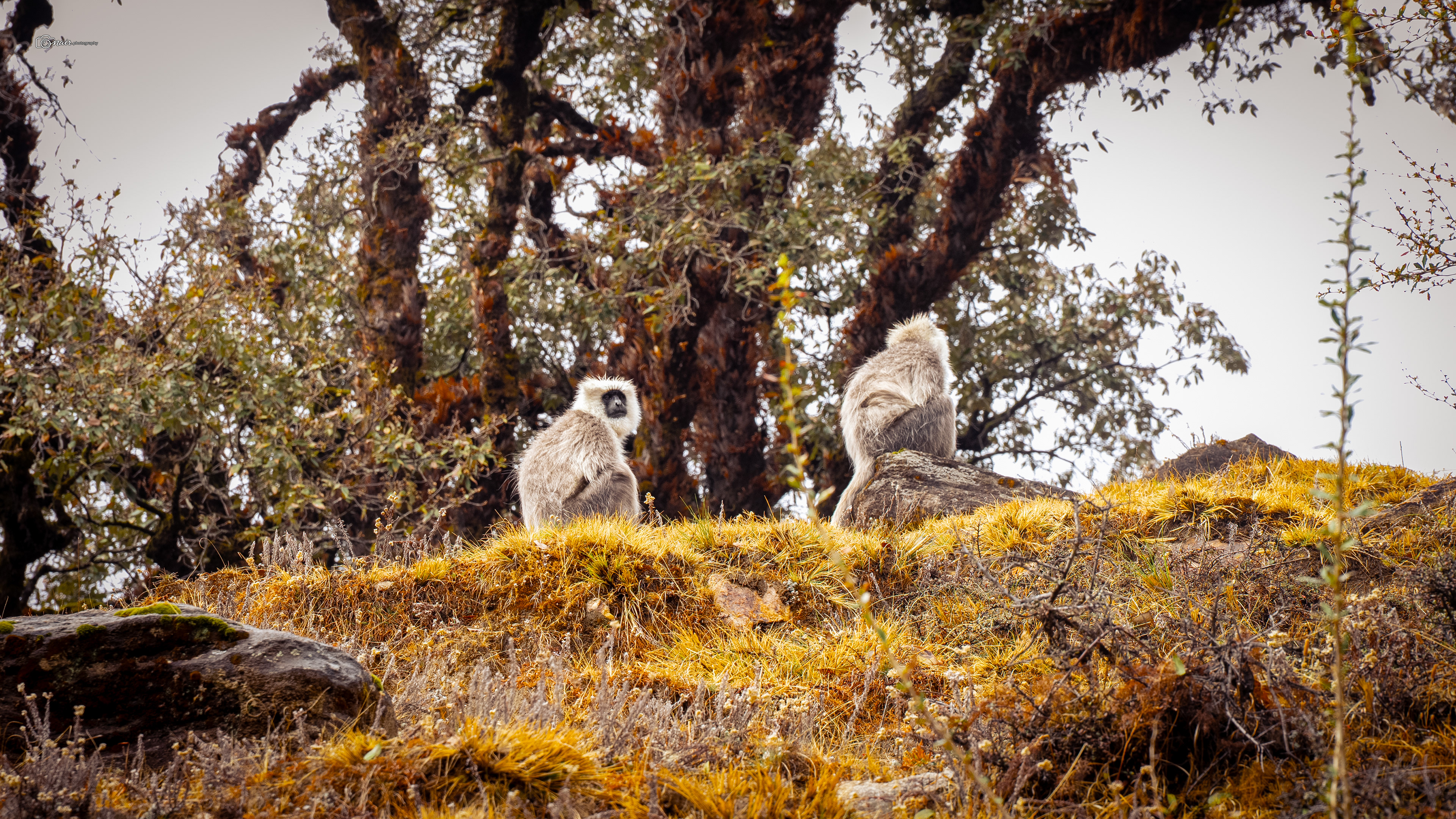
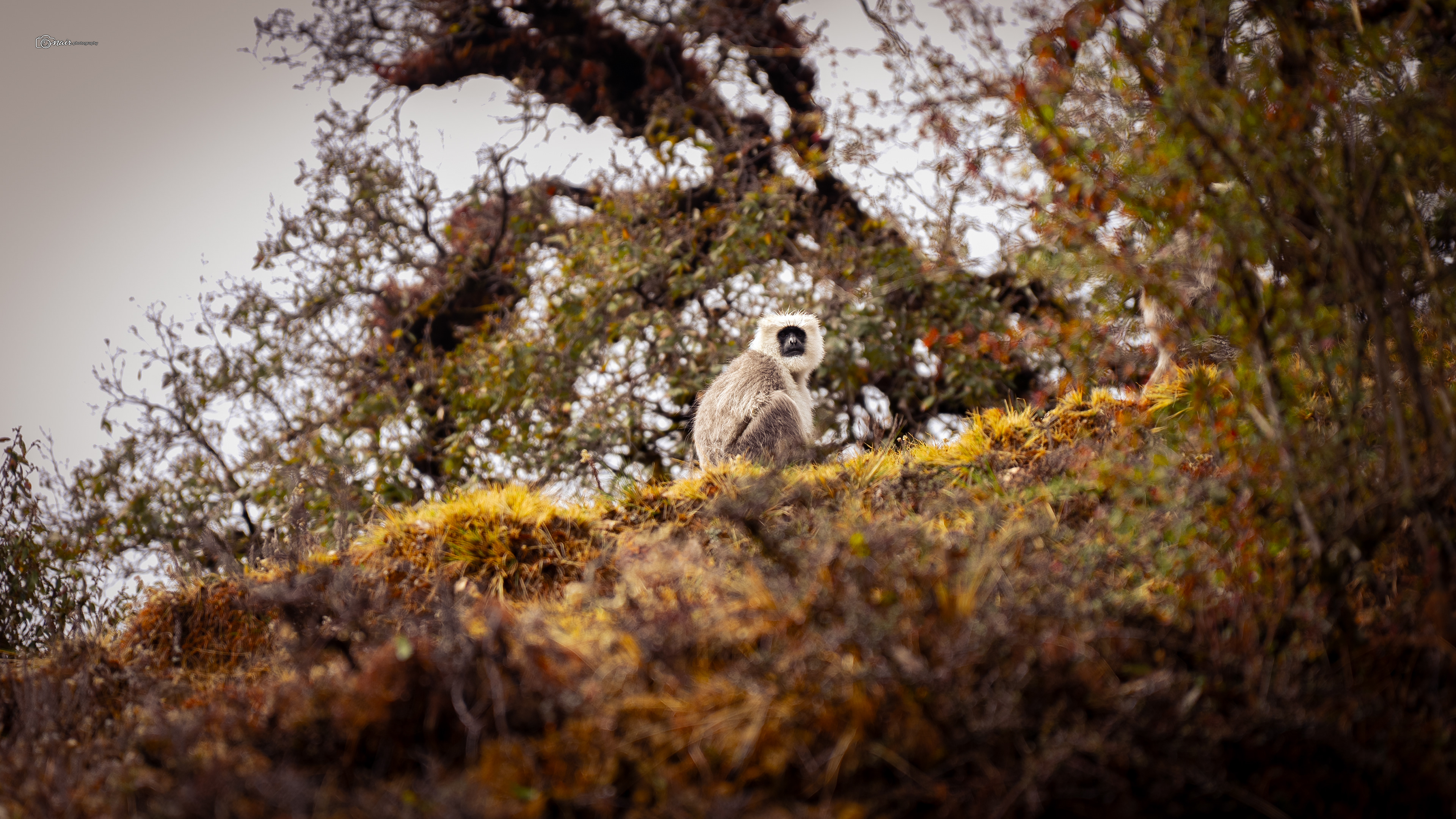
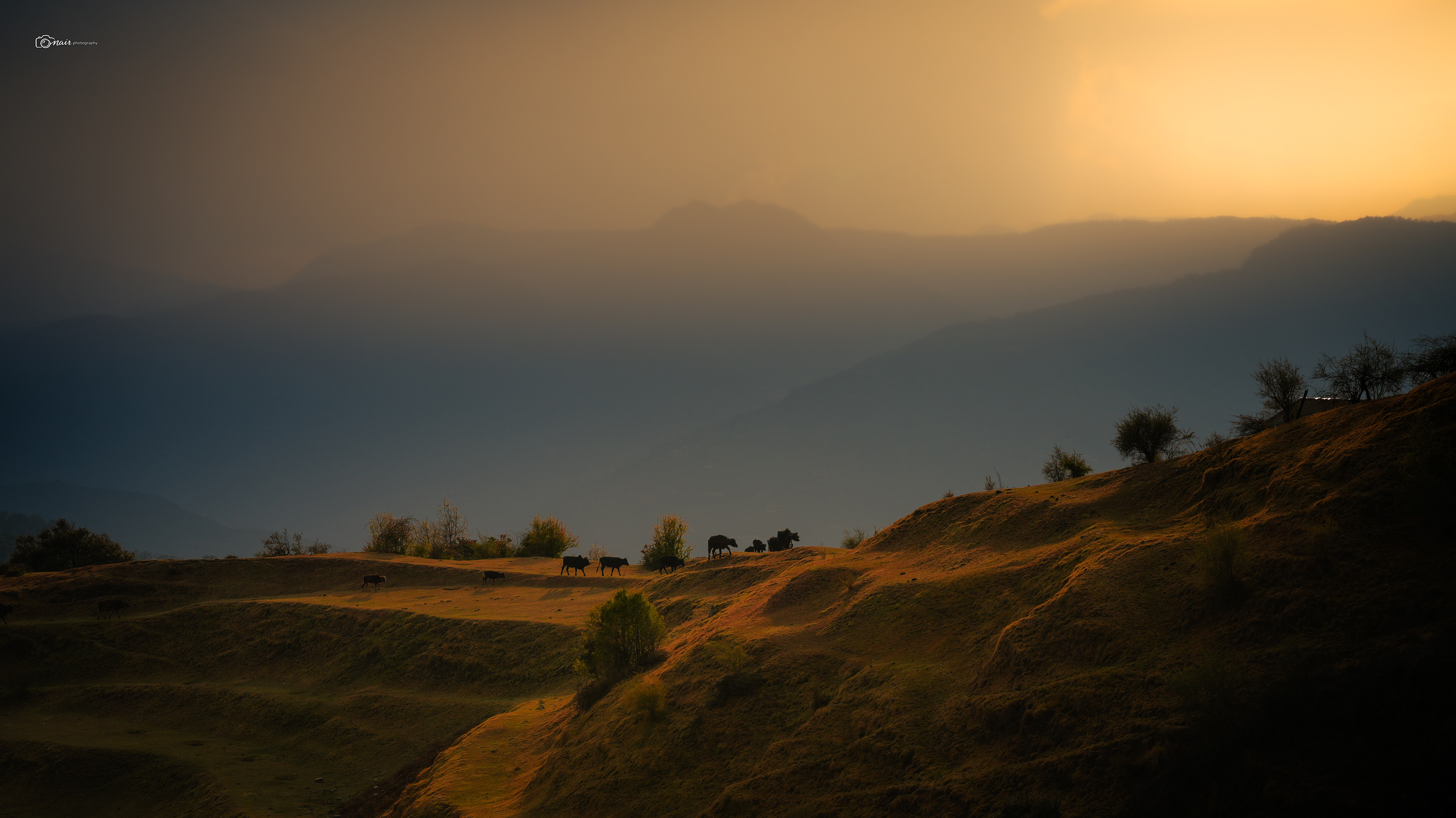
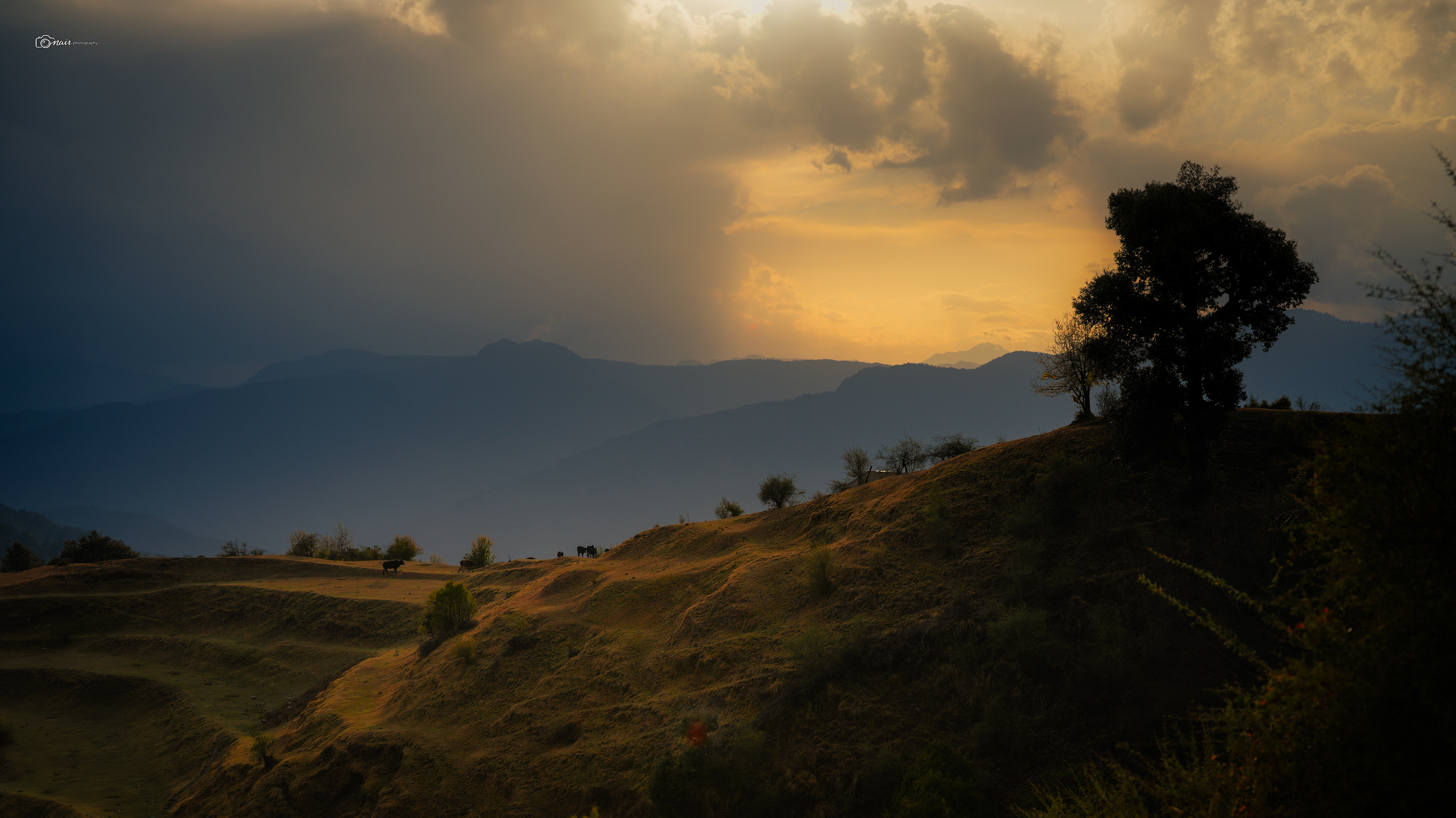
The happiness on our faces when we finally saw the camp was priceless. And right from the campsite, there it was, our final destination staring right back at us. The peaks of Chandrashila and Ravanshila standing tall against the evening sky. I have a story about those peaks, but I will save it for when we get closer. For now just know they were watching us, almost as if waiting for us to arrive. We reached camp, and I did the biggest stretch of my life. My legs were absolute jello. After about 30 minutes of just lying there and letting my body forgive me, I looked up and saw a beautiful sight. A herd of cows grazing peacefully at the far end of the meadow, bathed in the golden light of sunset. Most of them belonged to a local family living just about a hundred meters from the meadow. Simple life, simple evenings.
And honestly, after the day we just had, watching cows graze in silence felt like the most luxurious thing in the world. We went to bed early that night as the rain rolled back in.
And honestly, after the day we just had, watching cows graze in silence felt like the most luxurious thing in the world. We went to bed early that night as the rain rolled back in.
Somewhere around midnight, the sound on the tent changed.
The patter of rain turned softer, quieter. The rain had turned to snow.
The patter of rain turned softer, quieter. The rain had turned to snow.
Day three was done.
Day 4
Through the Heart of the Forest — Syalmi to Baniya Kund
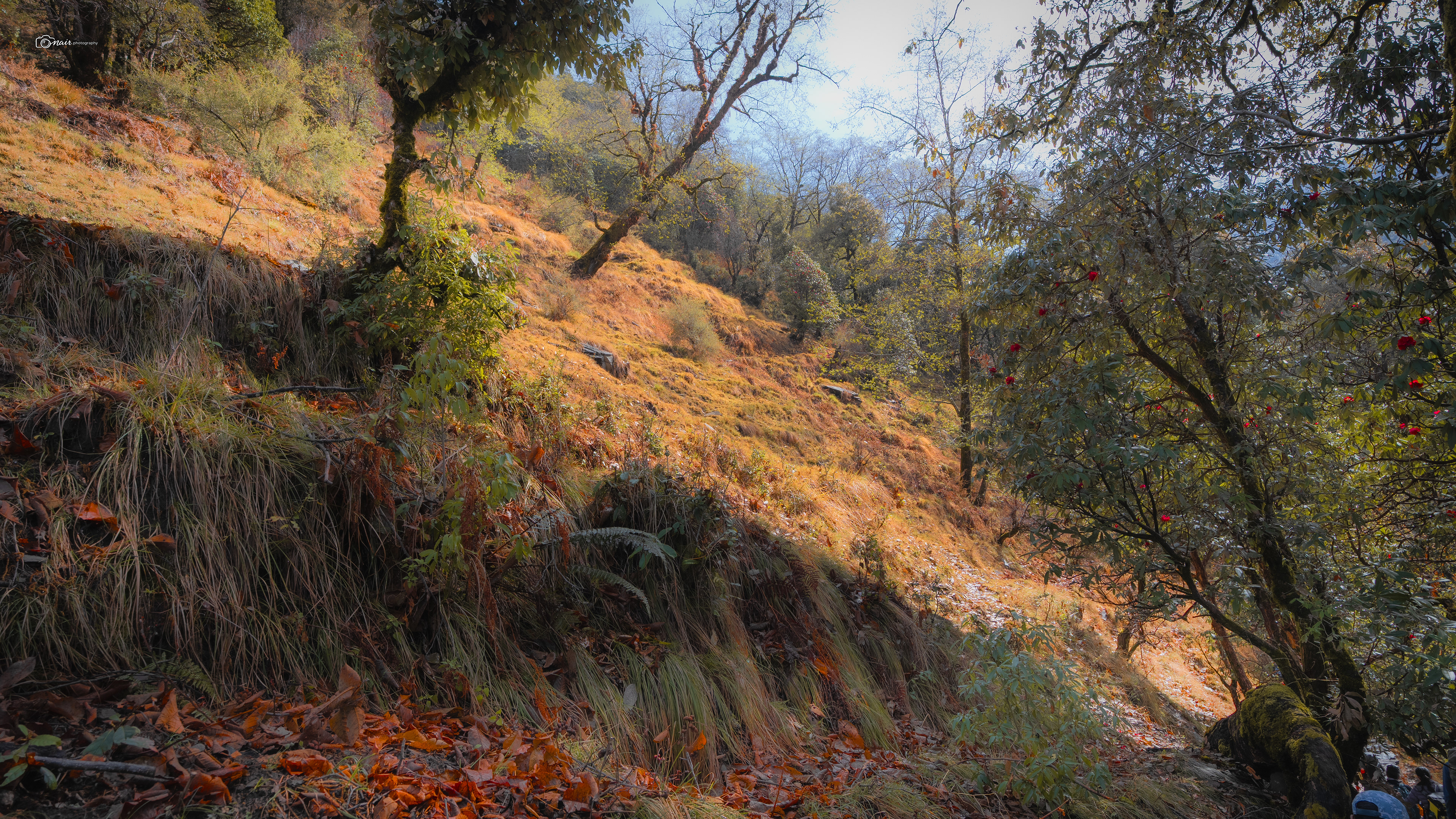
We woke up to a world dusted in white from the midnight snowfall. But by the time we started walking, the sun was out and shining high. If day three was all about ridge walking with massive Himalayan views, day four was a completely different beast. Today we were not walking along the mountain. We were walking through it. Straight into the heart of a dense, deep forest. The descent towards the Akashkamini river was warm and beautiful, with rhododendron flowers literally paving our path, their pink and red petals scattered across the trail like a welcome carpet. I will tell you more about these incredible trees once I show you the deeper forest. Our guides Mohit and Naveen reminded us how lucky we were. Being peak summer, hiking constantly should have destroyed us. But the rain on day three kept us cool, and the snowfall overnight meant day four started cold. Our bodies could push harder without overheating. Mohit told us that once a team took over 12 hours to reach Syalmi, arriving at 7:30 in the evening completely broken. We had made it by 3:30. The mountain was being kind to us, and we were not about to take that for granted.
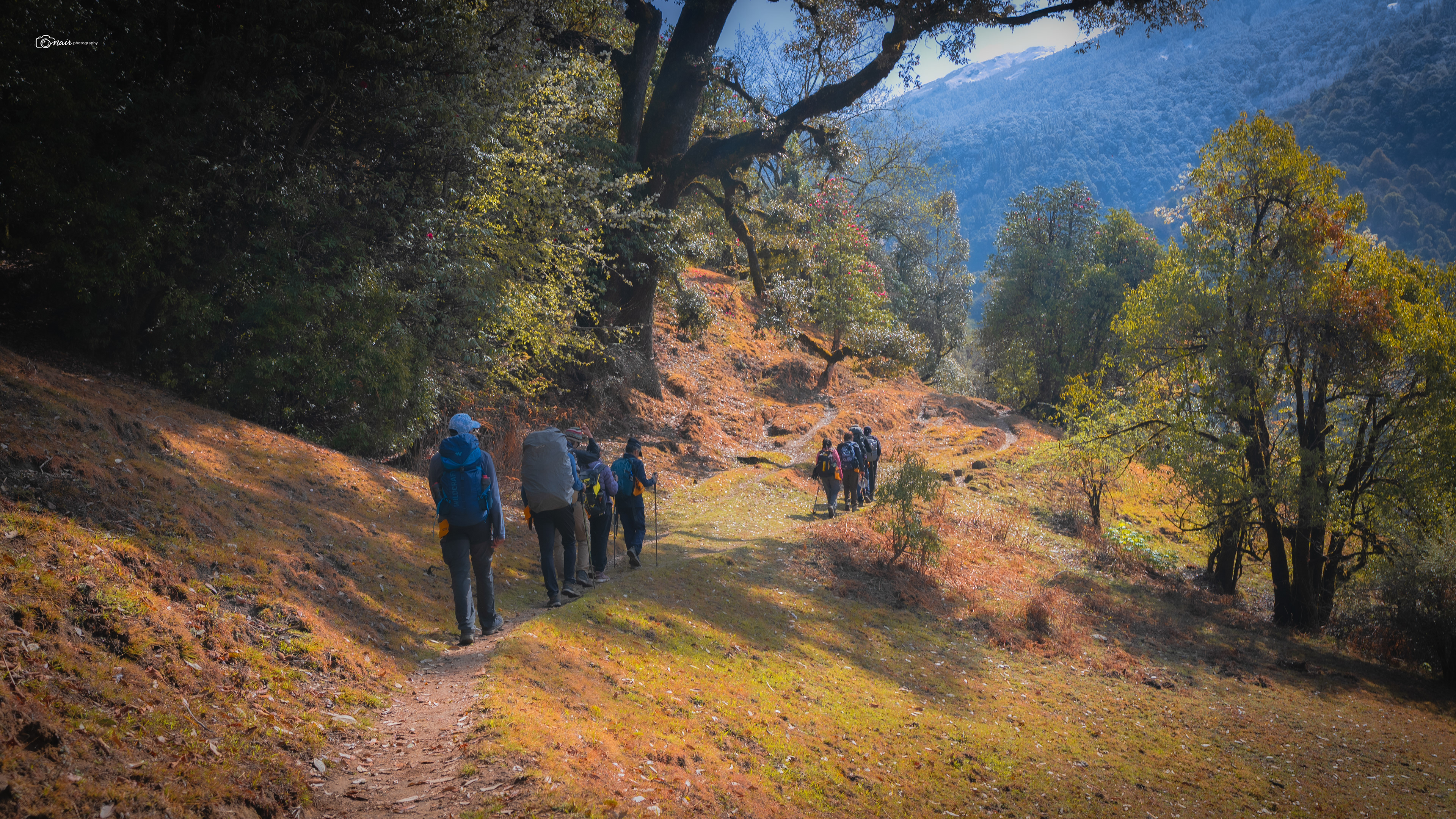
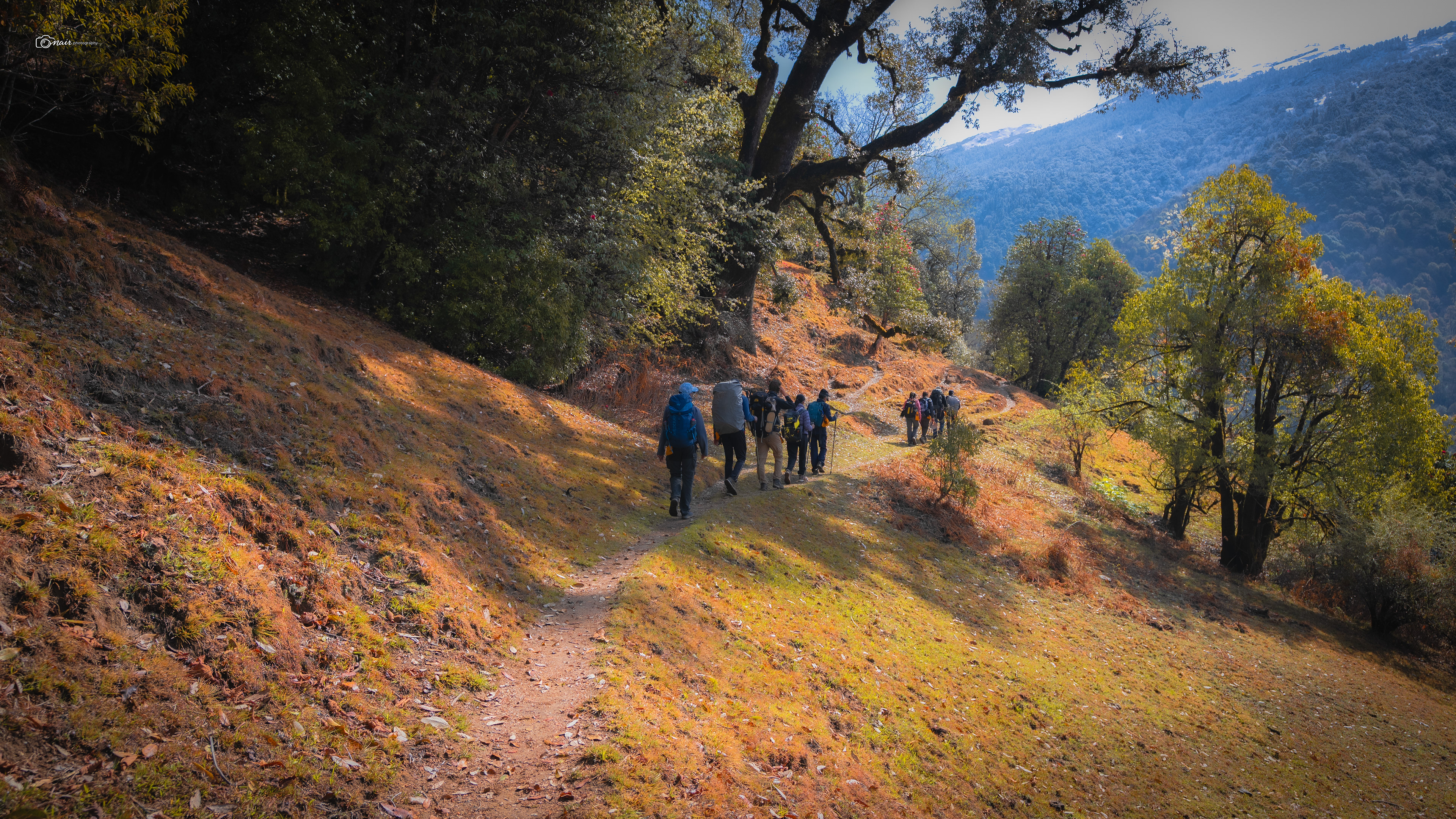
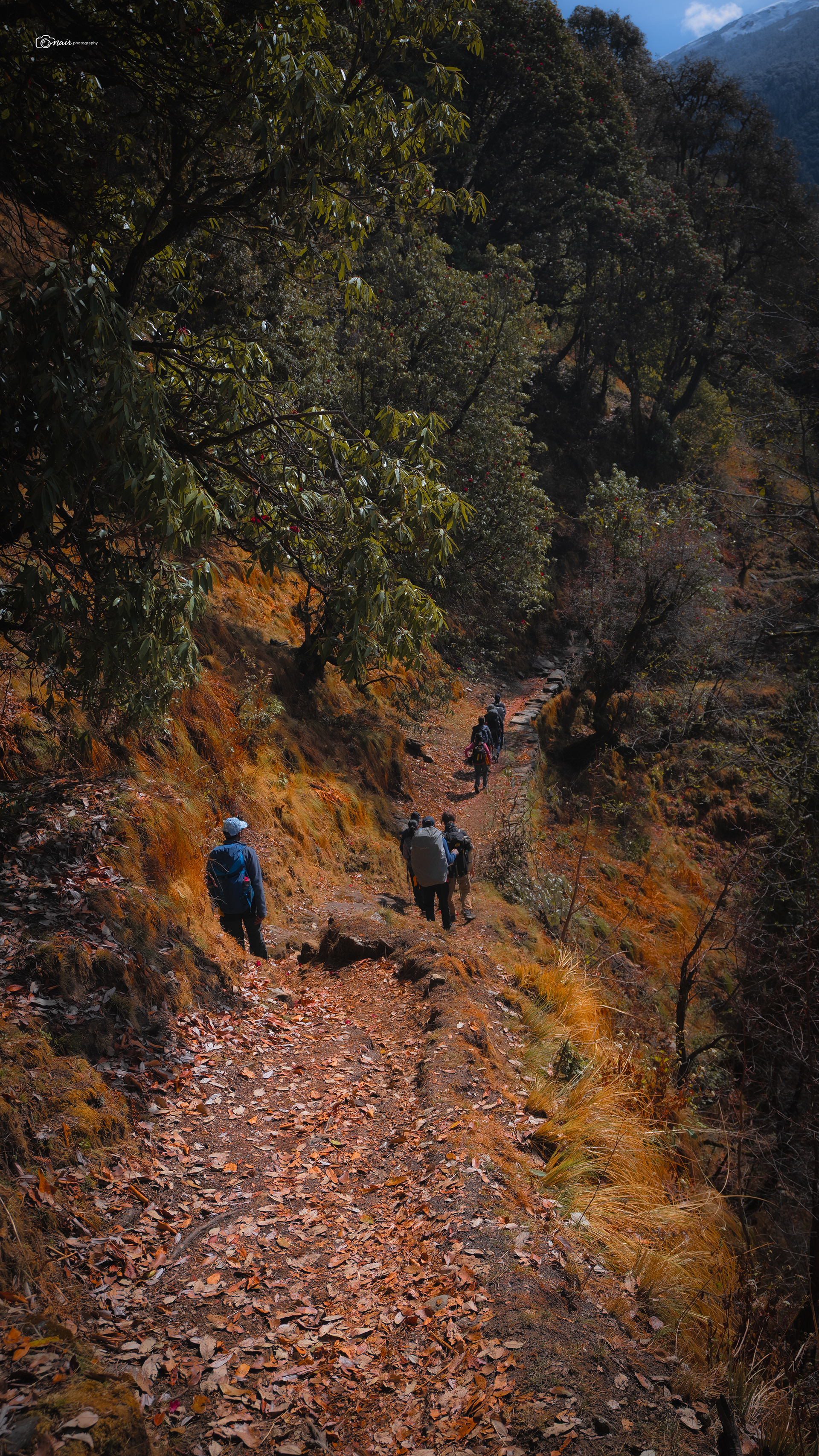
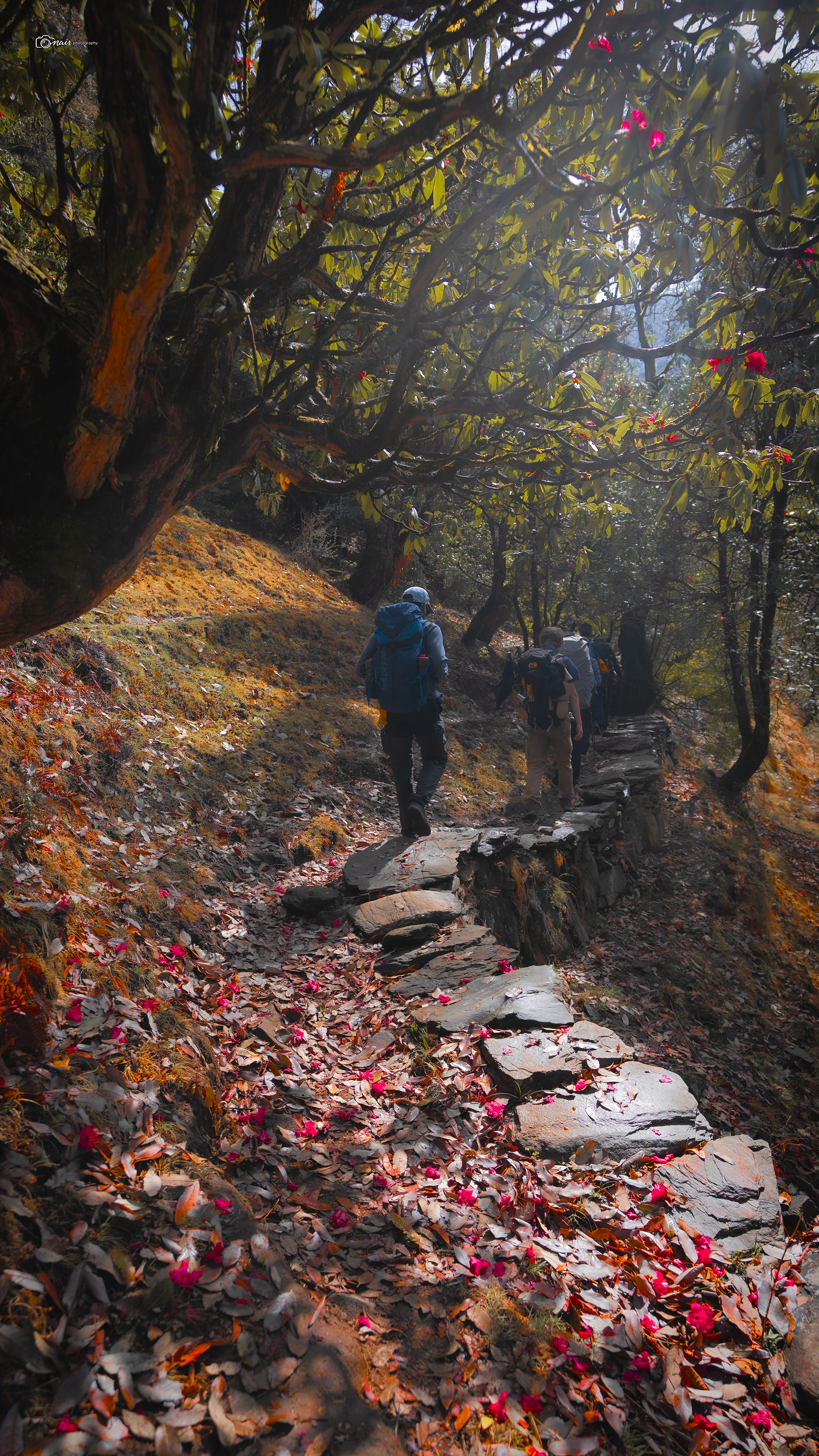
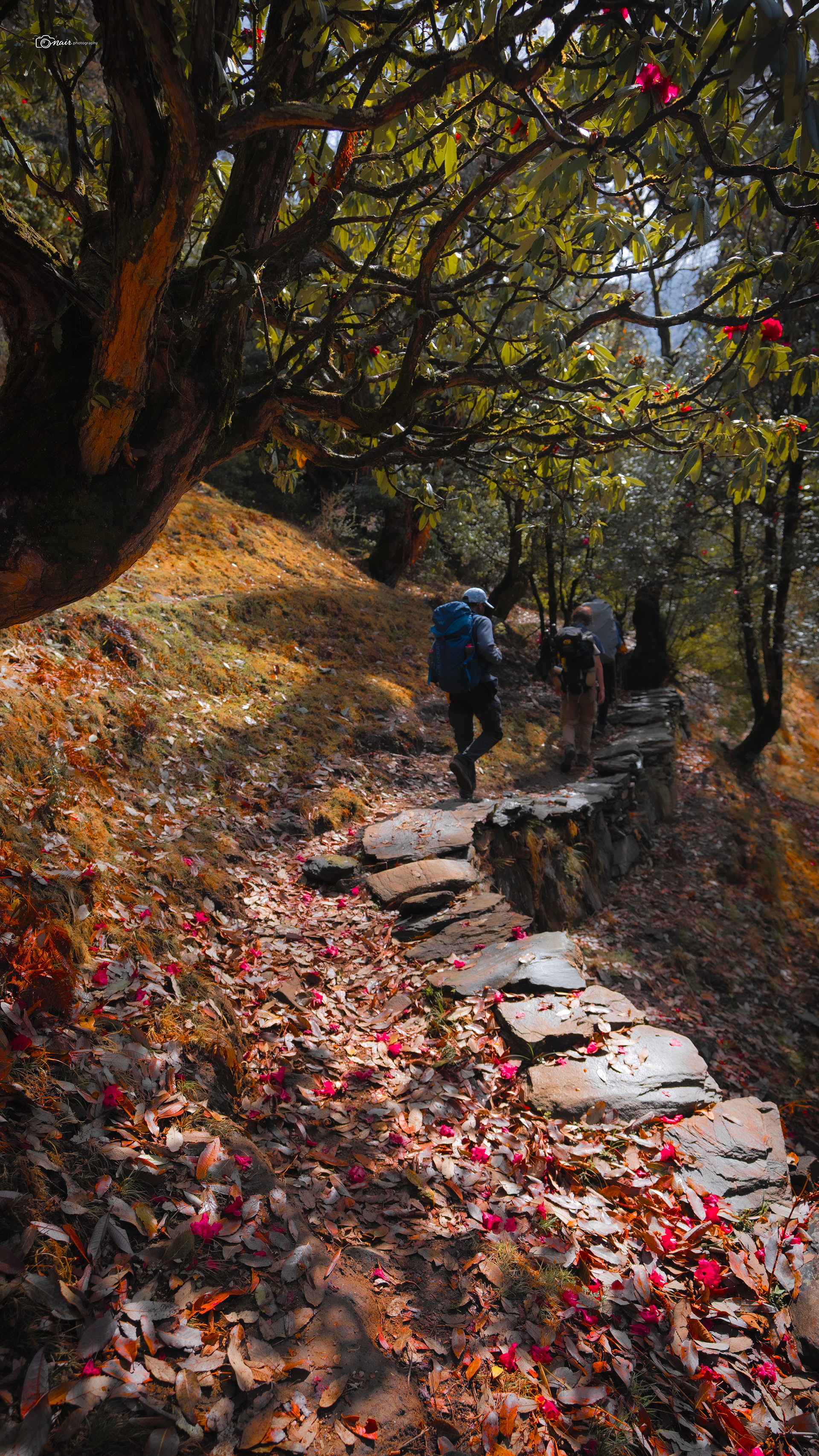
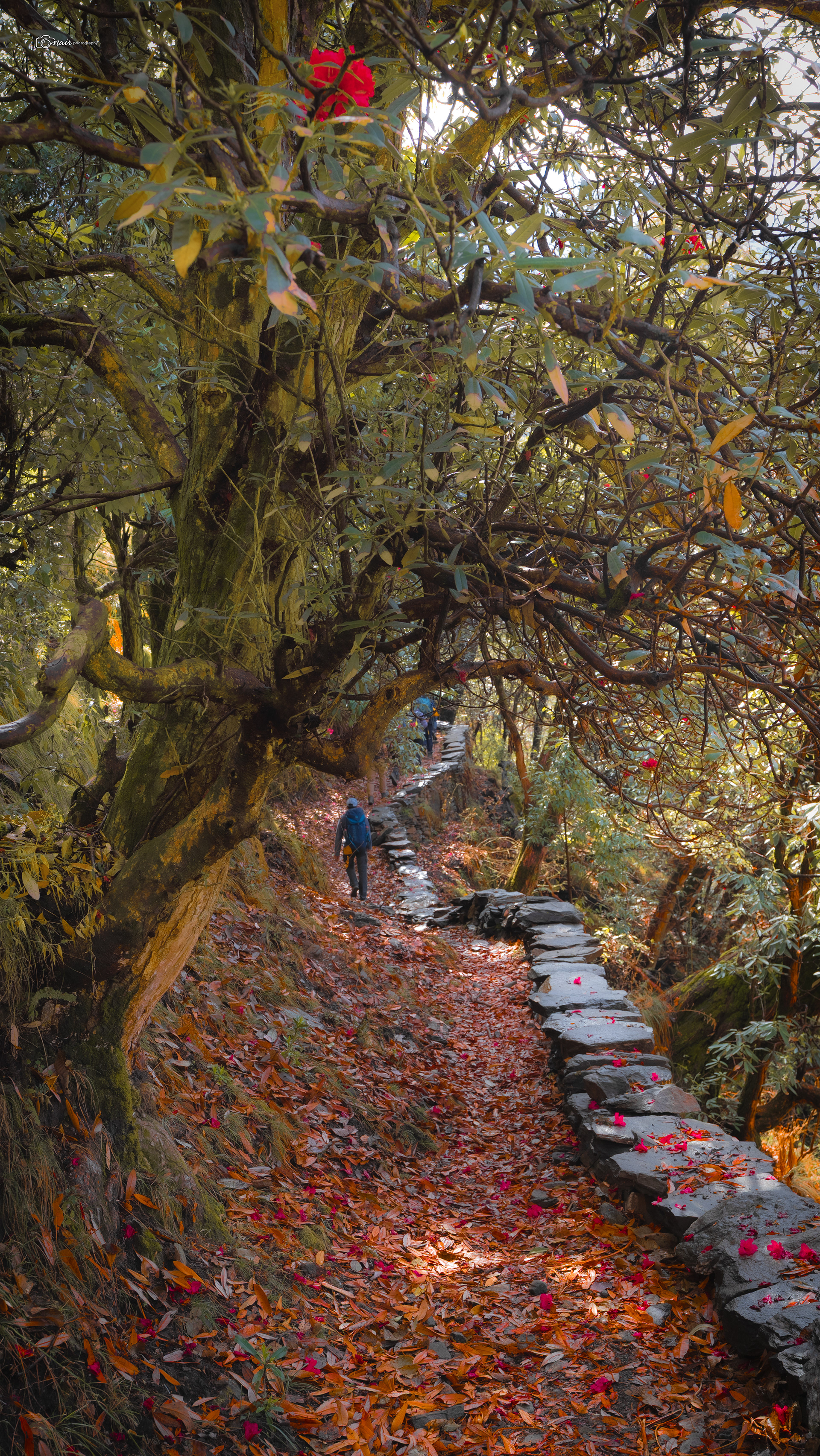
The trail down to the river was gentle, with mountain sedge grass covering both sides. This grass forms dense, arching clumps of deep green leaves, thriving in shady moist areas. It is evergreen, fast growing, and acts as a natural ground cover that prevents erosion on these steep slopes. Soon the trail led us into a mini bamboo forest
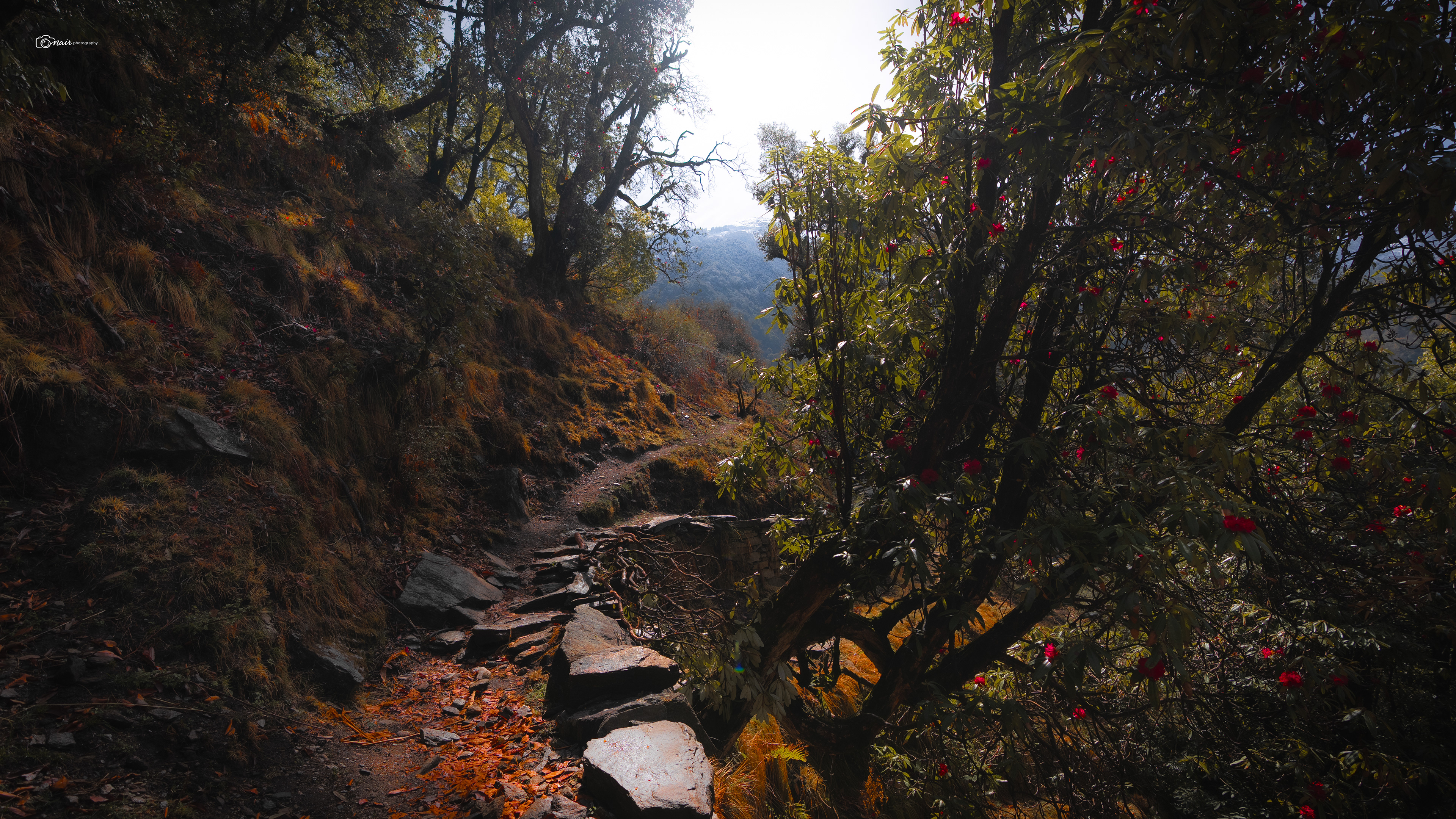
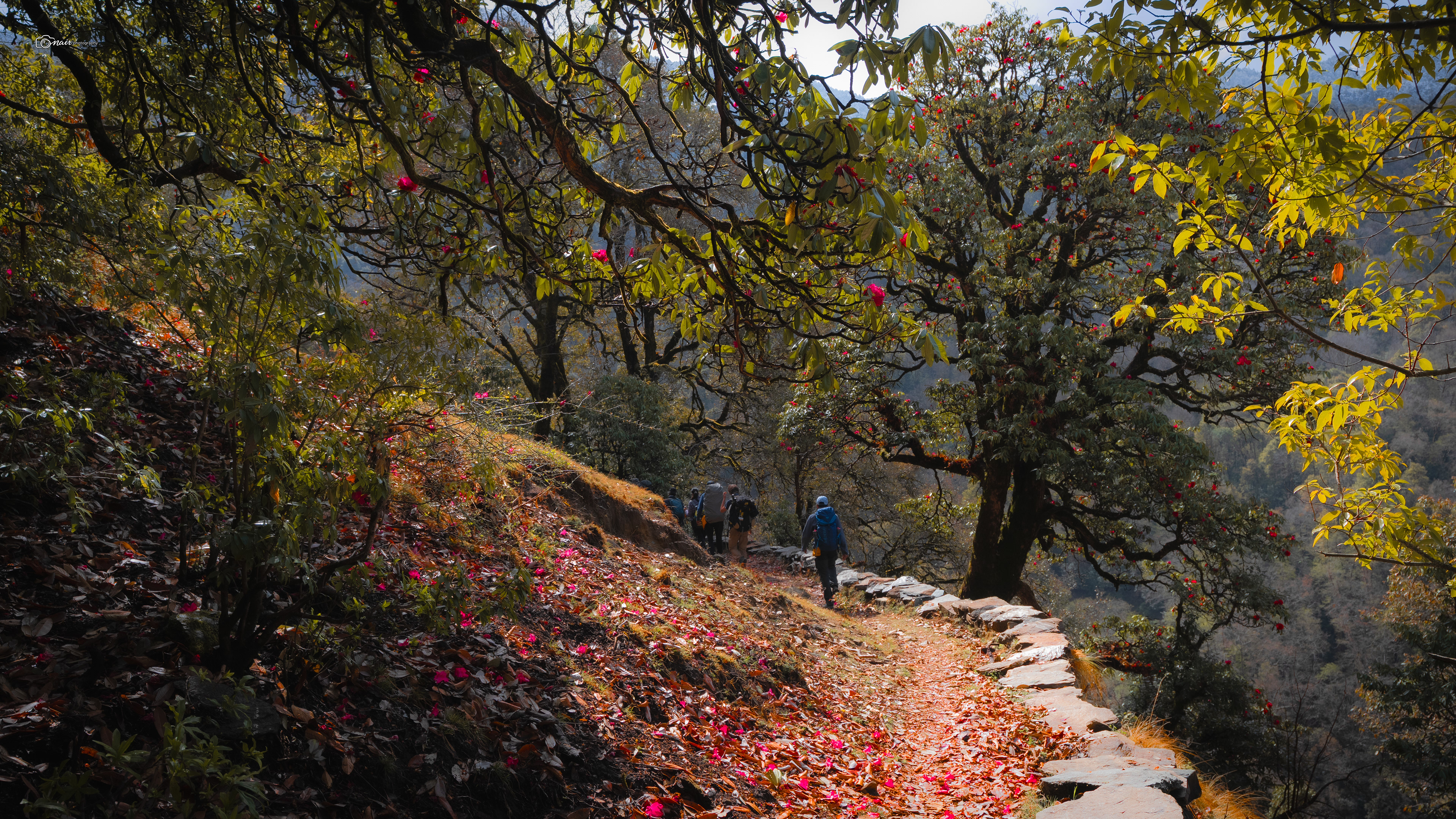
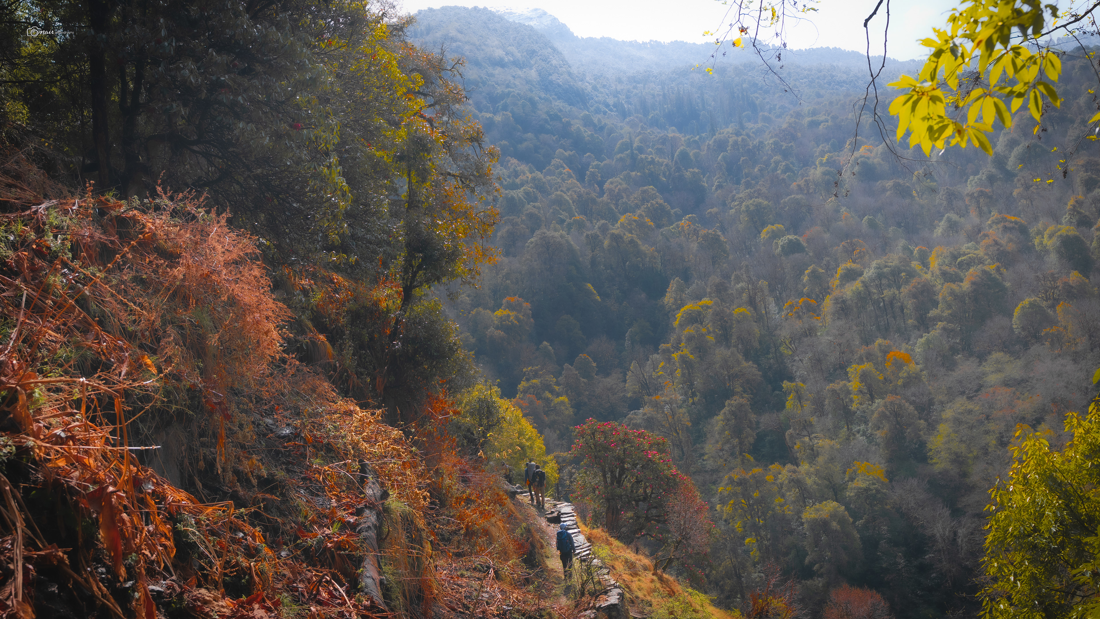
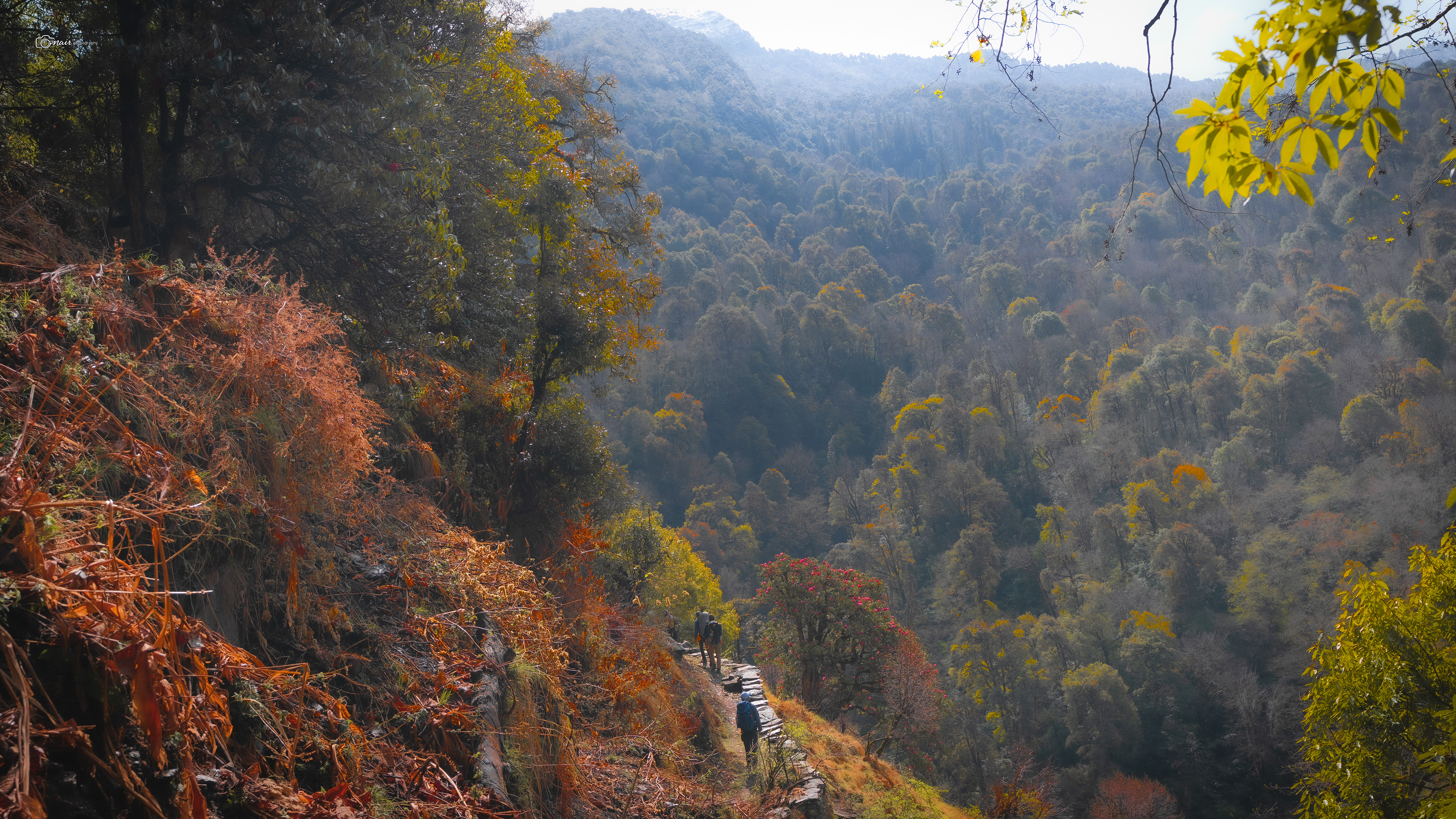
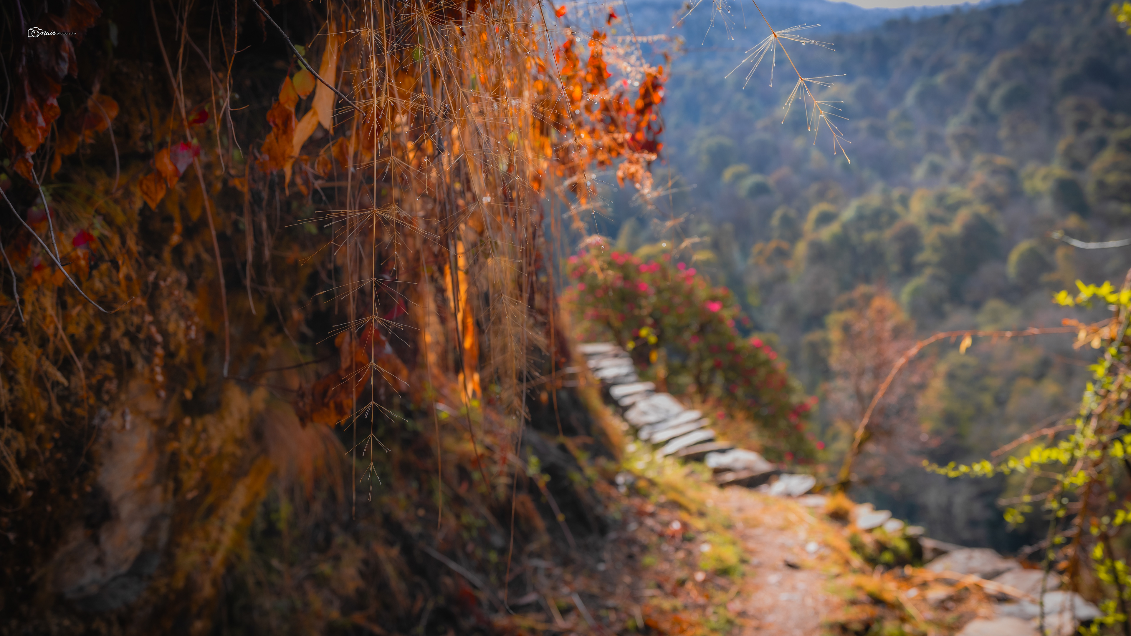
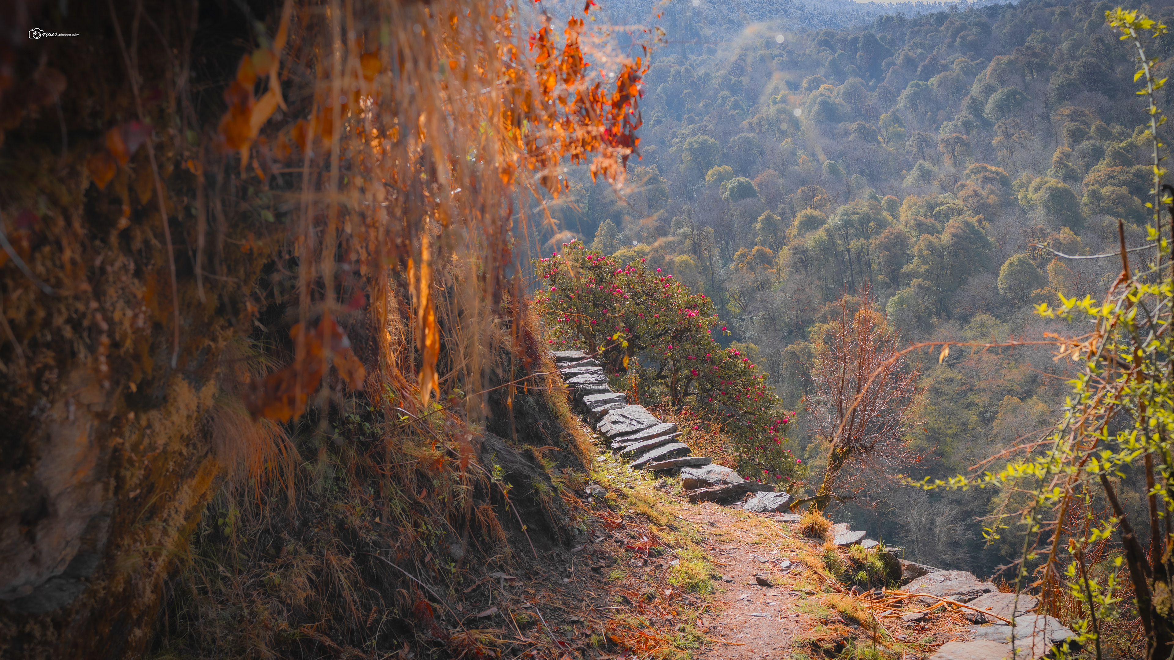
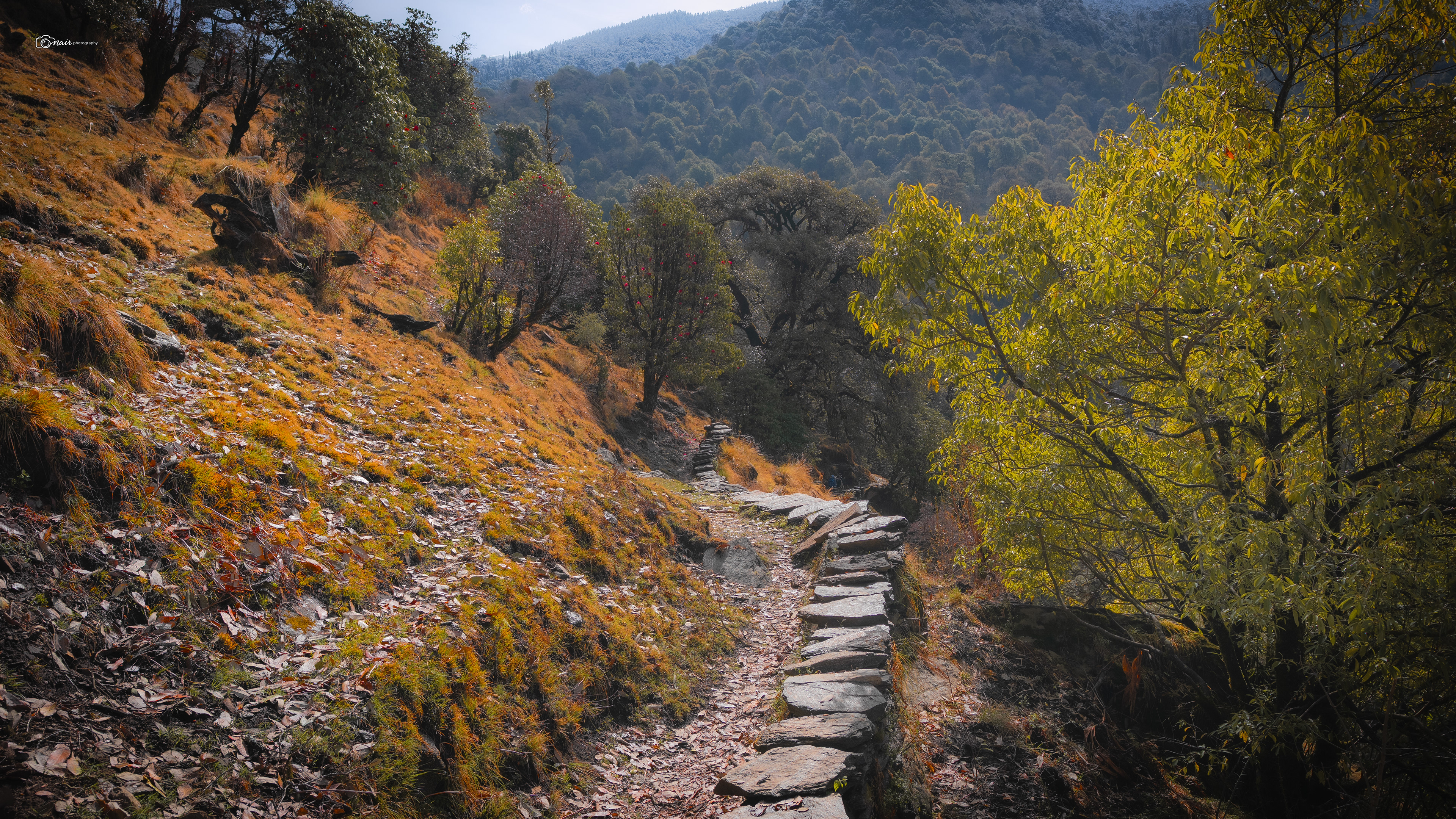
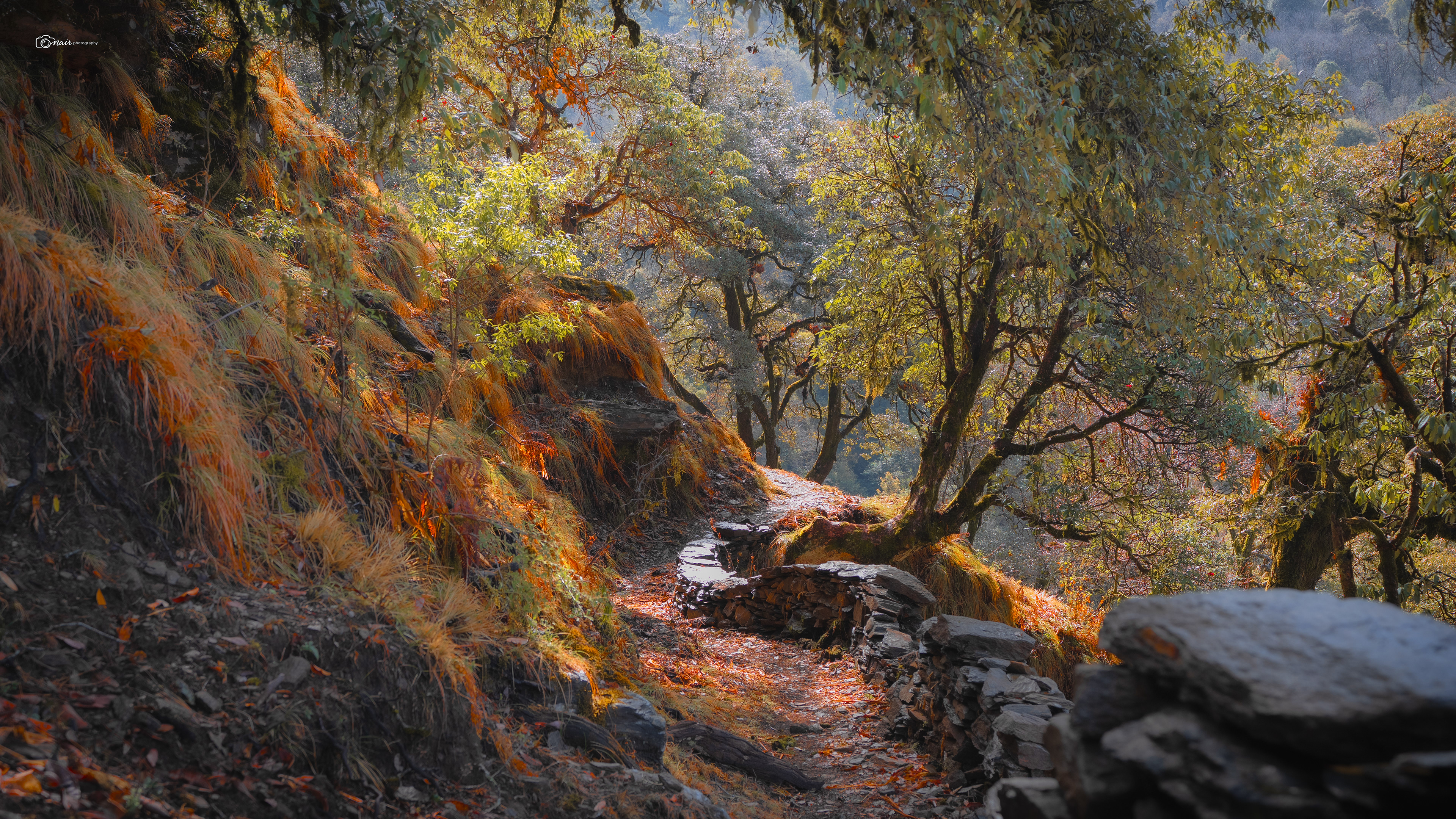
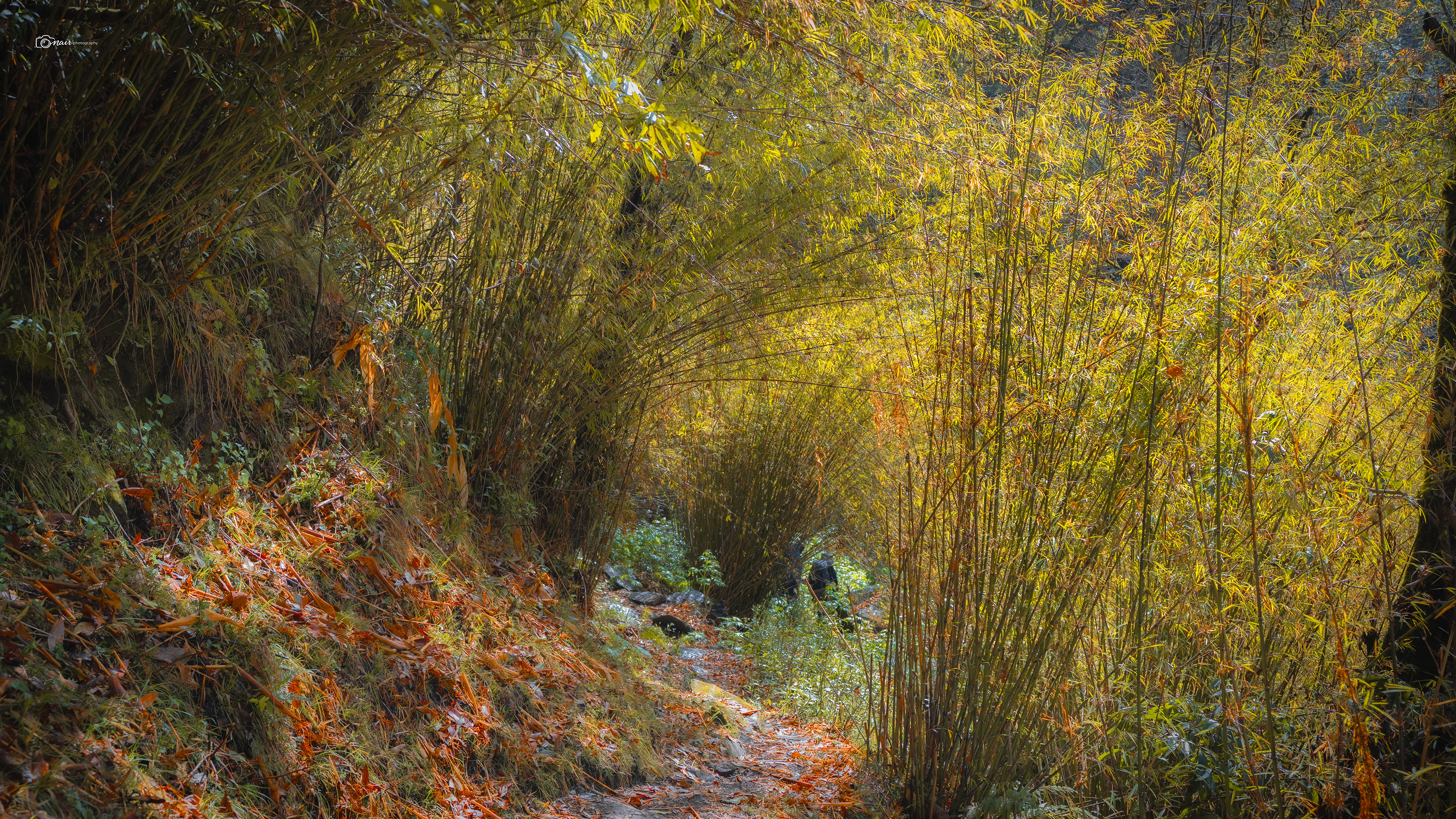
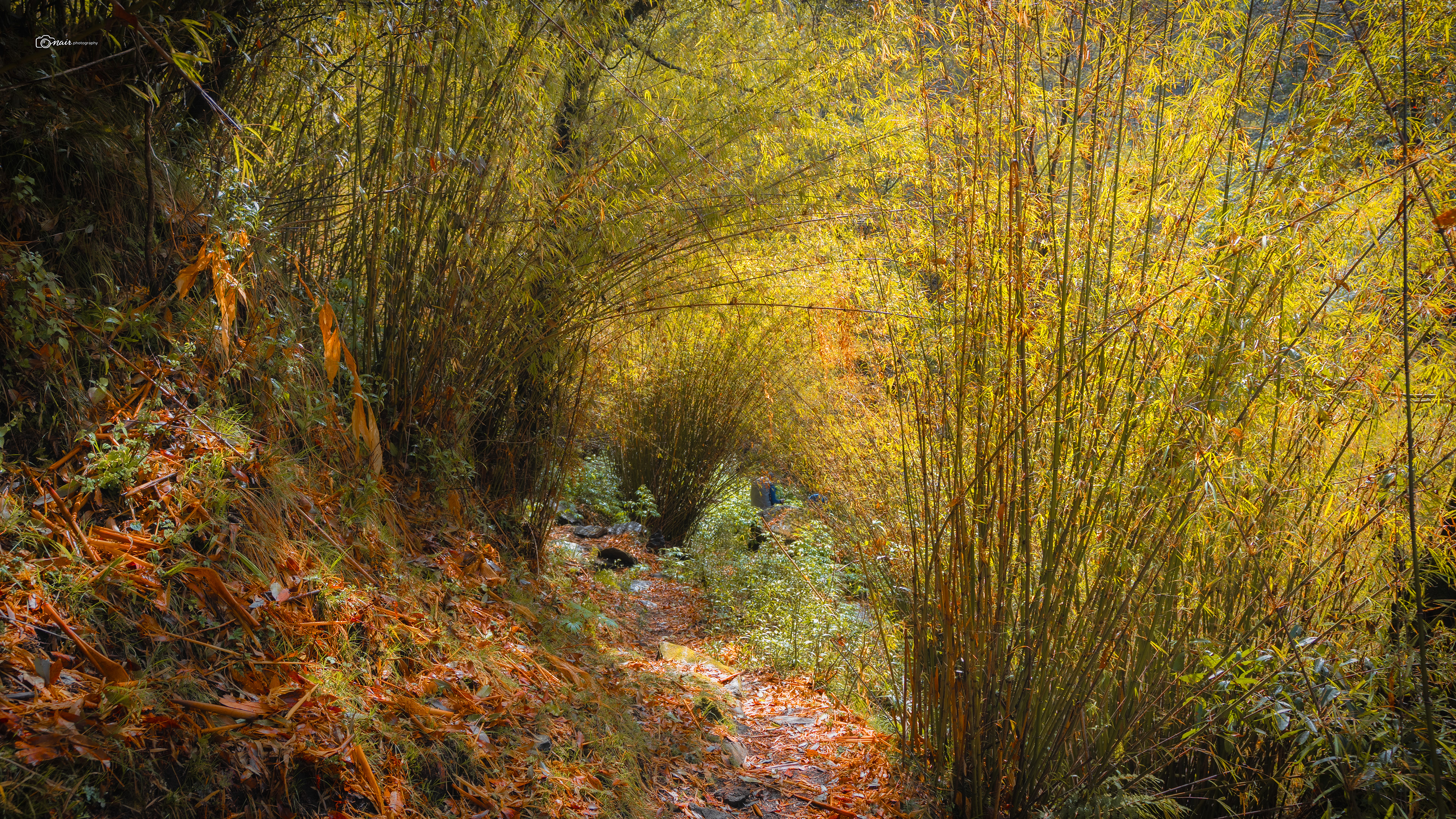
A short walk through the bamboo brought us to the river. The sound of birds chirping, water flowing over rocks, the whole place had a pure zen energy to it. But the river was low, too low for this time of year. Global warming again. Our guide Anil stopped us before we crossed and said something that stuck with me. Do not dip your shoes in this water. This stream is the sole source of drinking water for the villages below the hill. It would not be right to put your feet in someone else's water. Simple words, but they carried a weight that made all of us pause and think.
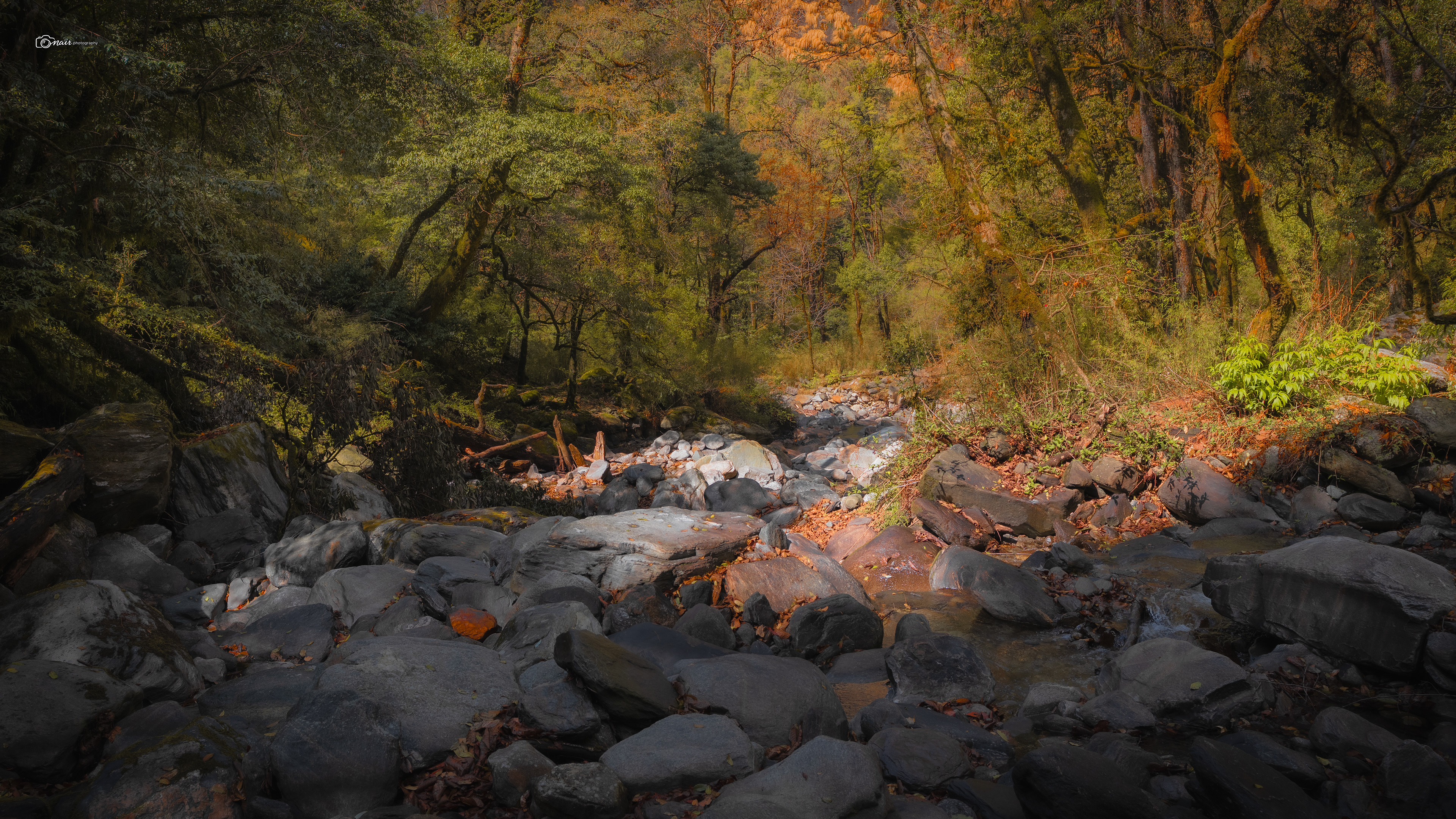
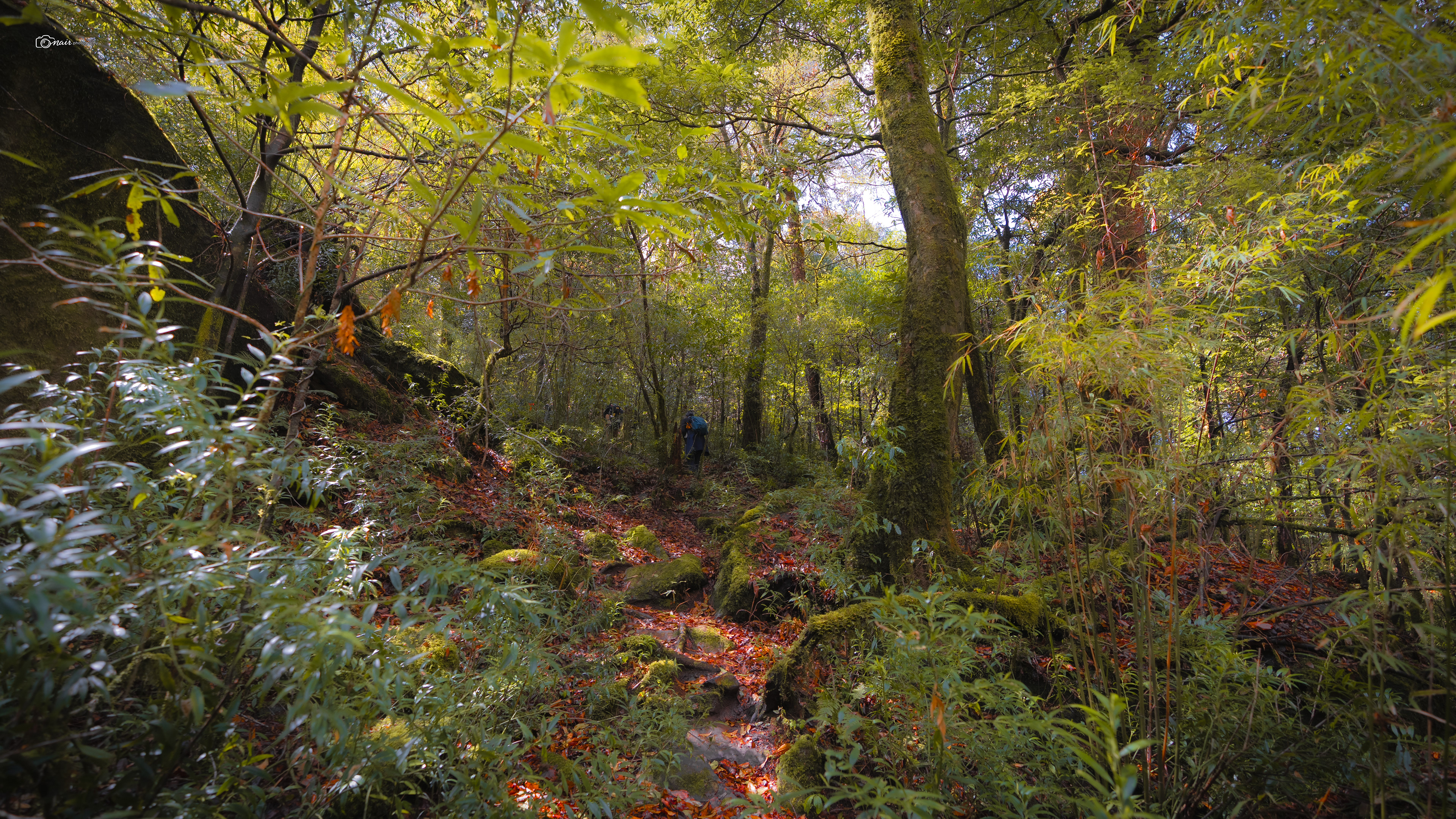
After crossing the small bridge over the Akashkamini, the real climb began. Three steep scissor bends, one after another, pushing us higher and higher through the dense forest. Anil was kind enough to keep our minds off the burn by pointing out wild bear claw marks on the tree trunks and showing us woodpecker holes drilled into the bark. Truth be told, I could not capture many photos during this ascent. My 6 plus kilogram camera gear was dragging me down with every step. Someone should probably remind me to pack smarter next time. But thankfully my trusty Pixel 8a was light enough to pull out, and I managed to capture this 360 of the forest around us. Take a look.
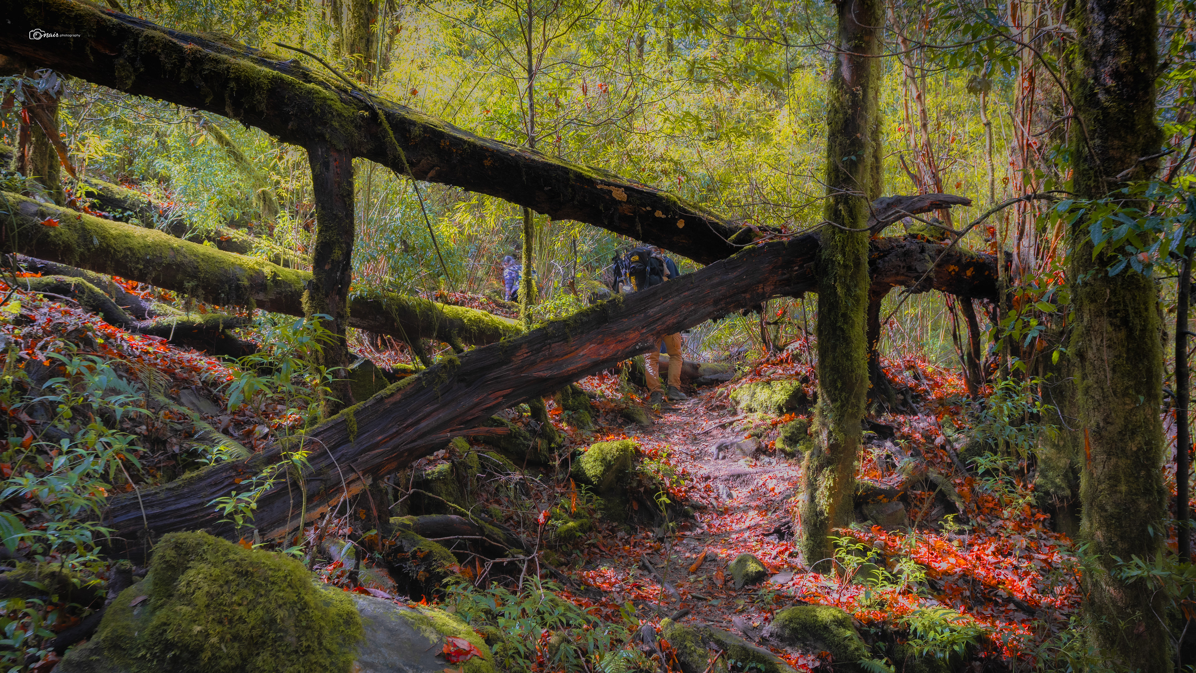
Finally, the forest opened up and we reached Shamkhudi Bugyal, a small meadow with a series of shepherd huts made entirely of stacked stones. A thin stream ran beside it where the sheep would drink. It was picture perfect. But Anil warned us that while it looks peaceful during the day, nights here are a different story. Being deep in the heart of the forest, bears and leopards roam freely after dark. We even spotted a skull lying near the huts, what was left of an unlucky sheep. A quick reminder of who really owns this land.
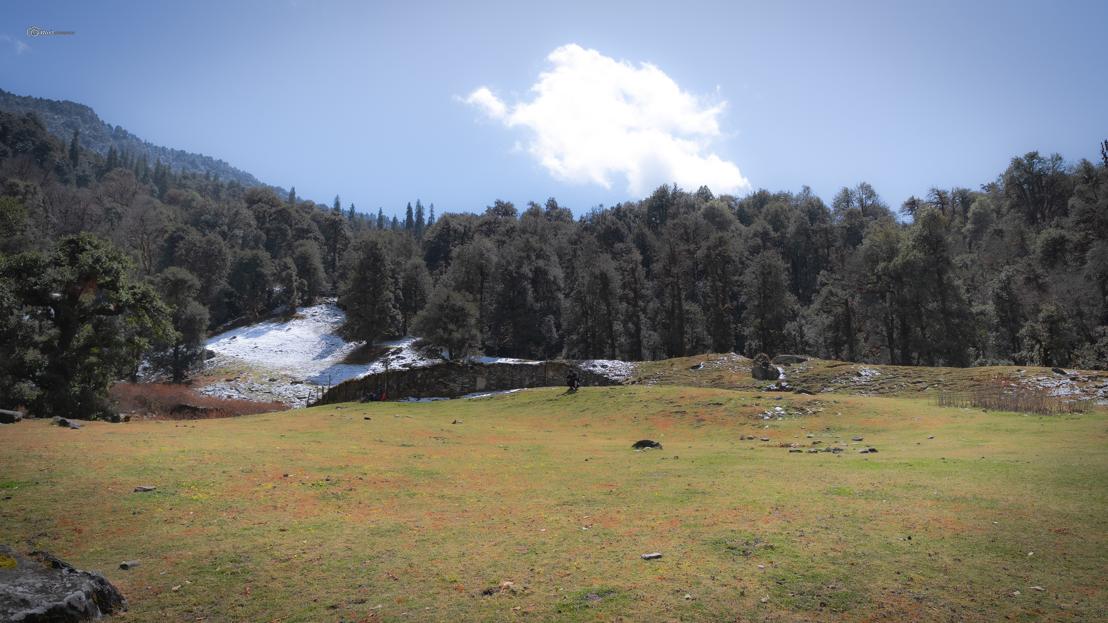
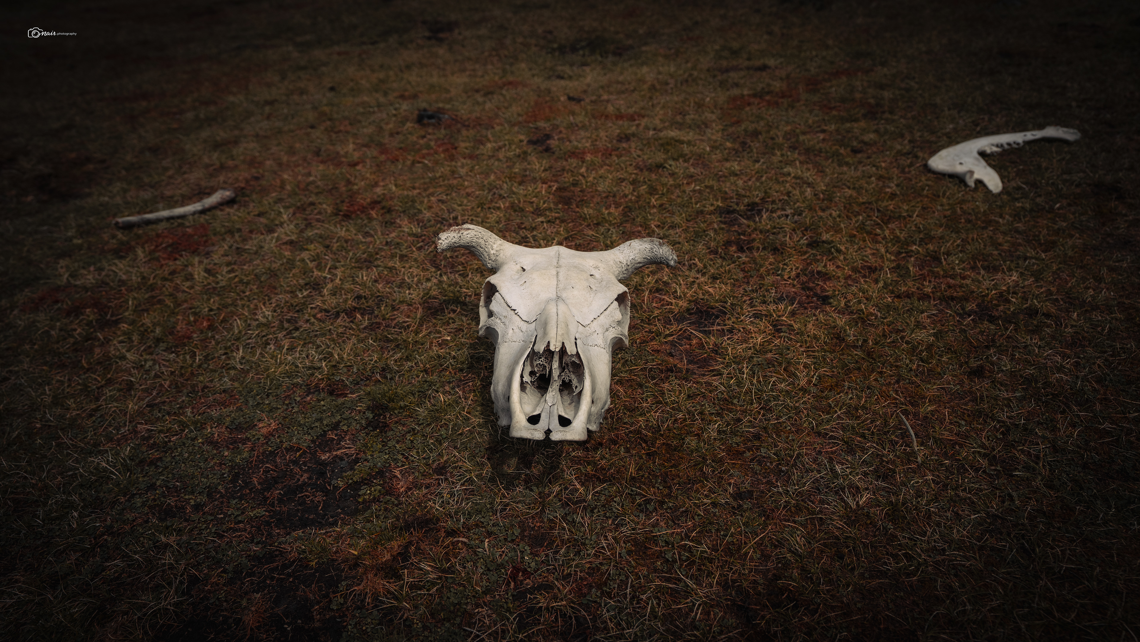
After a good rest, we pushed on and entered the forest again, planning to exit from the other side.
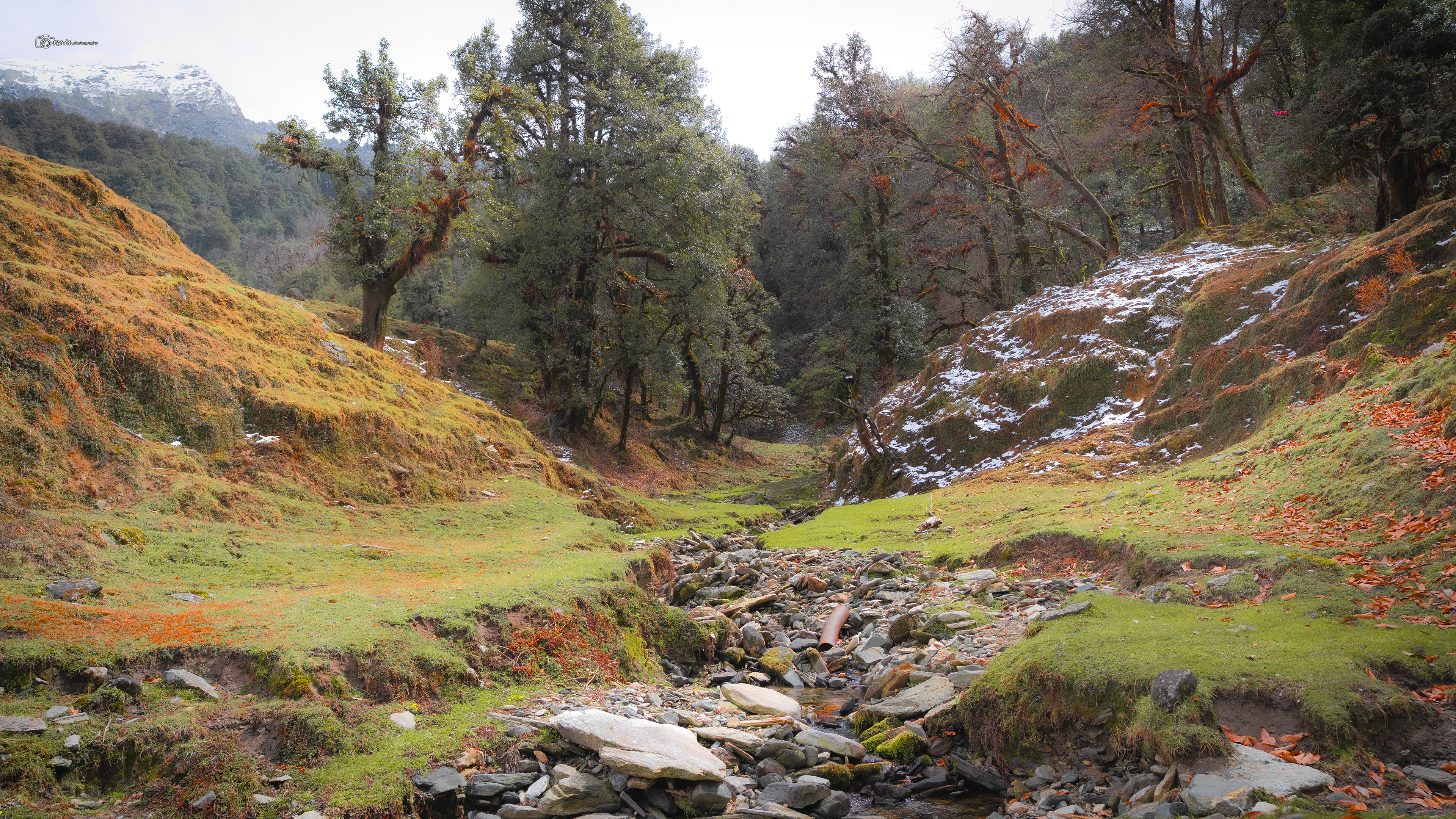
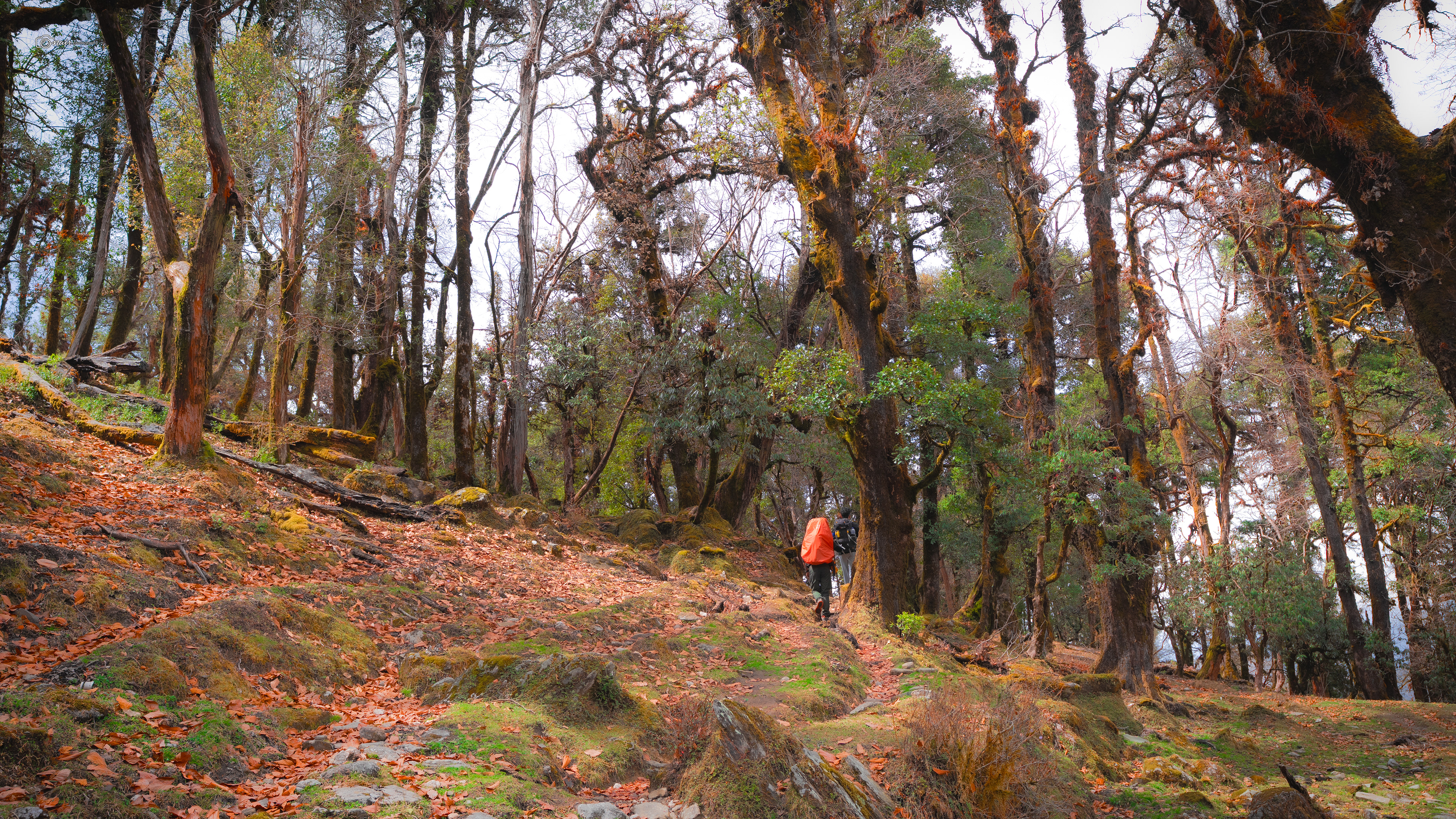
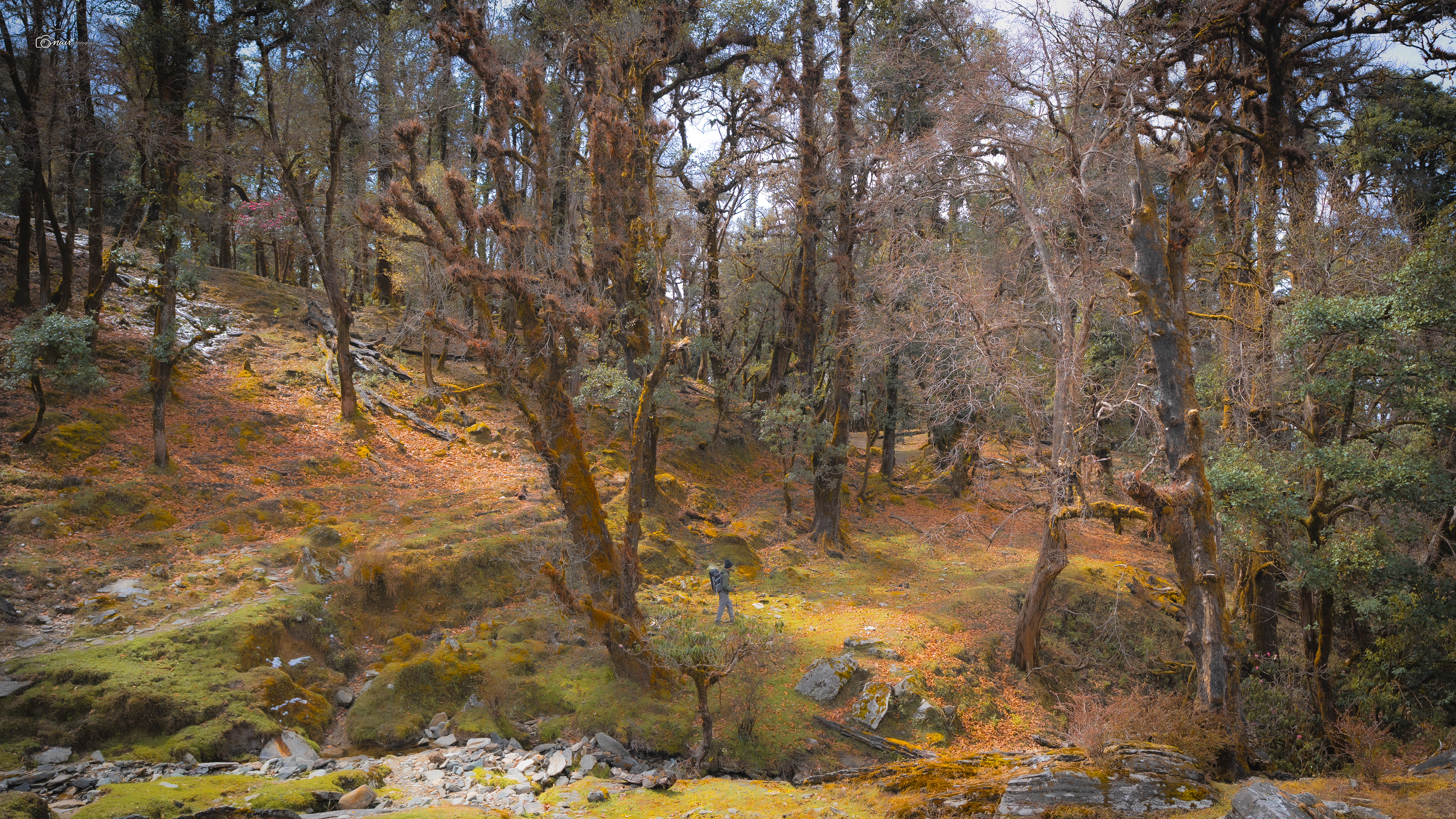
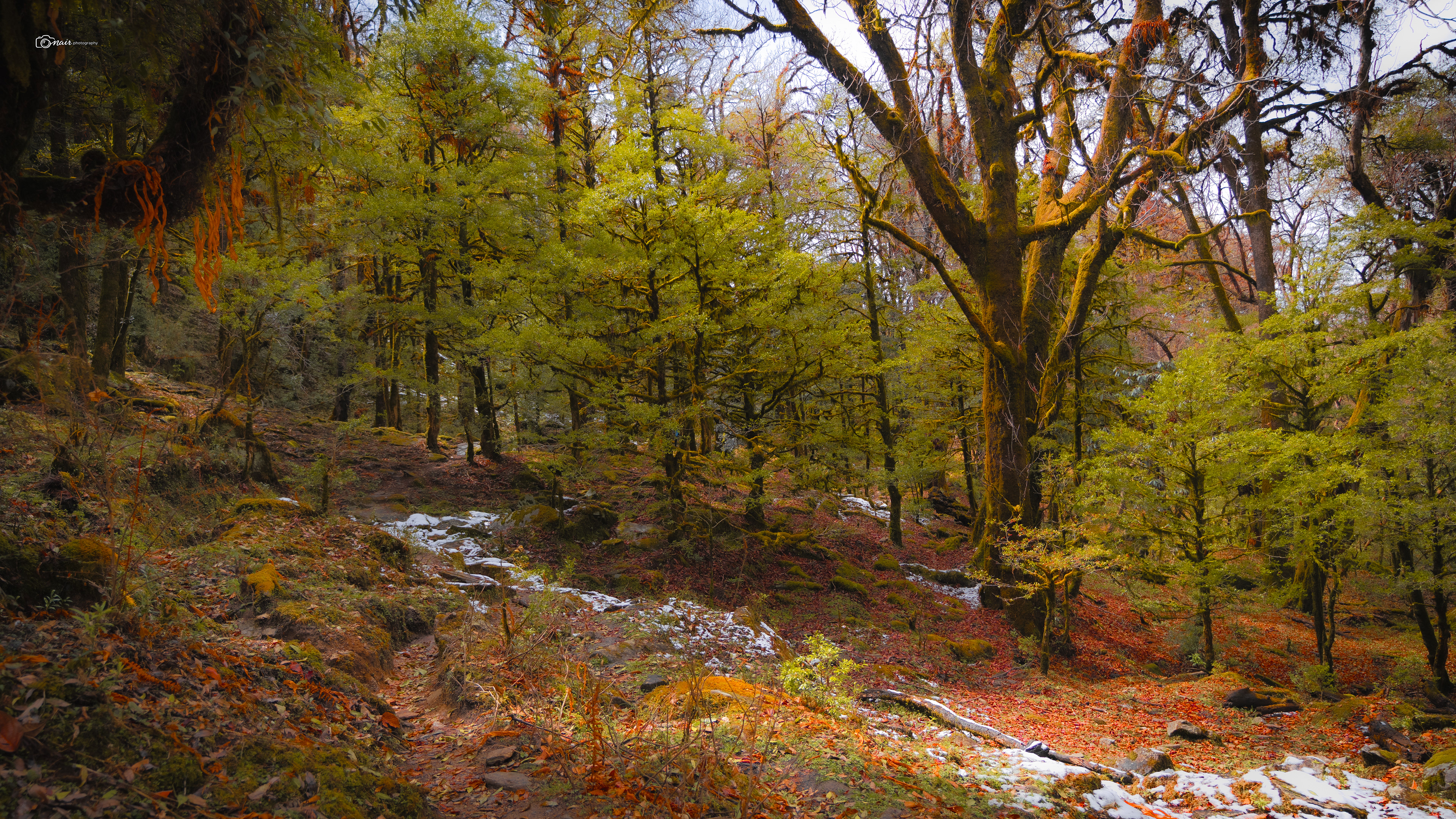
The trees here were covered in thick green moss, and this is where I learned something fascinating. Moss primarily grows on the north side of trees because that side gets the least sunlight, stays damp longer, and creates the perfect moist environment moss needs to thrive. So if you are ever lost in a forest and need to find direction, just look at the moss. Nature has its own compass built right into the bark. Pretty cool right?
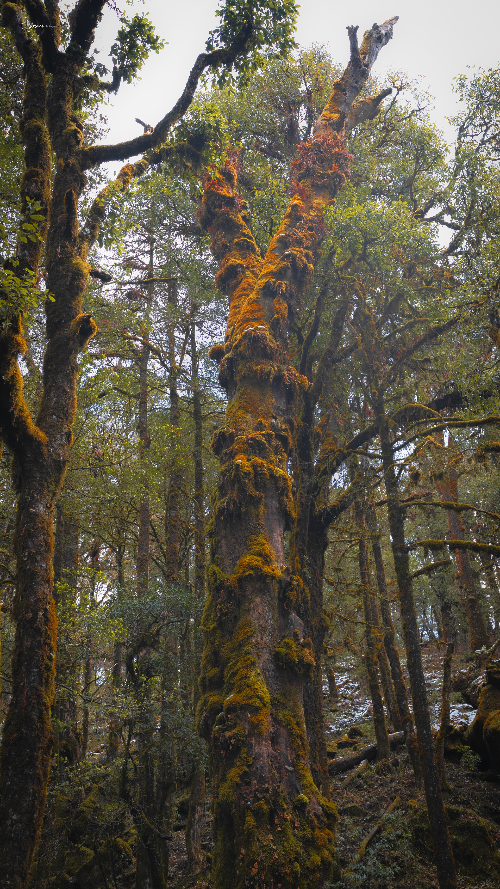
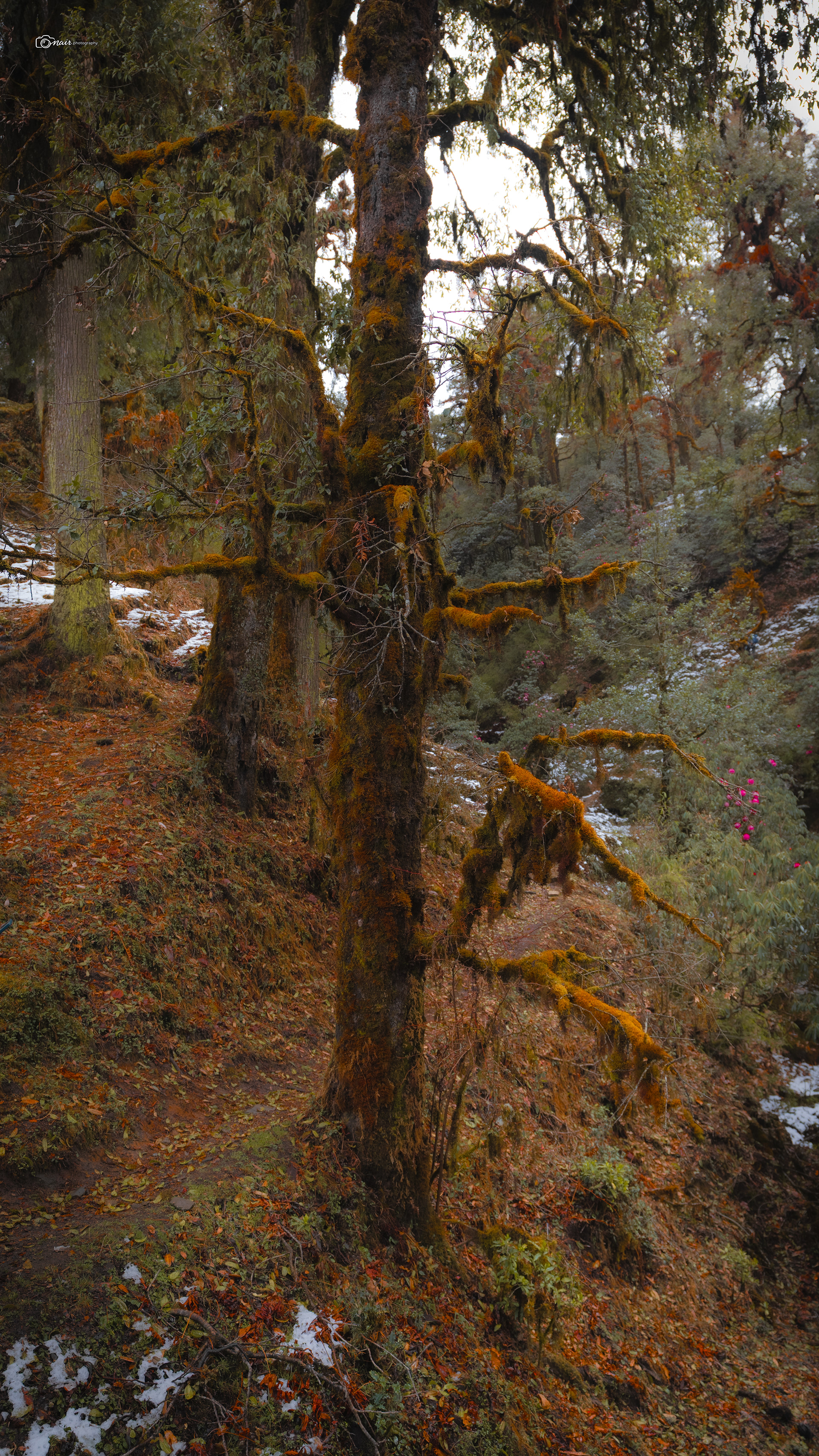
And then the trail opened into something I was not prepared for. We stepped into a rhododendron filled stretch where the ground was covered in fresh snow and the trees above were exploding with bright pink blooms. Snow on the ground, flowers in the air. It was surreal, like walking through two seasons at the same time. I stood there trying to take it all in, knowing no camera could truly capture what my eyes were seeing.
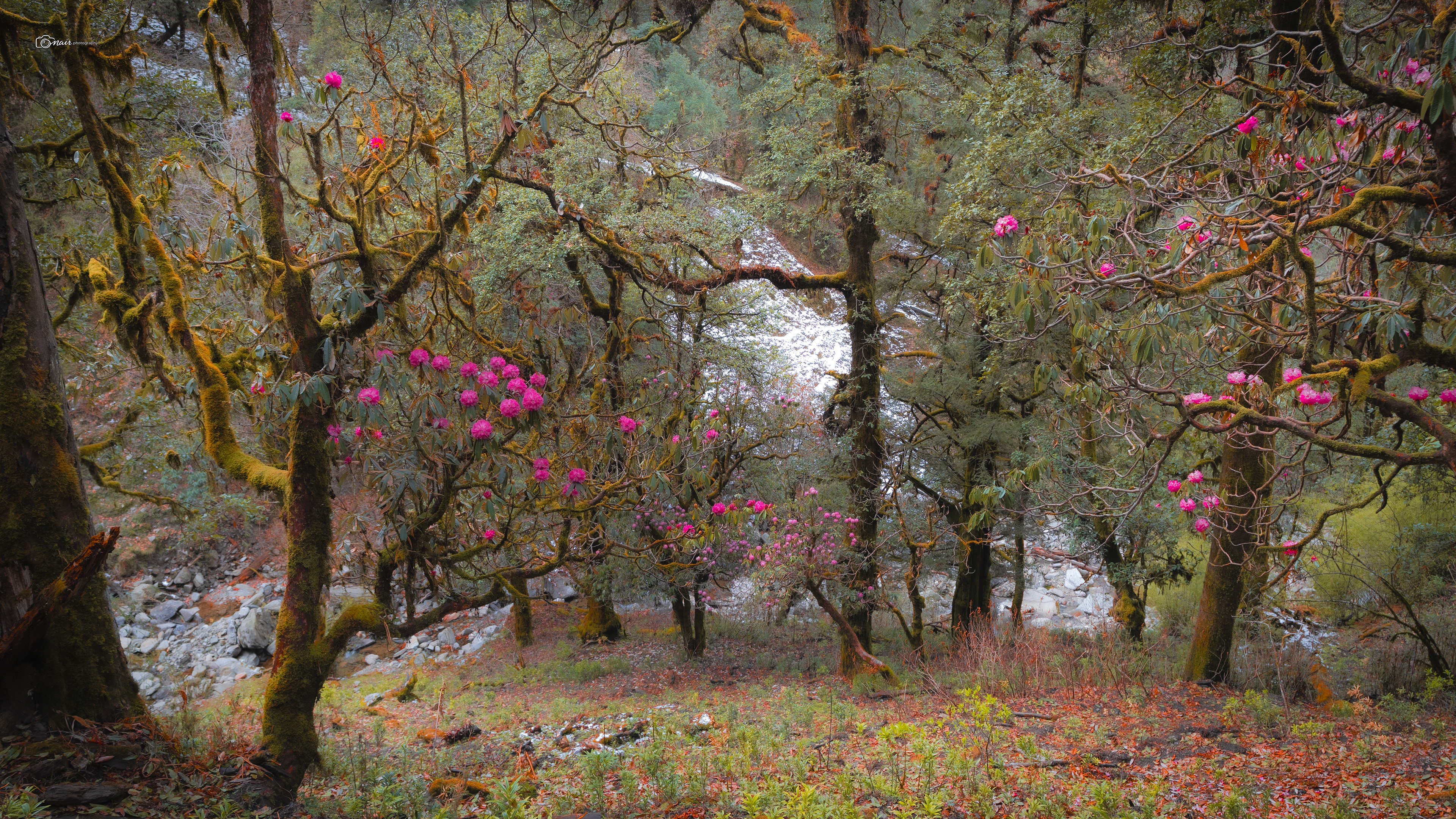
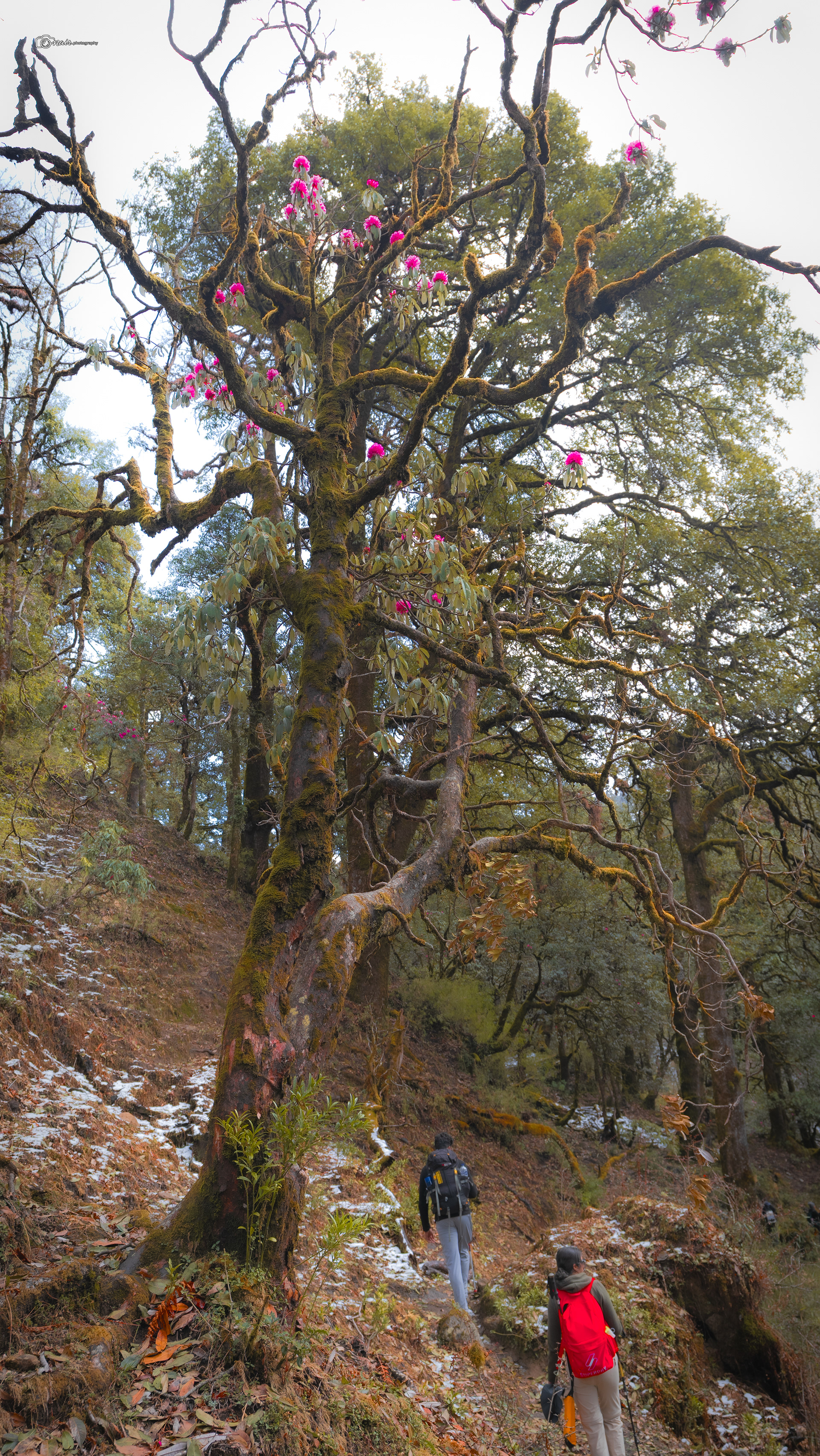
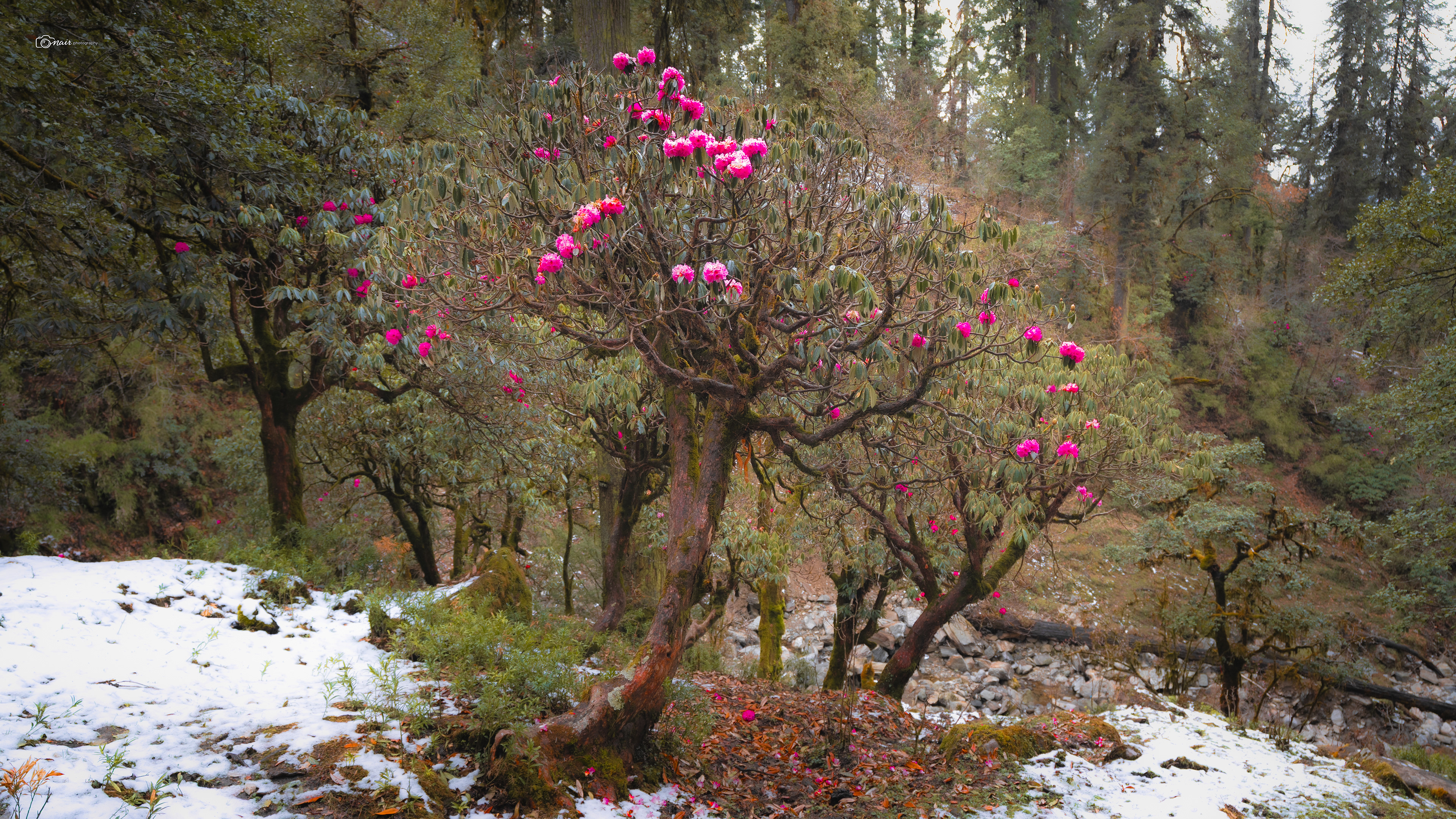
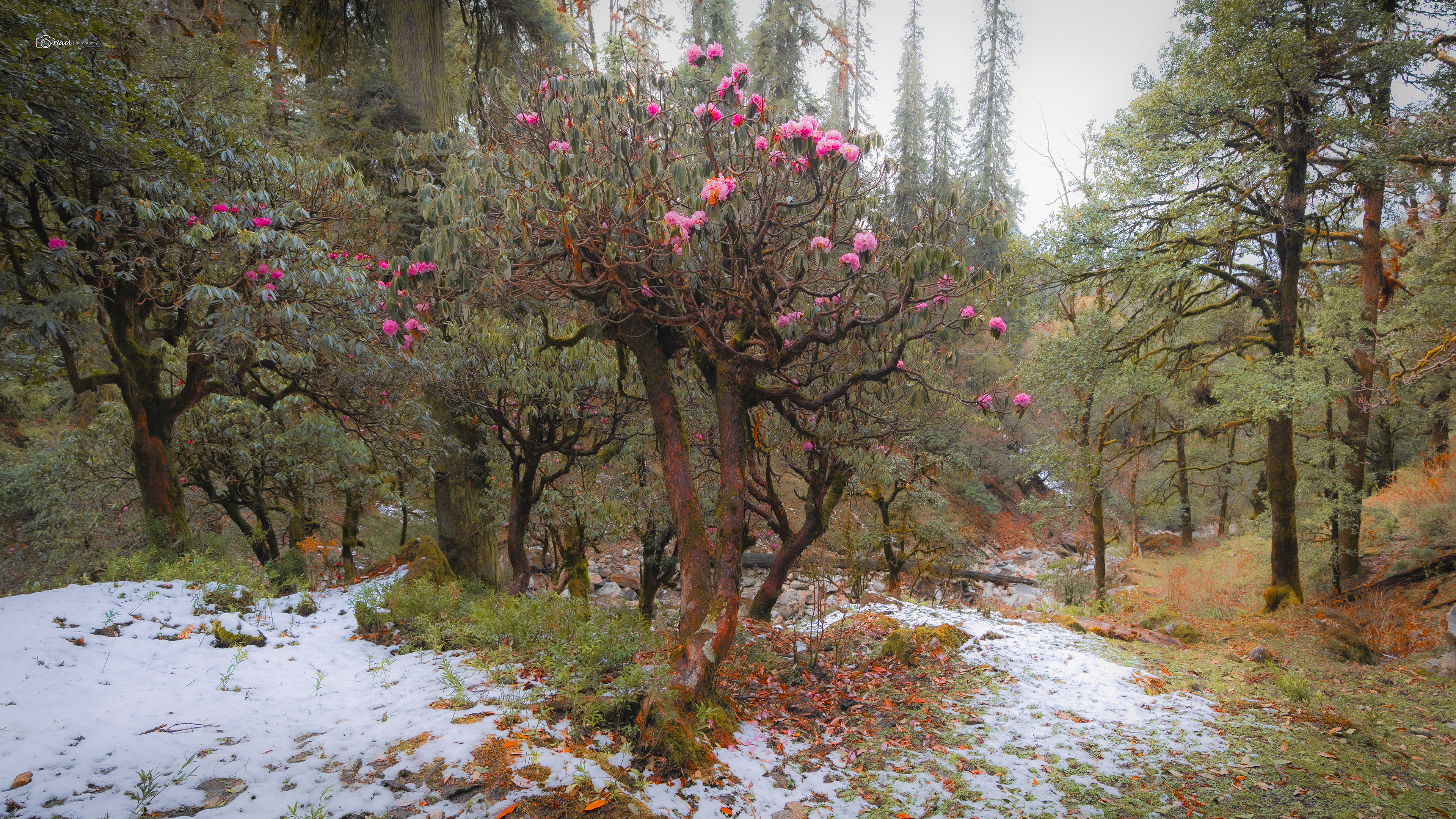
Just before we reached camp, we came across a gentle water stream flowing through the dense rhododendron forest, its banks half buried under fresh snow. I am pretty sure this was part of the Akashkamini, finding its way down through the trees from Chandrashila above.
The water was ice cold, crystal clear, and the sound of it trickling through the snow covered forest was something else entirely.
The water was ice cold, crystal clear, and the sound of it trickling through the snow covered forest was something else entirely.
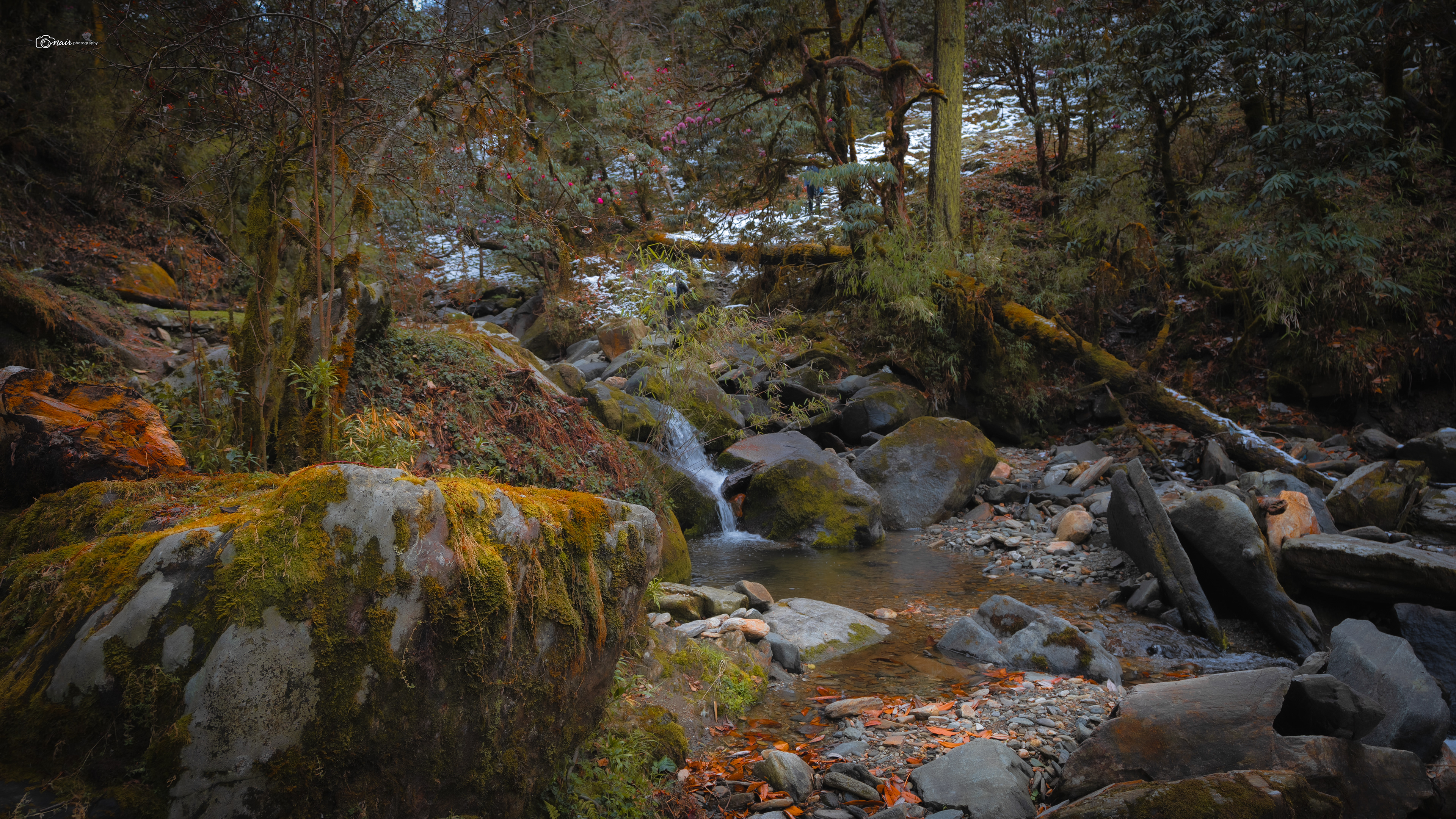
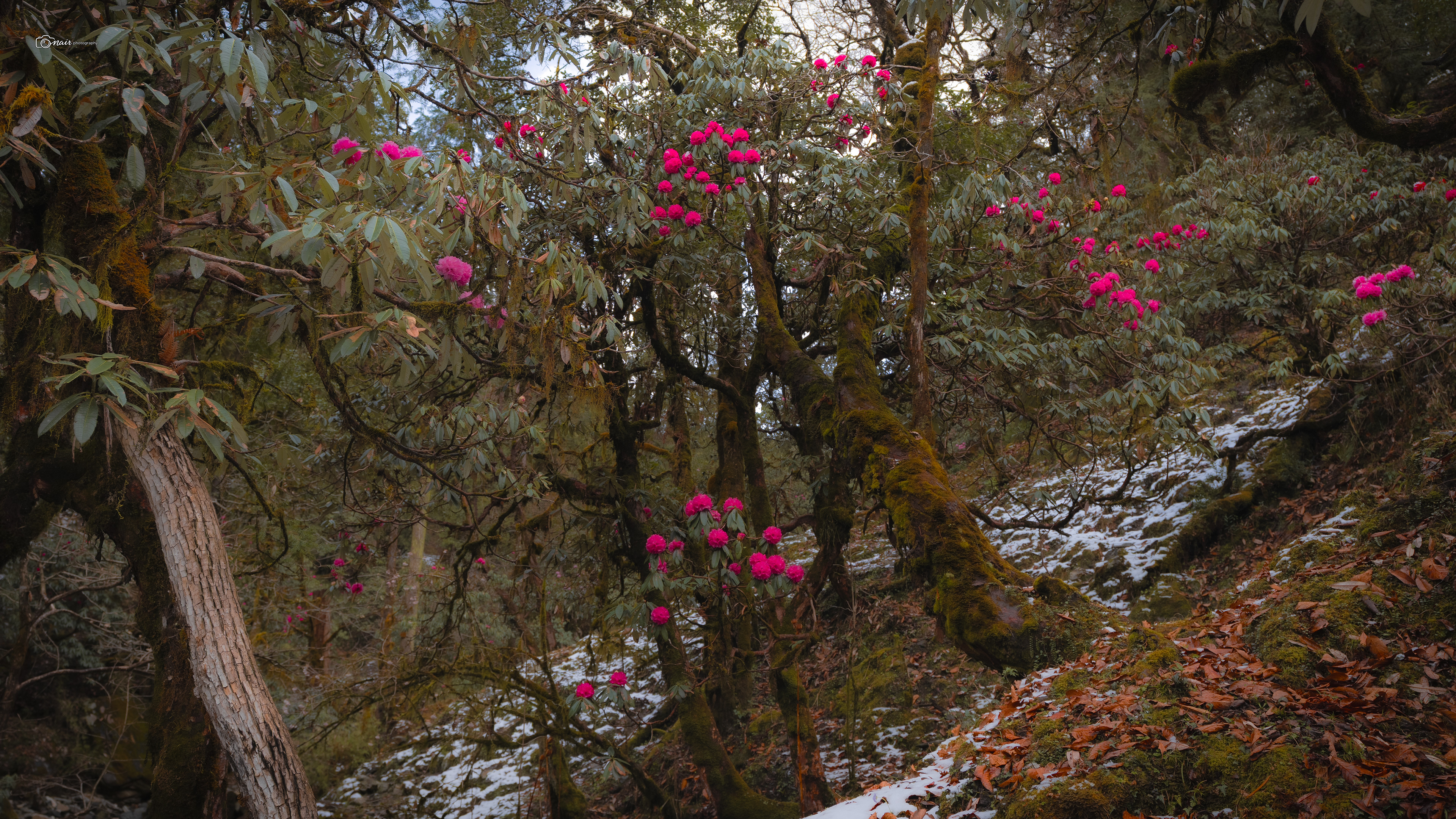
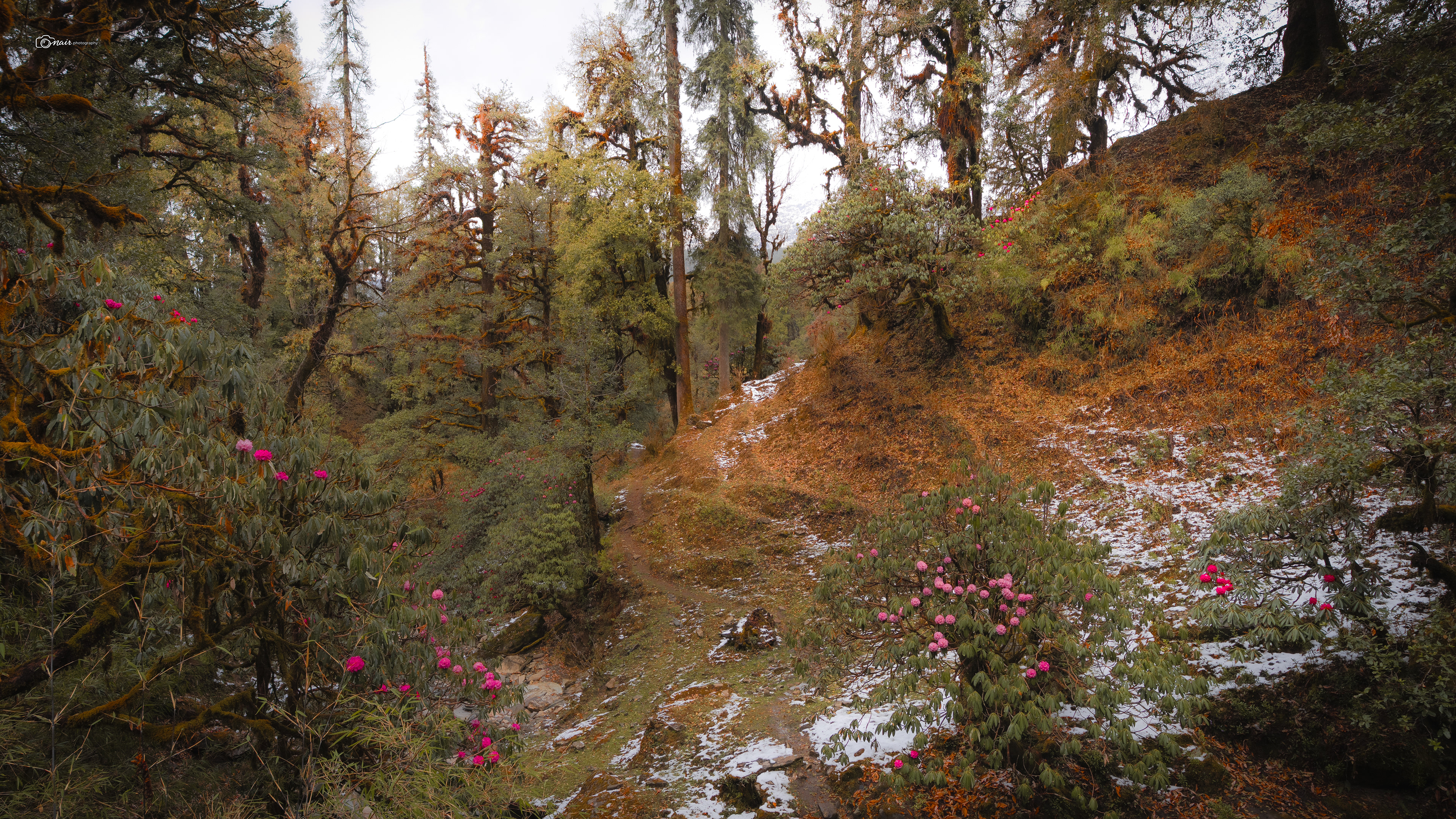
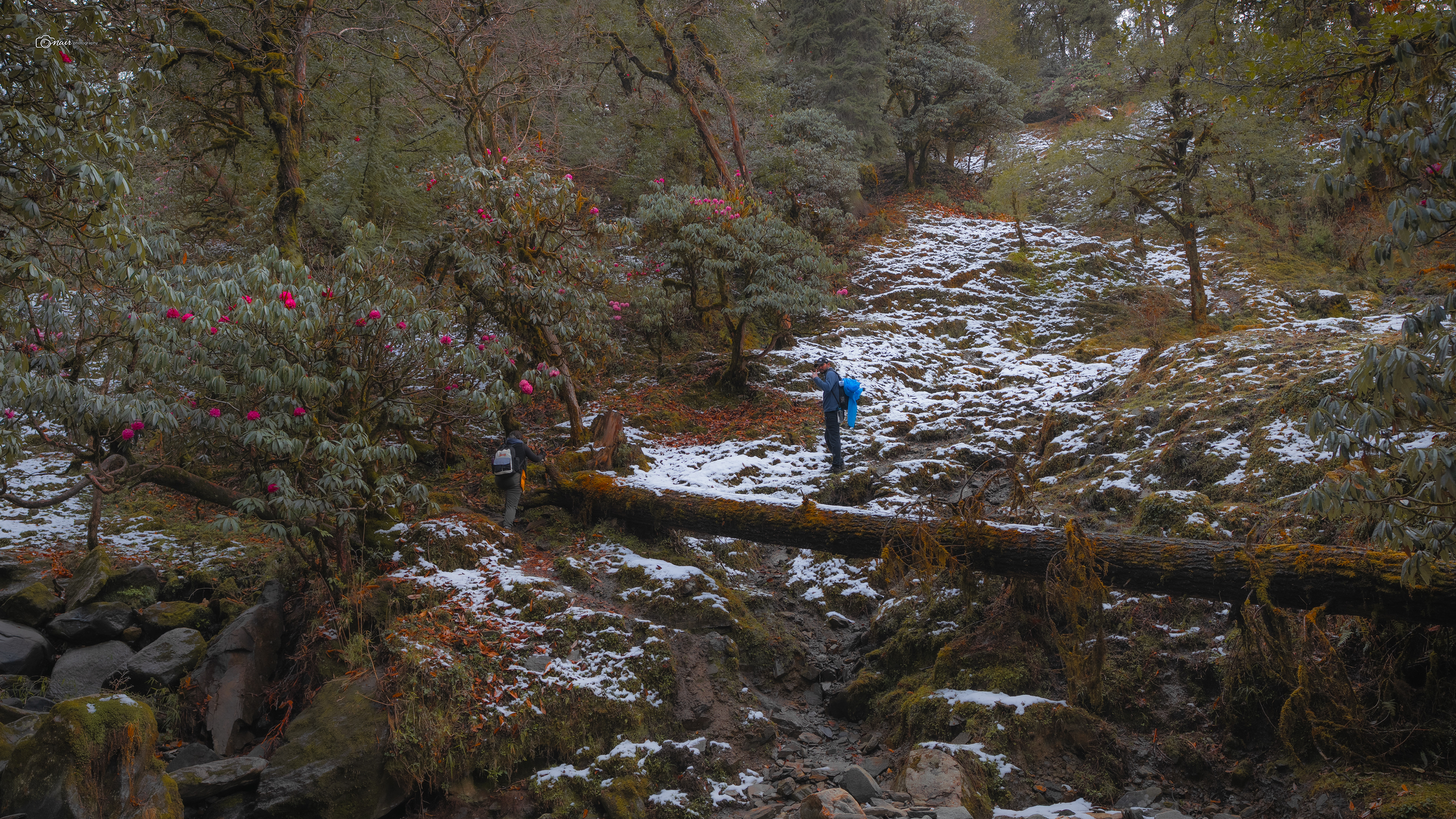
A little further ahead, we passed through a nursery of medicinal plants, carefully maintained by the locals who have been using these mountain herbs for generations.
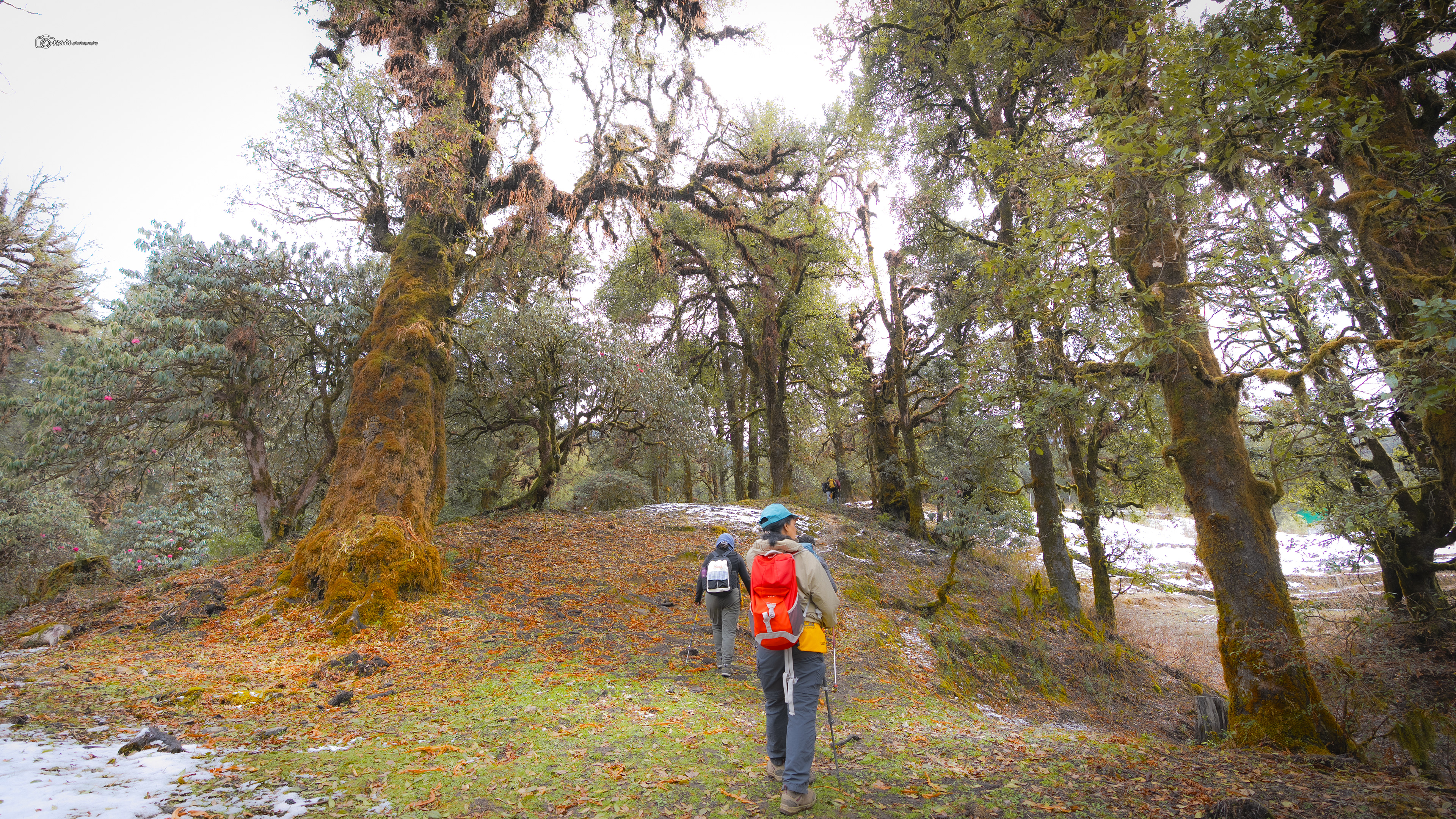
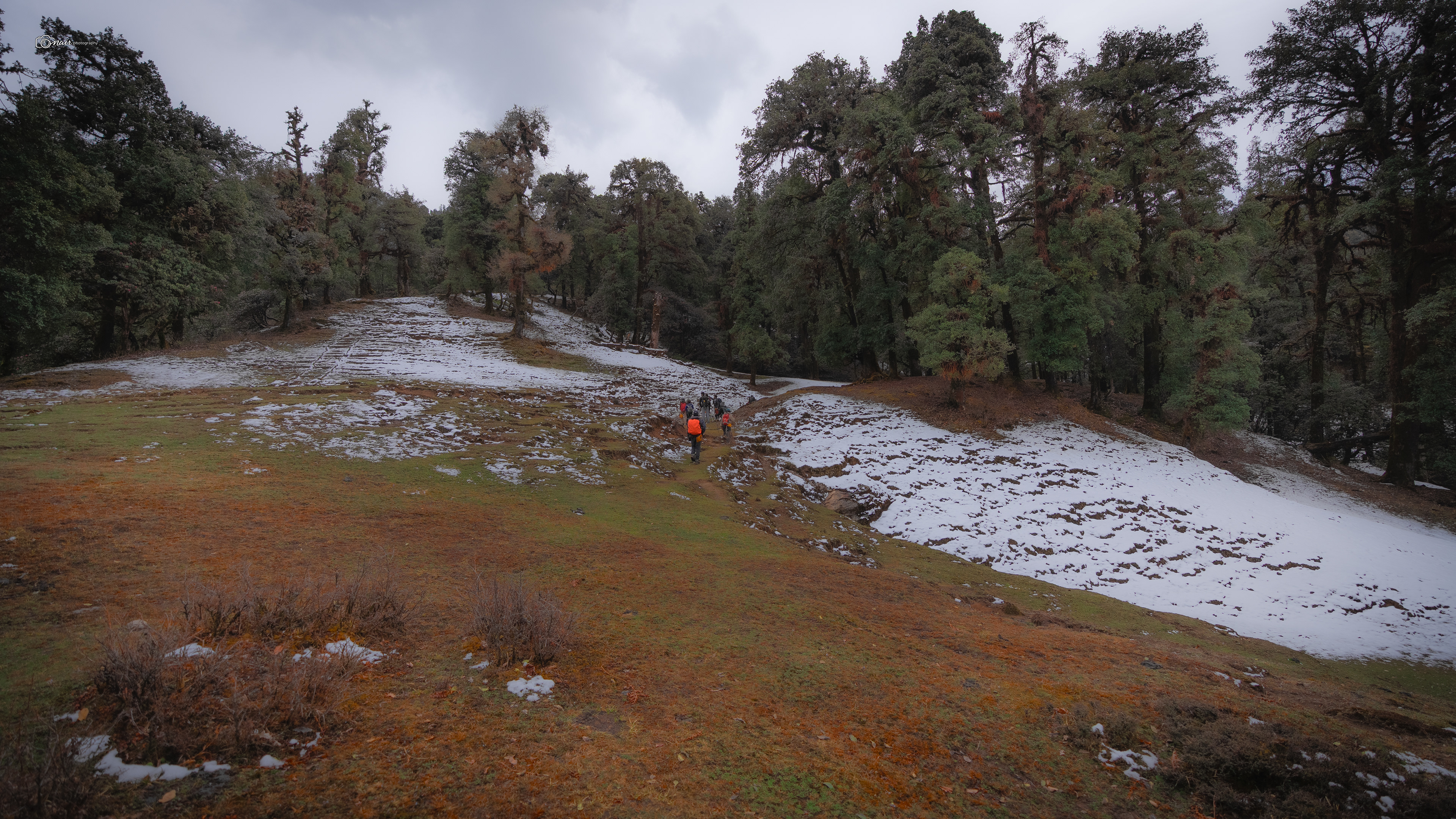
Crossing through this magical stretch, we finally arrived at the Baniya Kund summit camp. Tomorrow was the big day. Chandrashila was waiting.
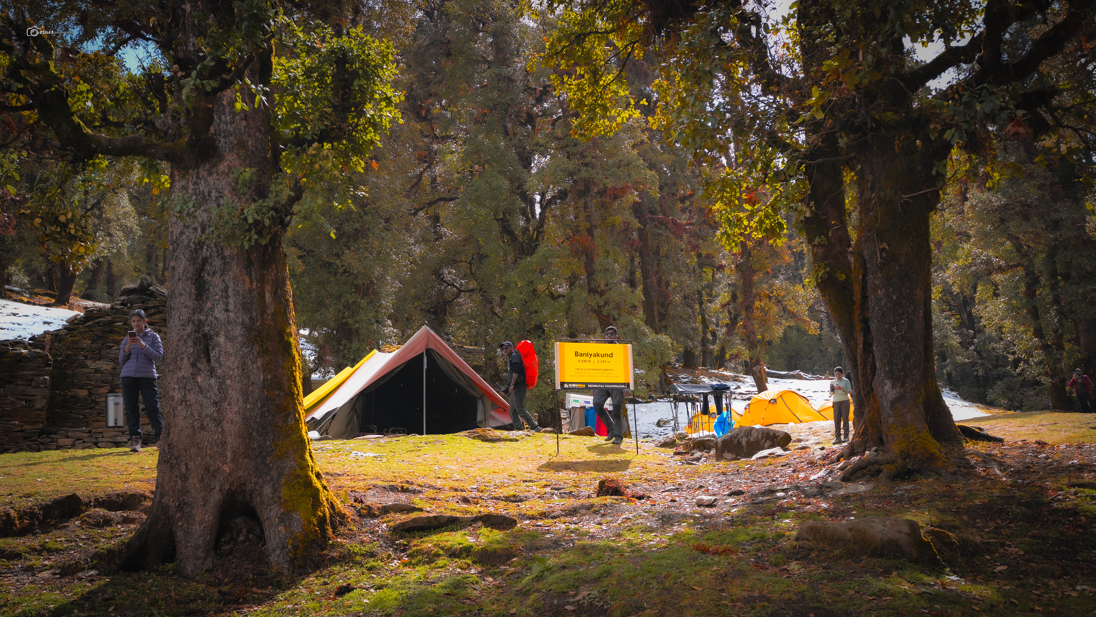
You know, growing up I was the kind of kid who would stare at a page full of words and struggle to picture anything in my head. While other kids my age could read a story and instantly see it playing out like a movie in their minds, I just could not.
My imagination needed a little help.
That is why I always loved picture books.
They gave me what words alone never could. They helped me see, helped me feel, helped me understand. And maybe, just maybe, that is exactly why I fell in love with photography.
Because I knew what it felt like to not be able to picture something. So I picked up a camera and decided to show the world what I saw through my eyes, so that no one else has to struggle to imagine it.
Every photo I take is a picture book page for someone out there who is just like the younger me. And while my camera can capture what is in front of me today, it cannot travel back thousands of years to show you what the time of the gods looked like. So for those ancient moments, those mythological stories that no camera could ever reach, I let AI paint the picture.
Because if a picture helped a young me understand the world better, maybe it can do the same for you too.
They gave me what words alone never could. They helped me see, helped me feel, helped me understand. And maybe, just maybe, that is exactly why I fell in love with photography.
Because I knew what it felt like to not be able to picture something. So I picked up a camera and decided to show the world what I saw through my eyes, so that no one else has to struggle to imagine it.
Every photo I take is a picture book page for someone out there who is just like the younger me. And while my camera can capture what is in front of me today, it cannot travel back thousands of years to show you what the time of the gods looked like. So for those ancient moments, those mythological stories that no camera could ever reach, I let AI paint the picture.
Because if a picture helped a young me understand the world better, maybe it can do the same for you too.
Ok Back to the story, remember when I told you I had a story about those two peaks staring at us from the campsite? Well, now is the time. Listen carefully. From the Baniya Kund campsite, two mighty mountains stood close to each other against the evening sky.
Chandrashila and Ravanshila. Just two peaks side by side, but the stories they carry go all the way back to the time of the gods. The name Chandrashila means Moon Rock, and true to its name, on a full moon night this peak glows silver like something not entirely of this earth. But why Moon Rock? There is a beautiful tale behind it. King Daksha Prajapati had twenty seven daughters, and all of them were married to Chandra, the Moon God. But Chandra loved only one of them, Rohini, and neglected the rest. This enraged King Daksha, who cursed Chandra with a terrible disease that slowly began to consume his light. Desperate and fading, Chandra came to this very peak and sat in deep penance to Lord Shiva, praying for liberation from the curse. Years and years he meditated, until finally Shiva was moved by his devotion and freed him from the disease, blessing him with his light and purity once again. Since that day, this peak has been known as Chandrashila, the Rock of the Moon. The place where the moon itself was healed.
Chandrashila and Ravanshila. Just two peaks side by side, but the stories they carry go all the way back to the time of the gods. The name Chandrashila means Moon Rock, and true to its name, on a full moon night this peak glows silver like something not entirely of this earth. But why Moon Rock? There is a beautiful tale behind it. King Daksha Prajapati had twenty seven daughters, and all of them were married to Chandra, the Moon God. But Chandra loved only one of them, Rohini, and neglected the rest. This enraged King Daksha, who cursed Chandra with a terrible disease that slowly began to consume his light. Desperate and fading, Chandra came to this very peak and sat in deep penance to Lord Shiva, praying for liberation from the curse. Years and years he meditated, until finally Shiva was moved by his devotion and freed him from the disease, blessing him with his light and purity once again. Since that day, this peak has been known as Chandrashila, the Rock of the Moon. The place where the moon itself was healed.
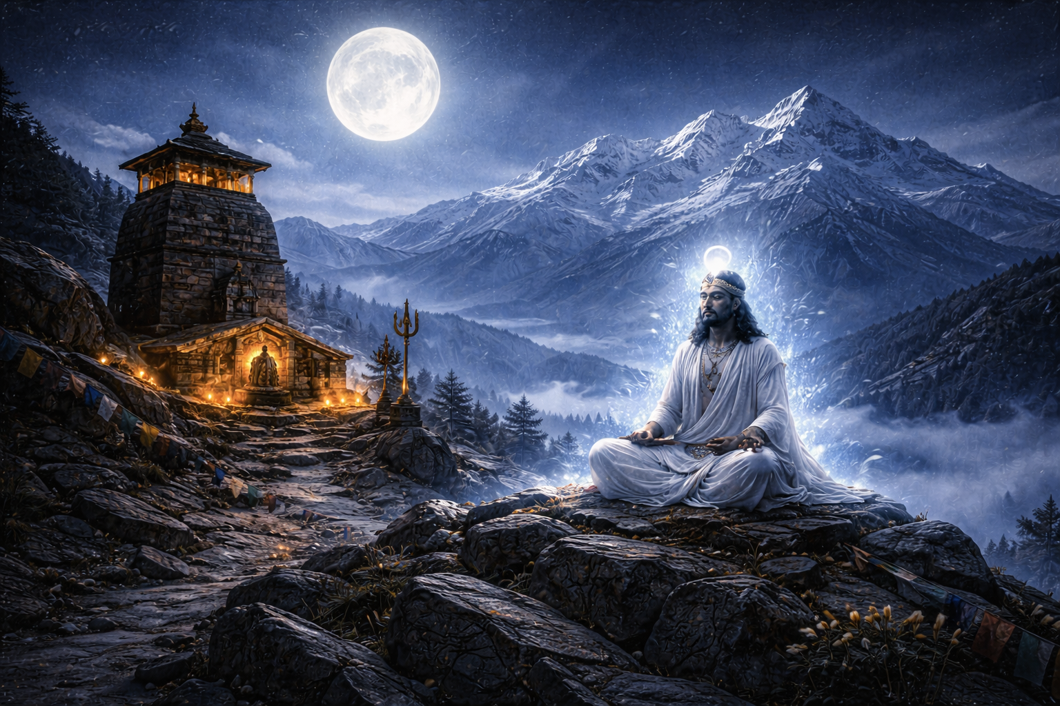
AI Generated
But that is not the only story this summit holds. According to ancient Hindu legends, after Lord Rama defeated the demon king Ravana in the great war of Lanka, he came to the top of Chandrashila to meditate. The weight of the war, the act of taking a life even if it was a demon's life, troubled his soul. He sought forgiveness and peace at this height where the earth nearly touches the sky. Some stories even say that Goddess Sita accompanied him for a time, and her prayers sanctified this land even further.
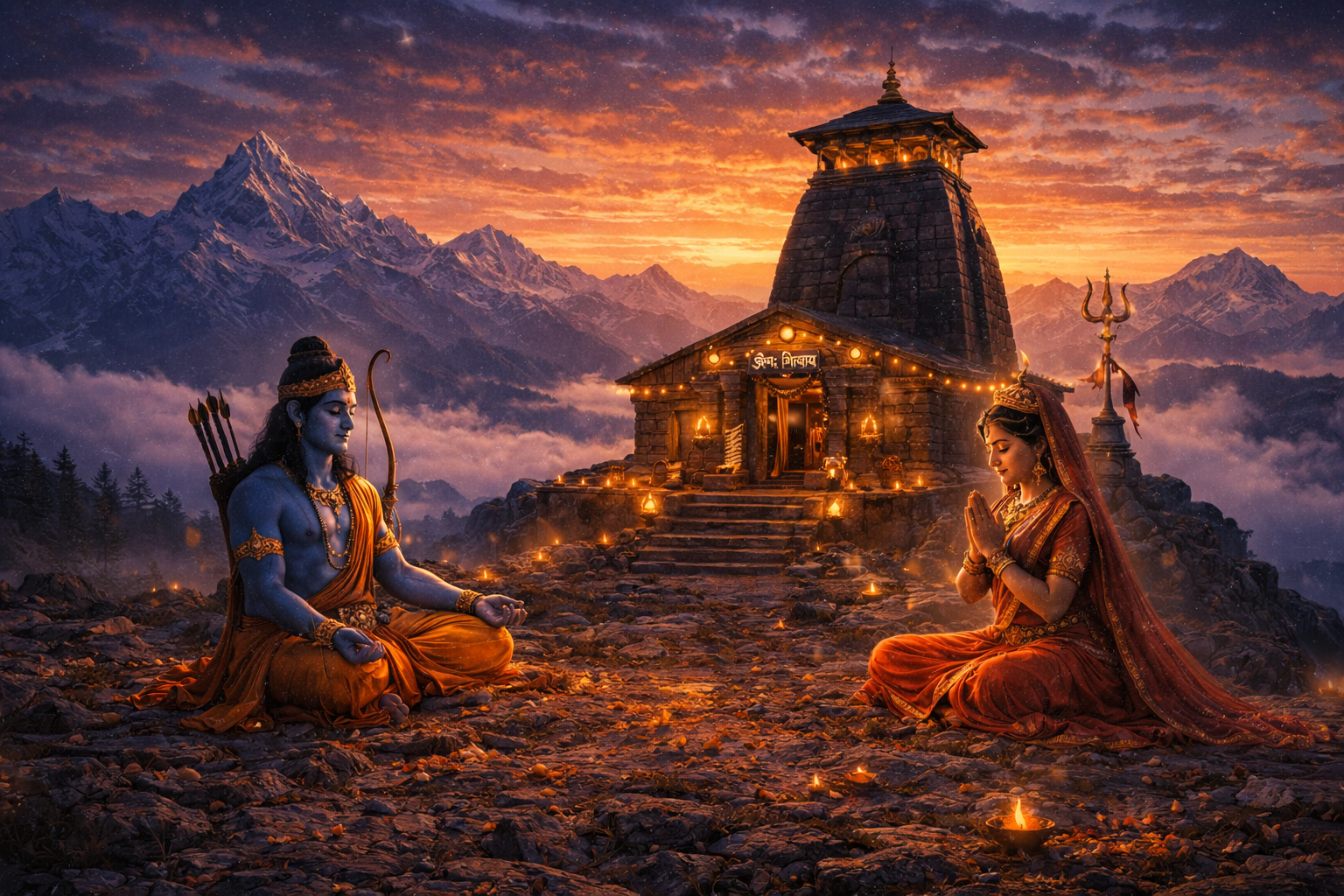
AI Generated
And then there is the Shiva connection, which ties everything together. Remember when I told you that every corner of Uttarakhand traces back to either Shiva or the Pandavas? Well here it is again. After the Mahabharata war, the Pandavas sought Lord Shiva to ask for forgiveness for the bloodshed. But Shiva did not want to be found. He disguised himself as a bull and tried to disappear into the earth. As he dove into the ground, different parts of his body appeared at five different locations across these mountains. These became the five Panch Kedar shrines. His arms are believed to have appeared at Tungnath, the temple sitting just below the Chandrashila summit. That is why Tungnath is one of the holiest temples in all of Uttarakhand, and the Chandrashila peak above it became a sacred meditation spot dedicated to Shiva's divine energy. So tomorrow, when we climb up to that summit, know that we are not just walking to a viewpoint. We are walking on the same ground where Rama prayed, where Chandra found forgiveness, and where Shiva's presence still lingers in the cold mountain air. That is Chandrashila. That is where we are headed.
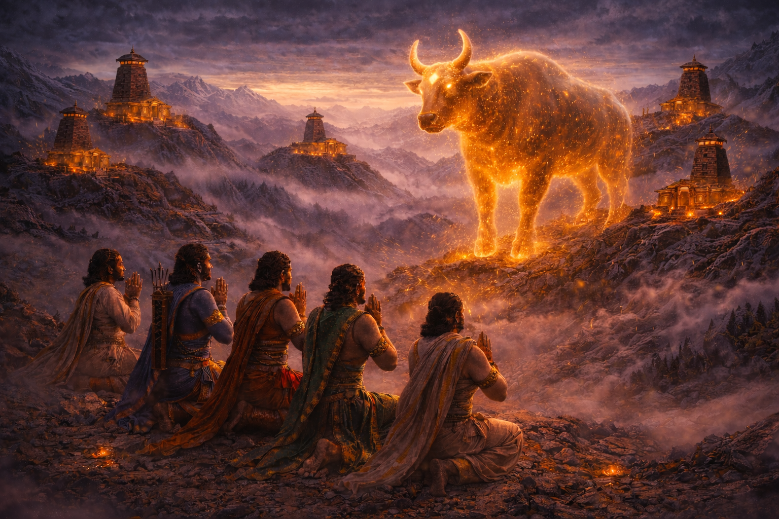
AI Generated
Summit Day
The alarm went off at 3 in the morning. Cold, dark, and every muscle in my body begging me to stay in the sleeping bag. But this was summit day. No excuses. We got ready and stepped out of our tents, and before we started walking, we gathered around in the soft moonlight to wish one of our fellow trekkers a happy birthday. Picture this. A group of sleepy trekkers huddled together in a mountain basecamp, singing happy birthday under a sky so clear that shooting stars streaked across it in the background. It was magical. By 4 am we were on the move, a gradual ascent towards Chopta. But here is the thing. After four days of trekking, my body was running on fumes. My bag felt heavier than ever. Two full water bottles, crampons, camera gear, everything adding up with every step. And then Rakesh, my colleague, did something I will never forget. He looked at me struggling and simply said, give me your bag, take mine. I hesitated. I knew I was passing my burden onto someone else and that did not sit right with me. But he insisted. And I am eternally grateful he did, because that man strapped on my heavy bag like it was nothing, attached jets to his feet, and was among the first few to reach the summit. Rakesh, if you are reading this, I owe you one for life.
From the Chandrashila base, the trail climbs steeply through 11 scissor bends up to Tungnath temple, a good two plus hours of relentless climbing. And then another 30 minutes from Tungnath to the Chandrashila peak. I started strong, but somewhere around the 8th or 9th bend, my body started talking to me in ways I could not ignore. Headache. Dizziness. Nausea. Fatigue. My lungs felt like they had shrunk to half their size. Every breath was a fight. Acute mountain sickness had quietly crept up on me. It usually hits within 6 to 12 hours of ascending to high altitude, and the toll from the previous days of trekking, the lack of sleep, the early wake up, it all piled up at the worst possible moment. Each step forward felt like a blow to my ego. I ran into Rakesh midway, grabbed my camera from the bag he was carrying, and kept pushing. Slowly. Painfully. One step at a time. Matu matu, remember?
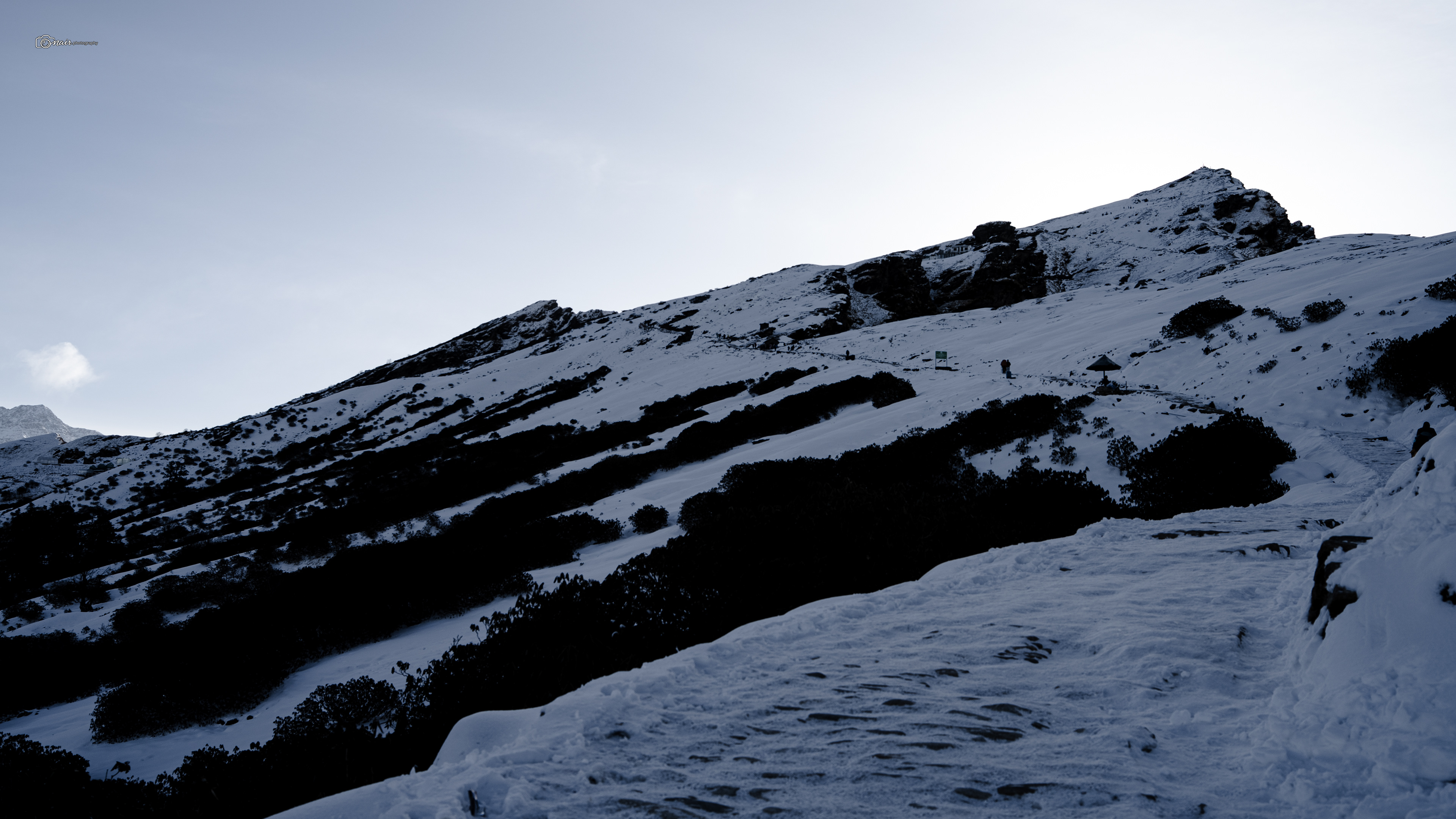
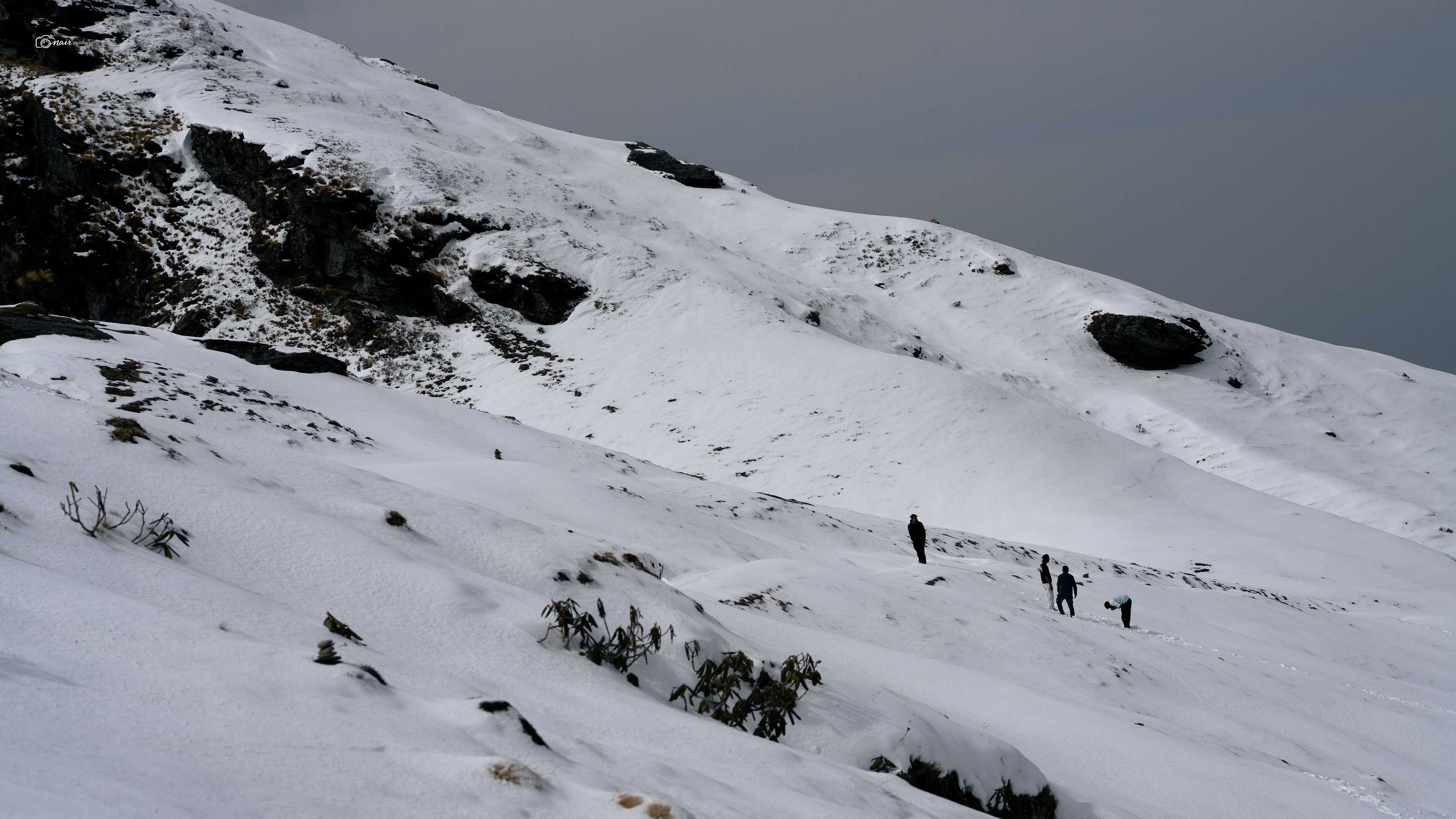
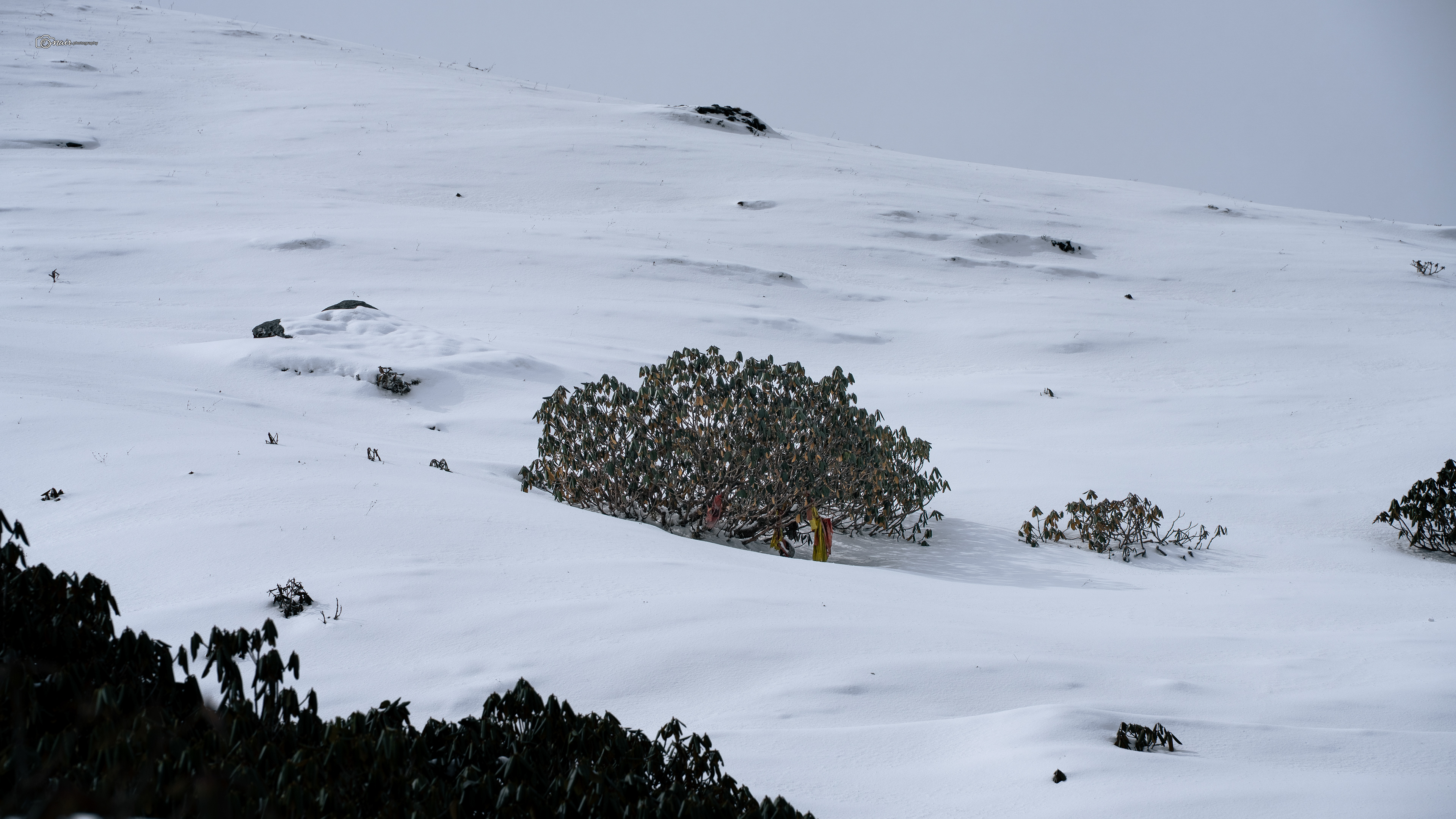
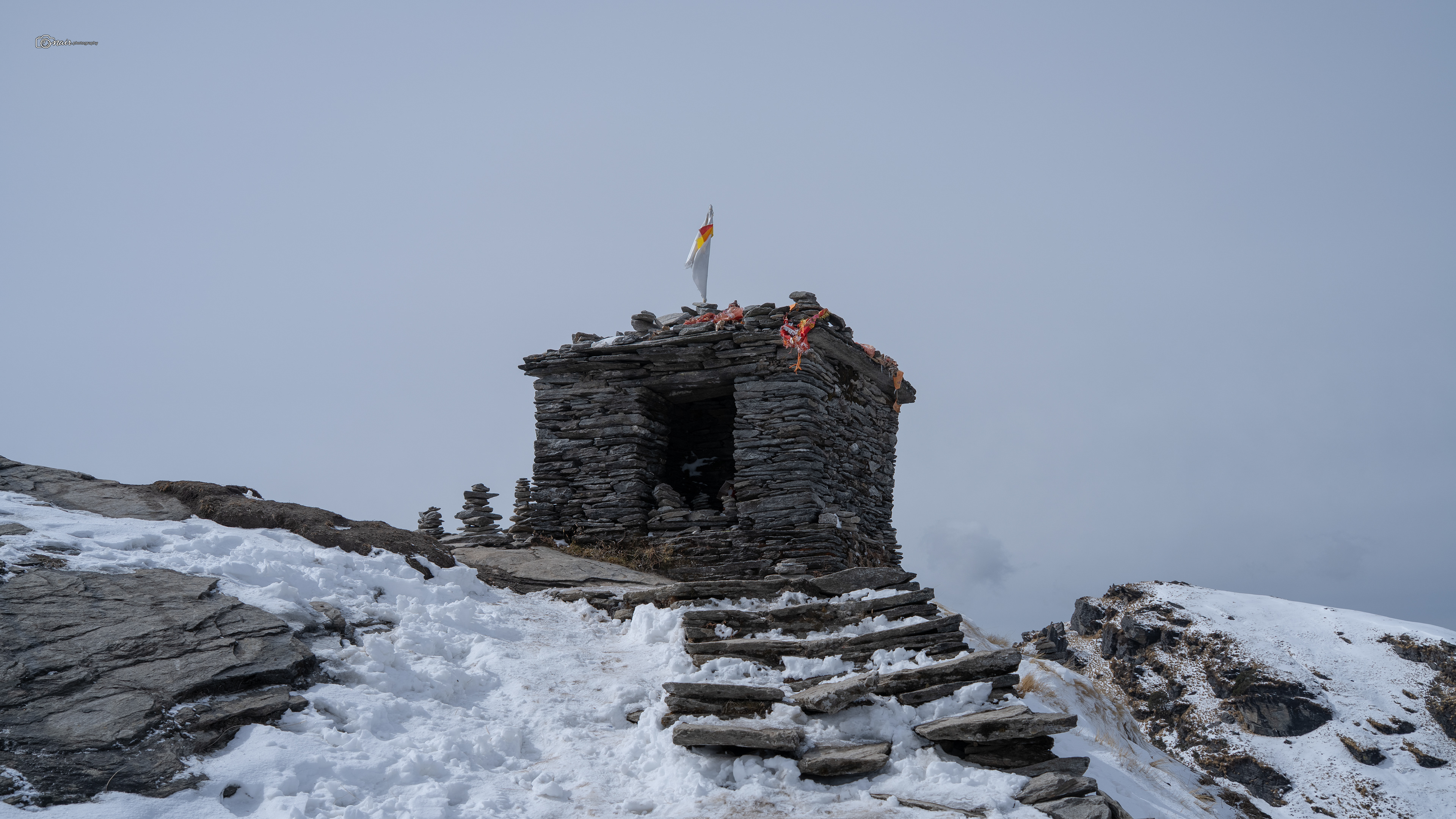
I finally reached the Tungnath temple at 11,410 feet. The highest Shiva temple in the world, one of the five sacred Panch Kedar shrines, standing there in all its ancient glory. I stood at its doors, looked up, and could see the Chandrashila summit just above me. Just 673 feet more. But my body had made its decision. The headache was pounding, the nausea was getting worse, and I knew that if I pushed any further, I would be putting myself in real danger. The treatment for acute mountain sickness is simple. Rest, hydrate, and descend if symptoms worsen. So I made the hardest call of the entire trek. I stopped. I sat down at Tungnath, 673 feet shy of the summit, and let the mountain win this round. Not every adventure has a perfect ending. Not every mountain needs to be conquered. I made it to one of the holiest temples in the Himalayas, I saw peaks I had only ever seen in photographs, and I came back safe. That is enough. And now that I know what to expect, how my body reacts, what to pack, how to prepare, I know I will be back. And next time, Chandrashila, I am coming all the way up.
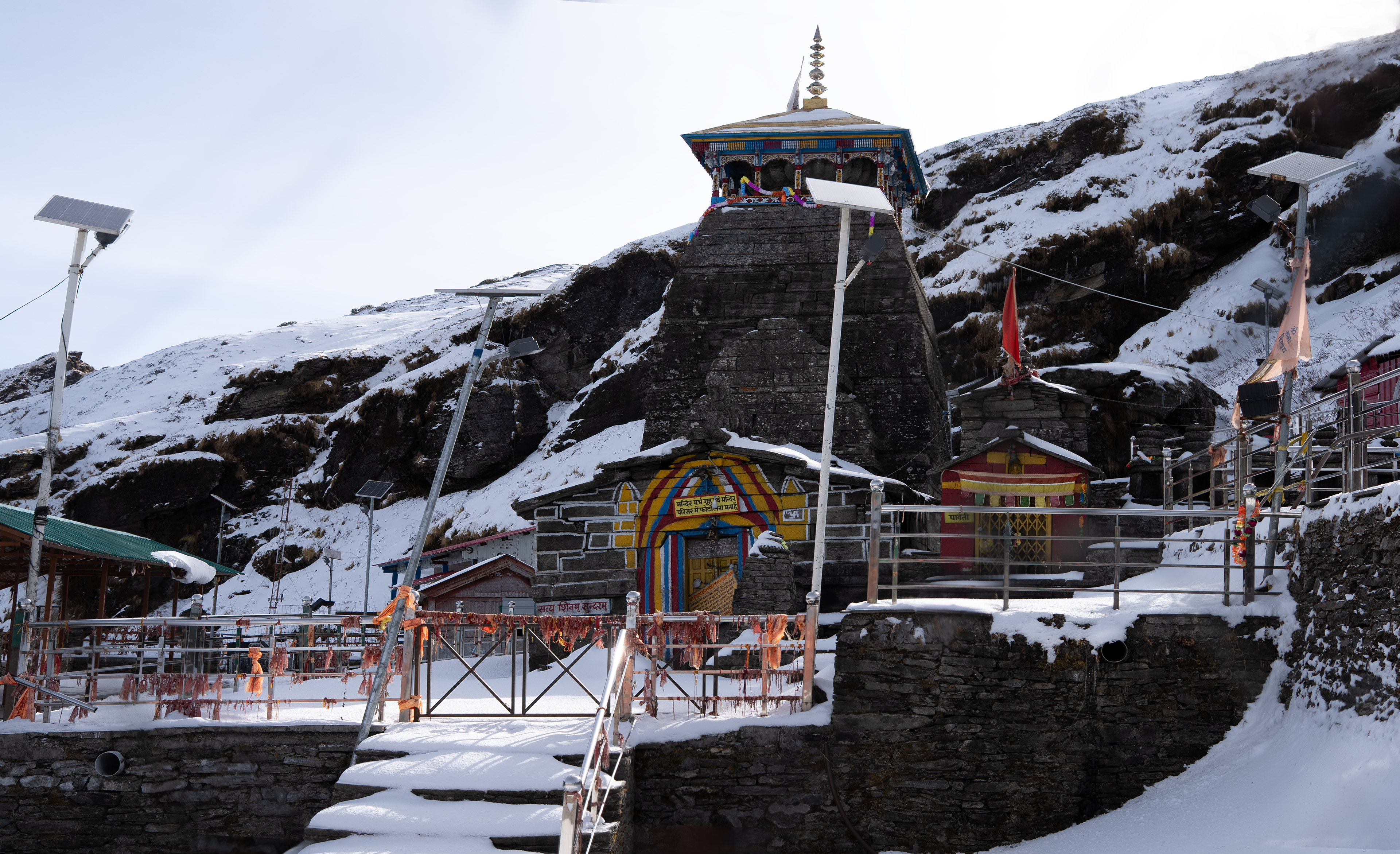
Alright, story time again. I know, I know, you are probably thinking how many more stories does this guy have? Trust me, just a few more left in my pocket.
So let me tell you about Tungnath temple.
You already know from our earlier stories that the Pandavas built this temple to appease Lord Shiva after the great war. But here is something that caught me completely off guard.
As you make your way up to Tungnath, the highest Shiva temple in the world at 11,410 feet, you might expect the priests serving here to be locals from the Garhwali community. They are not.
They come from Karnataka, in South India.
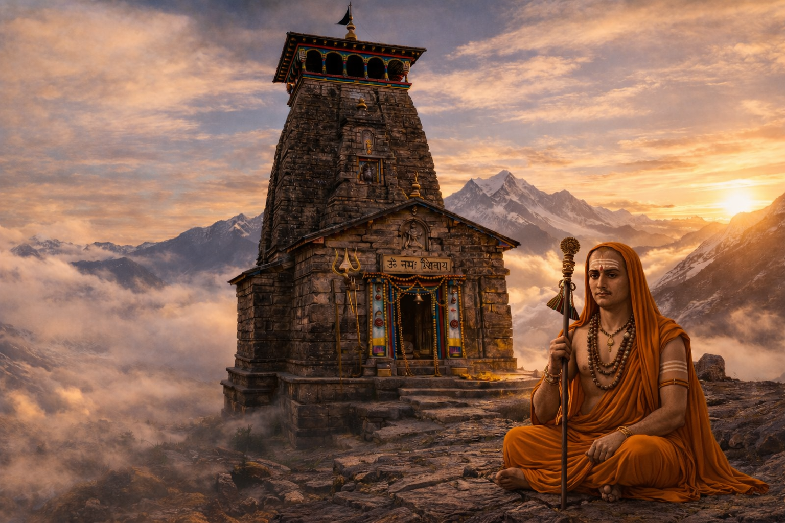
And they have been making this journey for over a thousand years. This tradition was started by Adi Shankaracharya in the 8th century CE. When Shankaracharya travelled through the Himalayas reviving ancient pilgrimage routes, he is credited with restoring the ancient Tungnath temple and deliberately placed priests from South India at the five sacred shrines of the Panch Kedar. His idea was beautiful and bold. Weave the spiritual fabric of India into a single thread by connecting its northern and southern extremities through devotion. A priest from Karnataka, thousands of kilometers from home, tending to a Shiva temple above the clouds in the Garhwal Himalayas. That is Shankaracharya's vision of unity, still breathing, still alive, over a thousand years later.
As you make your way up to Tungnath, the highest Shiva temple in the world at 11,410 feet, you might expect the priests serving here to be locals from the Garhwali community. They are not.
They come from Karnataka, in South India.
And they have been making this journey for over a thousand years. This tradition was started by Adi Shankaracharya in the 8th century CE. When Shankaracharya travelled through the Himalayas reviving ancient pilgrimage routes, he is credited with restoring the ancient Tungnath temple and deliberately placed priests from South India at the five sacred shrines of the Panch Kedar. His idea was beautiful and bold. Weave the spiritual fabric of India into a single thread by connecting its northern and southern extremities through devotion. A priest from Karnataka, thousands of kilometers from home, tending to a Shiva temple above the clouds in the Garhwal Himalayas. That is Shankaracharya's vision of unity, still breathing, still alive, over a thousand years later.
AI Generated
Oh and remember we still have not talked about Ravanshila?
That peak standing right next to Chandrashila? Well, this is where the demon king Ravana himself is believed to have meditated to please Lord Shiva. Think about that.
On one peak, Rama prayed for forgiveness after defeating Ravana. On the very next peak, Ravana once sat in devotion to the same god. Hero and villain, side by side, both surrendering to Shiva.
But Ravanshila has another name that the locals use. They call it Rudramukhi, the Speaking Mountain. And there are two reasons for that.
First, the rock formations on this peak are said to resemble the face of Lord Shiva, Rudra himself, carved not by human hands but by wind and time. And second, when the mountain wind passes through the crevices of Ravanshila, it creates a haunting sound that echoes through the valley. The locals believe this is a remnant of the powerful chants Ravana once recited during his penance, still echoing through the rocks after thousands of years. So if you ever stand near Ravanshila and the wind picks up, listen closely. You might just hear the last prayers of a demon king still hanging in the mountain air.
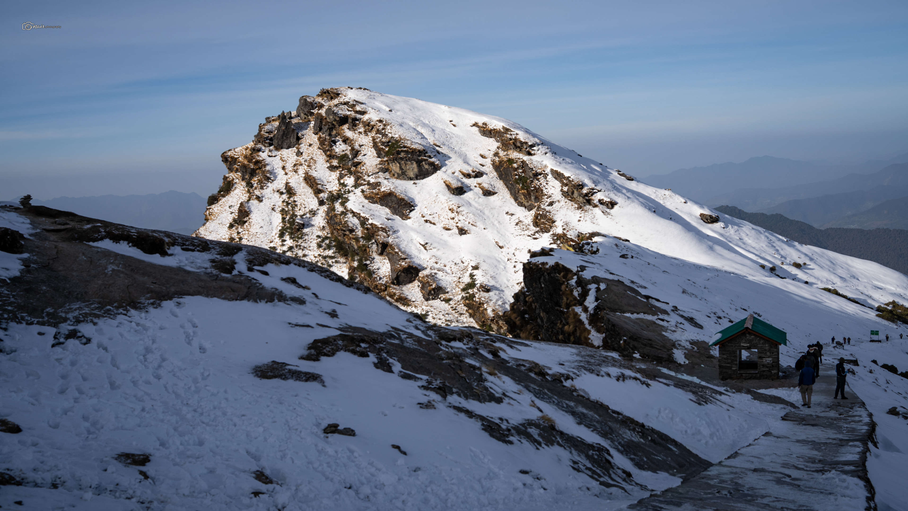
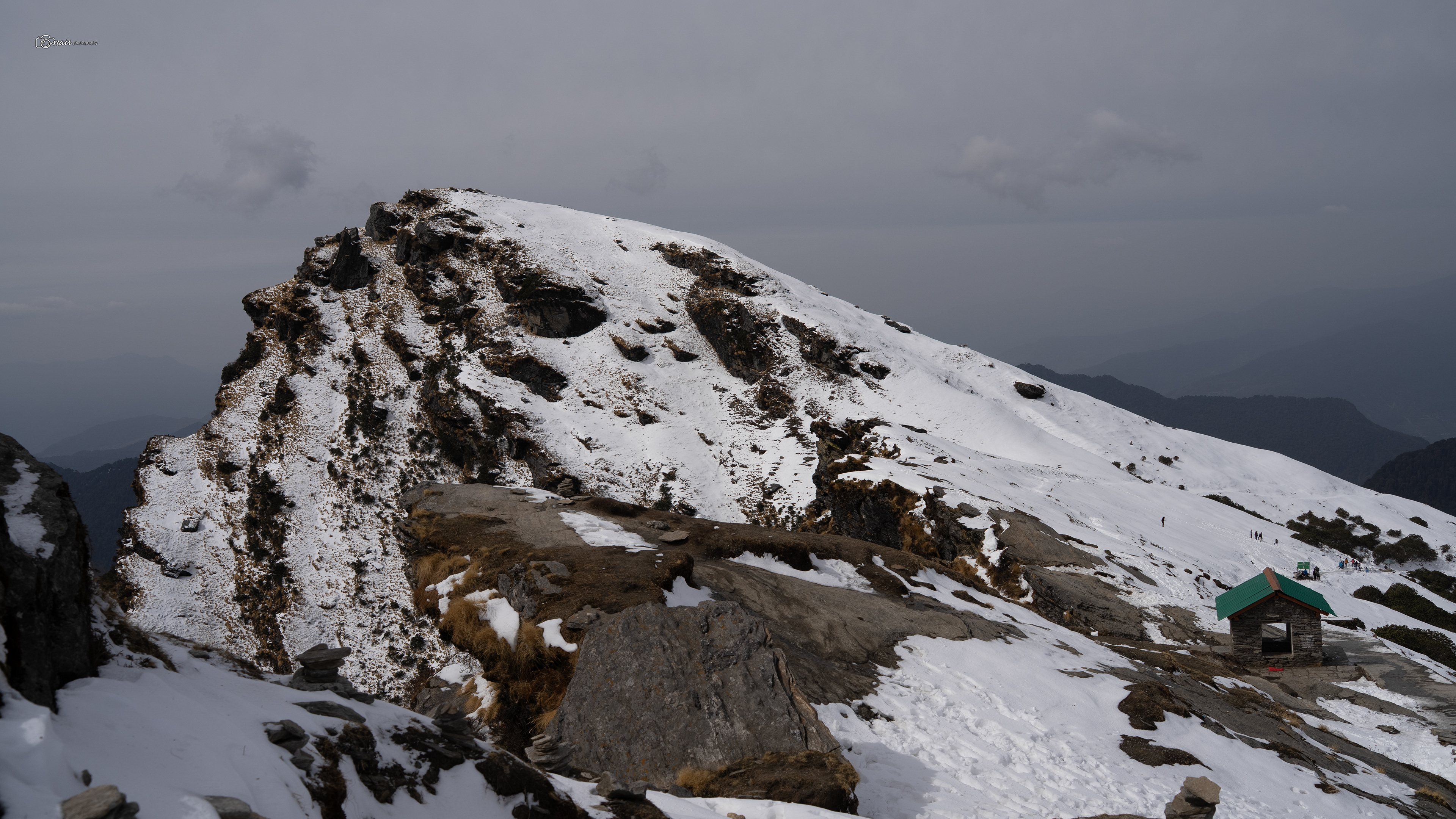
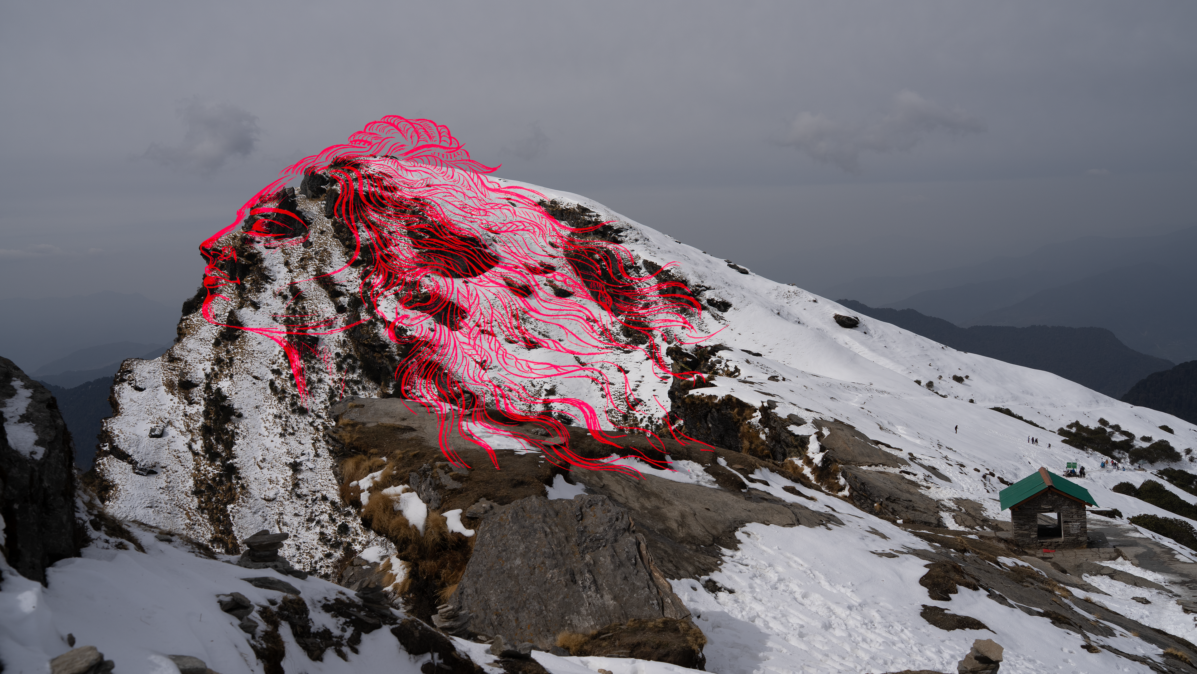
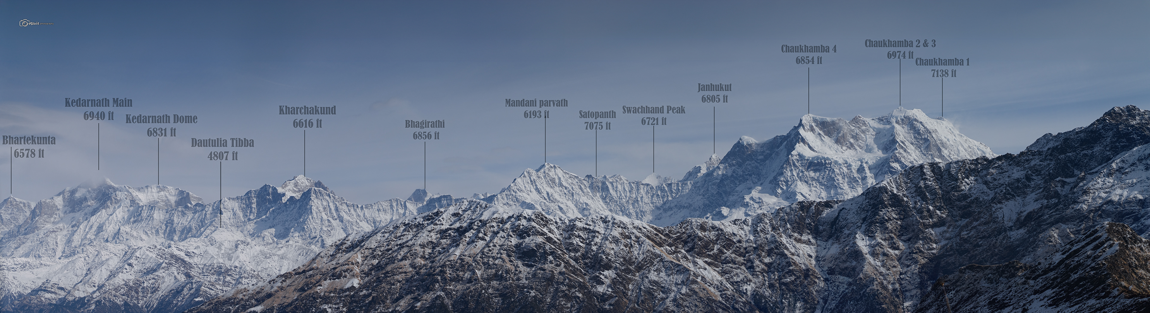
Now let me show you what stood before my eyes from this side of the peak.
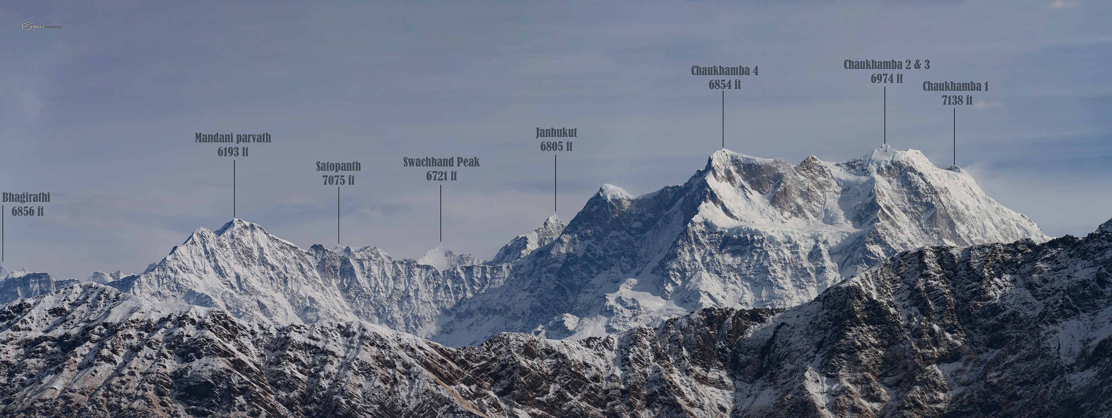
Maybe one day I will capture the other side too and complete the full 360 degree picture, but for now, let me introduce you to the giants I met that morning.
Maybe one day I will capture the other side too and complete the full 360 degree picture, but for now, let me introduce you to the giants I met that morning.
Bhagirathi : 6,856 ft : Named after King Bhagirath whose penance brought the Ganga down to earth, a peak as legendary as the story behind it.
Mandani Parvath : 6,193 ft : A quiet but striking peak that guards the upper Alaknanda valley.
Satopanth : 7,075 ft : Its name means the Lake of Truth, believed to be where Brahma, Vishnu, and Shiva once bathed together.
Swachhand Peak : 6,721 ft : A remote and rugged summit rarely attempted even by experienced climbers.
Janhukut : 6,805 ft : Named after the sage Jahnu who is believed to have swallowed the Ganga and released her through his ear, giving her the name Jahnavi.
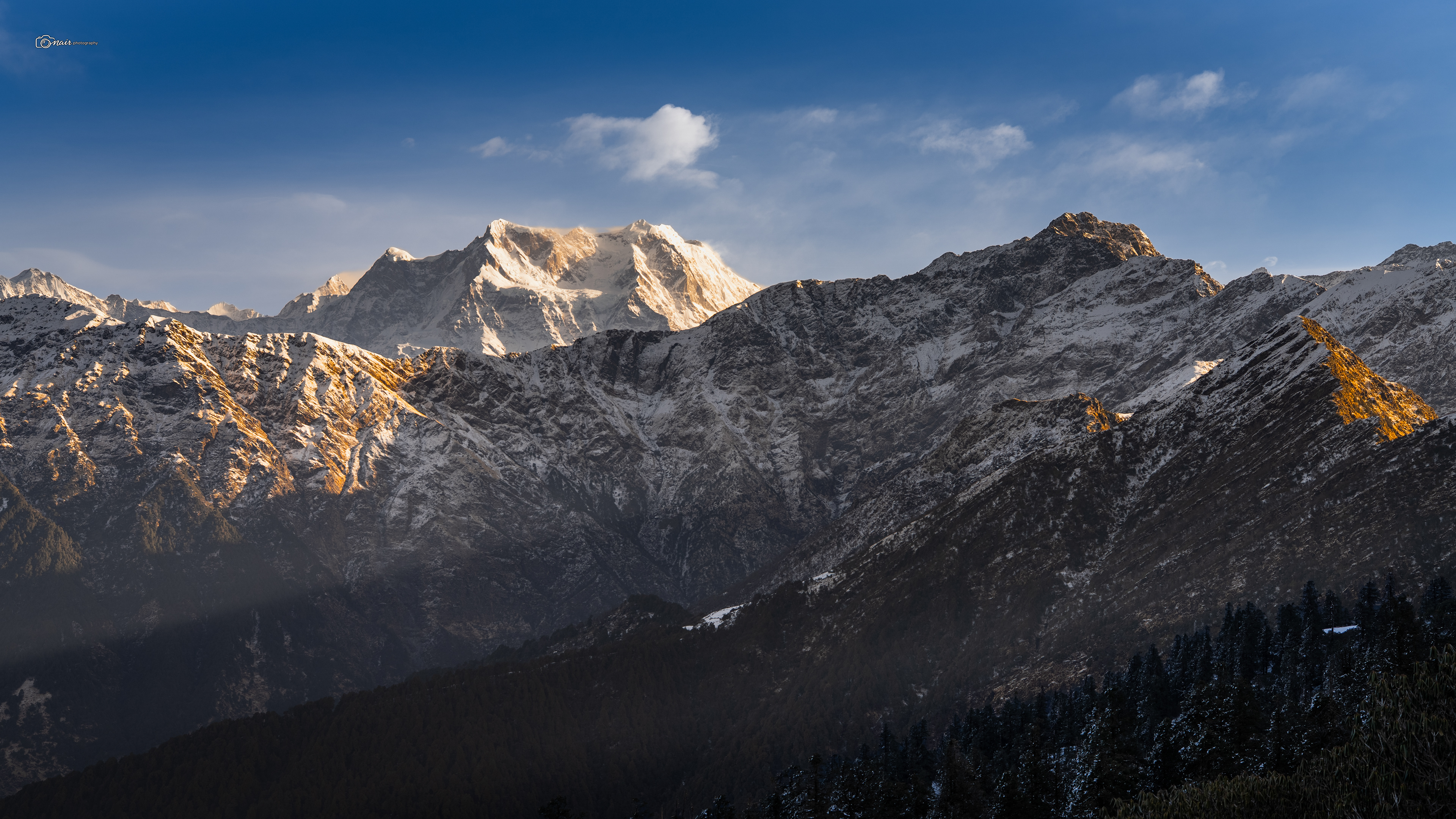
Chaukhamba 4 : 6,854 ft : The first of the mighty Chaukhamba massif, the same four peaks whose reflection we first saw in Deoriatal.
Chaukhamba 2 & 3 : 6,974 ft : The twin pillars of the massif standing tall side by side.
Chaukhamba 1 : 7,138 ft : The highest of them all, standing like the crown of the Garhwal Himalayas.
Bhartekunta : 6,578 ft : A lesser known but stunning peak nestled deep in the range.
Kedarnath Main : 6,940 ft : The peak that watches over the holiest Shiva temple in Uttarakhand.
Kedarnath Dome : 6,831 ft : A massive ice covered summit that mountaineers dream of.
Daufulia Tibba : 4,807 ft : A smaller but beautiful peak in the range.
Kharchakund : 6,616 ft : A towering guardian of the Kedarnath sanctuary.
All of them standing there in a single line, shoulder to shoulder, like an army of gods frozen in stone.
I took it all in for as long as my body allowed, and then began the descent towards Chopta. The way down was lined with rhododendron flowers in full bloom, a trail of red and pink guiding me back. And this is where Anil and Mohit told me something that made my jaw drop. They said the trek to the top takes about 5 hours, but the descent? It can be done in 5 to 10 minutes. Apparently there is a snow filled slope along the way where you can literally ski your way down. Dangerous, but doable if you know what you are doing. I do not think I was in any state to even think about attempting that. My body had already filed a formal complaint against me that day.
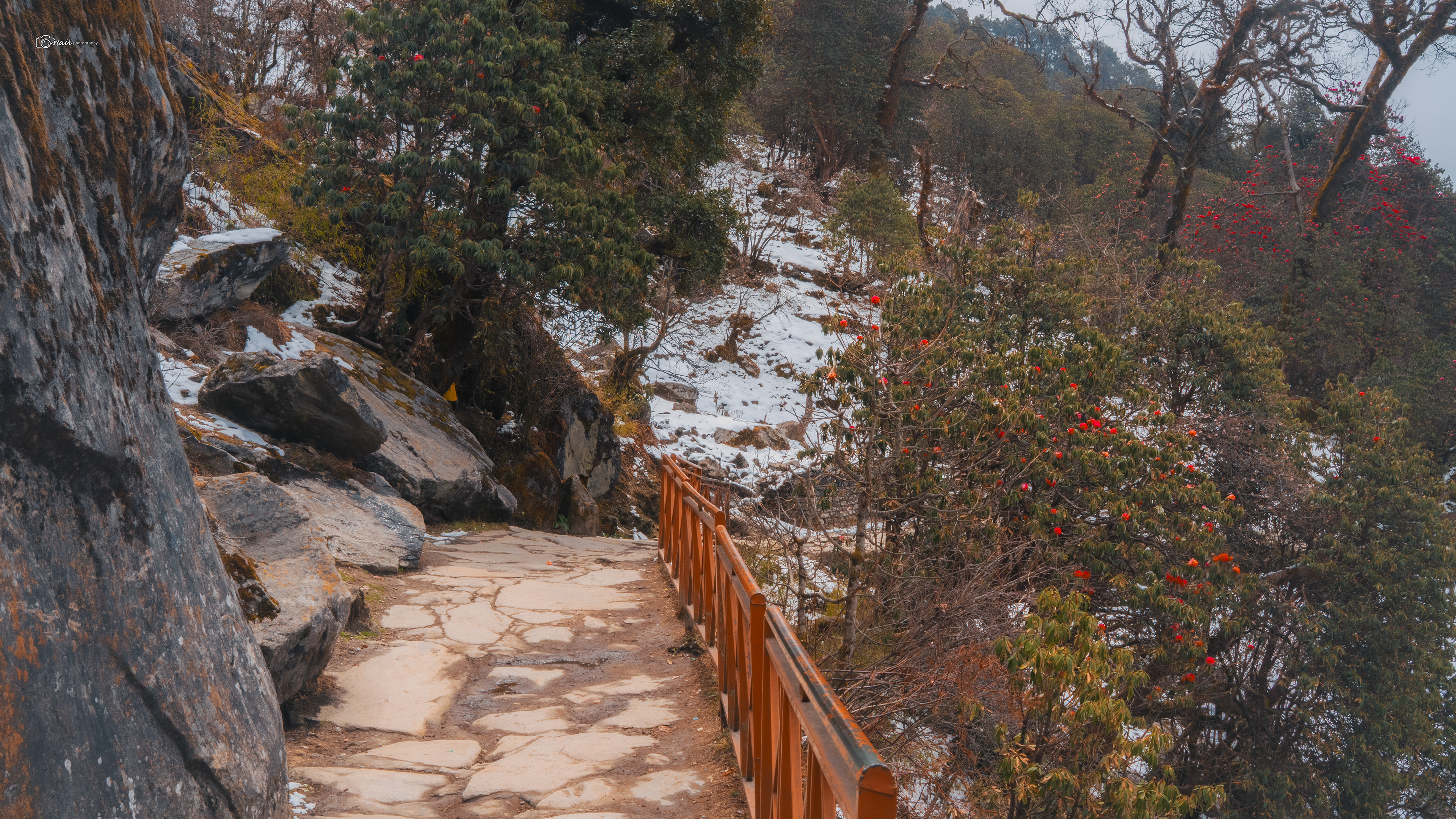
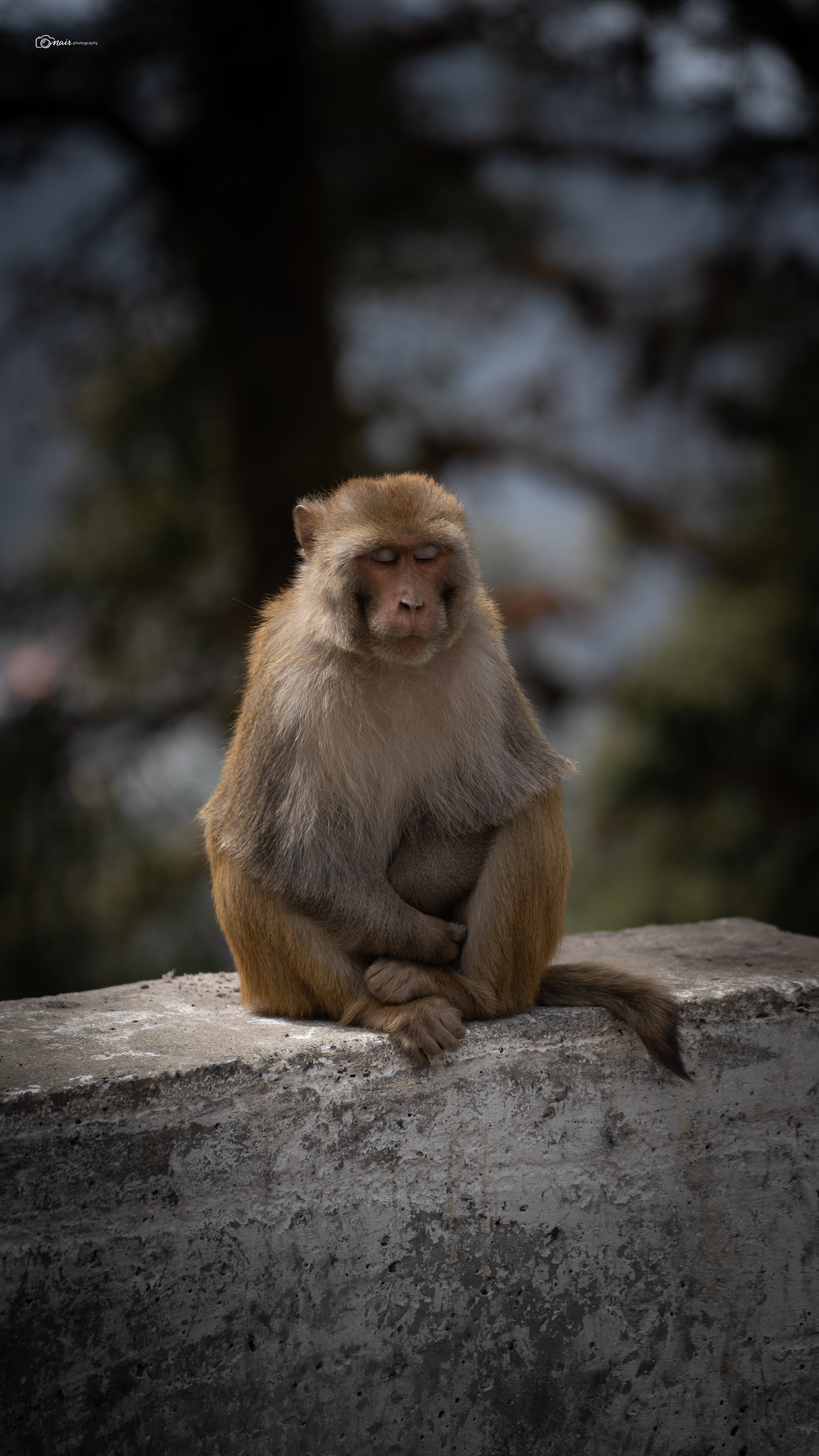
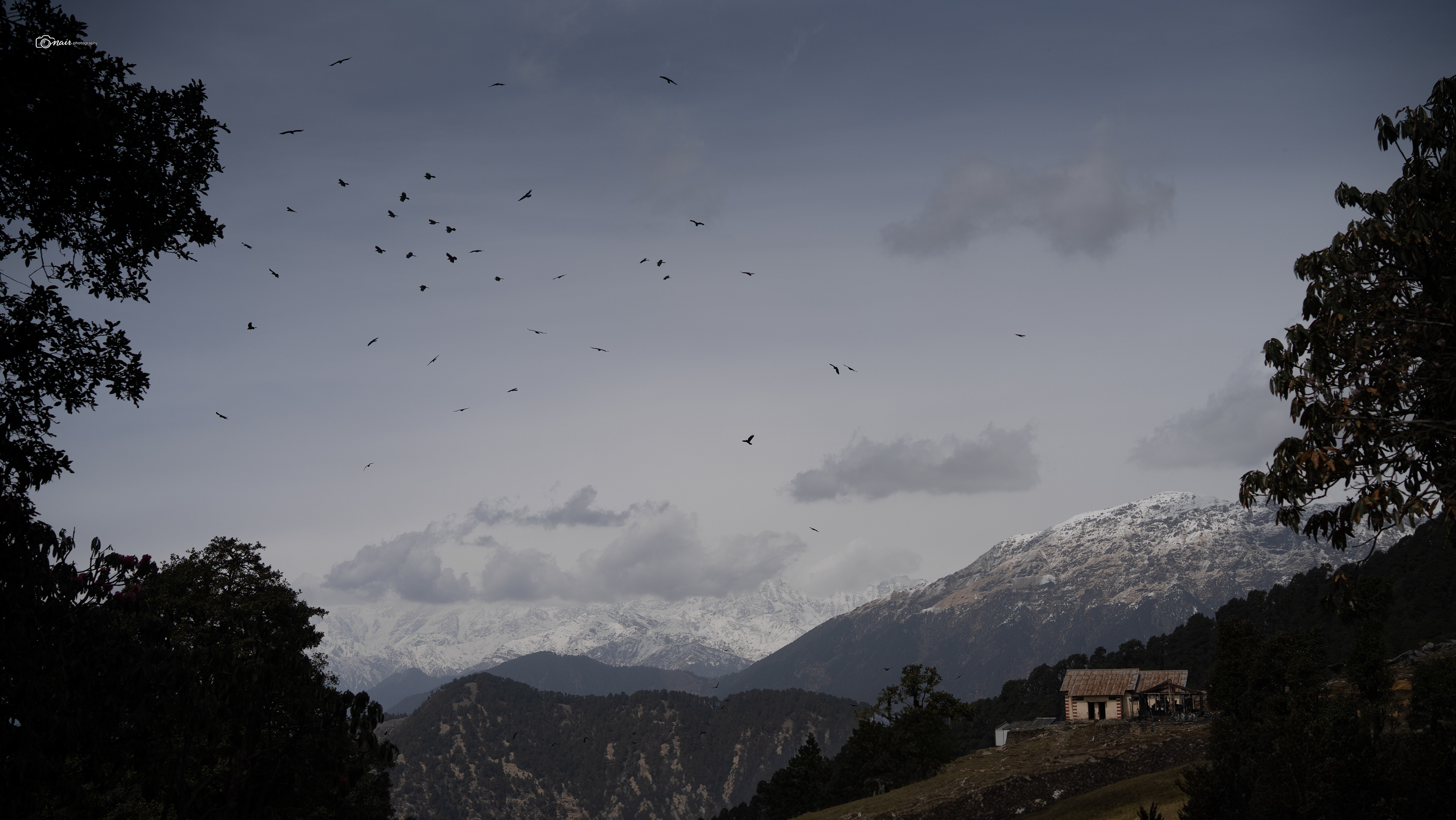
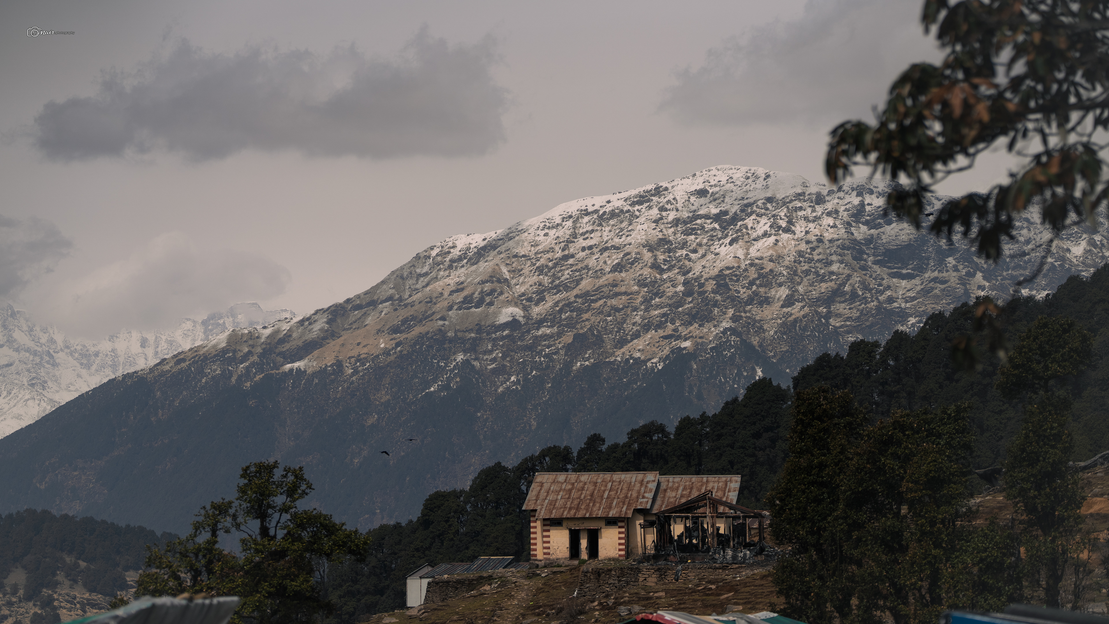
Finally reached Chopta, and while waiting for the rest of the team to come down, I spotted a troop of tiny monkeys jumping around near the tree line. And right there in front of me was this small lone house sitting quietly against the backdrop of the massive mountain range. Simple, still, and perfectly placed, like someone had built it just so the mountains would have company. Sometimes the smallest frames hold the biggest pictures.
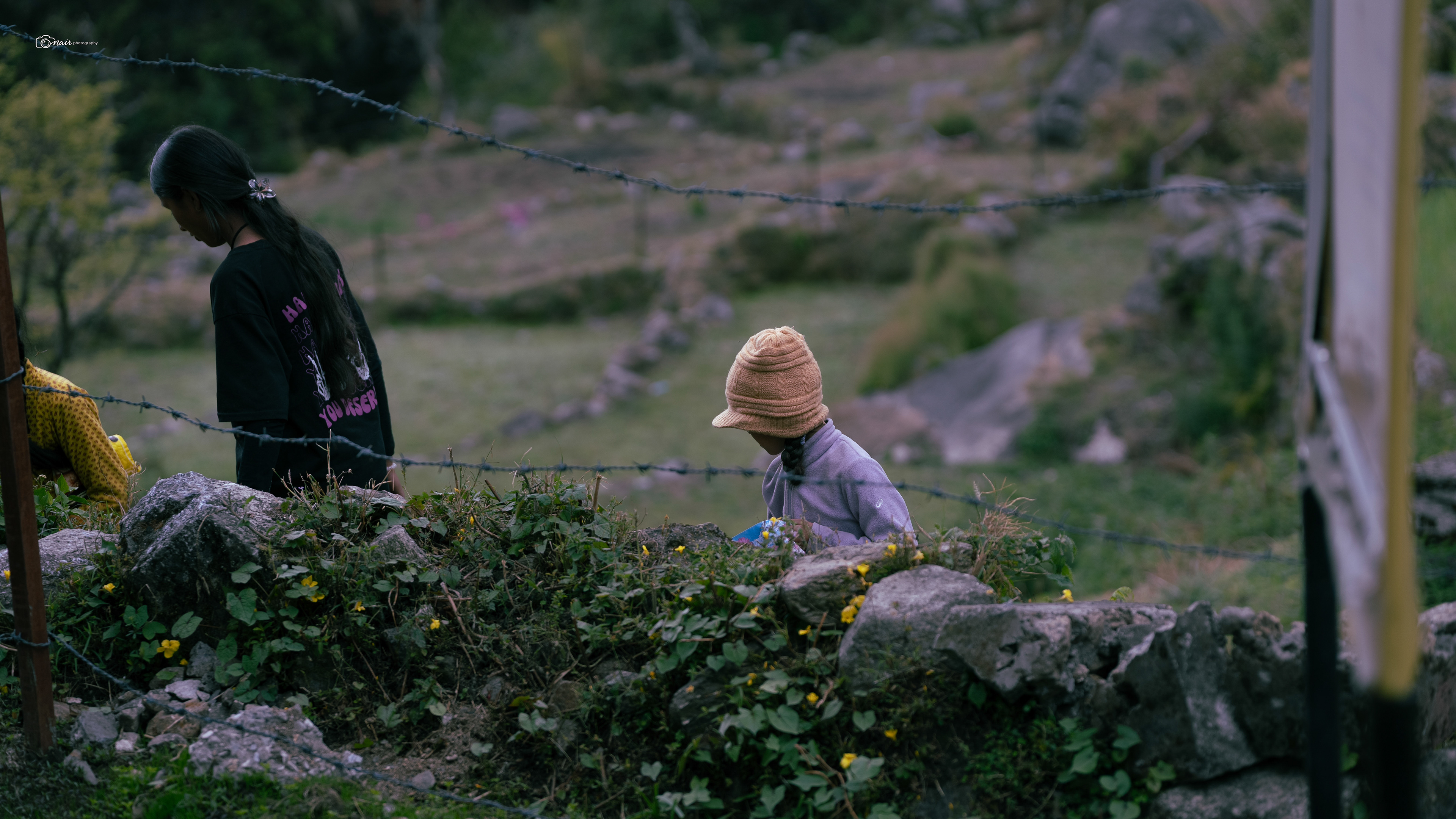
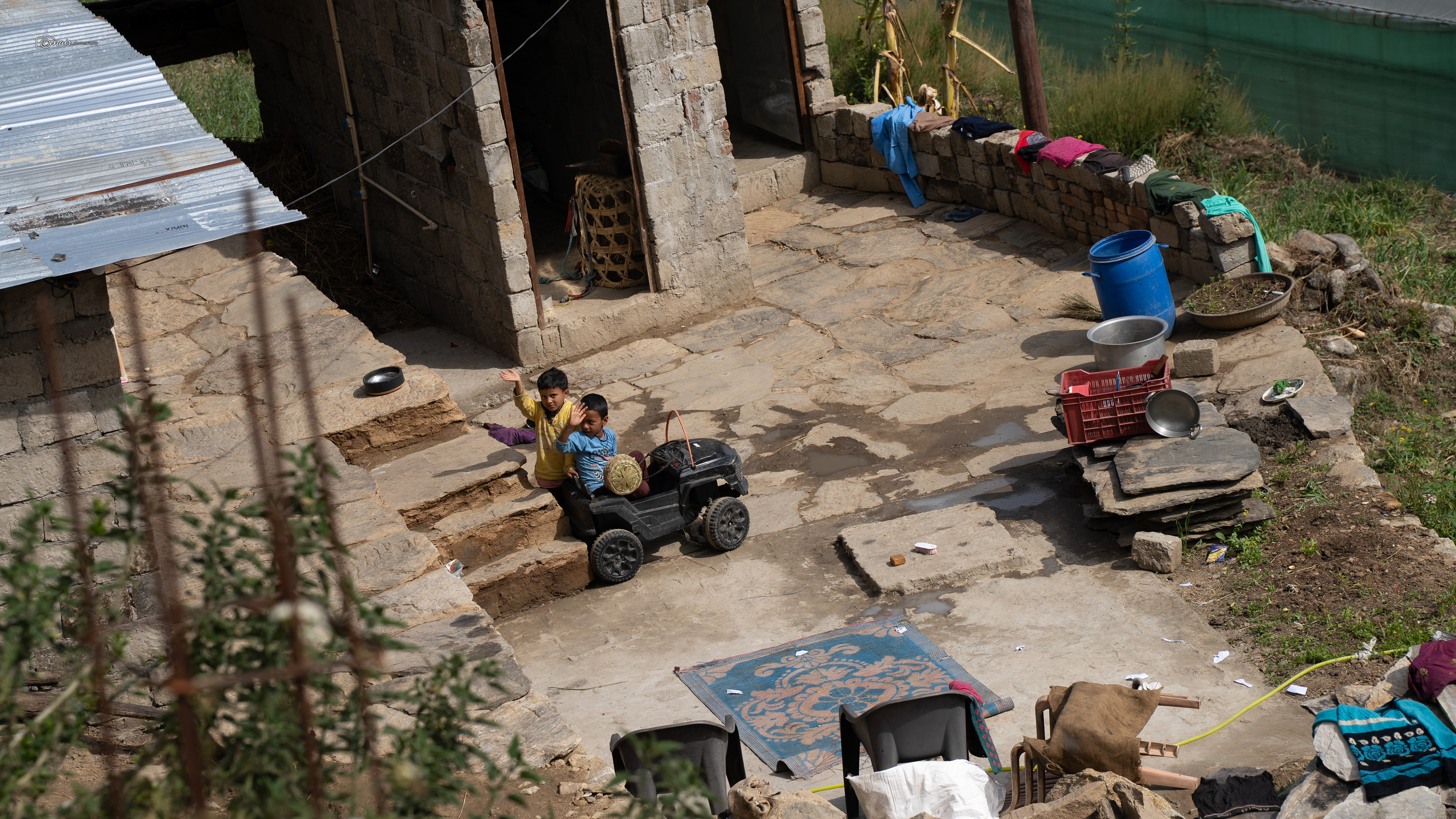
We piled into a tempo traveller from Chopta and the drive back to Sari took about an hour. That evening was all about resting and letting our bodies recover from the madness of summit day. As I was heading to my room, I spotted a young girl plucking flowers from the garden at our Sari basecamp. She and her friends were carefully picking the brightest blooms, laughing and chatting while they worked. It felt cute, innocent, like just another evening in the village. I did not think much of it at the time. I assumed it was just kids being kids, doing what village children do. I clicked a quick picture and moved on, knowing the very next day we had to make the long drive back to Rishikesh.
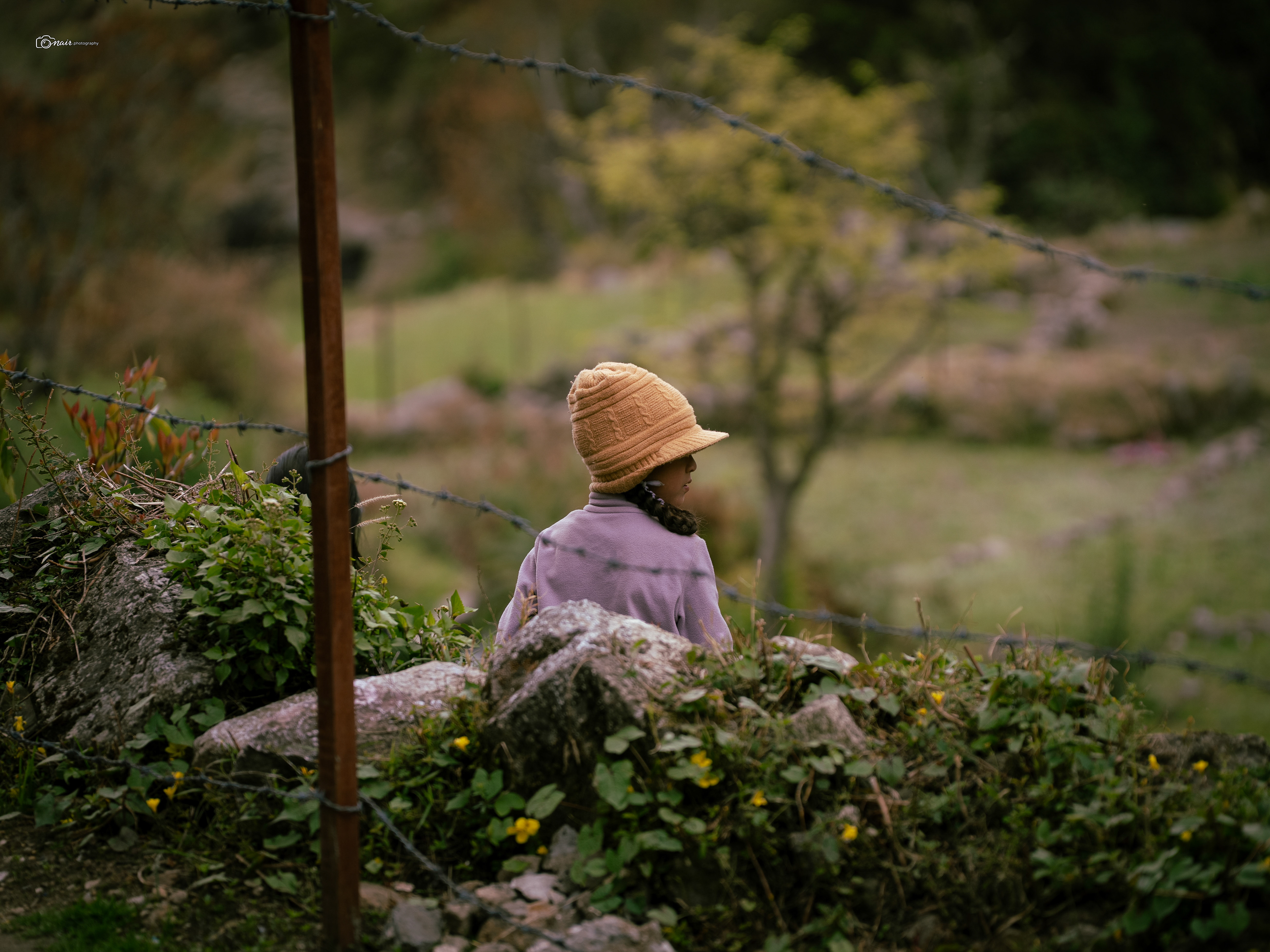
Day 6
We were waiting for our bus when I saw a group of kids carrying a small idol of a deity through the road, playfully singing and dancing with it. And that is when it all clicked. Looking back now, the little girl plucking flowers the evening before was not just playing around. She was collecting them for Phool Dei, a beautiful local festival celebrated in Uttarakhand at the arrival of spring. During Phool Dei, young girls go door to door placing flower petals on the thresholds of homes as a blessing, a prayer for prosperity and good fortune for the family inside. It is one of the most heartwarming traditions in the hills. And I am so glad I was able to capture that quiet little behind the scenes moment of something truly beautiful without even realising what it was at the time. Sometimes the best photographs are the ones where the story finds you later.
Photo by a fellow trekker : Dr Prashant Trivedi
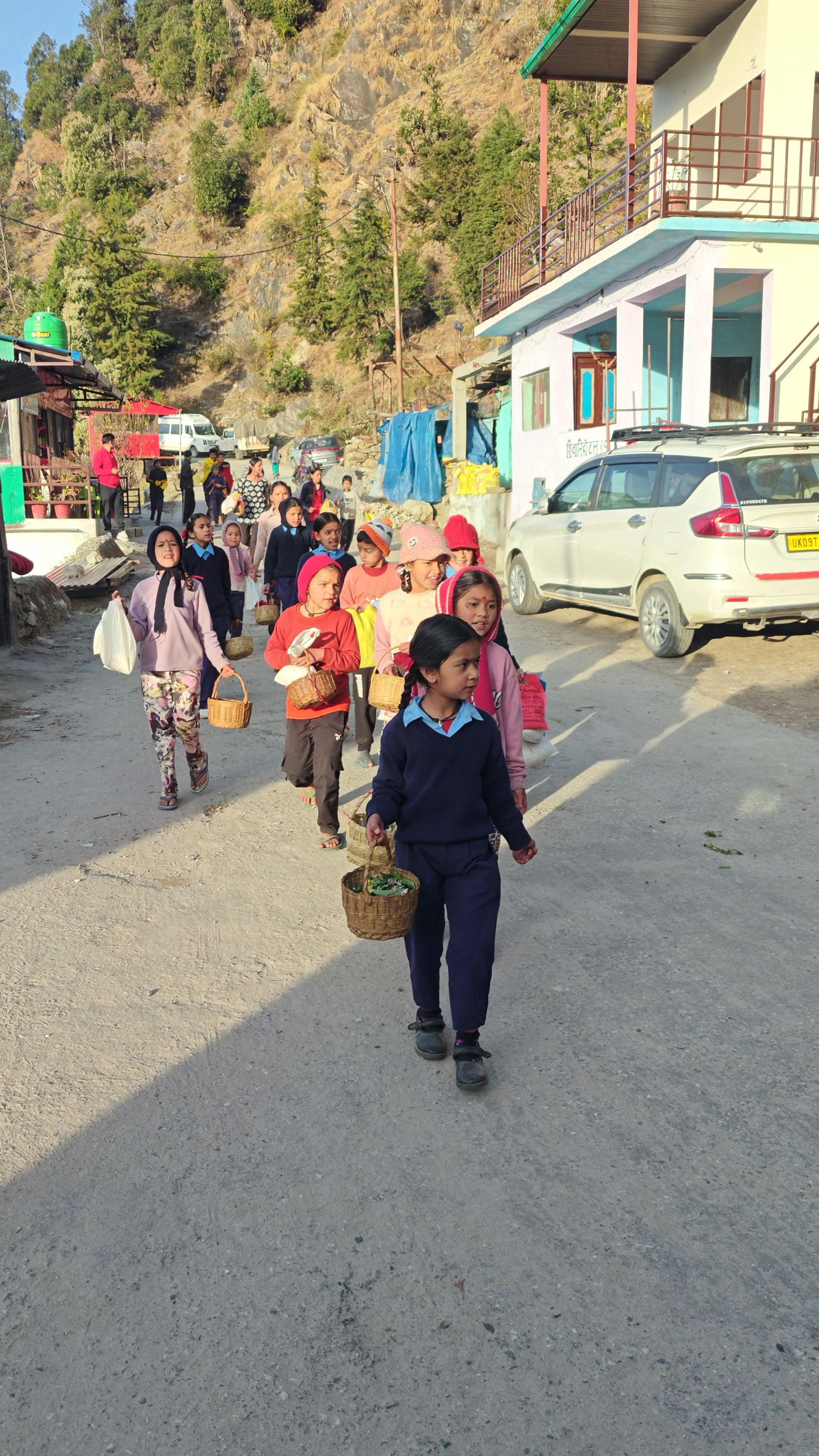
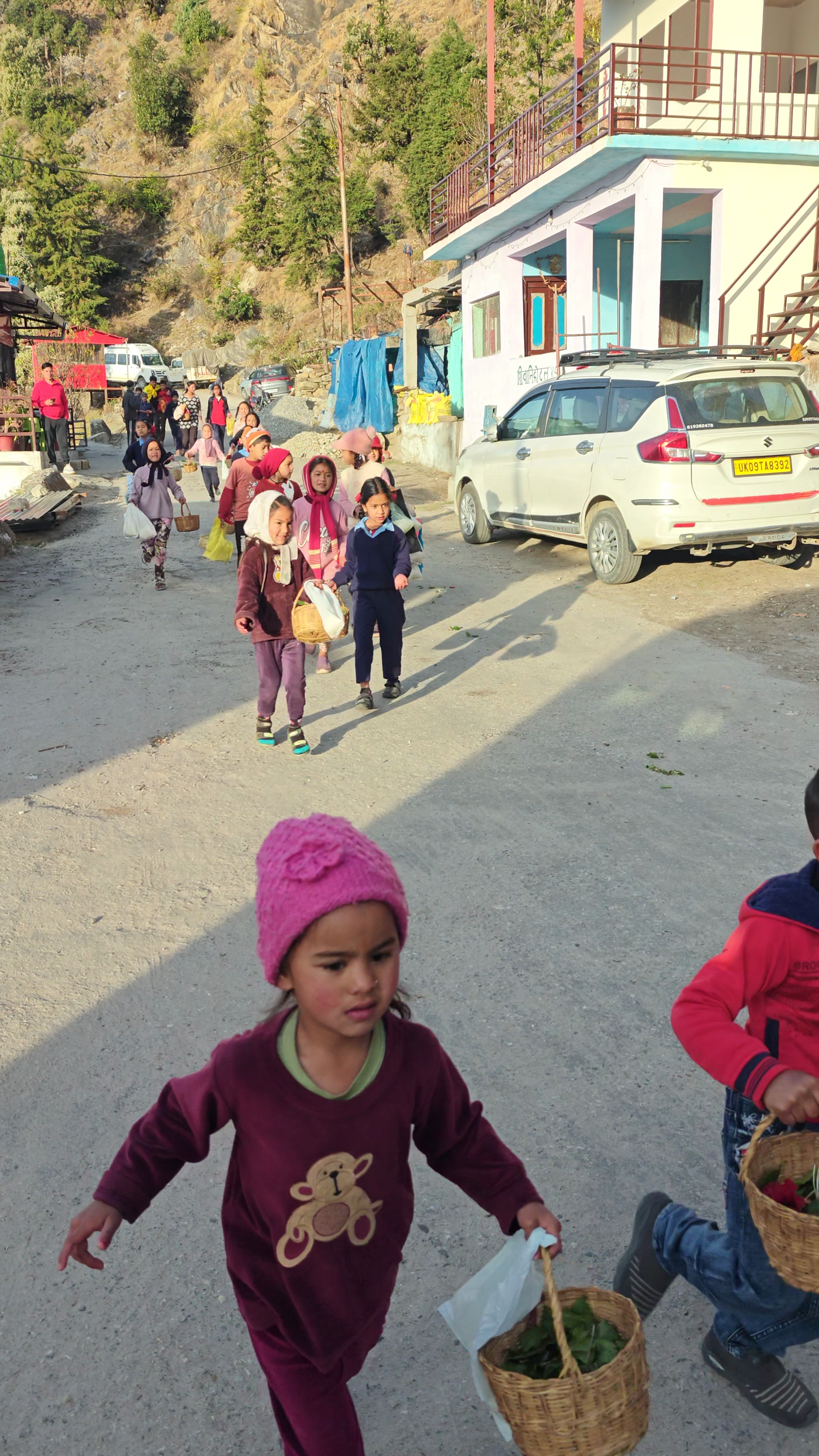
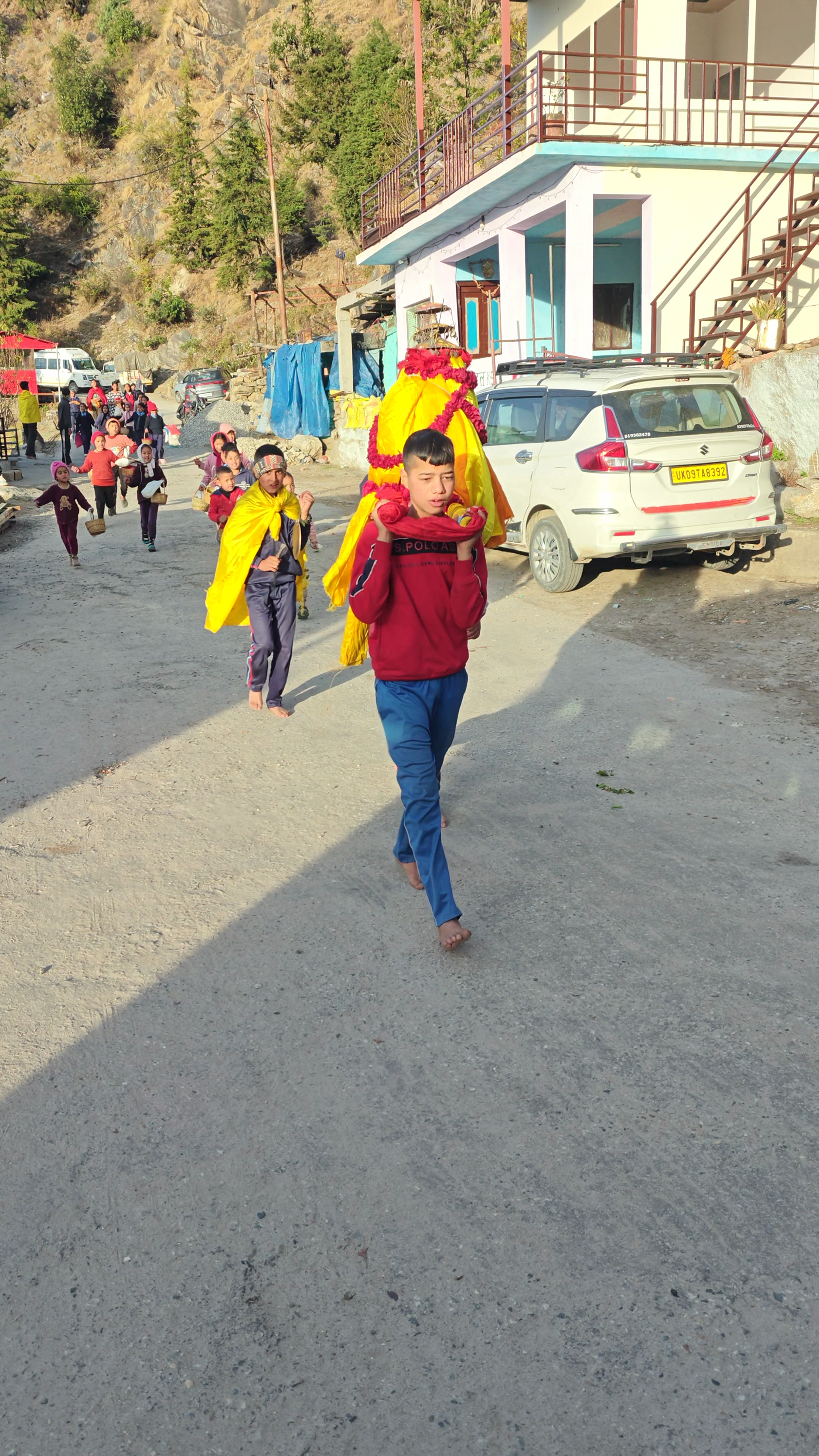
This trek taught me something no classroom ever could. That the mountains do not care about how fast you climb or how expensive your gear is.
They only ask you to show up, be humble, and take one step at a time. I have never experimented with this kind of storytelling before, and I hope it was not too much.
But if through all these words and pictures, I have managed to inspire even one person to lace up their boots and hit a trail, then every bit of it was worth it.
They only ask you to show up, be humble, and take one step at a time. I have never experimented with this kind of storytelling before, and I hope it was not too much.
But if through all these words and pictures, I have managed to inspire even one person to lace up their boots and hit a trail, then every bit of it was worth it.
Travel and trekking found me when I was at my lowest.
It gave me purpose.
It gave me that feeling of achievement when you finally reach the summit and everything else, every worry, every sorrow, every problem, just fades away into the thin mountain air.
Go out there.
Stand in front of the giants of the Himalayas. And you will see just how small your problems really are.
Godspeed.
Disclaimer
This blog focuses primarily on photography. On a typical trip, I shoot thousands of images and spend a considerable amount of time selecting and editing them alongside my regular work. To manage this, I use AI only to help refine wording, improve clarity, and speed up publishing.
This blog focuses primarily on photography. On a typical trip, I shoot thousands of images and spend a considerable amount of time selecting and editing them alongside my regular work. To manage this, I use AI only to help refine wording, improve clarity, and speed up publishing.
All stories and details are based on information gathered from locals, guides, and official sources. AI is not used to create or alter facts, only to polish how they are presented.